Ley Fields
Downs, Moorland in Yorkshire
England
Ley Fields

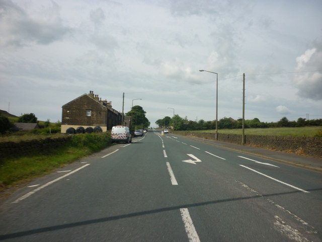
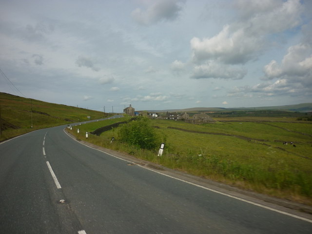
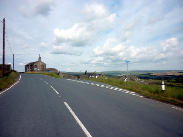
Ley Fields is a picturesque region located in Yorkshire, England, known for its stunning countryside landscapes and diverse natural beauty. This area encompasses both downs and moorland, making it a unique and captivating destination for nature enthusiasts and avid hikers alike.
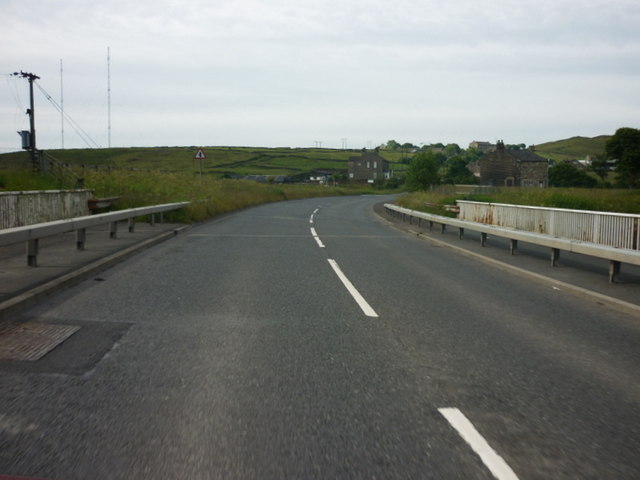
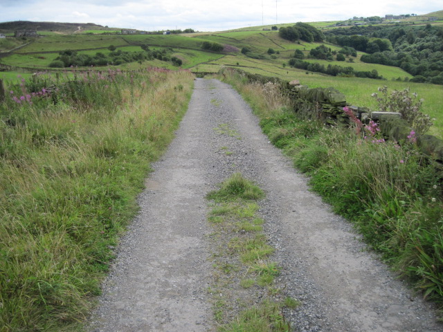
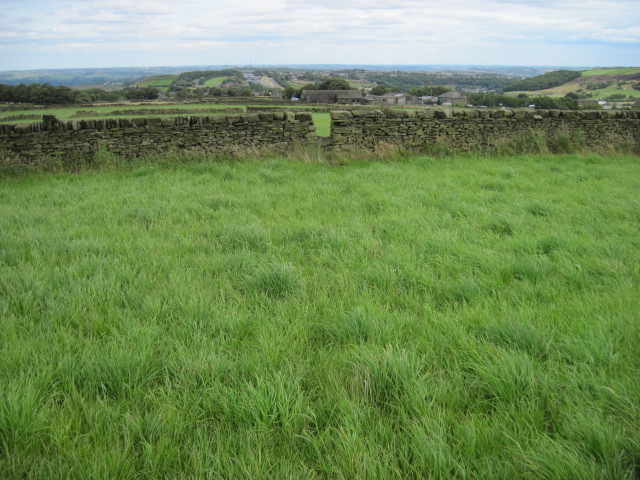
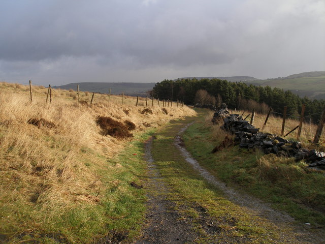
The downs of Ley Fields offer rolling hills and meadows, characterized by their lush greenery and panoramic views. These open spaces provide a tranquil setting for outdoor activities such as picnicking, kite flying, or simply enjoying a leisurely walk while immersing oneself in the peacefulness of the surroundings.
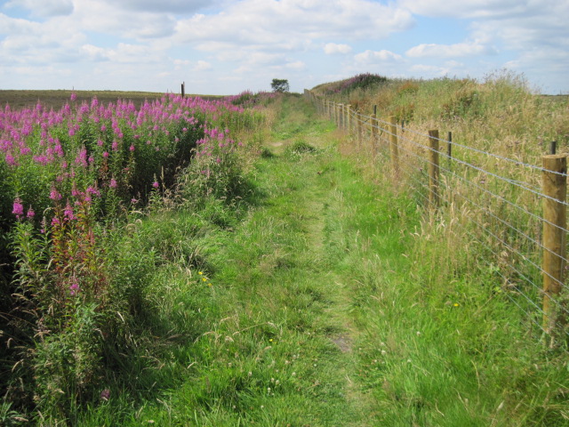
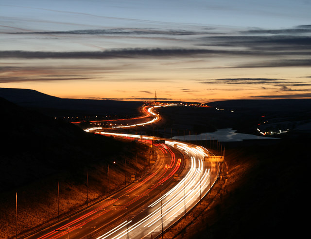
On the other hand, the moorland of Ley Fields showcases a more rugged and untamed terrain. Visitors can traverse across vast expanses of heather-covered hills and experience a sense of untamed wilderness. The moorland is also home to a variety of wildlife species, including grouse, foxes, and curlews, making it an ideal location for bird watching and wildlife observation.
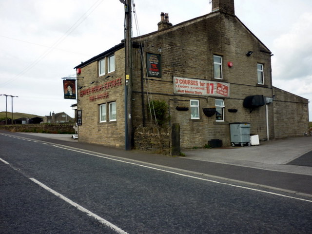
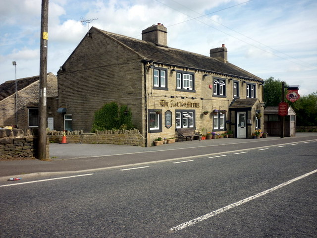
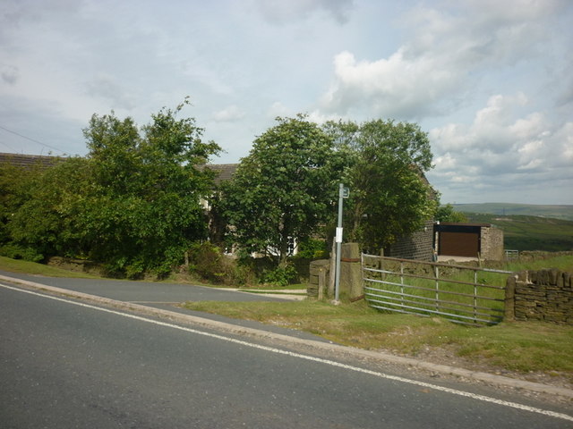
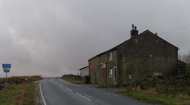
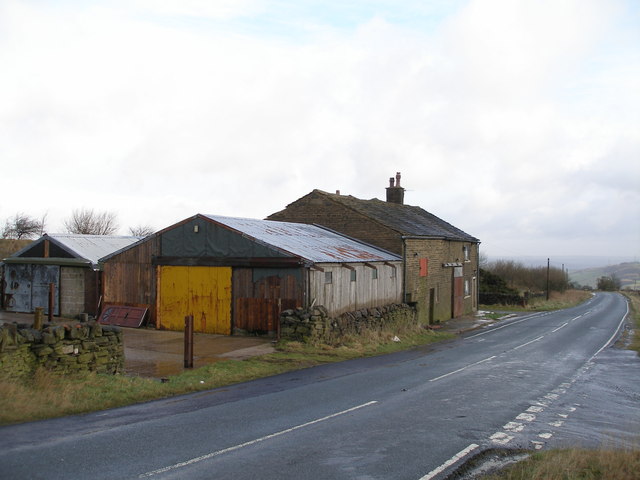
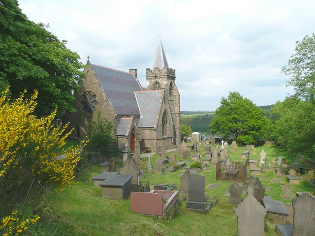
The Ley Fields region is dotted with charming villages, each with its own unique character and history. These villages offer a glimpse into the traditional way of life in Yorkshire, with their quaint cottages, ancient churches, and local pubs serving up delicious regional cuisine.
Overall, Ley Fields, Yorkshire, provides a harmonious blend of natural beauty, cultural heritage, and outdoor recreational opportunities. Whether one seeks adventure on the moorland or wishes to unwind amidst the idyllic downs, this region is sure to captivate and inspire all who visit.
If you have any feedback on the listing, please let us know in the comments section below.
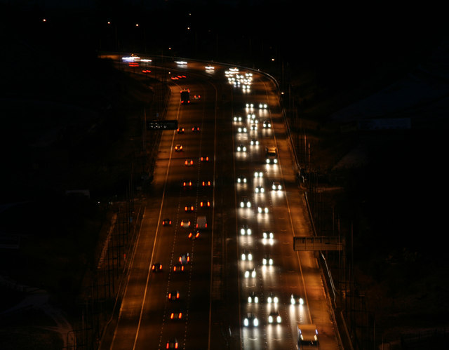
Ley Fields Images
Images are sourced within 2km of 53.649668/-1.9119449 or Grid Reference SE0517. Thanks to Geograph Open Source API. All images are credited.
Ley Fields is located at Grid Ref: SE0517 (Lat: 53.649668, Lng: -1.9119449)
Division: West Riding
Unitary Authority: Calderdale
Police Authority: West Yorkshire
What 3 Words
///dining.steeped.mermaids. Near Barkisland, West Yorkshire
Nearby Locations
Related Wikis
Scammonden
Scammonden or Dean Head was a village close to Huddersfield, in the Dean Head Valley, England, before the valley was flooded to create Scammonden Reservoir...
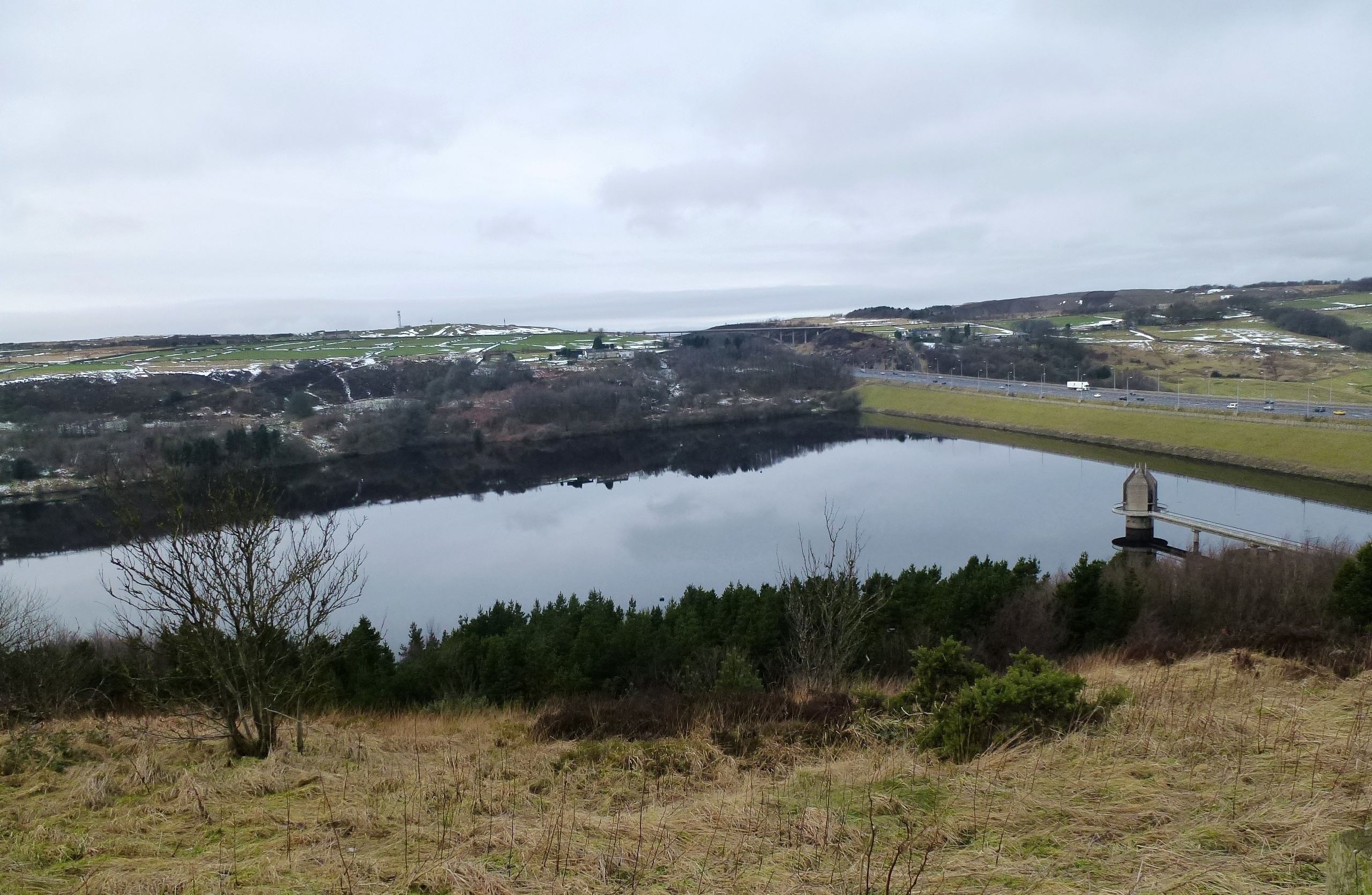
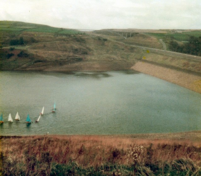
Scammonden Reservoir
Scammonden Reservoir is a water reservoir in West Yorkshire, England. Its water surface area when full is 42 hectares (0.16 sq mi). The level of the bellmouth...

Scammonden Bridge
Scammonden Bridge, also known locally as the Brown Cow Bridge (after the nearby Brown Cow Inn, now closed), spans the Deanhead cutting carrying the B6114...

Pole Moor
Pole Moor is a hamlet between Outlane and Scammonden in Kirklees, England. It is situated on a high moorland plateau between Slaithwaite and Wholestone...
Nearby Amenities
Located within 500m of 53.649668,-1.9119449Have you been to Ley Fields?
Leave your review of Ley Fields below (or comments, questions and feedback).