Banquet House Clough
Valley in Yorkshire
England
Banquet House Clough

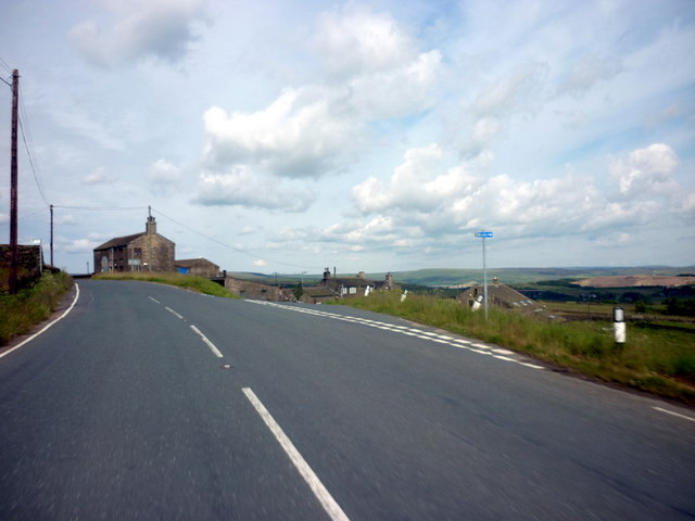
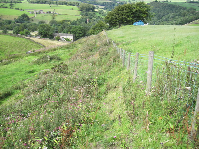
Banquet House Clough, located in the picturesque Yorkshire Valley, is a historic property with a rich and fascinating history. Situated amidst lush greenery and rolling hills, the house offers a tranquil retreat for visitors seeking a peaceful countryside experience.
The origins of Banquet House Clough can be traced back to the 17th century when it was first built as a traditional farmhouse. Over the years, it has undergone several renovations and expansions, transforming into the elegant and charming property it is today. The house retains many of its original features, such as exposed beams and stone walls, adding to its character and authenticity.
The interior of Banquet House Clough is tastefully decorated, blending modern comforts with classic charm. Visitors can expect spacious and comfortable rooms, each thoughtfully designed to provide a cozy and relaxing atmosphere. The house offers a range of accommodations, including self-catering cottages and bed and breakfast options, catering to the needs of different travelers.
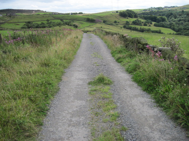
Surrounded by stunning natural beauty, Banquet House Clough is an ideal base for outdoor enthusiasts. The Yorkshire Valley offers a plethora of activities, including hiking, cycling, and birdwatching. Additionally, the nearby market towns of Skipton and Hebden Bridge provide opportunities for shopping, dining, and exploring local culture.
With its idyllic location, rich history, and warm hospitality, Banquet House Clough is a perfect destination for those seeking a peaceful getaway in the heart of Yorkshire. Whether it's for a weekend break or a longer stay, visitors are guaranteed a memorable experience in this charming countryside retreat.
If you have any feedback on the listing, please let us know in the comments section below.
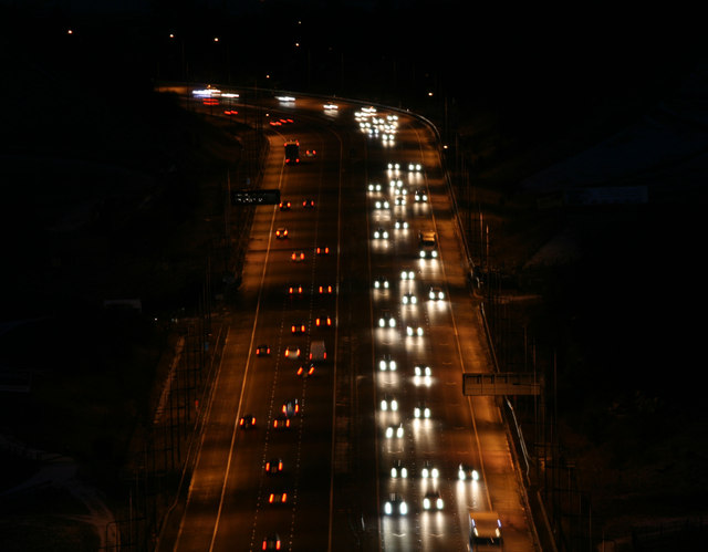
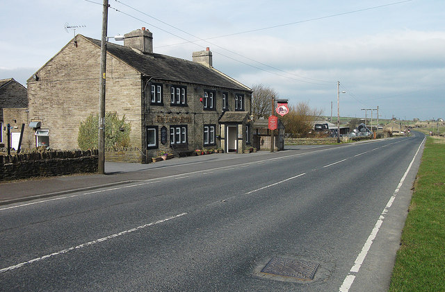
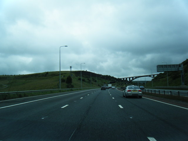
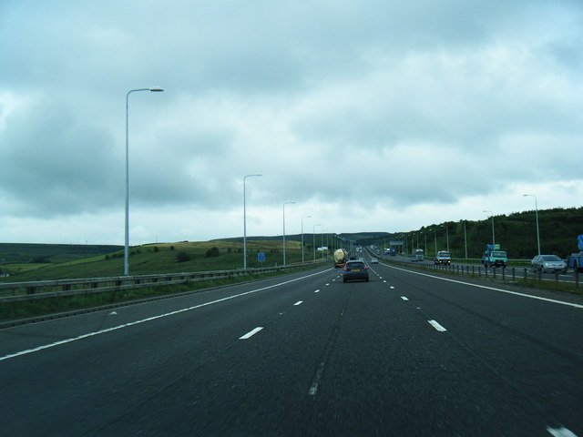
Banquet House Clough Images
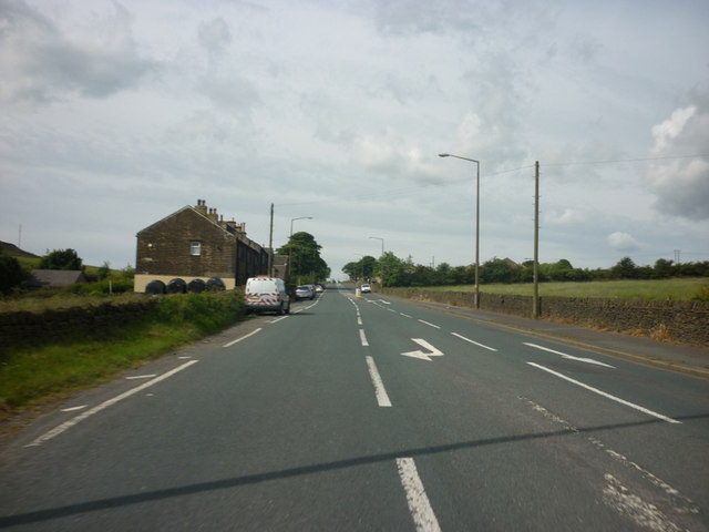
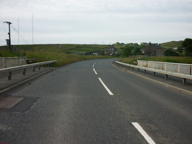
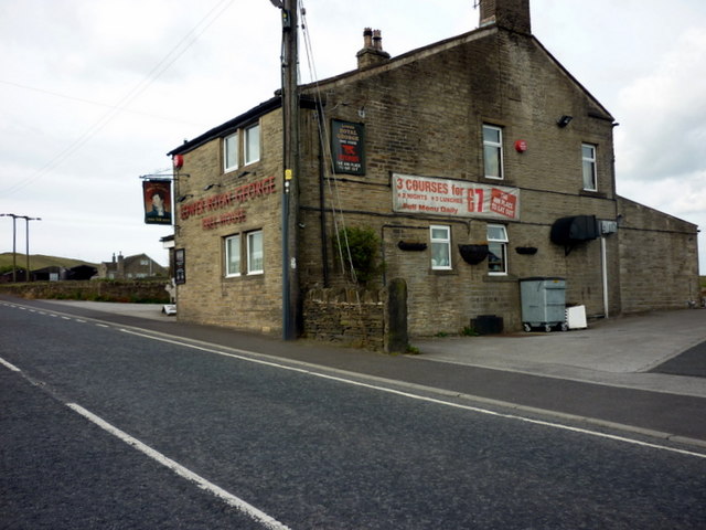
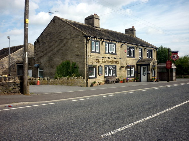
Images are sourced within 2km of 53.655728/-1.9136572 or Grid Reference SE0517. Thanks to Geograph Open Source API. All images are credited.
Banquet House Clough is located at Grid Ref: SE0517 (Lat: 53.655728, Lng: -1.9136572)
Division: West Riding
Unitary Authority: Calderdale
Police Authority: West Yorkshire
What 3 Words
///flamed.bathtubs.mistaken. Near Barkisland, West Yorkshire
Nearby Locations
Related Wikis
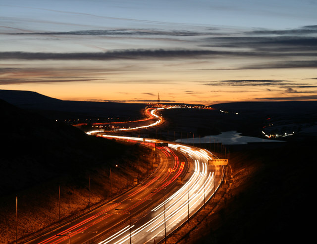
Scammonden
Scammonden or Dean Head was a village close to Huddersfield, in the Dean Head Valley, England, before the valley was flooded to create Scammonden Reservoir...

Black Brook, West Yorkshire
The Black Brook is a small river in Calderdale, West Yorkshire, England. The Black Brook rises near the border of Calderdale and Kirklees next to Scammonden...

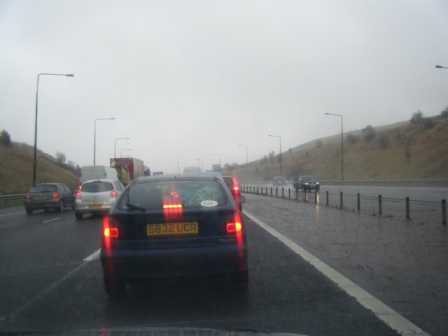
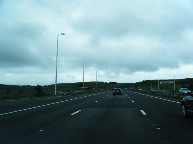
Scammonden Bridge
Scammonden Bridge, also known locally as the Brown Cow Bridge (after the nearby Brown Cow Inn, now closed), spans the Deanhead cutting carrying the B6114...
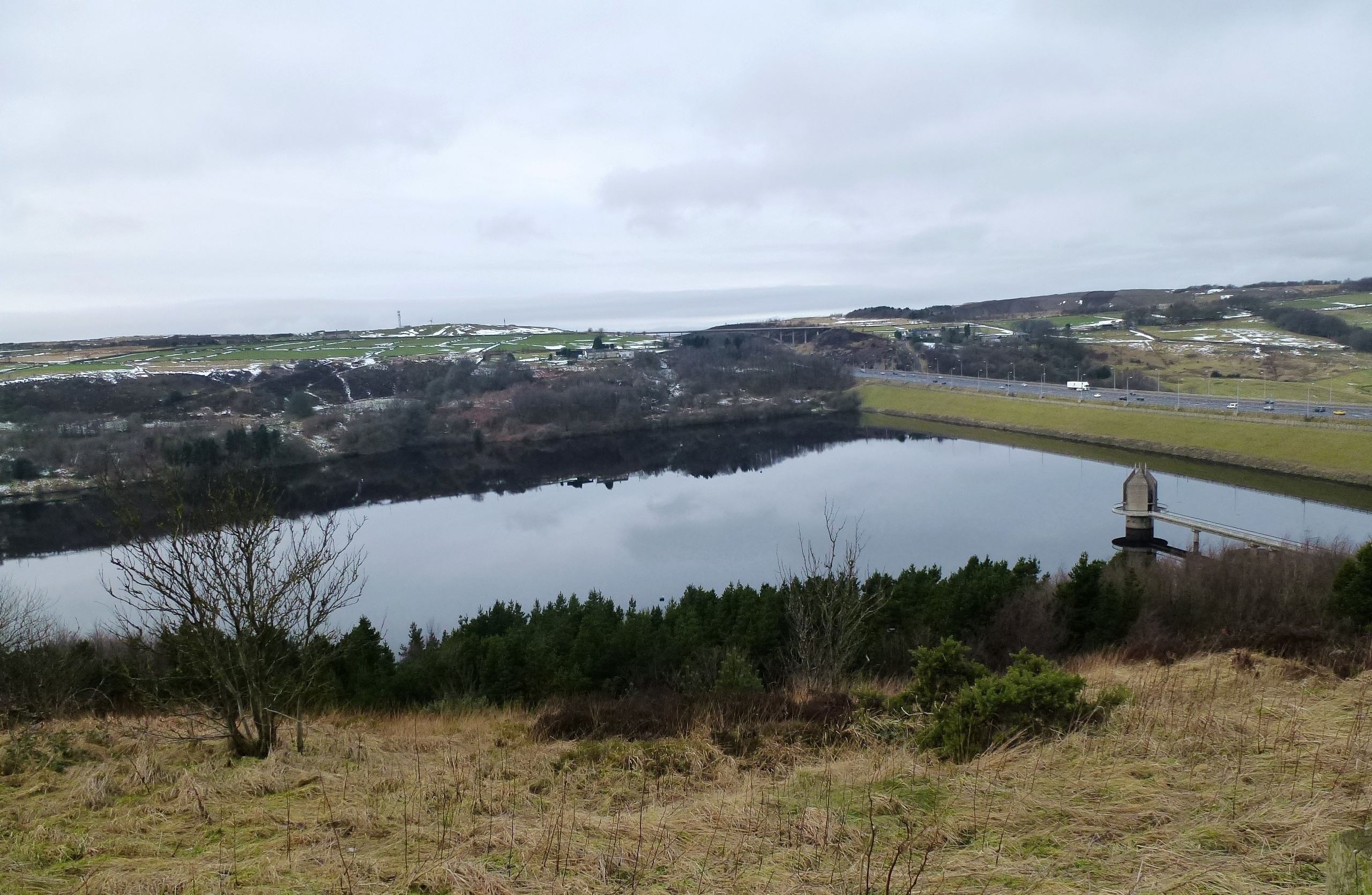
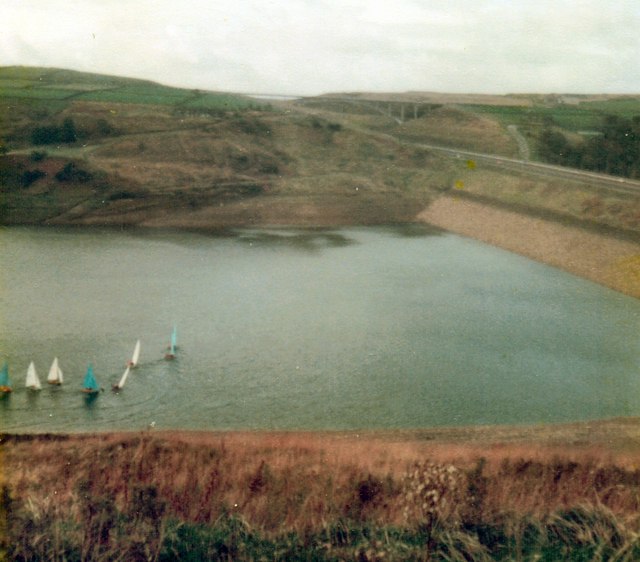
Scammonden Reservoir
Scammonden Reservoir is a water reservoir in West Yorkshire, England. Its water surface area when full is 42 hectares (0.16 sq mi). The level of the bellmouth...
Nearby Amenities
Located within 500m of 53.655728,-1.9136572Have you been to Banquet House Clough?
Leave your review of Banquet House Clough below (or comments, questions and feedback).