Meg Dike
Heritage Site in Yorkshire
England
Meg Dike

Meg Dike is a historically significant heritage site located in Yorkshire, England. This ancient earthwork, also known as a dyke, stretches across the landscape for approximately 2 miles, making it one of the longest and most impressive examples of its kind in the region.
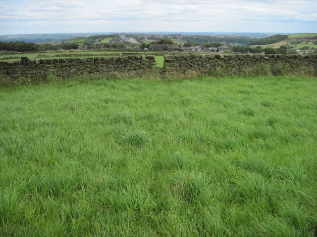
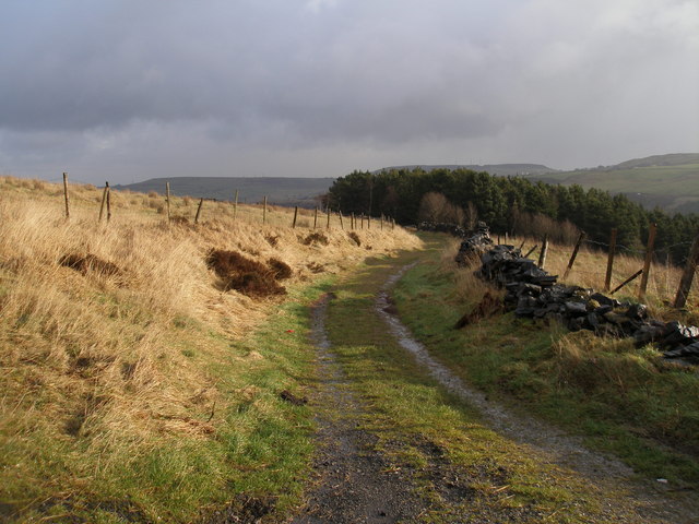
Believed to have been constructed during the Iron Age, Meg Dike served as a defensive structure, protecting the inhabitants of the surrounding settlements from potential threats. The earthwork consists of a deep ditch, or trench, accompanied by a high bank on the outer side. The ditch was likely filled with water in order to enhance its defensive capabilities. Today, the ditch remains clearly visible, although the bank has eroded to some extent over the centuries.
Meg Dike's strategic location on a ridge offers commanding views of the surrounding countryside, making it an ideal spot for surveillance and communication. This suggests that the dyke played a key role in the early inhabitants' defensive and territorial strategies.
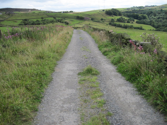
Visitors to Meg Dike can explore the site's impressive earthwork, walking along the path that follows the bank and admiring the scale of the construction. The site offers a unique opportunity to experience the remnants of ancient engineering and to gain insight into the defensive tactics employed by Iron Age communities.
Meg Dike is of significant historical and archaeological importance, providing valuable evidence of the region's past. Its preservation and accessibility enable visitors to connect with the ancient landscape and appreciate the ingenuity and resourcefulness of our ancestors.
If you have any feedback on the listing, please let us know in the comments section below.
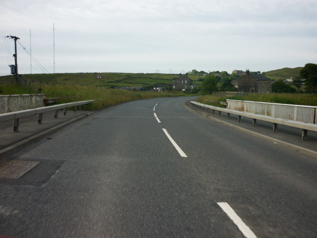
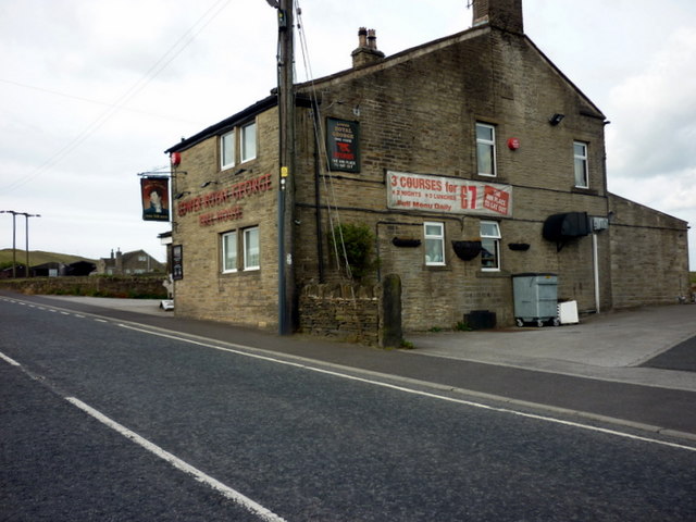
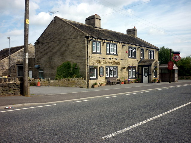
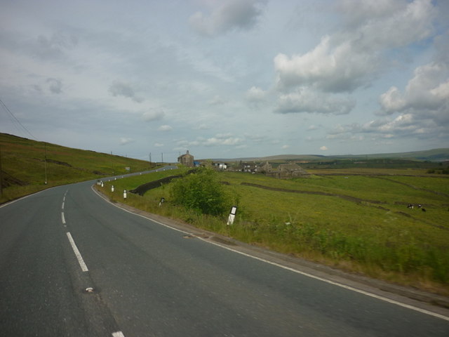
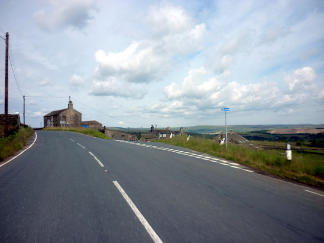
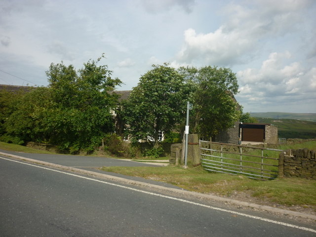
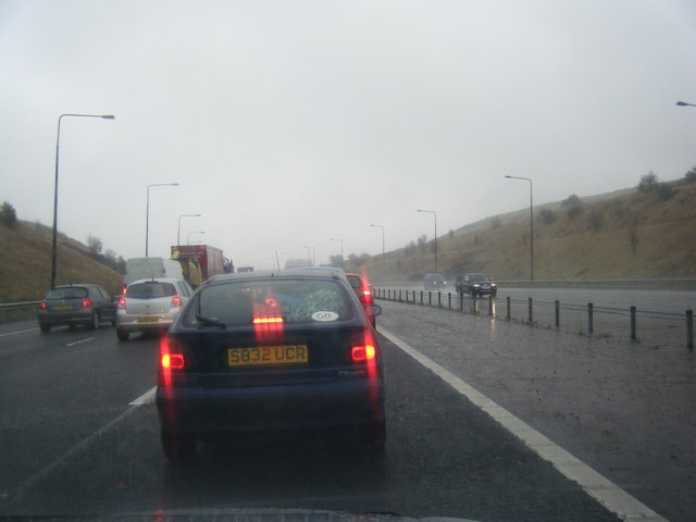
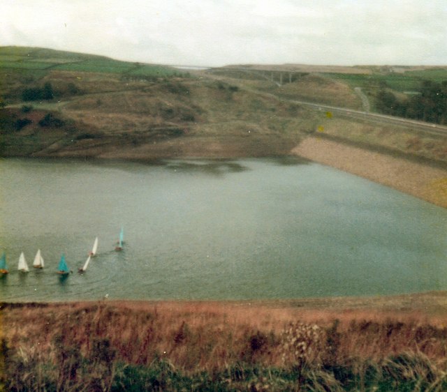
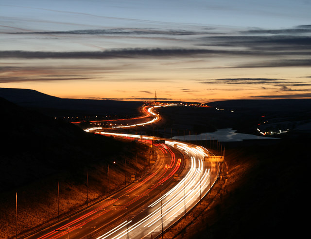
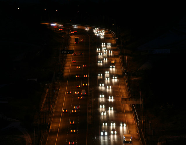
Meg Dike Images
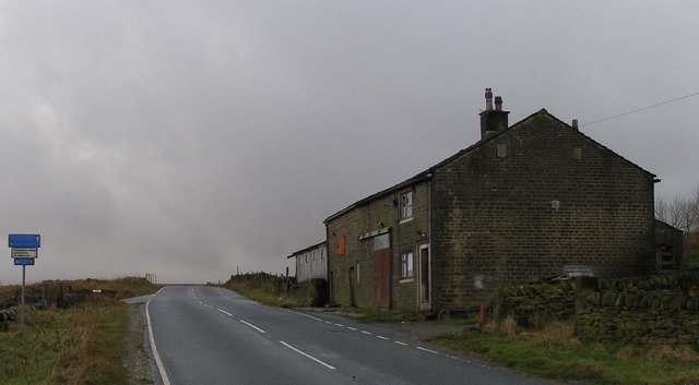
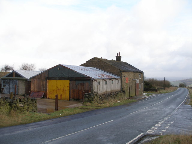
Images are sourced within 2km of 53.653/-1.917 or Grid Reference SE0517. Thanks to Geograph Open Source API. All images are credited.
Meg Dike is located at Grid Ref: SE0517 (Lat: 53.653, Lng: -1.917)
Division: West Riding
Unitary Authority: Calderdale
Police Authority: West Yorkshire
What 3 Words
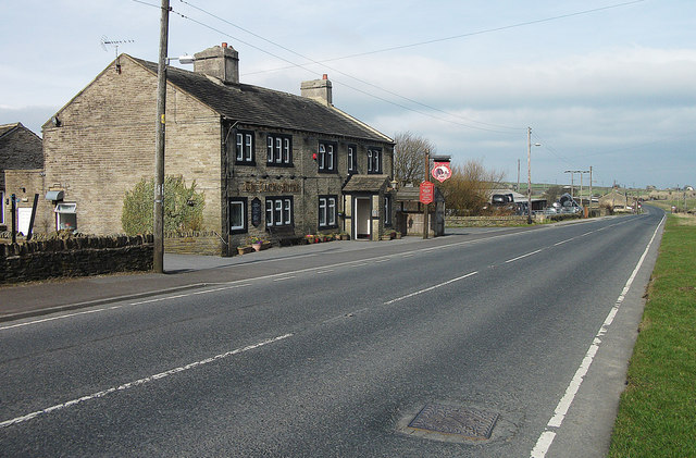
///paths.arrive.stance. Near Barkisland, West Yorkshire
Nearby Locations
Related Wikis
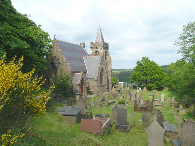
Scammonden
Scammonden or Dean Head was a village close to Huddersfield, in the Dean Head Valley, England, before the valley was flooded to create Scammonden Reservoir...

Scammonden Bridge
Scammonden Bridge, also known locally as the Brown Cow Bridge (after the nearby Brown Cow Inn, now closed), spans the Deanhead cutting carrying the B6114...
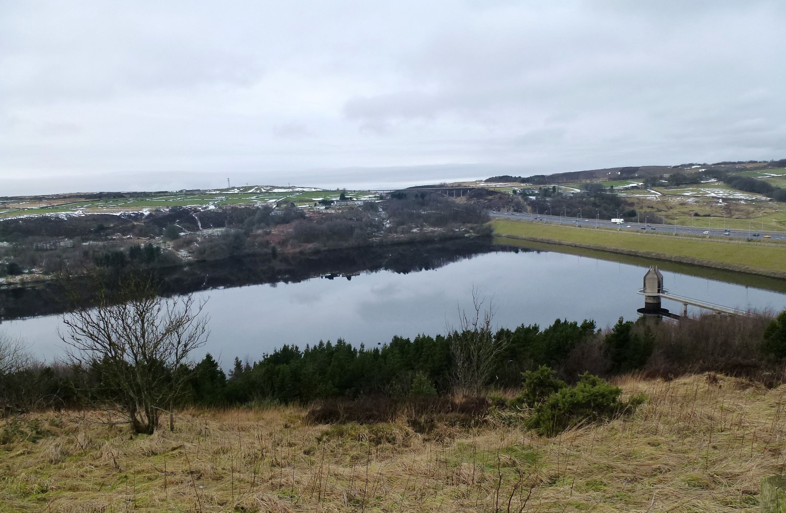
Scammonden Reservoir
Scammonden Reservoir is a water reservoir in West Yorkshire, England. Its water surface area when full is 42 hectares (0.16 sq mi). The level of the bellmouth...

Black Brook, West Yorkshire
The Black Brook is a small river in Calderdale, West Yorkshire, England. The Black Brook rises near the border of Calderdale and Kirklees next to Scammonden...
Related Videos

Walking the Rishworth Branch -Part 2
In todays video we continue our explore of the old Lancashire and Yorkshire Railways Rishworth branch . Come with us on our ...
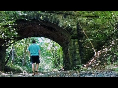
Walking the Abandoned Rishworth Branch Railway Line. Sowerby Bridge.
Built in 1878, the Rishworth Branch Railway Line used to run between Sowerby Bridge and conclude in Rishworth. There were ...

Scammonden Reservoir - West Yorkshire
This was one of a few walks filmed before the current lockdown.) We've been to Scammond before, so the area is not knew to us.
A secret campsite in Rishworth - 22nd August 2023.
Secret campsite, Rishworth.
Nearby Amenities
Located within 500m of 53.653,-1.917Have you been to Meg Dike?
Leave your review of Meg Dike below (or comments, questions and feedback).