Hey House Clough
Valley in Yorkshire
England
Hey House Clough

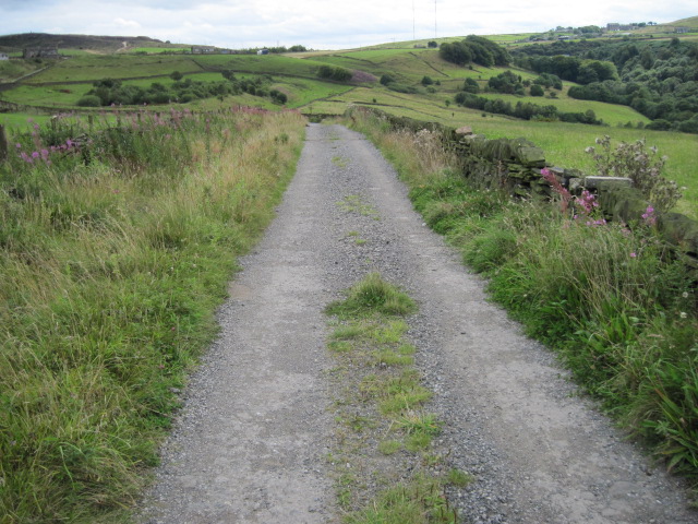
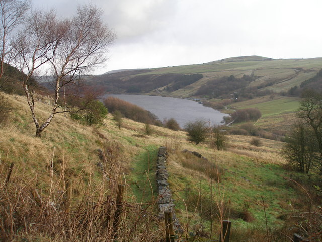
Hey House Clough is a picturesque valley located in Yorkshire, England. Nestled amidst the rolling hills and lush greenery, this stunning landscape is a haven for nature lovers and outdoor enthusiasts. The valley is situated in the heart of the Yorkshire Dales National Park, renowned for its stunning scenery and diverse wildlife.
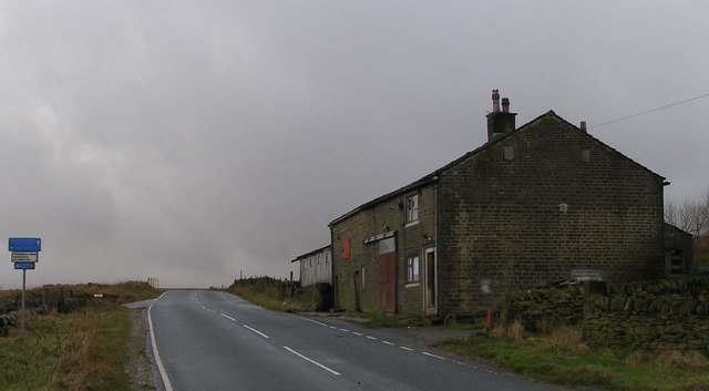
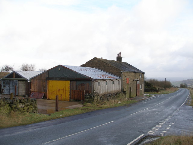
Hey House Clough boasts a tranquil and serene atmosphere, offering visitors a chance to escape the hustle and bustle of city life. The valley is characterized by its steep cliffs, cascading waterfalls, and meandering streams, creating a breathtaking sight at every turn. The surrounding countryside is dotted with charming stone-built cottages and traditional farmhouses, adding to the area's rustic charm.
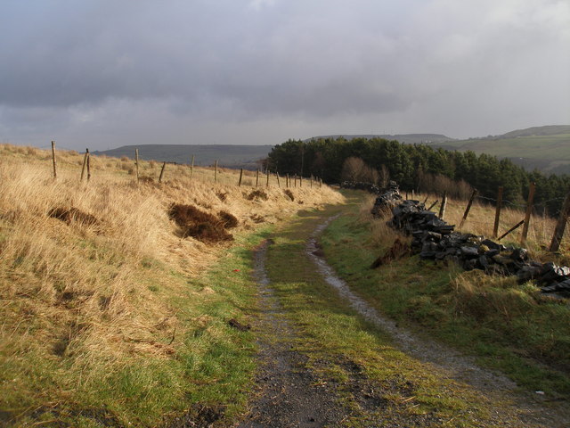
Nature enthusiasts can explore a plethora of walking trails within Hey House Clough, ranging from leisurely strolls to more challenging hikes. The valley is home to a rich variety of flora and fauna, including rare species of birds, wildflowers, and ancient trees. The babbling brooks and gushing waterfalls provide a soothing soundtrack as visitors immerse themselves in the peaceful ambiance of the valley.
For those seeking adventure, Hey House Clough offers opportunities for rock climbing and abseiling, as well as fishing in the nearby River Wharfe. The valley is also a popular spot for picnicking and photography, with numerous scenic viewpoints offering panoramic vistas of the surrounding countryside.
Overall, Hey House Clough is a natural gem in the heart of Yorkshire, captivating visitors with its breathtaking beauty and tranquil ambiance. Whether it's a leisurely walk, an adrenaline-pumping adventure, or simply a moment of peace in nature, this valley has something to offer for everyone.
If you have any feedback on the listing, please let us know in the comments section below.
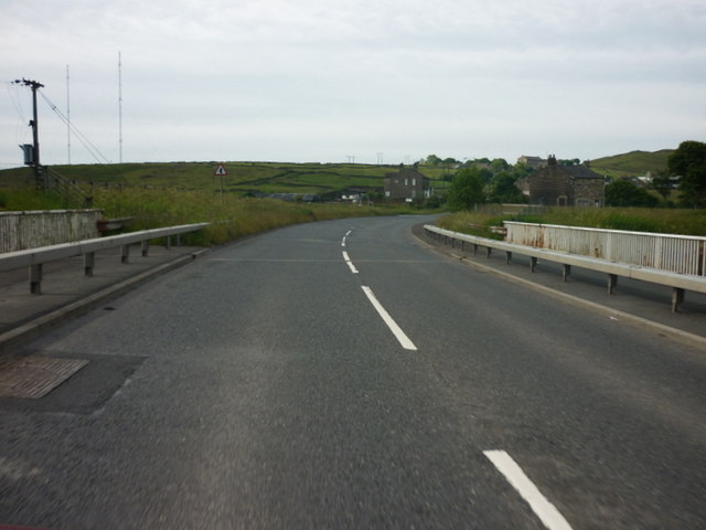
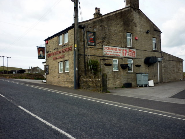
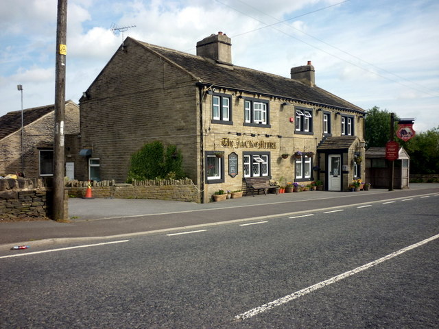
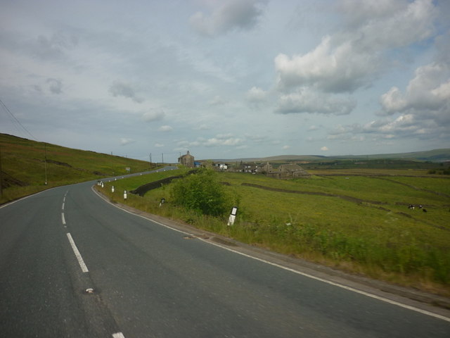
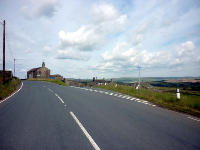
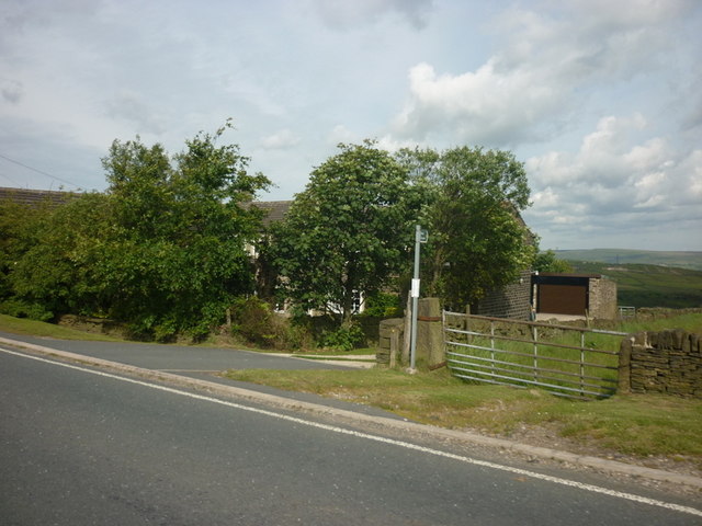
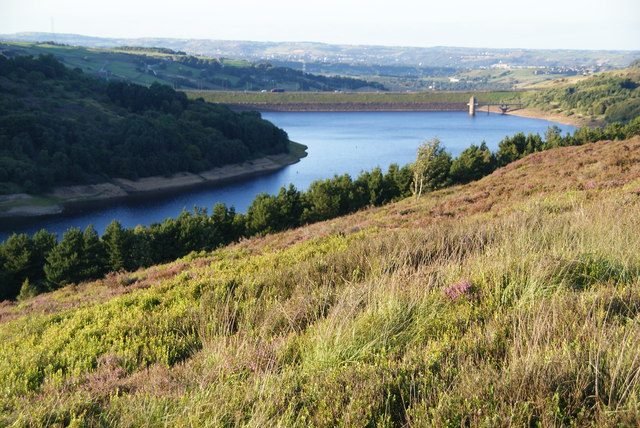
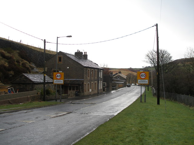
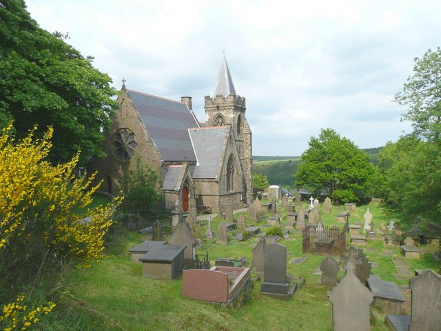
Hey House Clough Images
Images are sourced within 2km of 53.650817/-1.9228807 or Grid Reference SE0517. Thanks to Geograph Open Source API. All images are credited.
Hey House Clough is located at Grid Ref: SE0517 (Lat: 53.650817, Lng: -1.9228807)
Division: West Riding
Unitary Authority: Calderdale
Police Authority: West Yorkshire
What 3 Words
///local.promising.fists. Near Barkisland, West Yorkshire
Nearby Locations
Related Wikis

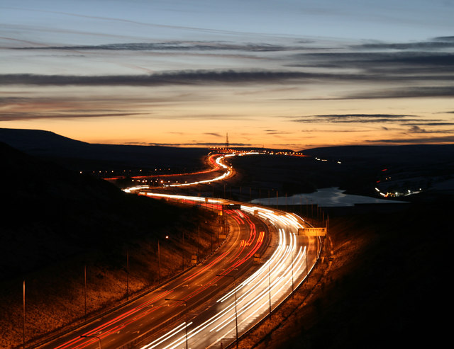
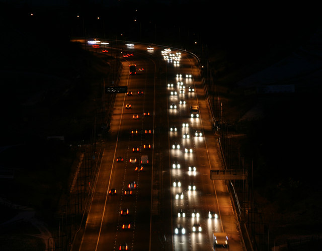
Scammonden Bridge
Scammonden Bridge, also known locally as the Brown Cow Bridge (after the nearby Brown Cow Inn, now closed), spans the Deanhead cutting carrying the B6114...
Scammonden
Scammonden or Dean Head was a village close to Huddersfield, in the Dean Head Valley, England, before the valley was flooded to create Scammonden Reservoir...
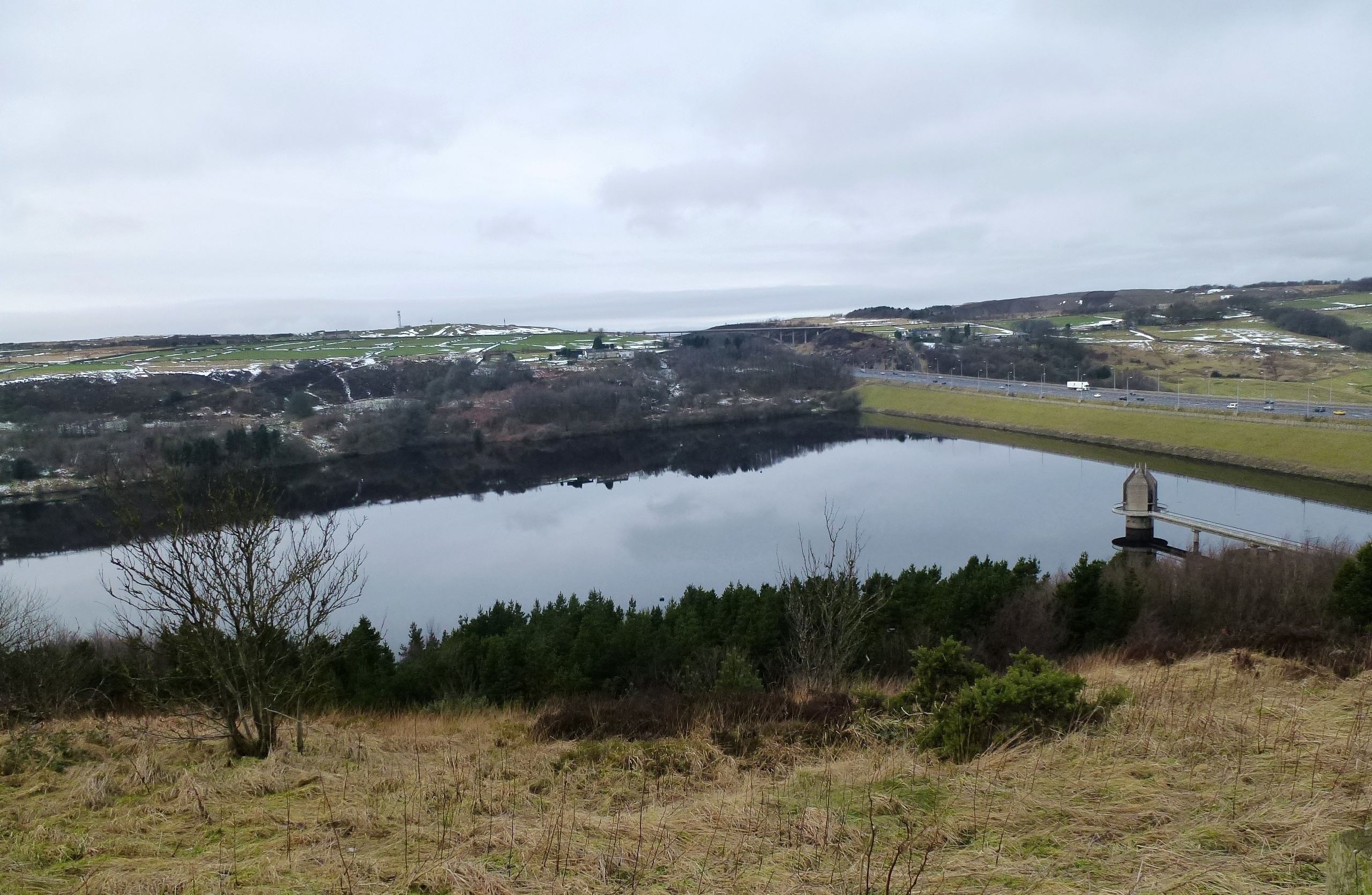
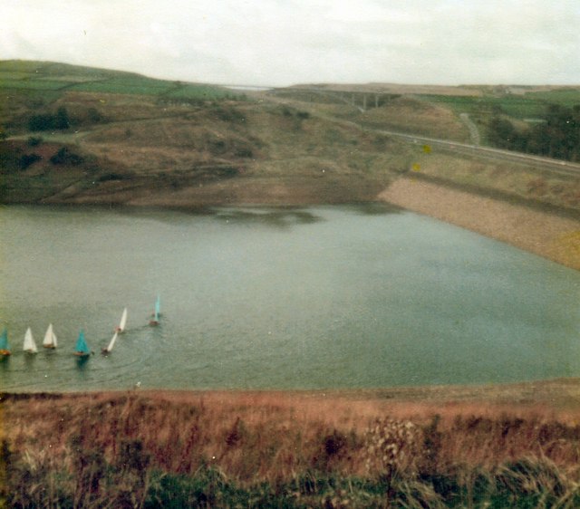
Scammonden Reservoir
Scammonden Reservoir is a water reservoir in West Yorkshire, England. Its water surface area when full is 42 hectares (0.16 sq mi). The level of the bellmouth...

Black Brook, West Yorkshire
The Black Brook is a small river in Calderdale, West Yorkshire, England. The Black Brook rises near the border of Calderdale and Kirklees next to Scammonden...
Nearby Amenities
Located within 500m of 53.650817,-1.9228807Have you been to Hey House Clough?
Leave your review of Hey House Clough below (or comments, questions and feedback).