Blackshaw Clough
Valley in Derbyshire High Peak
England
Blackshaw Clough

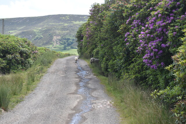
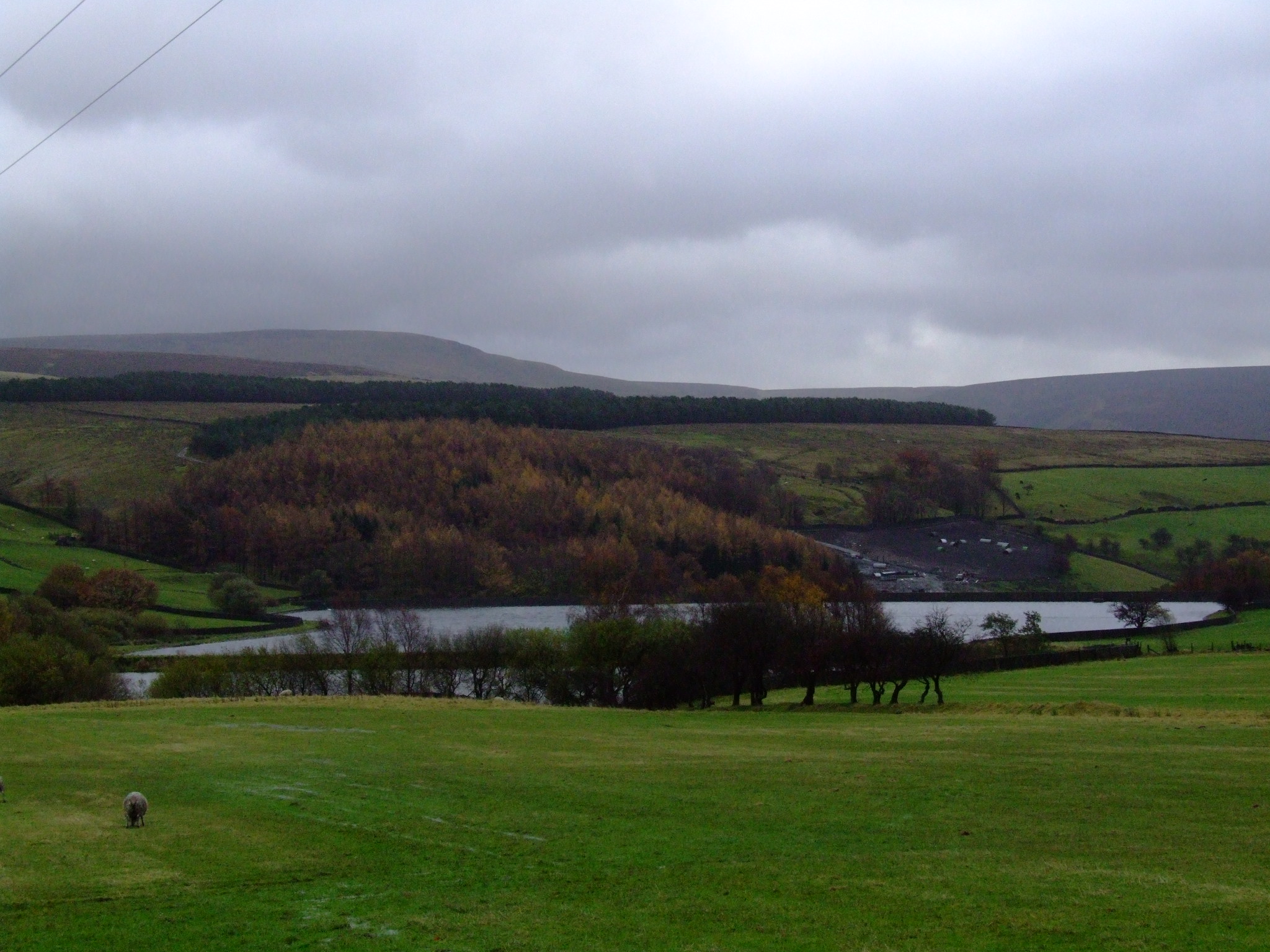
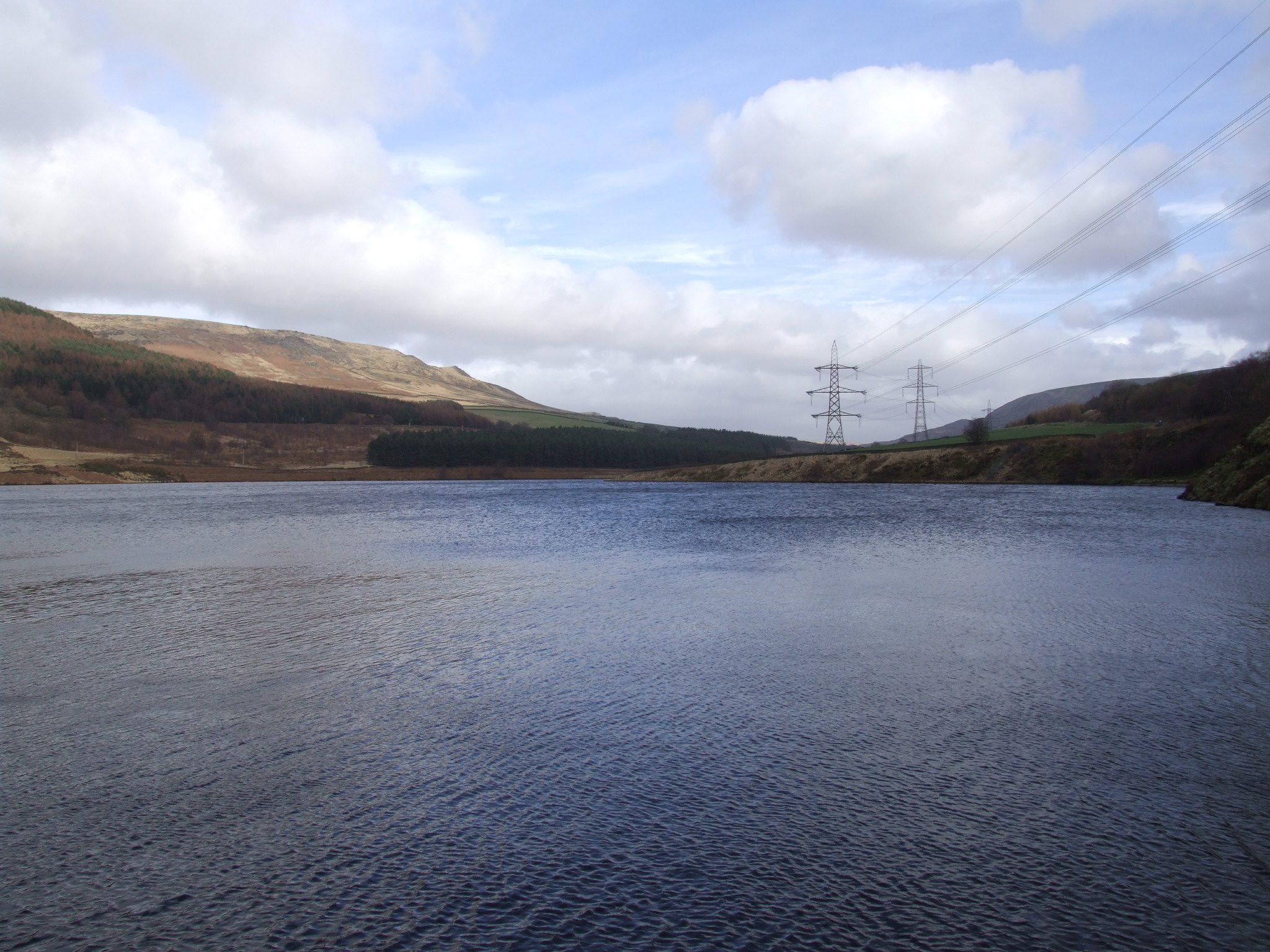
Blackshaw Clough is a picturesque valley located in Derbyshire, England. It is nestled within the stunning Peak District National Park, renowned for its natural beauty and diverse landscapes. The valley is situated near the village of Blackshaw Moor and is encompassed by rolling hills, lush green meadows, and dense woodlands.
The Clough is characterized by its tranquil atmosphere and breathtaking scenery. It is traversed by a small stream that meanders through the valley, adding to its charm. The stream is flanked by moss-covered rocks and is adorned with vibrant wildflowers during the spring and summer months.
The valley is a haven for nature enthusiasts and offers a range of walking and hiking trails. These trails allow visitors to explore the area's rich biodiversity, including various species of birds, small mammals, and plant life. The Clough is particularly popular during the autumn season when the foliage transforms into a kaleidoscope of vibrant colors.
Blackshaw Clough is also home to several ancient archaeological sites, including Neolithic burial mounds and stone circles. These historical landmarks provide a glimpse into the area's past and add a layer of intrigue to the valley.
In addition to its natural and historical significance, Blackshaw Clough offers a peaceful retreat for those seeking a break from the hustle and bustle of city life. Its unspoiled beauty and tranquil ambiance make it the perfect destination for a relaxing day trip or a weekend getaway.
If you have any feedback on the listing, please let us know in the comments section below.
Blackshaw Clough Images
Images are sourced within 2km of 53.462754/-1.9224225 or Grid Reference SK0596. Thanks to Geograph Open Source API. All images are credited.


Blackshaw Clough is located at Grid Ref: SK0596 (Lat: 53.462754, Lng: -1.9224225)
Administrative County: Derbyshire
District: High Peak
Police Authority: Derbyshire
What 3 Words
///wriggled.kinds.cunning. Near Glossop, Derbyshire
Nearby Locations
Related Wikis
Swineshaw Reservoir (Derbyshire)
For the reservoirs near Stalybridge, in Tameside, Greater Manchester, see Higher Swineshaw Reservoir and Lower Swineshaw Reservoir Swineshaw Reservoir...

Shire Hill Hospital
Shire Hill Hospital was a healthcare facility in Bute Street, Glossop, Derbyshire, England. It was managed by Tameside and Glossop Integrated Care NHS...

Mossy Lea Reservoir
Mossy Lea Reservoir is a disused reservoir near Glossop, north Derbyshire. In 1837, 50 local millowners and gentlemen, known as the "Glossop Commissioners...
All Saints' Church, Glossop
All Saints’ Church, Glossop, is a Grade II listed parish church in the Church of England: 218 in Glossop, Derbyshire, England. == History == The first...

Longdendale Trail
The Longdendale Trail is an English long-distance rail trail following the former Woodhead railway line, which ran between Manchester and Sheffield and...
Rhodeswood Reservoir
Rhodeswood Reservoir is a man-made lake in Longdendale in north Derbyshire, England. It was constructed by John Frederick Bateman between 1849 and June...

Manor Park, Glossop
Manor Park is a city park in Glossop, Derbyshire, England. == History == The park was originally part of the now demolished Glossop Hall, formerly called...
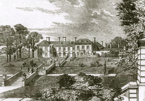
Glossop Hall
Glossop Hall was the last residential building on the site of Royle Hall in Glossop, Derbyshire. It was located south of Old Glossop at the heart of Glossop...
Nearby Amenities
Located within 500m of 53.462754,-1.9224225Have you been to Blackshaw Clough?
Leave your review of Blackshaw Clough below (or comments, questions and feedback).