Black Crag Moss
Downs, Moorland in Yorkshire Craven
England
Black Crag Moss

Black Crag Moss is a picturesque area located in the Yorkshire Dales, Yorkshire, England. Nestled amidst the rolling hills and expansive moorland of the region, this mossy landscape offers a captivating natural beauty that attracts visitors from near and far.
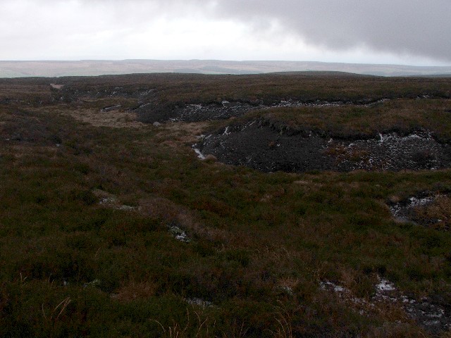
Covering an area of approximately 500 acres, Black Crag Moss is characterized by its vast stretches of peat bogs, heather-covered hills, and scattered rocky outcrops. The moss is encompassed by the rugged beauty of the Yorkshire Downs, providing a stunning backdrop to the scenery.
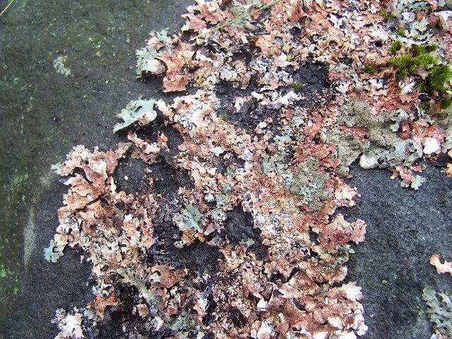
The area is renowned for its unique biodiversity. Dotted throughout the moss are various species of flora and fauna that thrive in this damp and acidic environment. Visitors can spot rare plants such as sphagnum moss, bog rosemary, and heather, as well as a variety of insect life and bird species, including curlew and lapwing.
Black Crag Moss is also steeped in history. Evidence of ancient settlements and burial mounds can be found in the surrounding moorland, offering glimpses into Yorkshire's rich past. The moss has been used for centuries as a source of peat, and remnants of peat cutting can still be seen in certain areas.
For outdoor enthusiasts, Black Crag Moss offers an array of activities. Hiking and walking trails crisscross the landscape, allowing visitors to explore the moss and take in the breathtaking views. The area is also popular for birdwatching, photography, and nature observation.
Overall, Black Crag Moss is a captivating destination that showcases the raw beauty and rich natural heritage of Yorkshire's downs and moorland.
If you have any feedback on the listing, please let us know in the comments section below.
Black Crag Moss Images
Images are sourced within 2km of 54.098116/-1.911016 or Grid Reference SE0566. Thanks to Geograph Open Source API. All images are credited.


Black Crag Moss is located at Grid Ref: SE0566 (Lat: 54.098116, Lng: -1.911016)
Division: West Riding
Administrative County: North Yorkshire
District: Craven
Police Authority: North Yorkshire
What 3 Words
///ranked.compacts.plates. Near Grassington, North Yorkshire
Nearby Locations
Related Wikis
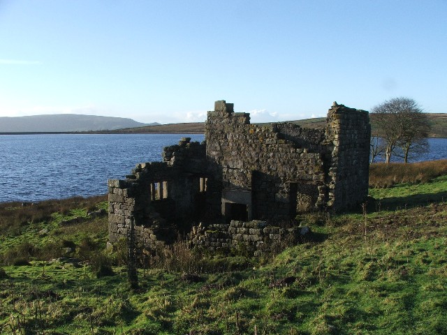
Grimwith Reservoir
Grimwith Reservoir is located in the Yorkshire Dales in North Yorkshire, England. It was originally built by the Bradford Corporation as one of eleven...

Meugher
Meugher (/ˈmuː.fər/) is a hill in the Yorkshire Dales, England. It lies in remote country between Wharfedale and Nidderdale, in the parish of Stonebeck...
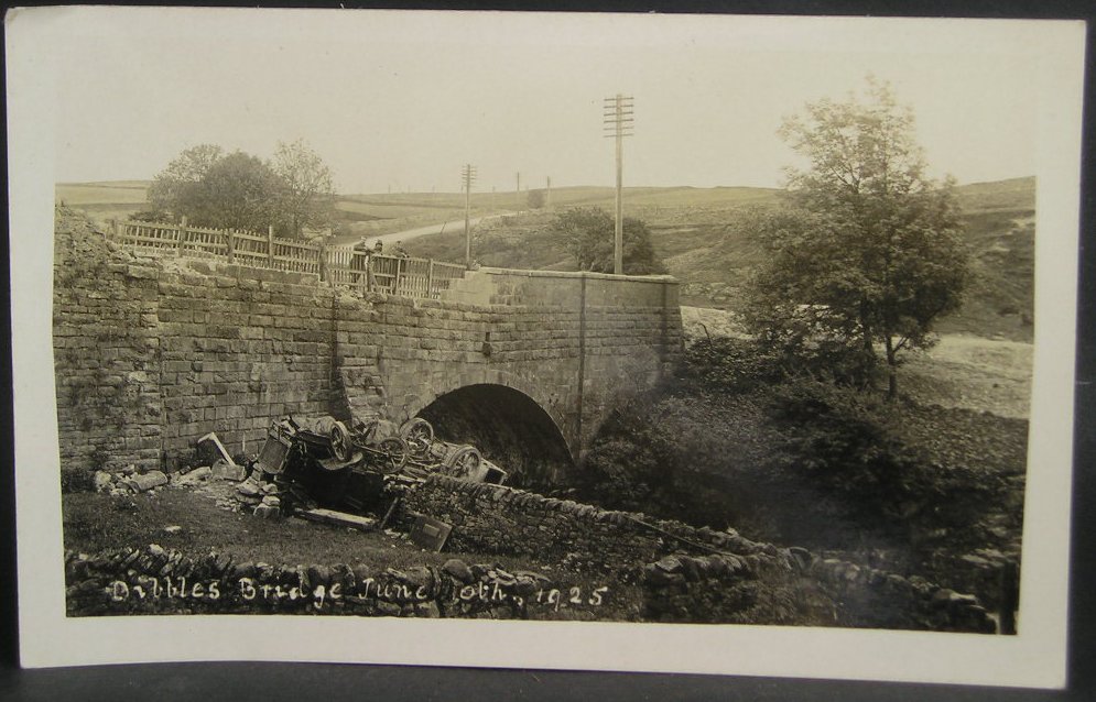
1925 Dibbles Bridge coach crash
On 10 June 1925, a coach crashed at the bottom of a steep hill at Dibbles Bridge, near Hebden in North Yorkshire, England. Seven people were killed and...

1975 Dibbles Bridge coach crash
On 27 May 1975, a coach carrying elderly passengers crashed at the bottom of a steep hill at Dibble's Bridge, near Hebden in North Yorkshire, England....

Priest's Tarn
Priest's Tarn is an upland lake on Grassington Moor, in North Yorkshire, England. The water from Priest's Tarn was historically used for hydraulic mining...

Stump Cross Caverns
Stump Cross Caverns is a limestone cave system between Wharfedale and Nidderdale in North Yorkshire, England. == Geography == The caverns at Stump Cross...
Stonebeck Down
Stonebeck Down is a civil parish in Harrogate district, North Yorkshire, England. The main settlements in the parish are the village of Ramsgill and the...
Hebden, North Yorkshire
Hebden ( HEB-dərn) is a village and civil parish in the Craven District of North Yorkshire, England, and one of four villages in the ecclesiastical parish...
Nearby Amenities
Located within 500m of 54.098116,-1.911016Have you been to Black Crag Moss?
Leave your review of Black Crag Moss below (or comments, questions and feedback).