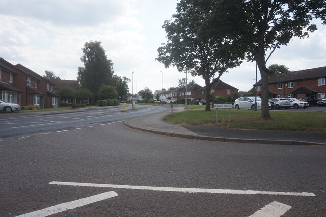
Walker's Heath
Downs, Moorland in Worcestershire Bromsgrove
England
Walker's Heath

Walker's Heath is a village located in the county of Worcestershire, England. Situated on the outskirts of Birmingham, it lies within the larger metropolitan borough of Bromsgrove. The village is primarily known for its picturesque downs and moorland, which provide a stunning natural backdrop to the area.
The downs in Walker's Heath offer expansive views of the surrounding countryside, with rolling hills and green pastures stretching as far as the eye can see. These open spaces are perfect for leisurely walks, picnics, or even outdoor sports. The moorland, on the other hand, is characterized by its rugged terrain, heather-covered hills, and numerous natural springs.
The village itself is a close-knit community, with a population of around 1,500 residents. It boasts a range of amenities, including a local pub, a primary school, and a small grocery store. The village also benefits from excellent transport links, with regular bus services connecting it to nearby towns and cities.
Nature lovers are particularly drawn to Walker's Heath due to its proximity to the Lickey Hills Country Park, a designated Area of Outstanding Natural Beauty. The park offers extensive walking trails, cycling routes, and even a golf course, providing ample opportunities for outdoor recreation.
Overall, Walker's Heath in Worcestershire is a charming village that combines the tranquility of the downs and moorland with convenient access to nearby urban areas. Its natural beauty and community spirit make it an attractive place to live or visit for those seeking a peaceful retreat.
If you have any feedback on the listing, please let us know in the comments section below.
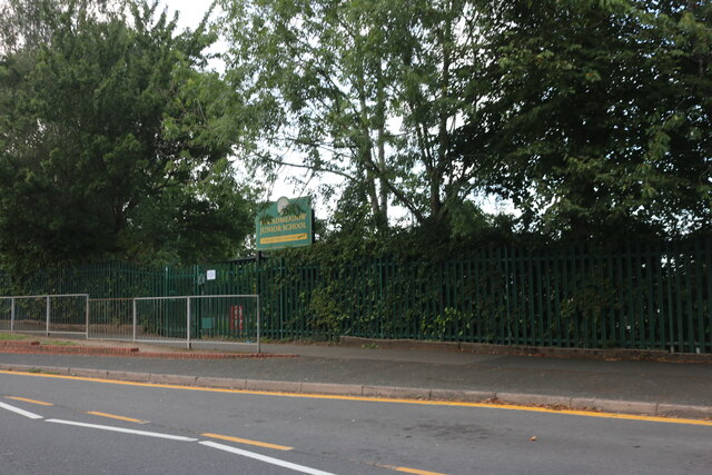
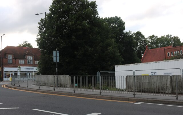
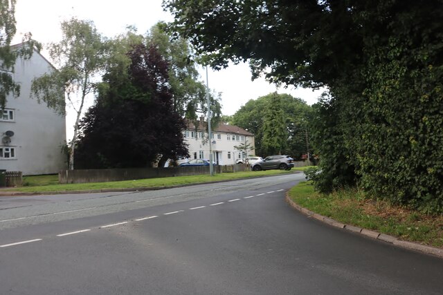
Walker's Heath Images
Images are sourced within 2km of 52.403364/-1.9146159 or Grid Reference SP0578. Thanks to Geograph Open Source API. All images are credited.


Walker's Heath is located at Grid Ref: SP0578 (Lat: 52.403364, Lng: -1.9146159)
Administrative County: Worcestershire
District: Bromsgrove
Police Authority: West Mercia
What 3 Words
///sober.pokers.fame. Near Tidbury Green, West Midlands
Nearby Locations
Related Wikis

Walker's Heath
Walker's Heath is a small area spanning the southern border of the city of Birmingham, England (northeastern segment of the Kings Norton South ward) and...

Walkers Heath Park
Walkers Heath Park is a park in Walker's Heath, south-west Birmingham that covers approximately 21 hectares (52 acres) nestled between the estates of Kings...

Kings Norton
Kings Norton, alternatively King's Norton, is an area of Birmingham, England. Historically in Worcestershire, it was also a Birmingham City Council ward...
Battle of Kings Norton
The Battle of Kings Norton was fought on 17 October 1642. The skirmish developed out of a chance encounter between Royalists under the command of Prince...
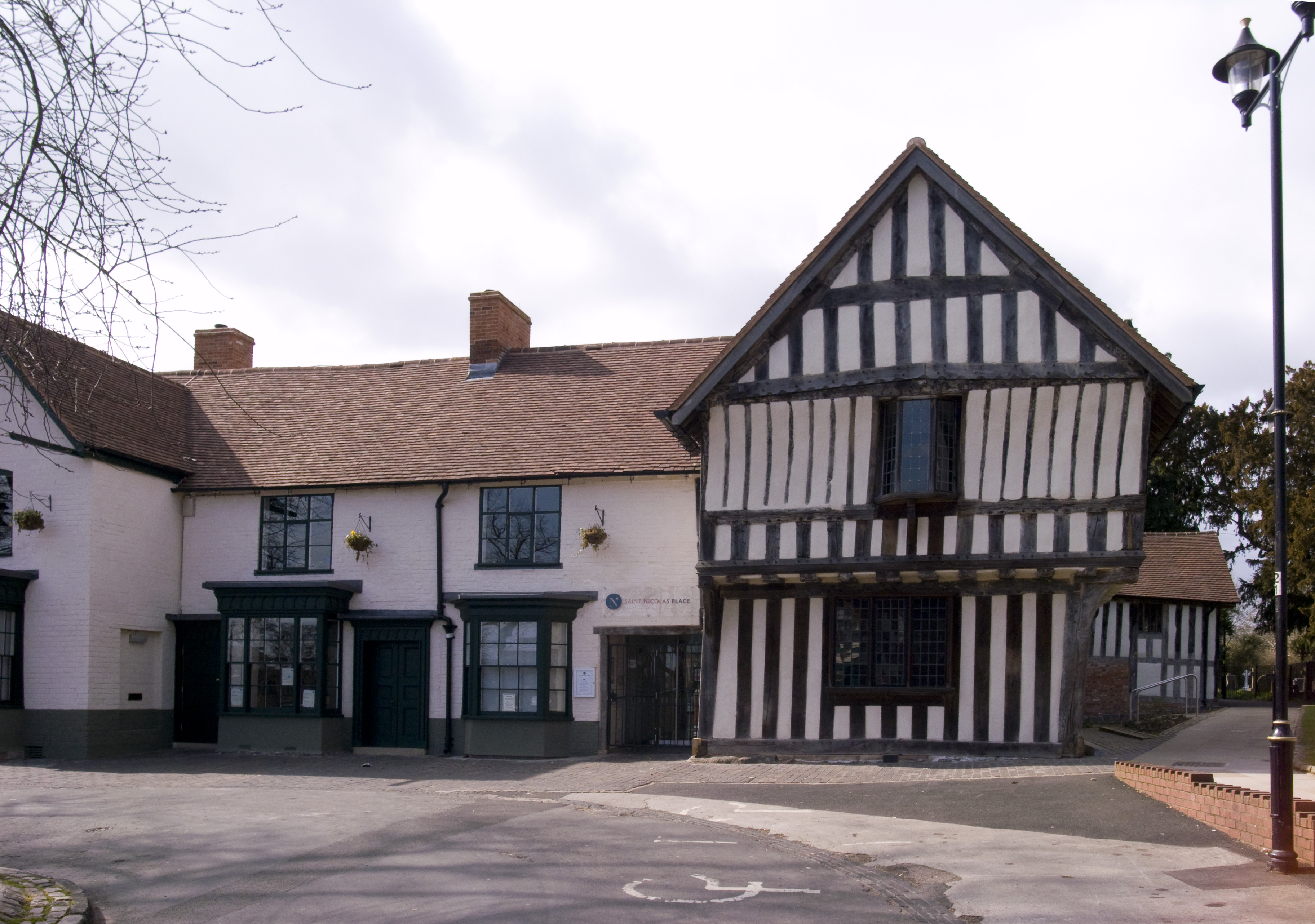
Saracen's Head
The Saracen's Head is the name formerly given to a group of late medieval buildings in Kings Norton, Birmingham. The buildings, together with the nearby...
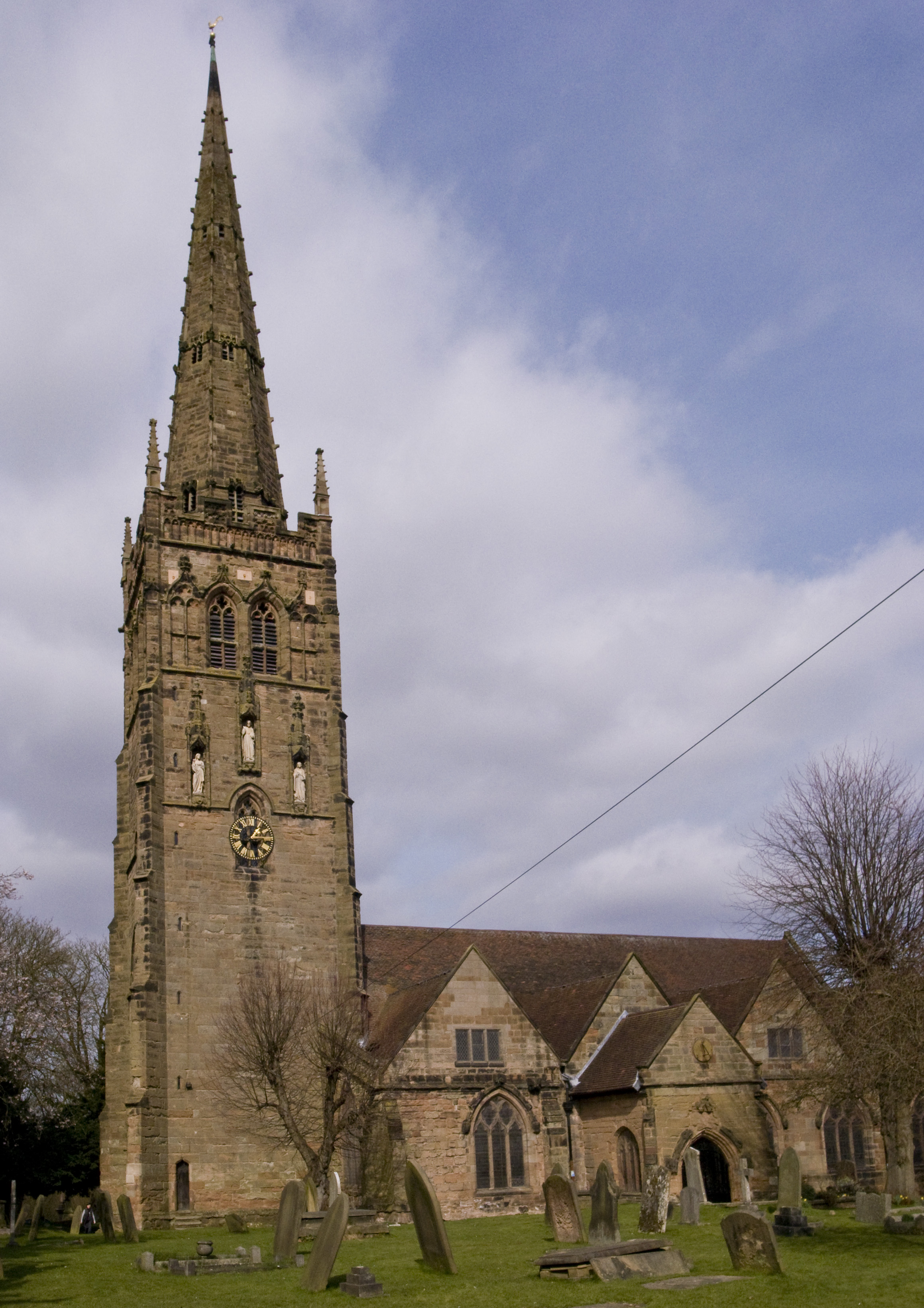
St Nicolas' Church, Kings Norton
St Nicolas' Church, Kings Norton, is the Anglican parish church of Kings Norton, in the Diocese of Birmingham, West Midlands, England. == History == A...
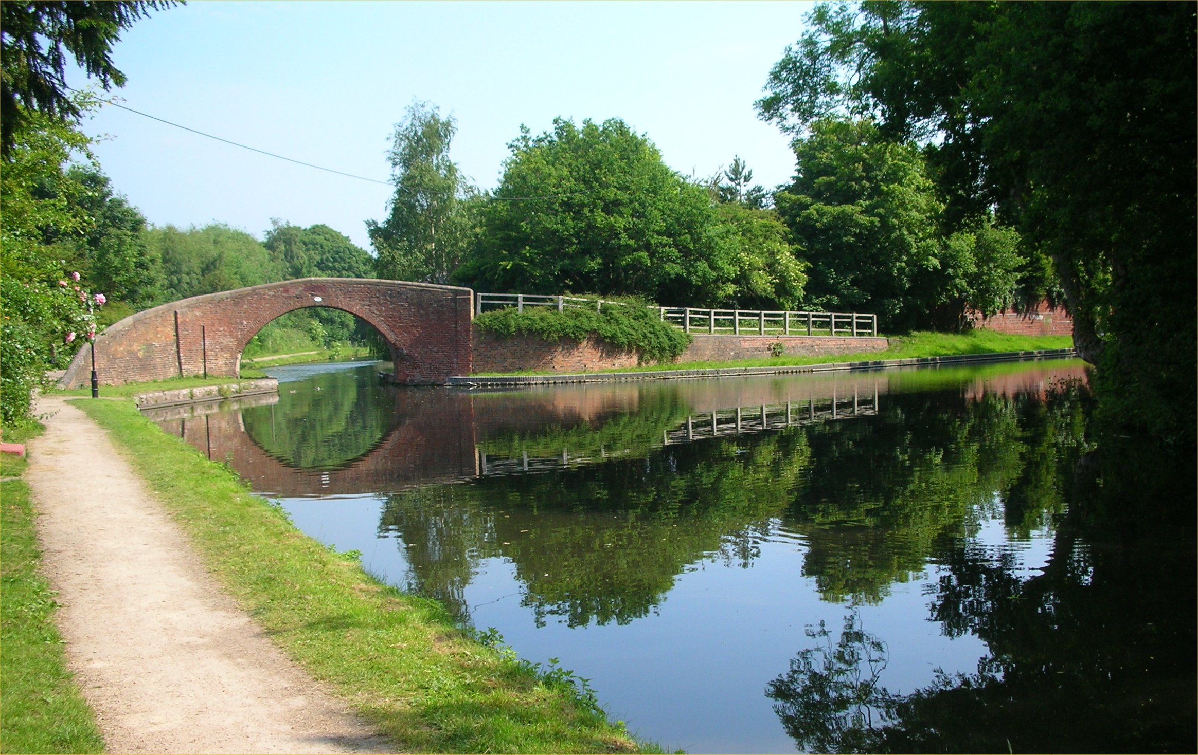
Kings Norton Junction
Kings Norton Junction (grid reference SP052794) is the name of the canal junction where the Stratford-upon-Avon Canal terminates and meets the Worcester...

Kings Norton Stop Lock
Kings Norton Stop Lock (grid reference SP055794) is a Grade II* listed building at Kings Norton Junction on the Stratford-upon-Avon Canal near its junction...
Nearby Amenities
Located within 500m of 52.403364,-1.9146159Have you been to Walker's Heath?
Leave your review of Walker's Heath below (or comments, questions and feedback).