High Allotment
Downs, Moorland in Durham
England
High Allotment

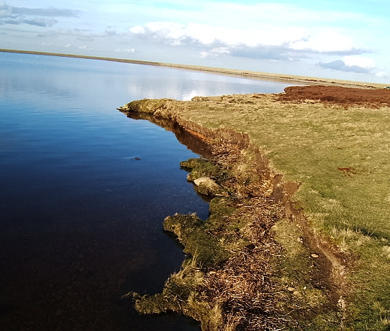
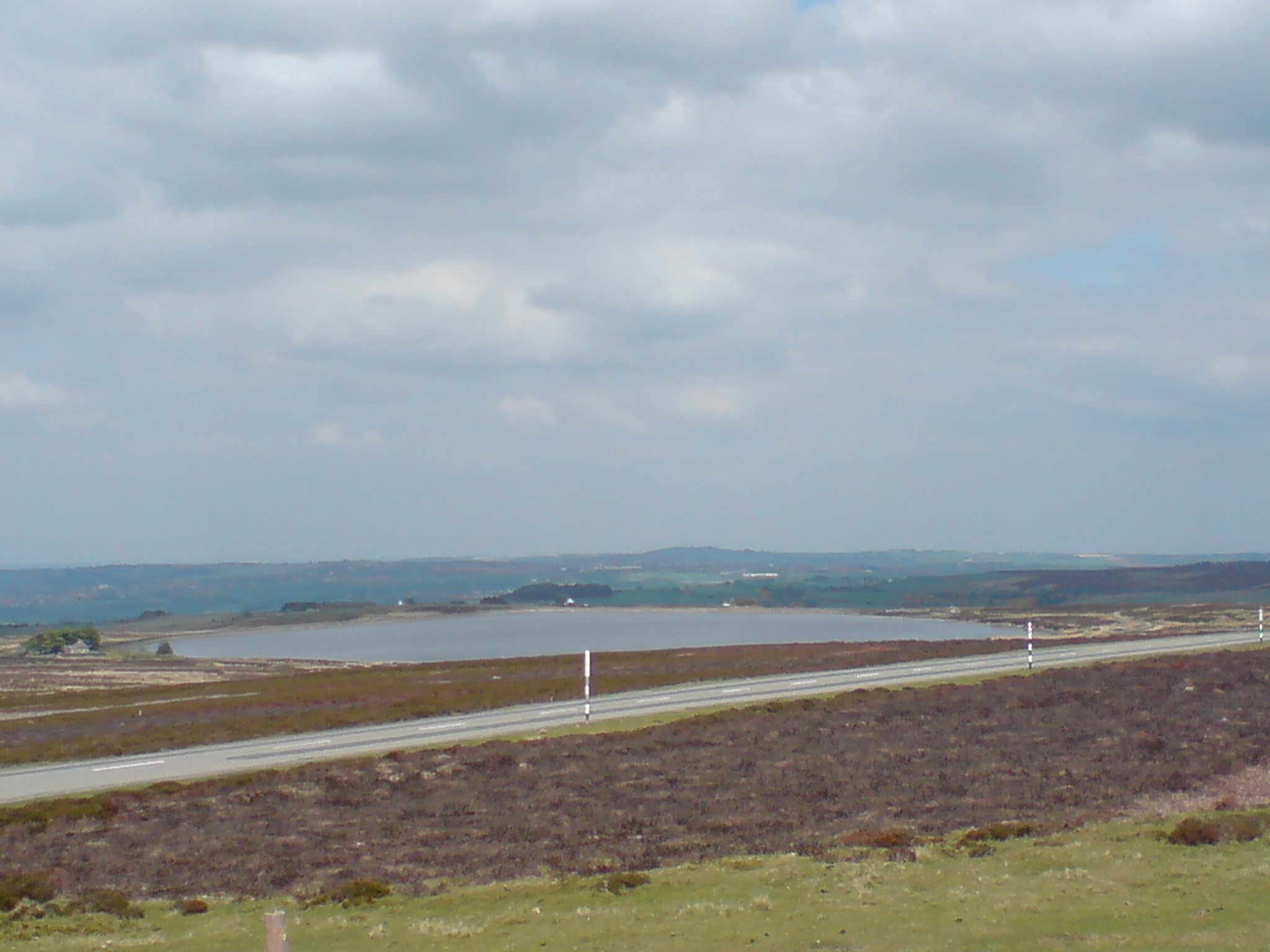
High Allotment, Durham (Downs, Moorland) is a picturesque area located in the county of Durham, England. It is renowned for its stunning natural beauty, encompassing vast expanses of rolling hills, moorland, and lush downs. The area is characterized by its breathtaking panoramic views, making it a popular destination for nature enthusiasts, hikers, and photographers.
The high allotment area is home to a diverse range of flora and fauna, creating a thriving ecosystem. Visitors can expect to encounter a variety of wildflowers, mosses, and heather, as well as an array of bird species, including skylarks and curlews. The peaceful and tranquil atmosphere, combined with the rich biodiversity, makes High Allotment a perfect retreat for those seeking a break from the hustle and bustle of city life.
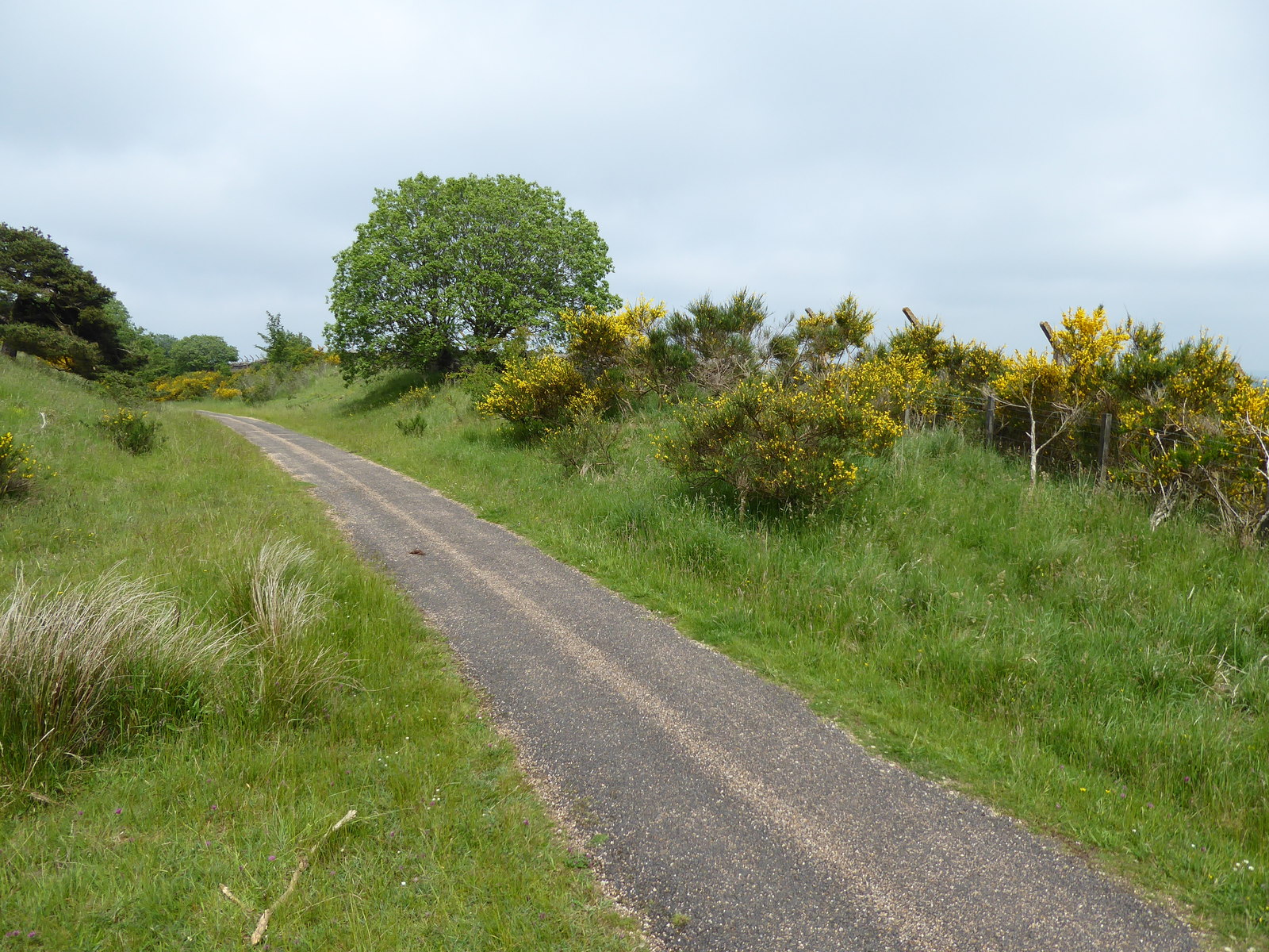
In addition to its natural beauty, High Allotment offers a range of recreational activities. Its extensive network of walking trails and footpaths allows visitors to explore the area at their own pace, while taking in the stunning scenery. The area is also a haven for wildlife enthusiasts, who can often spot rabbits, hares, and even deer roaming freely.
High Allotment is easily accessible by car or public transportation, with ample parking facilities available. The area is well-maintained, with designated picnic areas and benches for visitors to relax and enjoy the surroundings. Whether you are looking for a peaceful walk, a family picnic, or a chance to reconnect with nature, High Allotment, Durham (Downs, Moorland) offers a truly memorable experience.
If you have any feedback on the listing, please let us know in the comments section below.
High Allotment Images
Images are sourced within 2km of 54.798722/-1.9094105 or Grid Reference NZ0544. Thanks to Geograph Open Source API. All images are credited.


High Allotment is located at Grid Ref: NZ0544 (Lat: 54.798722, Lng: -1.9094105)
Unitary Authority: County Durham
Police Authority: Durham
What 3 Words
///onlookers.cook.fights. Near Muggleswick, Co. Durham
Nearby Locations
Related Wikis
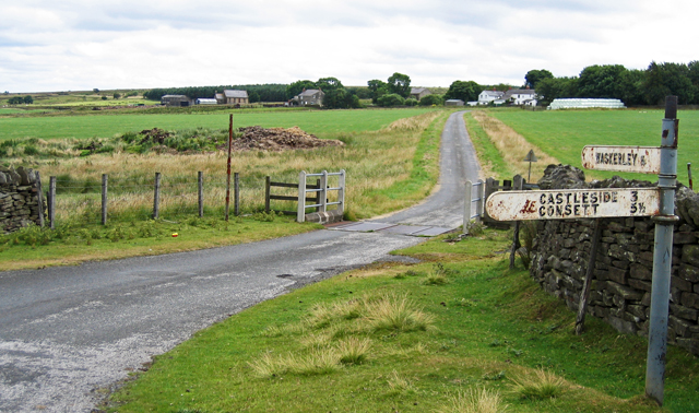
Waskerley
Waskerley is a village in County Durham, England. It is situated six miles to the southwest of Consett and three miles southwest of Castleside and the...
Burnhill railway station
Burnhill railway station served the village of Waskerley, County Durham, England, from 1859 to 1939 on the Stanhope and Tyne Railway. == History == The...

Waskerley railway station
Waskerley railway station, also known as Waskerley Park, served the village of Waskerley, County Durham, England from 1845 to 1859 on the Stanhope and...

River Browney
The River Browney is a river in County Durham, England, and the largest tributary of the River Wear. The River Browney rises from a spring in Head Plantation...
Nearby Amenities
Located within 500m of 54.798722,-1.9094105Have you been to High Allotment?
Leave your review of High Allotment below (or comments, questions and feedback).