Chilmark Common

Downs, Moorland in Wiltshire

England

Chilmark Common

Salisbury Road
Salisbury Road Credit: Oast House Archive

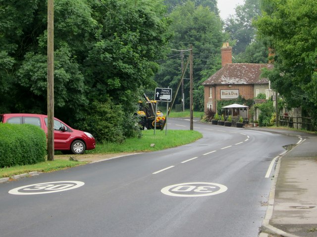
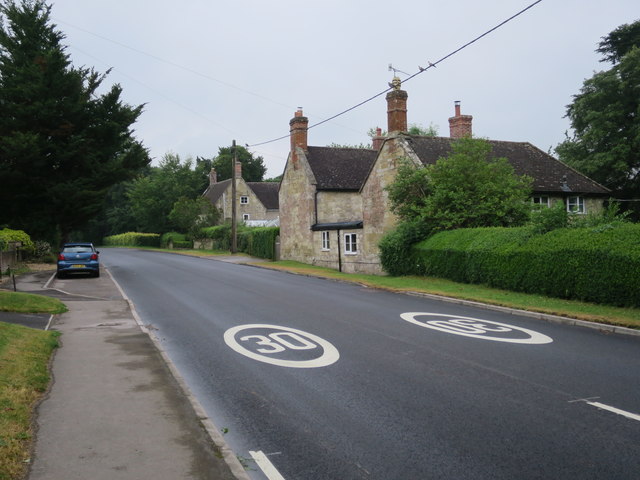
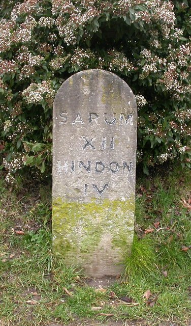
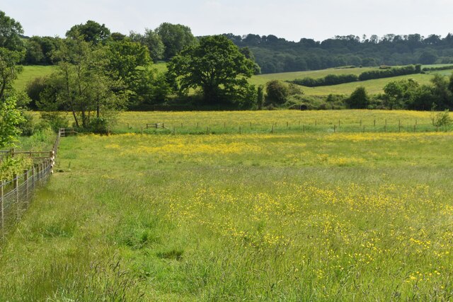
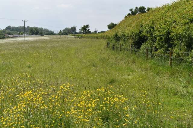
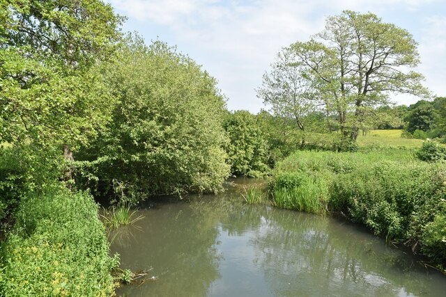
Chilmark Common is a picturesque area located in the county of Wiltshire, England. Situated on the downs and moorland, it is a natural haven that offers stunning views and a tranquil atmosphere. Covering an expansive area, the common is a mix of open grasslands, heathland, and scattered woodlands.

The common is known for its rich biodiversity, with various species of plants and animals thriving in this diverse habitat. The open grasslands are adorned with colorful wildflowers during the summer months, creating a beautiful and vibrant landscape. The heathlands are home to heather and gorse, providing a unique and visually appealing backdrop.

The common is also a popular spot for birdwatching enthusiasts, as it attracts a wide variety of avian species. Visitors may spot the iconic red kite soaring above, or catch a glimpse of skylarks and meadow pipits darting through the air.

For those who enjoy outdoor activities, Chilmark Common offers numerous walking and hiking trails that wind through the stunning countryside. These trails provide the perfect opportunity to explore the area's natural beauty, with breathtaking views at every turn.

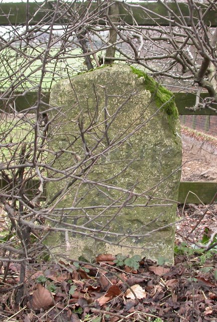
Additionally, the common holds historical significance, with traces of ancient settlements and burial sites dating back thousands of years. Archaeological discoveries have shed light on the lives of the people who once inhabited this area, adding another layer of fascination to Chilmark Common.

Overall, Chilmark Common is a captivating destination that showcases the beauty of Wiltshire's downs and moorland. Its diverse ecosystem, breathtaking views, and historical significance make it a must-visit location for nature lovers and history enthusiasts alike.

If you have any feedback on the listing, please let us know in the comments section below.

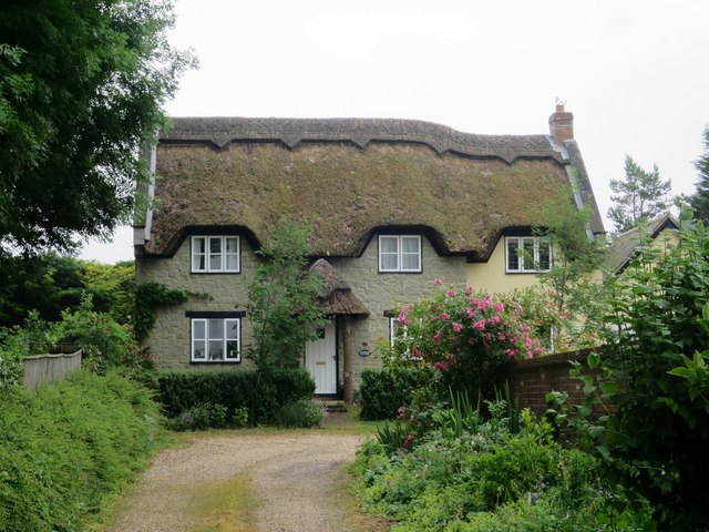
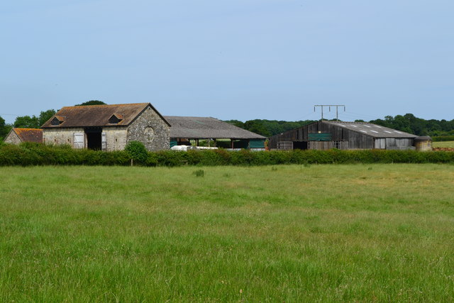
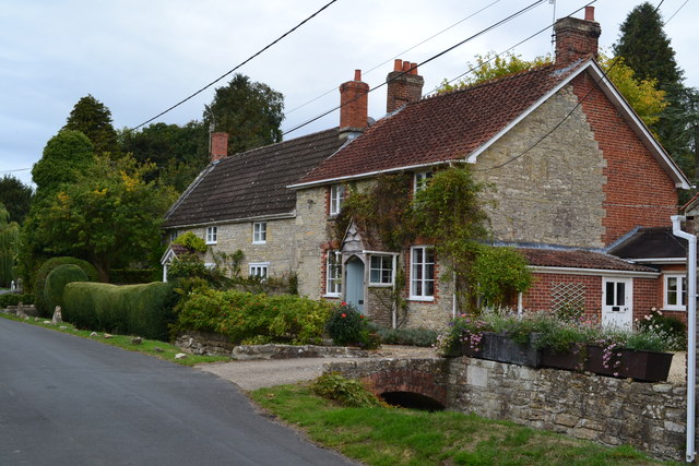
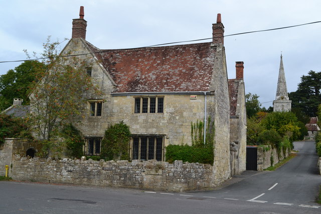
Chilmark Common Images

Images are sourced within 2km of 51.081695/-2.0452325 or Grid Reference ST9631. Thanks to Geograph Open Source API. All images are credited.

Salisbury Road
Salisbury Road
Salisbury Road
Salisbury Road
Black Dog pub A Wadworth pub on Salisbury Road.
Black Dog pub
A Wadworth pub on Salisbury Road.
Black Dog sign Sign for <a href="https://www.geograph.org.uk/photo/5444024">ST9632 : Black Dog pub</a>, a Wadworth pub on Salisbury Road.
Black Dog sign
Sign for ST9632 : Black Dog pub, a Wadworth pub on Salisbury Road.
Cottage at The Reeds
Buildings at Vicarage Barn
Houses near the school in Chilmark
House and church, Chilmark
Houses in The Street at Chilmark The stream channel to the left of the road is currently dry.
Houses in The Street at Chilmark
The stream channel to the left of the road is currently dry.
Old Milestone by the B3089, Salisbury Road, Chilmark Carved stone post by the B3089, in parish of CHILMARK (SALISBURY District), Salisbury Road; 200m East of Black Dog PH, by Parsons Paddock, by the road, on Northeast side of road. Hindon stone, erected by the Fisherton, Wilton, Heytesbury, Willoughby Hedge & Redhone turnpike trust in the 19th century. 

Inscription reads:-
SARUM
XII
HINDON
IV

Grade II listed.  
List Entry Number: 1130699 <span class="nowrap"><a title="https://historicengland.org.uk/listing/the-list/list-entry/1130699" rel="nofollow ugc noopener" href="https://historicengland.org.uk/listing/the-list/list-entry/1130699">Link</a><img style="margin-left:2px;" alt="External link" title="External link - shift click to open in new window" src="https://s1.geograph.org.uk/img/external.png" width="10" height="10"/></span>

Milestone Society National ID: WI_SAMR12.
Old Milestone by the B3089, Salisbury Road, Chilmark
Carved stone post by the B3089, in parish of CHILMARK (SALISBURY District), Salisbury Road; 200m East of Black Dog PH, by Parsons Paddock, by the road, on Northeast side of road. Hindon stone, erected by the Fisherton, Wilton, Heytesbury, Willoughby Hedge & Redhone turnpike trust in the 19th century. Inscription reads:- SARUM XII HINDON IV Grade II listed. List Entry Number: 1130699 LinkExternal link Milestone Society National ID: WI_SAMR12.
Old Milestone by the B3089, Hindon Road, Teffont parish Carved stone post by the B3089, in parish of TEFFONT (SALISBURY District), Hindon Road; 50m East Clarendon Stud, in hedgerow, on South side of road. Hindon stone, erected by the Fisherton, Wilton, Heytesbury, Willoughby Hedge & Redhone turnpike trust in the 19th century. 

Inscription reads:-
SARUM
XI
HINDON
V

Grade II listed.  
List Entry Number: 1146299 <span class="nowrap"><a title="https://historicengland.org.uk/listing/the-list/list-entry/1146299" rel="nofollow ugc noopener" href="https://historicengland.org.uk/listing/the-list/list-entry/1146299">Link</a><img style="margin-left:2px;" alt="External link" title="External link - shift click to open in new window" src="https://s1.geograph.org.uk/img/external.png" width="10" height="10"/></span>

Milestone Society National ID: WI_SAMR11.
Old Milestone by the B3089, Hindon Road, Teffont parish
Carved stone post by the B3089, in parish of TEFFONT (SALISBURY District), Hindon Road; 50m East Clarendon Stud, in hedgerow, on South side of road. Hindon stone, erected by the Fisherton, Wilton, Heytesbury, Willoughby Hedge & Redhone turnpike trust in the 19th century. Inscription reads:- SARUM XI HINDON V Grade II listed. List Entry Number: 1146299 LinkExternal link Milestone Society National ID: WI_SAMR11.
Buttercup meadow in Nadder Valley
Footpath beside road, Lower Chicksgrove The footpath enters the field just west of Lower Chicksgrove and provides an off-road route to the west.
Footpath beside road, Lower Chicksgrove
The footpath enters the field just west of Lower Chicksgrove and provides an off-road route to the west.
River Nadder just above Coleman's Farm
Railway south of Coleman's Farm The single-track line west towards Tisbury and Exeter.
Railway south of Coleman's Farm
The single-track line west towards Tisbury and Exeter.
Minor road near Teffont Evias The minor road passes the farm buildings of Ley Farm.  There is an Ordnance Survey bench mark on the angle of the barn.
Minor road near Teffont Evias
The minor road passes the farm buildings of Ley Farm. There is an Ordnance Survey bench mark on the angle of the barn.
Bench Mark, Ley Farm The bench mark is to be found on the south east angle of the building.  For a view of the building <a href="https://www.geograph.org.uk/photo/2334338">ST9830 : Minor road near Teffont Evias</a> and for further information on the bench mark and others in the area <span class="nowrap"><a title="http://www.bench-marks.org.uk/bm37438" rel="nofollow ugc noopener" href="http://www.bench-marks.org.uk/bm37438">Link</a><img style="margin-left:2px;" alt="External link" title="External link - shift click to open in new window" src="https://s1.geograph.org.uk/img/external.png" width="10" height="10"/></span>
Bench Mark, Ley Farm
The bench mark is to be found on the south east angle of the building. For a view of the building ST9830 : Minor road near Teffont Evias and for further information on the bench mark and others in the area LinkExternal link
The Orange Way in Wiltshire (76) The bridleway reaches Knap Lane.
The Orange Way in Wiltshire (76)
The bridleway reaches Knap Lane.
Show me another place!

Chilmark Common is located at Grid Ref: ST9631 (Lat: 51.081695, Lng: -2.0452325)

Unitary Authority: Wiltshire

Police Authority: Wiltshire

What 3 Words

///privately.lighters.overdrive. Near Tisbury, Wiltshire

Related Wikis

Chilmark Quarries

Chilmark Quarries (grid reference ST974312) is a 9.65 hectare biological and geological Site of Special Scientific Interest (SSSI), in the ravine south...

Lady Down Quarry

Lady Down Quarry (grid reference ST961307) is a 2,300 square metre geological Site of Special Scientific Interest in the northeast of Tisbury parish in...
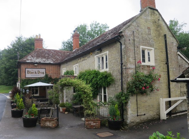
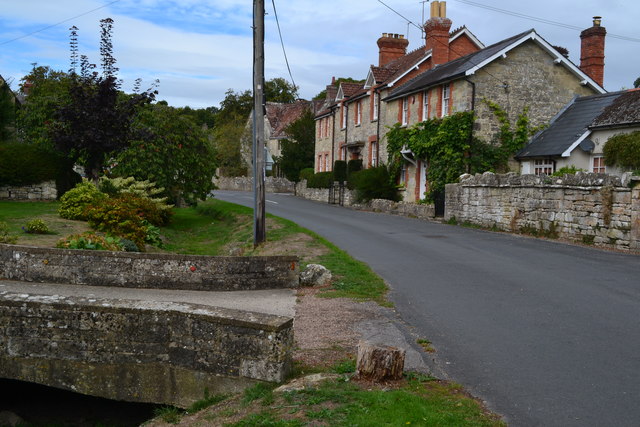
Chilmark, Wiltshire

Chilmark is a Wiltshire village and civil parish of some 150 houses straddling the B3089 road, 11 miles (18 km) west of Salisbury, England. The parish...

Lower Chicksgrove

Lower Chicksgrove is a hamlet on the north bank of the River Nadder in the south of the county of Wiltshire, England, within the Vale of Wardour. It is...

Chicksgrove Quarry

Chicksgrove Quarry (grid reference ST962296) is a 14 acres (5.7 ha) geological Site of Special Scientific Interest south of Upper Chicksgrove in Wiltshire...

Teffont

Teffont is a civil parish in the south of Wiltshire, England, consisting of the villages of Teffont Magna and Teffont Evias. It is in the Nadder valley...

Teffont Evias

Teffont Evias is a small village and former civil parish, now in the parish of Teffont, on the Nadder valley in the south of Wiltshire, England. Edric...

Teffont Magna

Teffont Magna, sometimes called Upper Teffont, is a small village and former civil parish, now in the parish of Teffont, in the Nadder valley in the south...

Nearby Amenities

Located within 500m of 51.081695,-2.0452325
The data included in this document is from www.openstreetmap.org. The data is made available under ODbL.

Have you been to Chilmark Common?

Leave your review of Chilmark Common below (or comments, questions and feedback).