Portash

Settlement in Wiltshire

England

Portash

Fonthill Estate, Wiltshire Looking north across parkland to Fonthill House and Little Ridge Wood behind.
Fonthill Estate, Wiltshire Credit: James Harrison

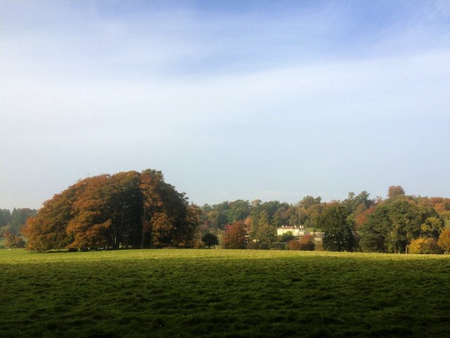
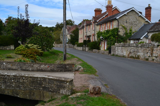
Portash is a small village located in the county of Wiltshire, England. Situated near the town of Calne, Portash is nestled within the beautiful countryside of the North Wessex Downs Area of Outstanding Natural Beauty.

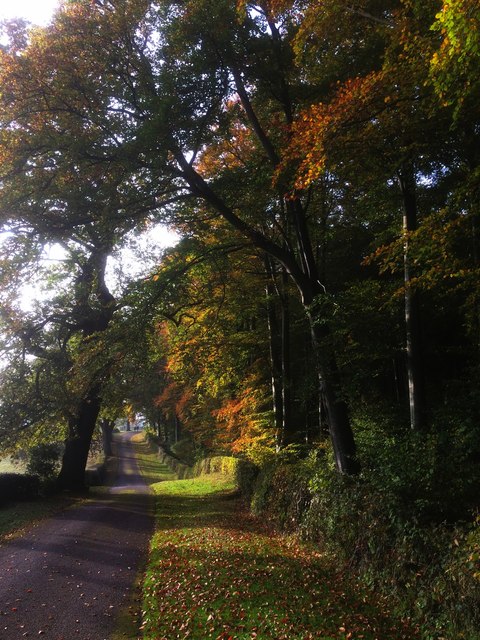
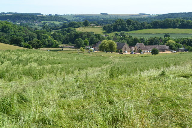
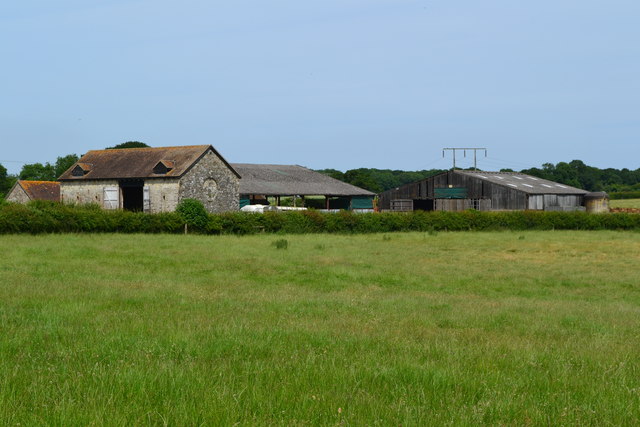
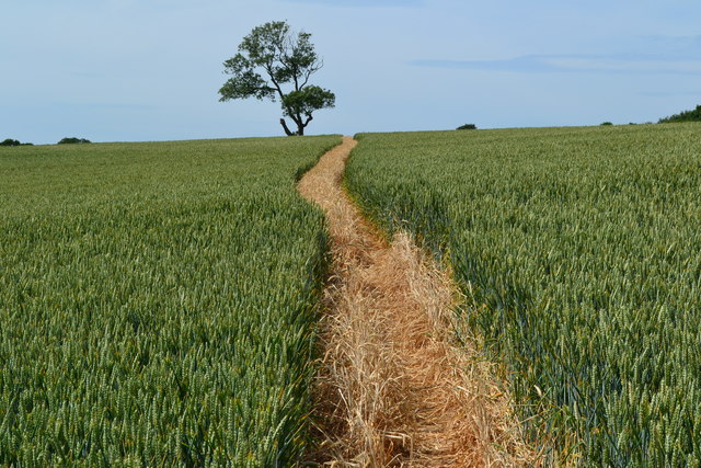
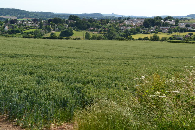
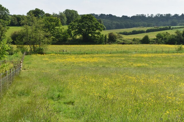
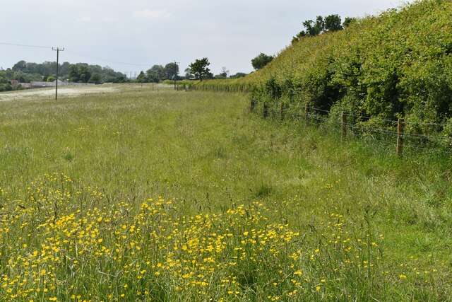
The village is known for its picturesque charm and tranquil atmosphere, making it an ideal destination for those seeking a peaceful retreat away from the hustle and bustle of city life. The surrounding landscape is characterized by rolling hills, lush green fields, and quaint country lanes, providing ample opportunities for outdoor activities such as hiking, cycling, and horseback riding.

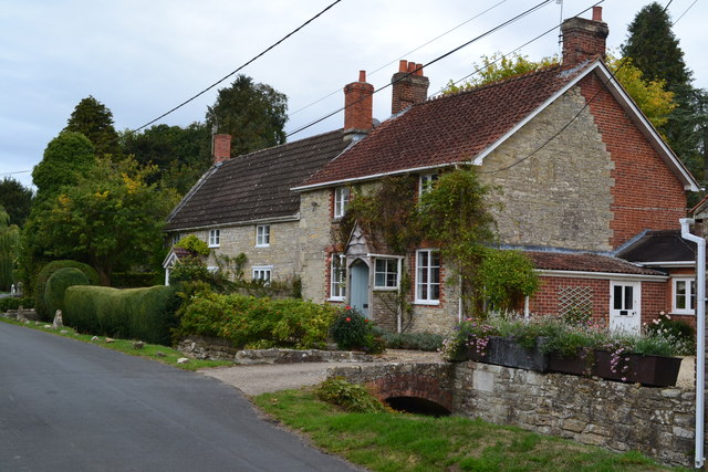
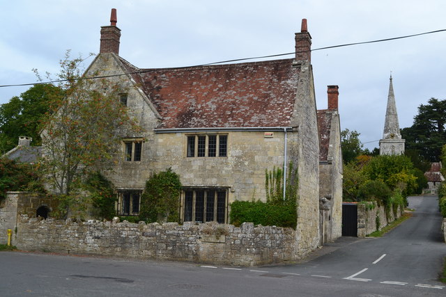
Portash is home to a close-knit community, with a population of around 500 residents. The village features a charming church, St. Mary's, which dates back to the 12th century and is a prominent landmark in the area. Additionally, there is a local pub, The Portash Arms, where villagers and visitors can enjoy a pint of ale and traditional British cuisine.

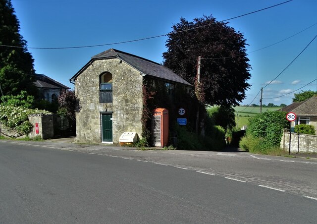
Despite its small size, Portash has a rich history. The village was mentioned in the Domesday Book of 1086, indicating its existence for over nine centuries. Over the years, Portash has retained much of its historic character, with several well-preserved thatched cottages and traditional architecture.

While lacking in major amenities and commercial establishments, Portash offers a peaceful and idyllic lifestyle for its residents. The village's proximity to Calne provides access to a wider range of services, including shops, schools, and healthcare facilities. Overall, Portash is a charming rural village that showcases the timeless beauty of the English countryside.

If you have any feedback on the listing, please let us know in the comments section below.
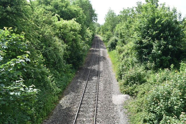
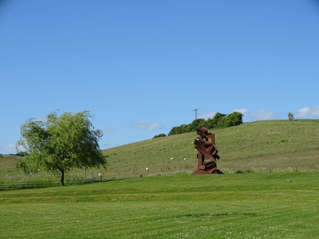
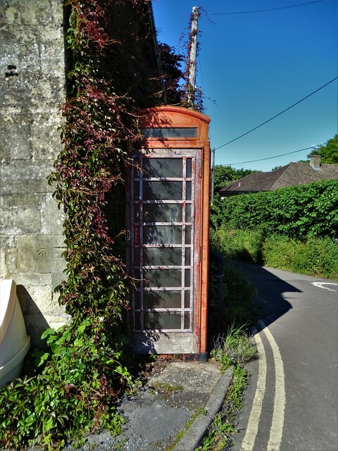
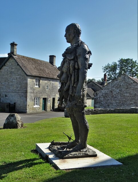
Portash Images

Images are sourced within 2km of 51.078308/-2.0584762 or Grid Reference ST9631. Thanks to Geograph Open Source API. All images are credited.

Fonthill Estate, Wiltshire Looking north across parkland to Fonthill House and Little Ridge Wood behind.
Fonthill Estate, Wiltshire
Looking north across parkland to Fonthill House and Little Ridge Wood behind.
Driveway to Fonthill House, Wiltshire Bounded on one side by Little Ridge Wood, and parkland on the other, this photograph shows the driveway from Ridge to Fonthill House, Wiltshire. The trees are showing their autumnal colours, emphasised by the low afternoon sunlight.
Driveway to Fonthill House, Wiltshire
Bounded on one side by Little Ridge Wood, and parkland on the other, this photograph shows the driveway from Ridge to Fonthill House, Wiltshire. The trees are showing their autumnal colours, emphasised by the low afternoon sunlight.
Valley view towards Place Farm The buildings at Place Farm now house an arts centre, Messums Wiltshire.
Valley view towards Place Farm
The buildings at Place Farm now house an arts centre, Messums Wiltshire.
Buildings at Vicarage Barn
No doubt about the footpath! Clearly marked path through crops towards distant tree.
No doubt about the footpath!
Clearly marked path through crops towards distant tree.
View towards Tisbury
Houses near the school in Chilmark
House and church, Chilmark
Houses in The Street at Chilmark The stream channel to the left of the road is currently dry.
Houses in The Street at Chilmark
The stream channel to the left of the road is currently dry.
Buttercup meadow in Nadder Valley
Footpath beside road, Lower Chicksgrove The footpath enters the field just west of Lower Chicksgrove and provides an off-road route to the west.
Footpath beside road, Lower Chicksgrove
The footpath enters the field just west of Lower Chicksgrove and provides an off-road route to the west.
River Nadder just above Coleman's Farm
Railway south of Coleman's Farm The single-track line west towards Tisbury and Exeter.
Railway south of Coleman's Farm
The single-track line west towards Tisbury and Exeter.
At Messums Wiltshire At Place Farm, close to the magnificent tithe barn, there was an outdoor exhibition of the sculptural work of Albert Paley (b.1944)
At Messums Wiltshire
At Place Farm, close to the magnificent tithe barn, there was an outdoor exhibition of the sculptural work of Albert Paley (b.1944)
Telephone box in Tisbury Surprisingly, still working though coins are not allowed any more.
Telephone box in Tisbury
Surprisingly, still working though coins are not allowed any more.
"Man of Stones" by Laurence Edwards At Messums Wiltshire in Tisbury. Cast in bronze and first unveiled in November 2019 within the sculpture park of the Sainsbury Centre for Visual Arts at The University of East Anglia.
"Man of Stones" by Laurence Edwards
At Messums Wiltshire in Tisbury. Cast in bronze and first unveiled in November 2019 within the sculpture park of the Sainsbury Centre for Visual Arts at The University of East Anglia.
Road junction in Tisbury With a telephone box (still working) and a postbox.
Road junction in Tisbury
With a telephone box (still working) and a postbox.
High Street Junction with Duck Street.
High Street
Junction with Duck Street.
Show me another place!

Portash is located at Grid Ref: ST9631 (Lat: 51.078308, Lng: -2.0584762)

Unitary Authority: Wiltshire

Police Authority: Wiltshire

What 3 Words

///fury.incensed.object. Near Tisbury, Wiltshire

Related Wikis

Lady Down Quarry

Lady Down Quarry (grid reference ST961307) is a 2,300 square metre geological Site of Special Scientific Interest in the northeast of Tisbury parish in...

Chicksgrove Quarry

Chicksgrove Quarry (grid reference ST962296) is a 14 acres (5.7 ha) geological Site of Special Scientific Interest south of Upper Chicksgrove in Wiltshire...

Lower Chicksgrove

Lower Chicksgrove is a hamlet on the north bank of the River Nadder in the south of the county of Wiltshire, England, within the Vale of Wardour. It is...

Place Farm, Tisbury

Place Farm is a complex of medieval buildings in the village of Tisbury, Wiltshire, England. They originally formed a grange of Shaftesbury Abbey. The...

Chilmark Quarries

Chilmark Quarries (grid reference ST974312) is a 9.65 hectare biological and geological Site of Special Scientific Interest (SSSI), in the ravine south...

Chilmark, Wiltshire

Chilmark is a Wiltshire village and civil parish of some 150 houses straddling the B3089 road, 11 miles (18 km) west of Salisbury, England. The parish...

Tisbury, Wiltshire

Tisbury is a large village and civil parish approximately 13 miles (21 km) west of Salisbury in the English county of Wiltshire. With a population at the...

Tisbury railway station

Tisbury railway station serves the village of Tisbury in Wiltshire, England. It is currently managed by South Western Railway and is on the West of England...

Nearby Amenities

Located within 500m of 51.078308,-2.0584762
Barrier: stile
Lat/Long: 51.0780446/-2.0573912
Barrier: stile
Lat/Long: 51.0756447/-2.0626
Barrier: stile
Lat/Long: 51.0748071/-2.0627014
Barrier: stile
Lat/Long: 51.0747618/-2.0624301
Parking
Lat/Long: 51.0794071/-2.0543419
Barrier: stile
Lat/Long: 51.075724/-2.0625472
The data included in this document is from www.openstreetmap.org. The data is made available under ODbL.

Have you been to Portash?

Leave your review of Portash below (or comments, questions and feedback).