Moses Wood
Wood, Forest in Wiltshire
England
Moses Wood
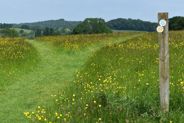
Moses Wood is a small forested area located in the county of Wiltshire, England. Covering an area of approximately 50 acres, it is a picturesque woodland that offers a tranquil and serene escape from the bustling cities nearby.
The forest is primarily composed of native deciduous tree species, including oak, beech, and ash trees. These towering trees create a dense canopy that provides shade and shelter for a diverse range of flora and fauna. Bluebells, primroses, and wild garlic are just a few examples of the vibrant plant life that thrives within the woodland.
Moses Wood is a popular destination for nature enthusiasts and outdoor lovers. The forest offers numerous walking trails that wind through its enchanting landscape, allowing visitors to explore and immerse themselves in the natural beauty of the area. As they wander along the well-maintained paths, visitors may spot various wildlife species such as deer, foxes, and a wide array of bird species.
In addition to its natural charm, Moses Wood also has a rich history. It is believed that the forest has been in existence for centuries, dating back to medieval times. Local legends and folklore surround the woodland, adding to its mystical allure.
Overall, Moses Wood is a hidden gem in Wiltshire, offering a peaceful retreat for those seeking solace in nature. With its ancient trees, diverse wildlife, and scenic trails, it is a place where visitors can reconnect with the natural world and appreciate the beauty of the English countryside.
If you have any feedback on the listing, please let us know in the comments section below.
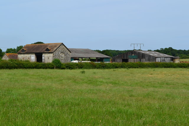
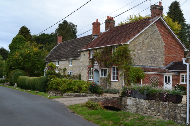
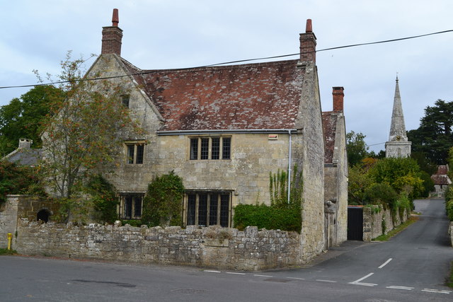
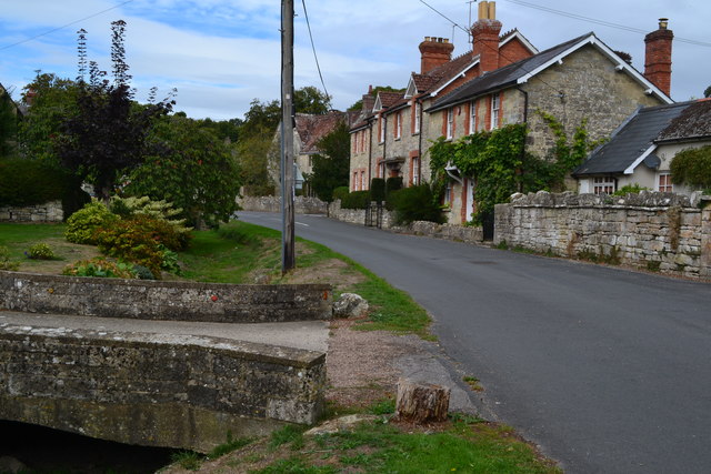
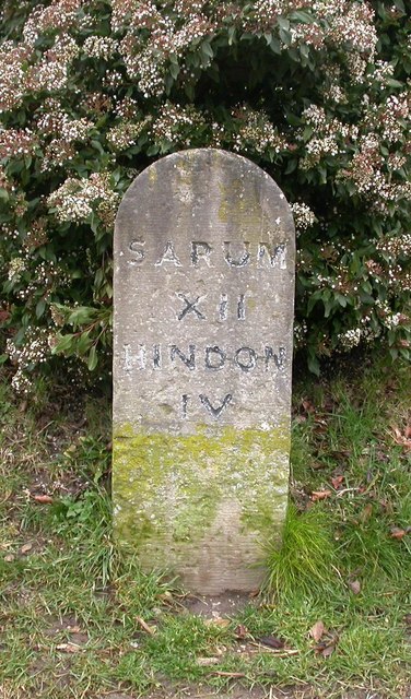
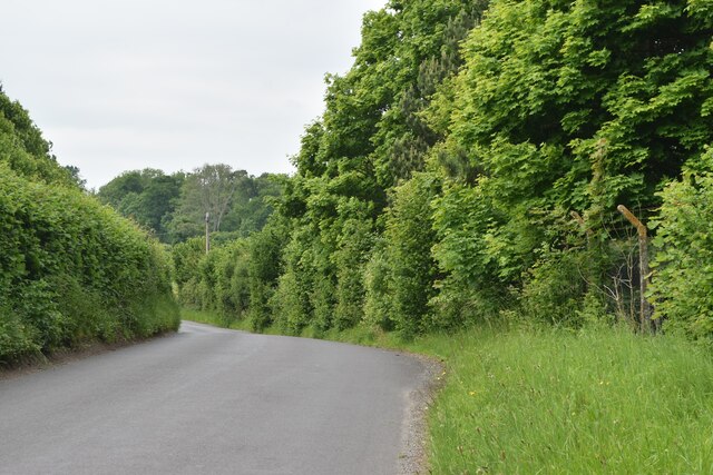
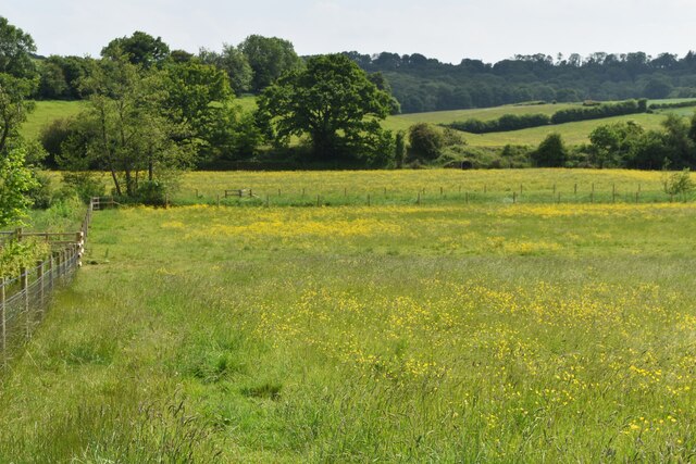
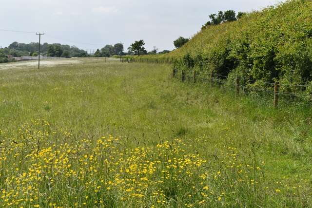
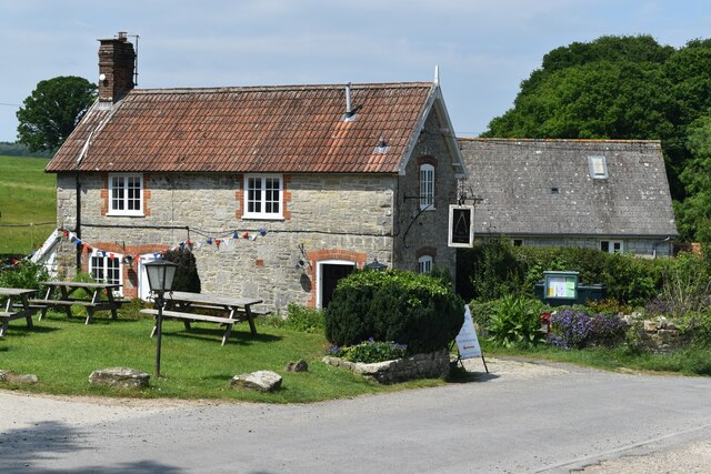
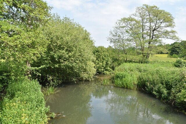
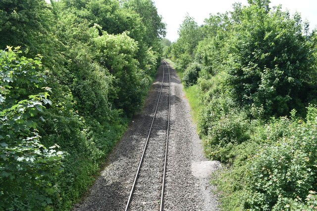
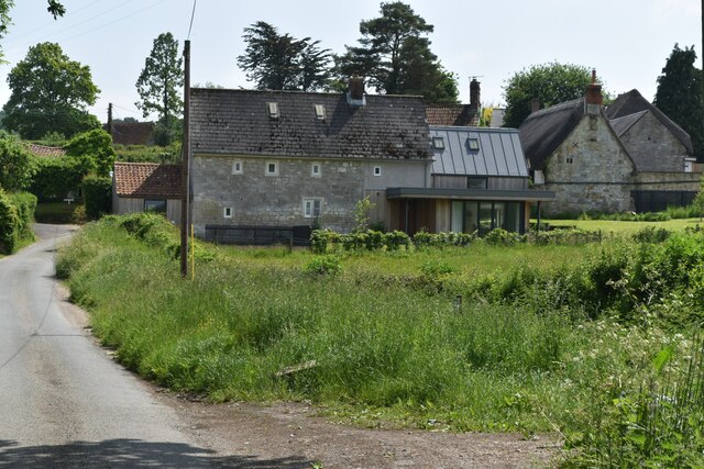
Moses Wood Images
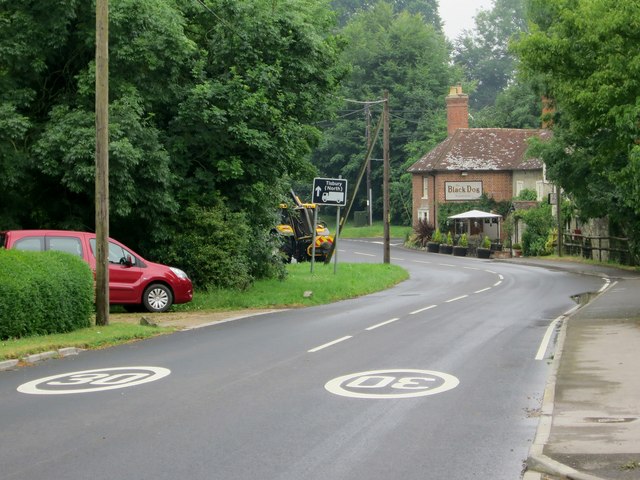
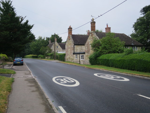
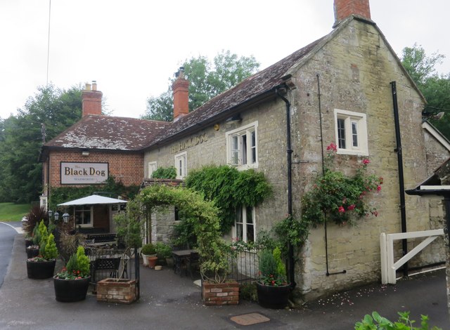
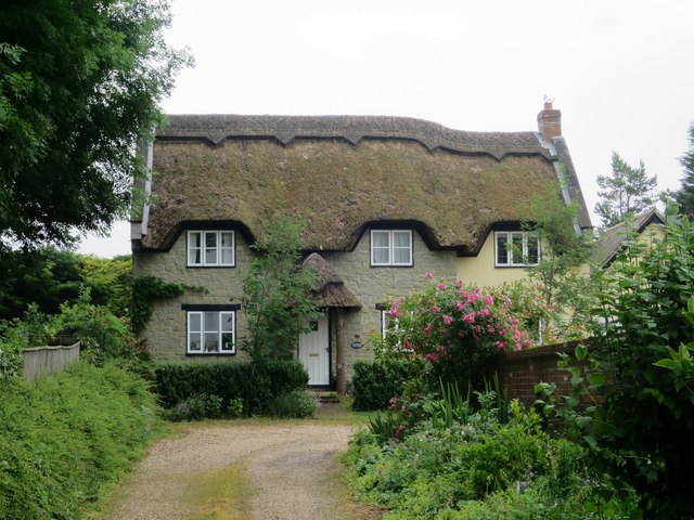
Images are sourced within 2km of 51.078404/-2.0448581 or Grid Reference ST9631. Thanks to Geograph Open Source API. All images are credited.

Moses Wood is located at Grid Ref: ST9631 (Lat: 51.078404, Lng: -2.0448581)
Unitary Authority: Wiltshire
Police Authority: Wiltshire
What 3 Words
///closer.slot.engrossed. Near Tisbury, Wiltshire
Nearby Locations
Related Wikis

Chilmark Quarries
Chilmark Quarries (grid reference ST974312) is a 9.65 hectare biological and geological Site of Special Scientific Interest (SSSI), in the ravine south...

Lady Down Quarry
Lady Down Quarry (grid reference ST961307) is a 2,300 square metre geological Site of Special Scientific Interest in the northeast of Tisbury parish in...

Lower Chicksgrove
Lower Chicksgrove is a hamlet on the north bank of the River Nadder in the south of the county of Wiltshire, England, within the Vale of Wardour. It is...

Chicksgrove Quarry
Chicksgrove Quarry (grid reference ST962296) is a 14 acres (5.7 ha) geological Site of Special Scientific Interest south of Upper Chicksgrove in Wiltshire...

Chilmark, Wiltshire
Chilmark is a Wiltshire village and civil parish of some 150 houses straddling the B3089 road, 11 miles (18 km) west of Salisbury, England. The parish...

Teffont Evias
Teffont Evias is a small village and former civil parish, now in the parish of Teffont, on the Nadder valley in the south of Wiltshire, England. Edric...

Teffont
Teffont is a civil parish in the south of Wiltshire, England, consisting of the villages of Teffont Magna and Teffont Evias. It is in the Nadder valley...

Place Farm, Tisbury
Place Farm is a complex of medieval buildings in the village of Tisbury, Wiltshire, England. They originally formed a grange of Shaftesbury Abbey. The...
Nearby Amenities
Located within 500m of 51.078404,-2.0448581Have you been to Moses Wood?
Leave your review of Moses Wood below (or comments, questions and feedback).