Woodside Moor
Downs, Moorland in Northumberland
England
Woodside Moor
Woodside Moor is a picturesque area located in Northumberland, England. Situated in the northern part of the county, it is known for its stunning downs and moorland landscapes. Spanning approximately 500 acres, Woodside Moor offers visitors a unique blend of natural beauty and tranquility.
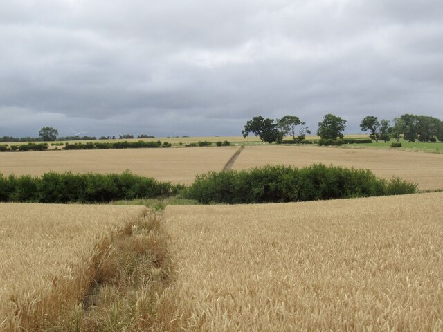
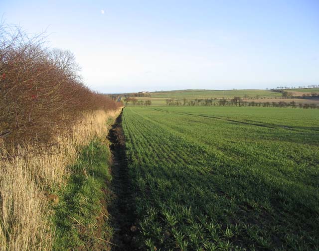
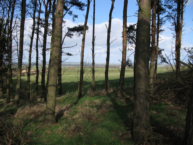
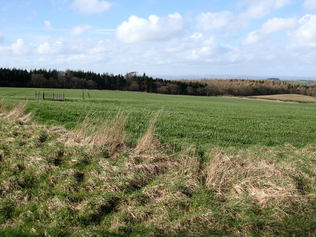
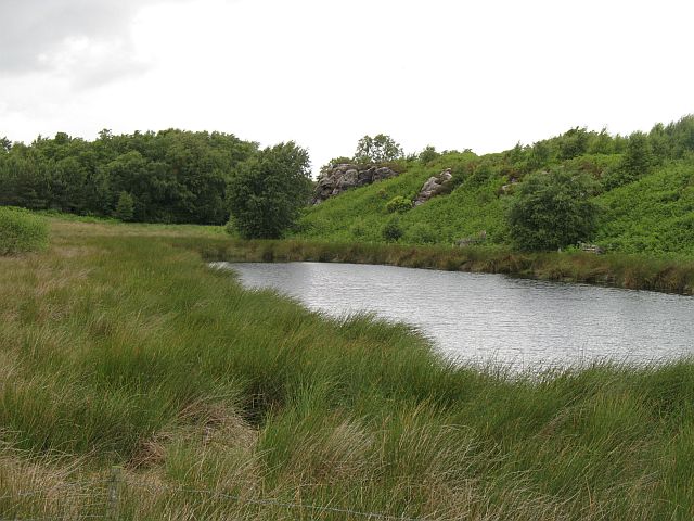
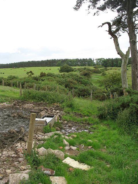
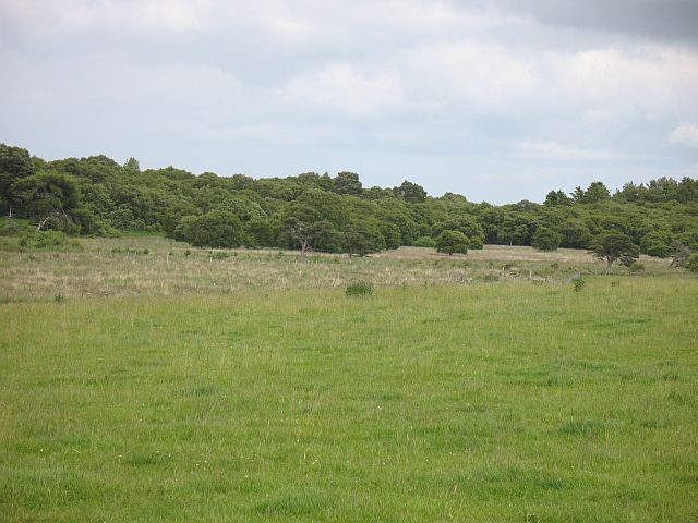
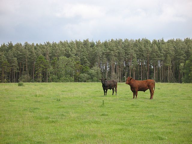
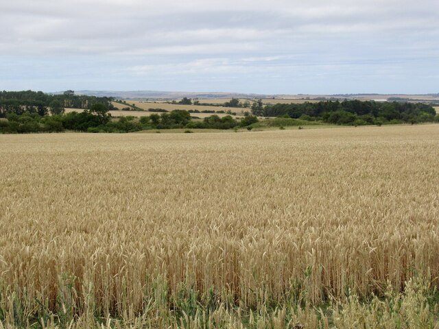
The moorland of Woodside Moor is characterized by its vast expanses of open grassland, heather, and gorse, creating a patchwork of colors that change with the seasons. This diverse habitat provides a home for a variety of wildlife, including birds such as curlews, lapwings, and skylarks. Rare species such as the black grouse and red squirrel can also be spotted here.
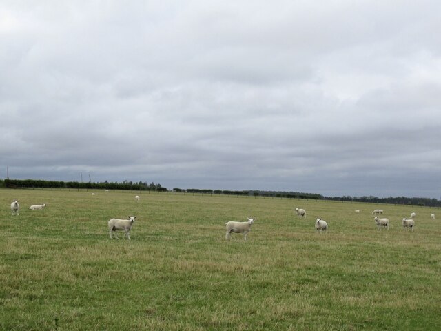
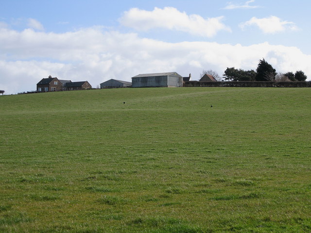
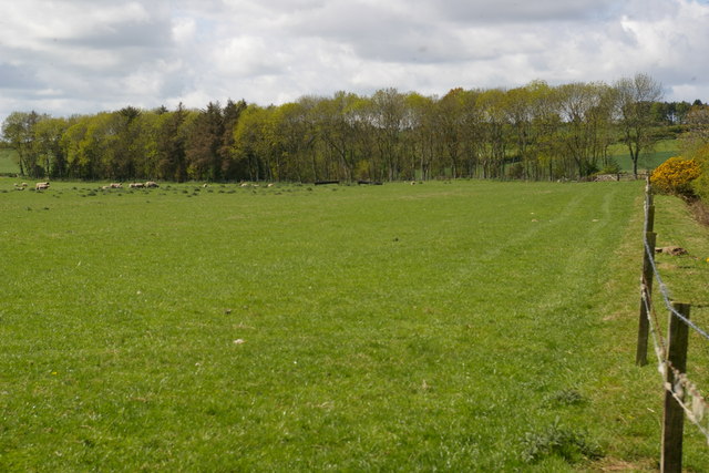
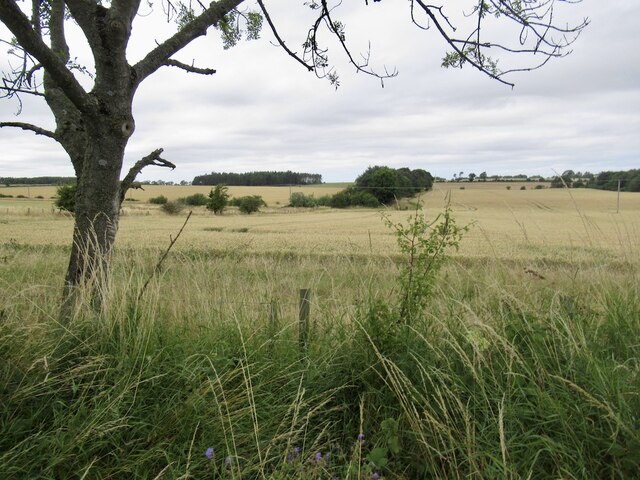
The downs of Woodside Moor offer breathtaking panoramic views of the surrounding countryside. Rolling hills, dotted with sheep grazing peacefully, create a picturesque backdrop for visitors. The downs are also home to several walking trails, allowing visitors to explore the area and take in the stunning vistas.
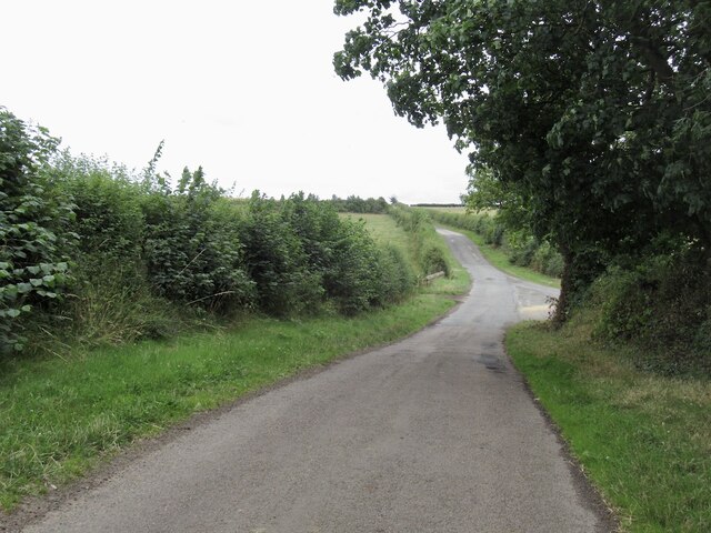
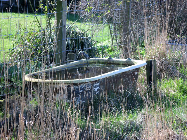
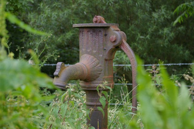
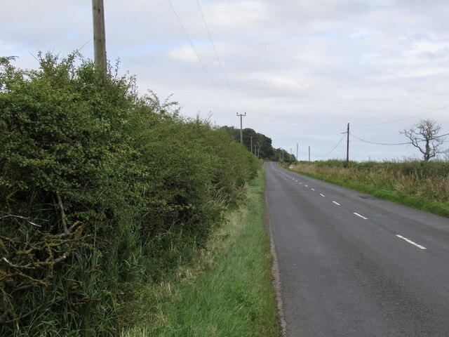
Woodside Moor is a popular destination for outdoor activities, such as hiking, birdwatching, and photography. The moorland and downs provide ample opportunities for exploration and relaxation in nature. The area is well-maintained, with clearly marked paths and picnic areas, making it accessible for all visitors.
Whether you are an avid nature enthusiast or simply seeking a peaceful retreat, Woodside Moor in Northumberland promises a memorable experience. Its diverse landscapes, rich wildlife, and stunning views make it a true gem in the heart of the county.
If you have any feedback on the listing, please let us know in the comments section below.
Woodside Moor Images
Images are sourced within 2km of 55.657295/-2.0502434 or Grid Reference NT9640. Thanks to Geograph Open Source API. All images are credited.
Woodside Moor is located at Grid Ref: NT9640 (Lat: 55.657295, Lng: -2.0502434)
Unitary Authority: Northumberland
Police Authority: Northumbria
What 3 Words
///budgeted.umbrella.snooping. Near Ford, Northumberland
Nearby Locations
Related Wikis
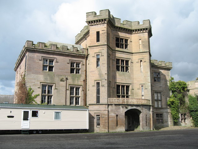
Barmoor Castle
Barmoor Castle ( grid reference NT99723988) is a privately owned 19th-century country house built on an ancient site in Northumberland. It is a Grade...

Bowsden
Bowsden is a village and civil parish in Northumberland, England. It is about 6 miles (10 km) to the south of Berwick-upon-Tweed, inland from the North...

Lady Waterford Hall
Lady Waterford Hall is the former village school of the estate village of Ford, Northumberland. It is now used as the village hall and is a Grade II* listed...

Ford, Northumberland
Ford is a small village and civil parish in Northumberland, England, about 13 miles (21 km) from Berwick-upon-Tweed. The parish also includes Etal. �...

Duddo Tower
Duddo Tower is a Scheduled Ancient Monument and a Grade II listed building comprising the ruinous remains of an ancient pele tower and 16th century tower...

Ford Castle
Ford Castle is a Grade I listed building situated at a shallow crossing point on the River Till, Ford, Northumberland, England. The castle dates from about...
Duddo
Duddo is a village and civil parish in Northumberland, about 8 miles (13 km) southwest of Berwick-upon-Tweed. == History == Duddo Five Stones is a stone...

Heatherslaw Mill
Heatherslaw Mill is a water mill situated on the Ford and Etal Estate, 7 miles north of the town of Wooler in the English county of Northumberland. It...
Have you been to Woodside Moor?
Leave your review of Woodside Moor below (or comments, questions and feedback).