High Wood
Wood, Forest in Northumberland
England
High Wood
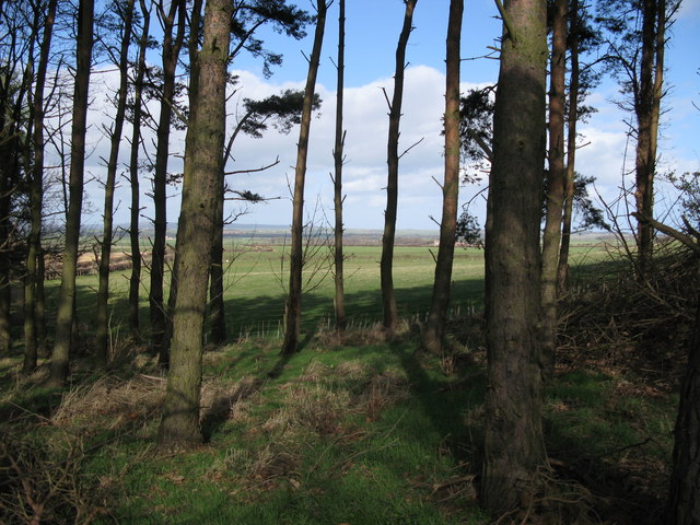
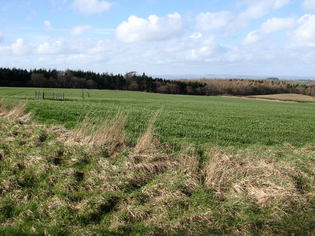
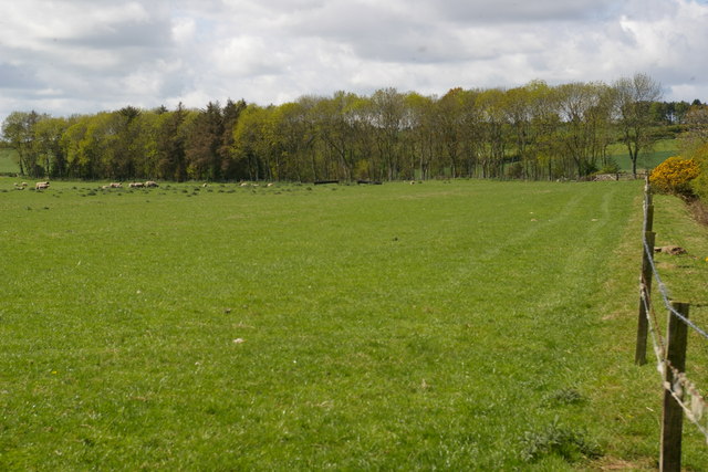
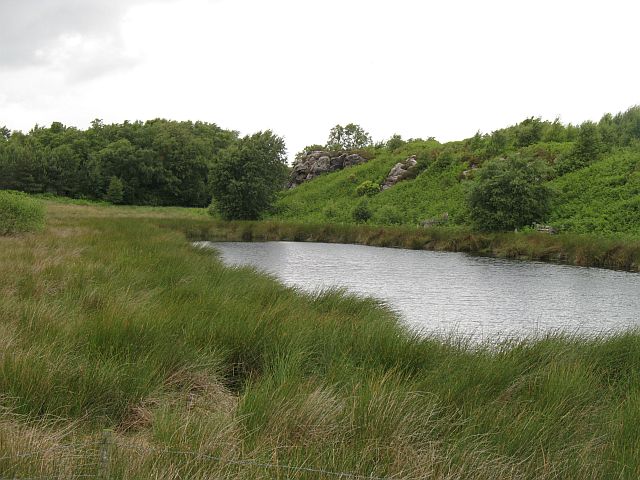
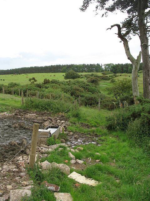
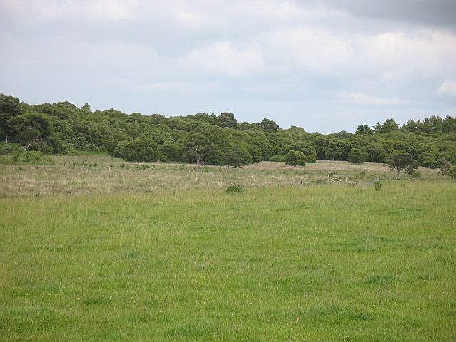
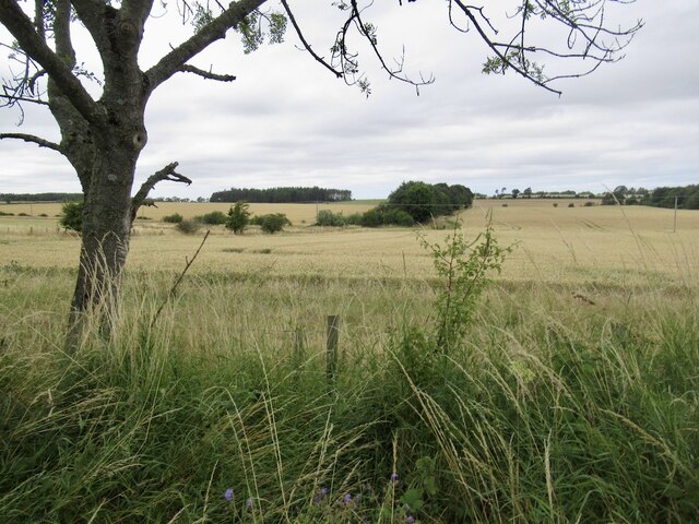
High Wood is a picturesque woodland located in Northumberland, England. Situated in the northern part of the county, it is part of the wider Kielder Forest and covers an area of approximately 200 acres. The wood is known for its stunning natural beauty and diverse range of flora and fauna.
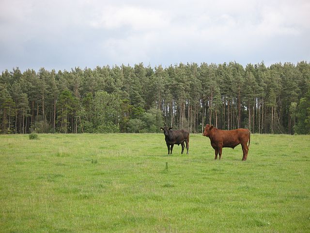
The woodland consists primarily of mature coniferous trees, including majestic Scots pines and Norway spruces. These towering trees create a dense canopy that provides a habitat for a variety of wildlife, such as red squirrels, roe deer, and a wide array of bird species. High Wood is also home to a number of rare and protected species, including the endangered red kite.
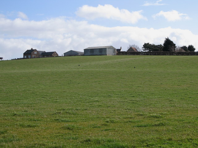
Visitors to High Wood can explore its numerous walking trails, which offer breathtaking views of the surrounding landscape. The wood is particularly popular among nature enthusiasts and photographers, who are drawn to its tranquil atmosphere and photogenic scenery. Additionally, the wood is a designated Dark Sky Discovery Site, making it an excellent spot for stargazing and observing celestial phenomena.
High Wood is managed by the Forestry Commission, who are responsible for the sustainable management and conservation of the woodland. The commission ensures that the wood remains accessible to the public while preserving its natural integrity.
Overall, High Wood is a captivating destination for those seeking a peaceful retreat in the heart of Northumberland's stunning countryside. Its rich biodiversity and stunning vistas make it a must-visit location for nature lovers and outdoor enthusiasts alike.
If you have any feedback on the listing, please let us know in the comments section below.
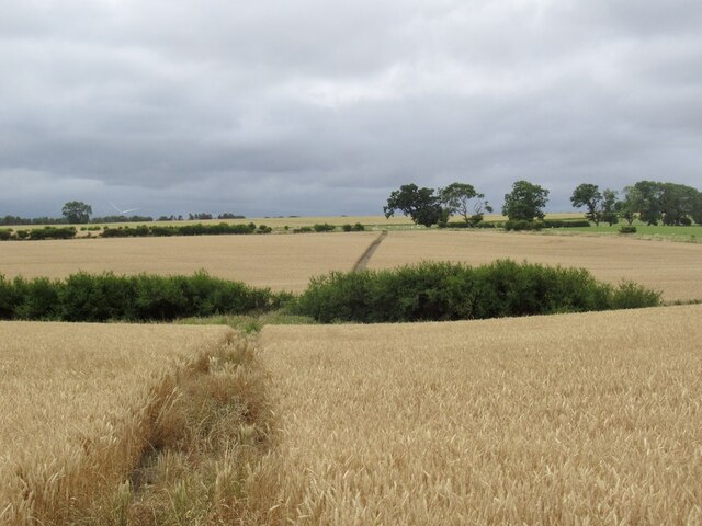
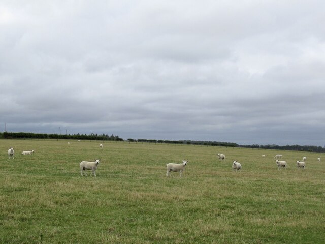
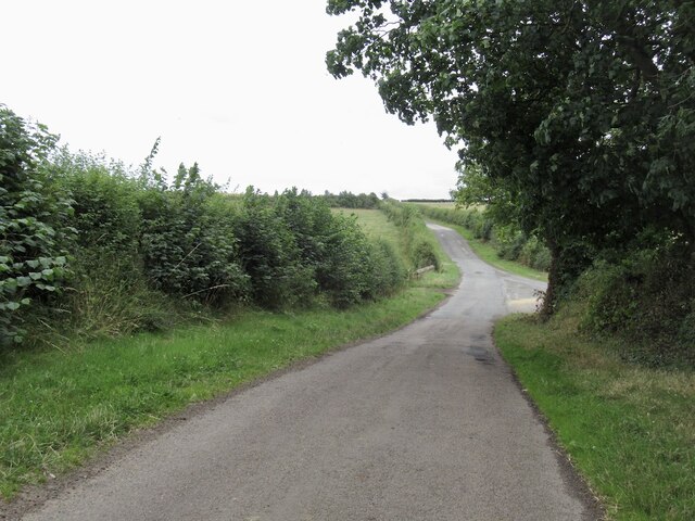
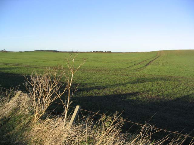
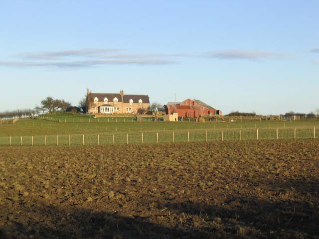
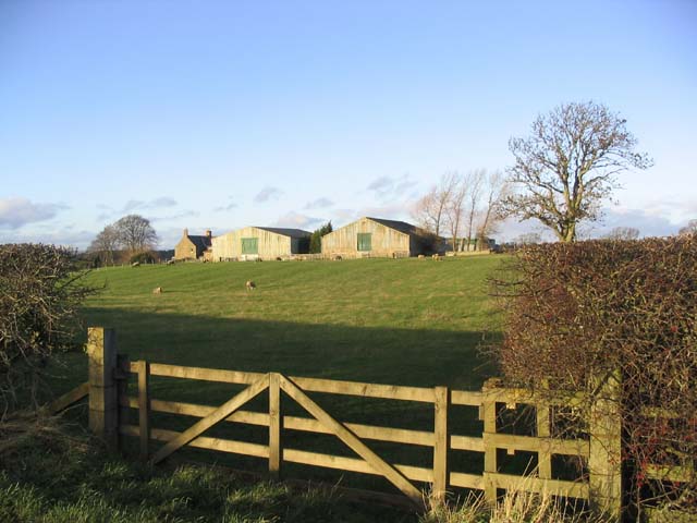
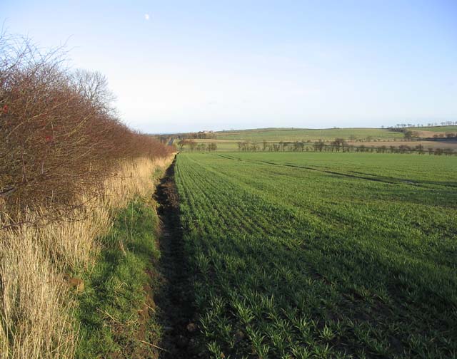
High Wood Images
Images are sourced within 2km of 55.660051/-2.0561437 or Grid Reference NT9640. Thanks to Geograph Open Source API. All images are credited.
High Wood is located at Grid Ref: NT9640 (Lat: 55.660051, Lng: -2.0561437)
Unitary Authority: Northumberland
Police Authority: Northumbria
What 3 Words
///clings.complain.completed. Near Ford, Northumberland
Nearby Locations
Related Wikis

Bowsden
Bowsden is a village and civil parish in Northumberland, England. It is about 6 miles (10 km) to the south of Berwick-upon-Tweed, inland from the North...
Barmoor Castle
Barmoor Castle ( grid reference NT99723988) is a privately owned 19th-century country house built on an ancient site in Northumberland. It is a Grade...

Duddo Tower
Duddo Tower is a Scheduled Ancient Monument and a Grade II listed building comprising the ruinous remains of an ancient pele tower and 16th century tower...
Duddo
Duddo is a village and civil parish in Northumberland, about 8 miles (13 km) southwest of Berwick-upon-Tweed. == History == Duddo Five Stones is a stone...

Lady Waterford Hall
Lady Waterford Hall is the former village school of the estate village of Ford, Northumberland. It is now used as the village hall and is a Grade II* listed...

Ford, Northumberland
Ford is a small village and civil parish in Northumberland, England, about 13 miles (21 km) from Berwick-upon-Tweed. The parish also includes Etal. �...

Ford Castle
Ford Castle is a Grade I listed building situated at a shallow crossing point on the River Till, Ford, Northumberland, England. The castle dates from about...

Heatherslaw Mill
Heatherslaw Mill is a water mill situated on the Ford and Etal Estate, 7 miles north of the town of Wooler in the English county of Northumberland. It...
Nearby Amenities
Located within 500m of 55.660051,-2.0561437Have you been to High Wood?
Leave your review of High Wood below (or comments, questions and feedback).