Hazely Hill
Hill, Mountain in Northumberland
England
Hazely Hill
Hazely Hill is a prominent natural feature located in the county of Northumberland, England. Situated in the northern part of the county, Hazely Hill is part of the scenic landscape that characterizes the region. Standing at an elevation of approximately 250 meters (820 feet), it is classified as a hill rather than a mountain due to its relatively moderate height.
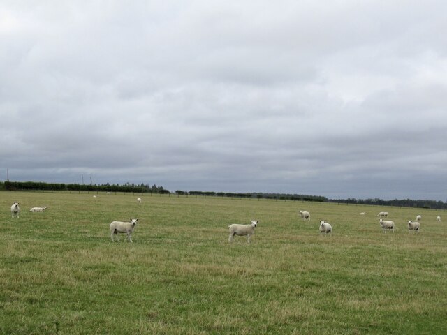
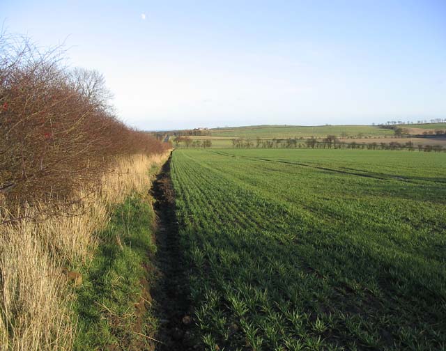
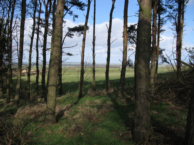
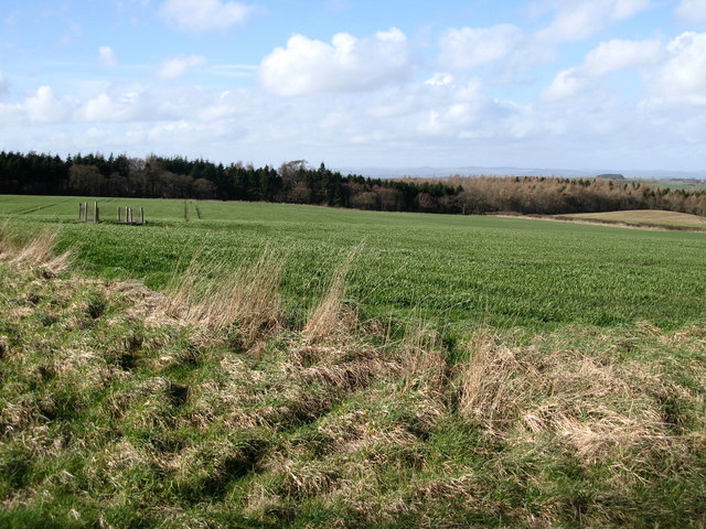
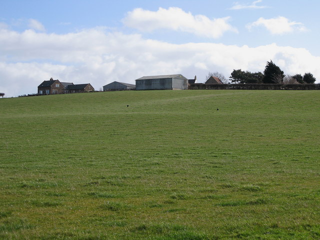
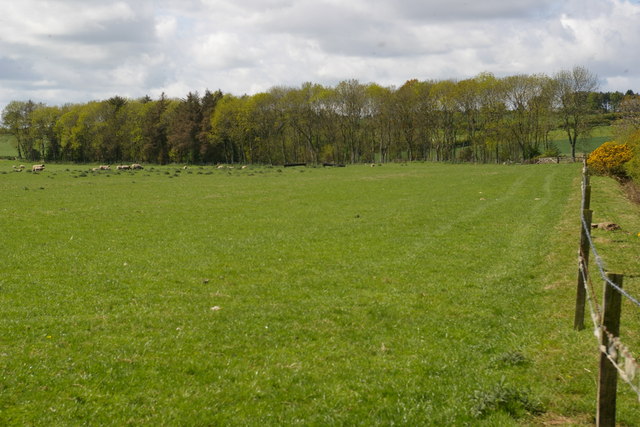
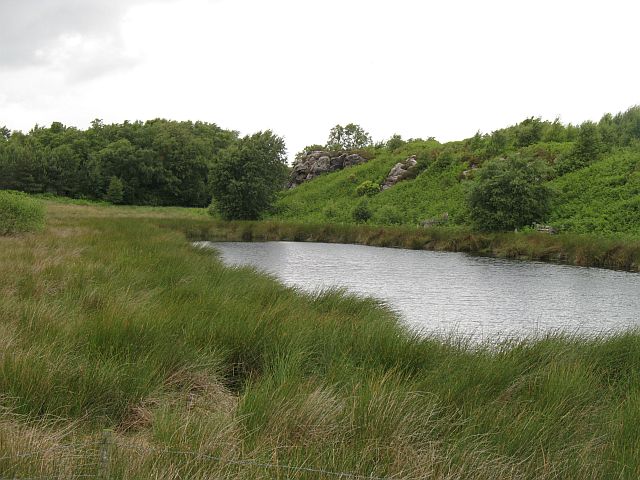
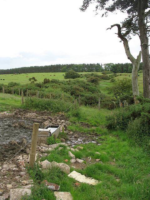
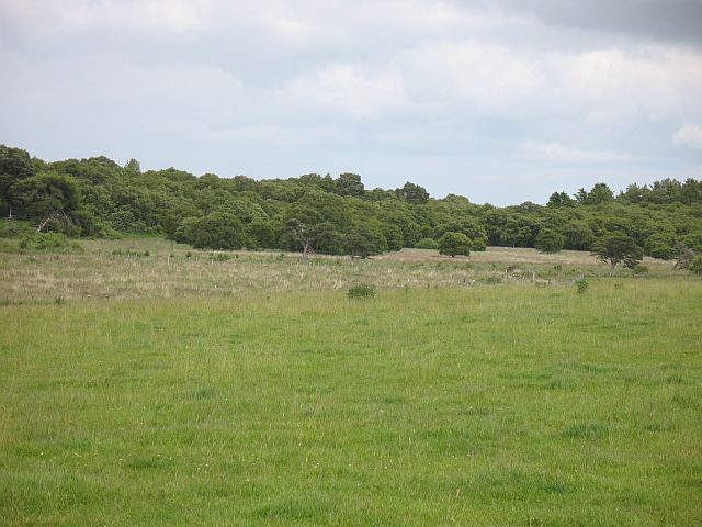
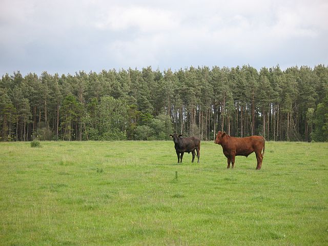
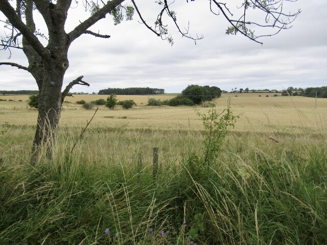
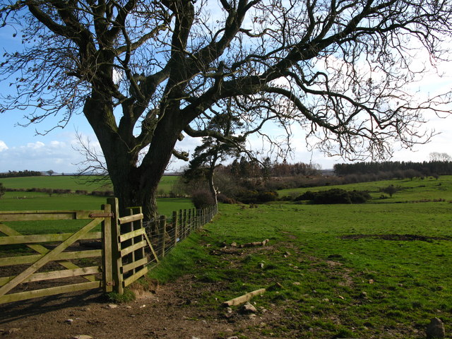
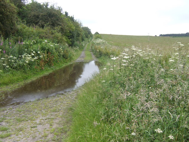
Covered in lush greenery and rolling fields, Hazely Hill offers breathtaking panoramic views of the surrounding countryside. The hill is known for its diverse flora and fauna, with a range of plant species such as heather, gorse, and bracken dotting the landscape. It is also home to various animal species including rabbits, foxes, and a variety of bird species, making it a popular destination for nature enthusiasts and birdwatchers.
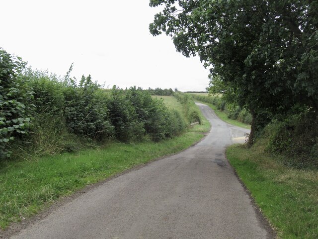
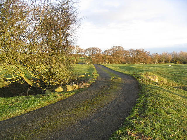
Located near the small village of Hazely, the hill is easily accessible by foot or by car. It offers several walking trails that cater to different fitness levels, allowing visitors to explore its beauty at their own pace. At the summit, visitors are rewarded with stunning vistas stretching across the Northumberland countryside, providing an opportunity to take in the natural beauty of the area.
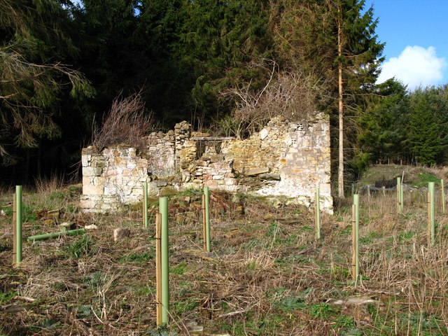
Hazely Hill is not only a natural attraction but also holds historical significance. The area has evidence of human occupation dating back to ancient times, with archaeological remains including burial mounds and Bronze Age settlements. These remnants serve as a testament to the hill's long-standing importance to the local communities throughout history.
In summary, Hazely Hill is a picturesque natural feature in Northumberland, offering visitors a chance to immerse themselves in the region's stunning landscape, diverse wildlife, and rich history.
If you have any feedback on the listing, please let us know in the comments section below.
Hazely Hill Images
Images are sourced within 2km of 55.657005/-2.0568068 or Grid Reference NT9640. Thanks to Geograph Open Source API. All images are credited.
Hazely Hill is located at Grid Ref: NT9640 (Lat: 55.657005, Lng: -2.0568068)
Unitary Authority: Northumberland
Police Authority: Northumbria
What 3 Words
///encodes.sneezed.scrubbing. Near Ford, Northumberland
Nearby Locations
Related Wikis
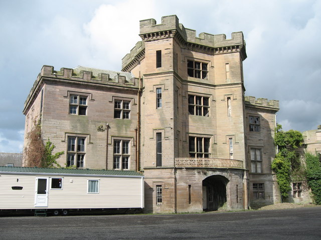
Barmoor Castle
Barmoor Castle ( grid reference NT99723988) is a privately owned 19th-century country house built on an ancient site in Northumberland. It is a Grade...

Bowsden
Bowsden is a village and civil parish in Northumberland, England. It is about 6 miles (10 km) to the south of Berwick-upon-Tweed, inland from the North...

Lady Waterford Hall
Lady Waterford Hall is the former village school of the estate village of Ford, Northumberland. It is now used as the village hall and is a Grade II* listed...

Ford, Northumberland
Ford is a small village and civil parish in Northumberland, England, about 13 miles (21 km) from Berwick-upon-Tweed. The parish also includes Etal. �...

Duddo Tower
Duddo Tower is a Scheduled Ancient Monument and a Grade II listed building comprising the ruinous remains of an ancient pele tower and 16th century tower...

Ford Castle
Ford Castle is a Grade I listed building situated at a shallow crossing point on the River Till, Ford, Northumberland, England. The castle dates from about...
Duddo
Duddo is a village and civil parish in Northumberland, about 8 miles (13 km) southwest of Berwick-upon-Tweed. == History == Duddo Five Stones is a stone...

Heatherslaw Mill
Heatherslaw Mill is a water mill situated on the Ford and Etal Estate, 7 miles north of the town of Wooler in the English county of Northumberland. It...
Have you been to Hazely Hill?
Leave your review of Hazely Hill below (or comments, questions and feedback).