Coonlands Hill

Hill, Mountain in Yorkshire Craven

England

Coonlands Hill

The Devonshire Arms - Cracoe
The Devonshire Arms - Cracoe Credit: Anthony Parkes

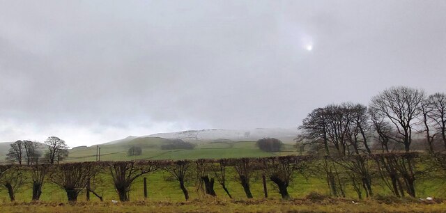
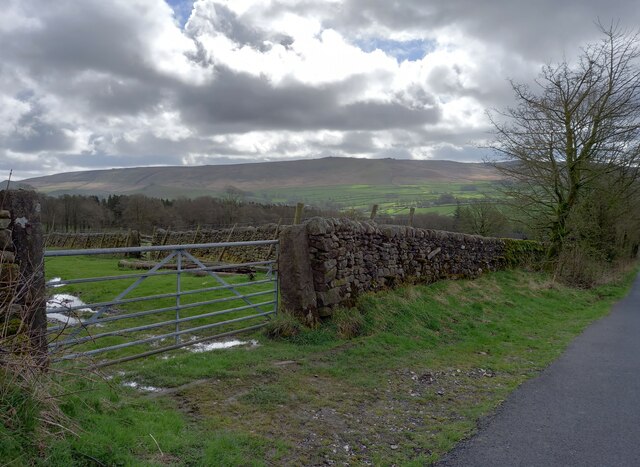
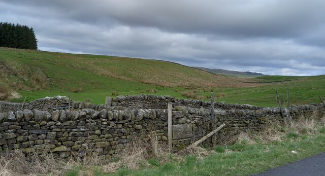
Coonlands Hill, located in Yorkshire, England, is a prominent hill that stands at an elevation of approximately 350 meters above sea level. Situated in the picturesque countryside, it offers breathtaking views of the surrounding landscape and is a popular destination for nature enthusiasts and hikers alike.

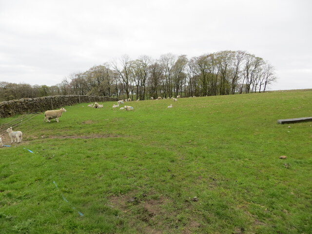
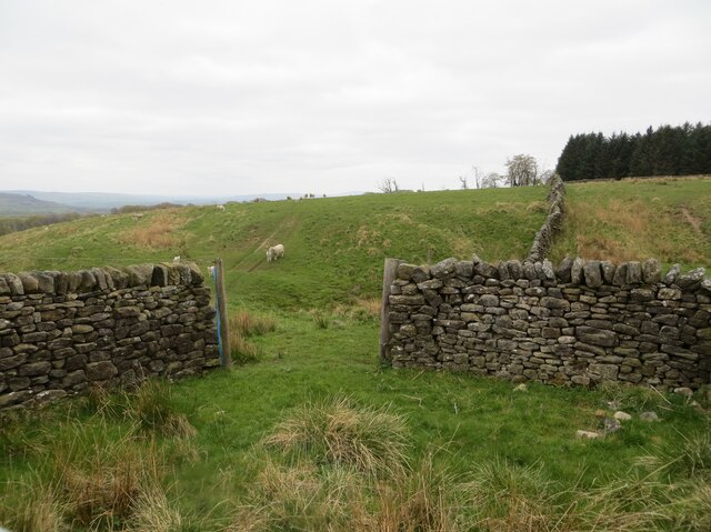
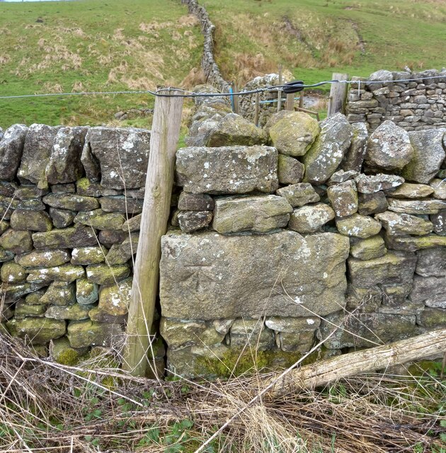
The hill is characterized by its gently sloping sides, covered in lush green grass and scattered with clusters of trees, which give it a serene and tranquil ambiance. Its well-maintained footpaths and trails make it accessible for walkers of all abilities, providing ample opportunities to explore the area's natural beauty.

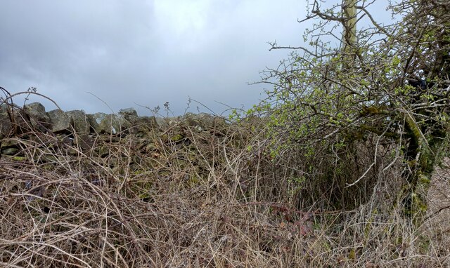
Coonlands Hill is known for its diverse flora and fauna, with a variety of plants and wildlife inhabiting its slopes. It is home to numerous species of birds, including pheasants, kestrels, and owls, making it a haven for birdwatchers. Additionally, the hill boasts an abundance of wildflowers during the spring and summer seasons, creating a colorful and vibrant landscape.

The hill's strategic location offers visitors breathtaking panoramic views of the surrounding Yorkshire countryside. On clear days, one can see rolling hills, meandering rivers, and quaint villages in the distance, providing a sense of peace and tranquility.

Coonlands Hill, with its natural beauty, diverse wildlife, and panoramic vistas, is a must-visit destination for those seeking a refreshing escape into nature. Whether it's a leisurely stroll or a more challenging hike, this Yorkshire gem offers a memorable experience for all who venture to its summit.

If you have any feedback on the listing, please let us know in the comments section below.

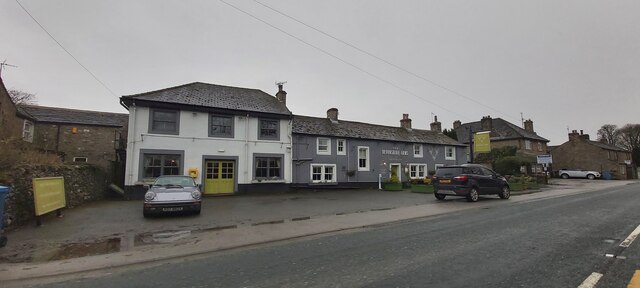
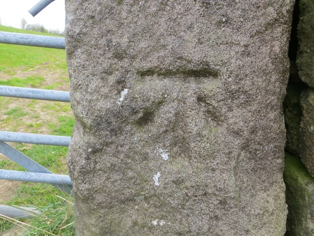
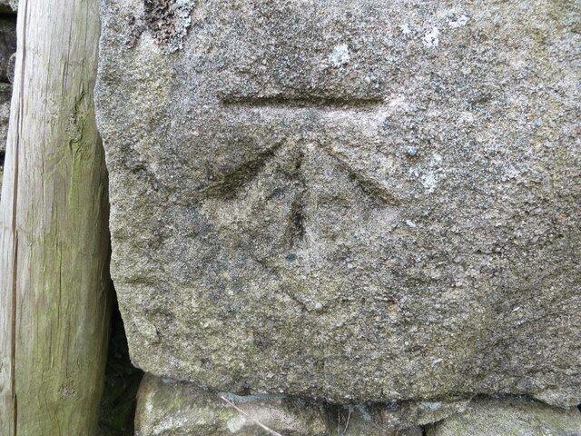
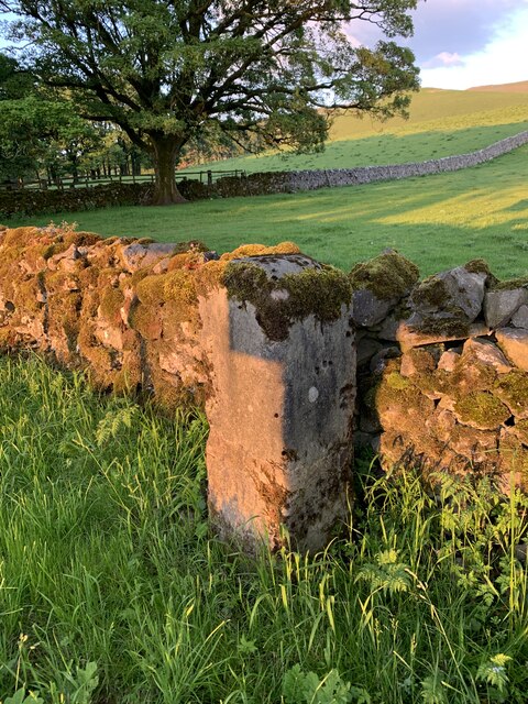
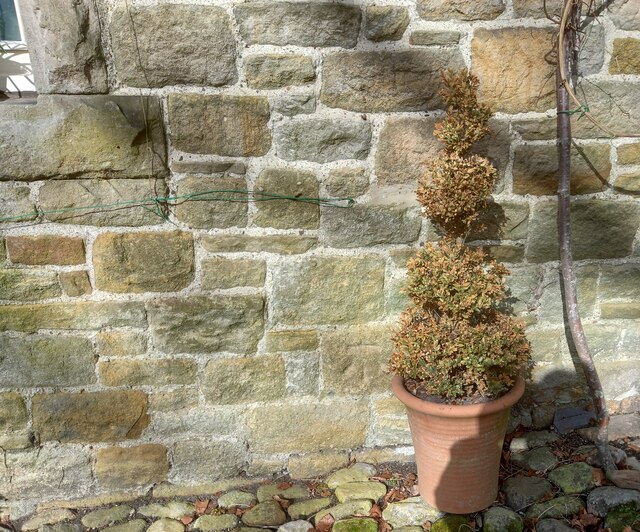
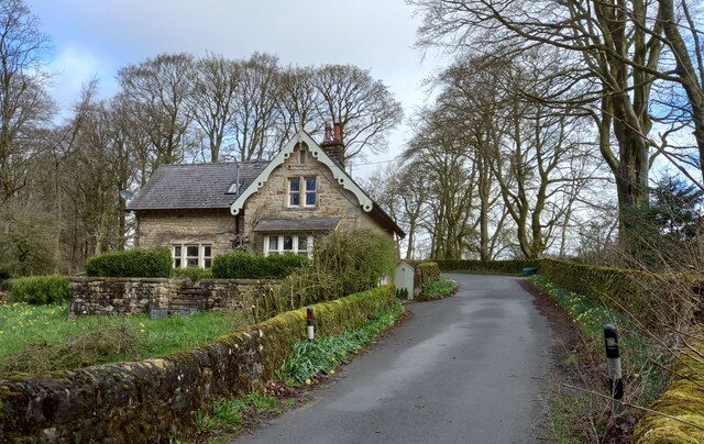
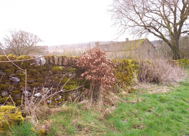
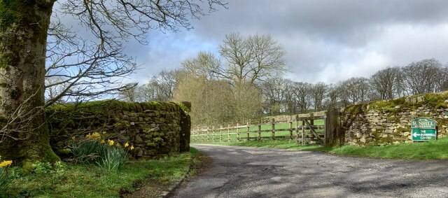
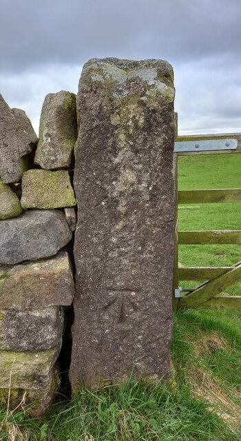
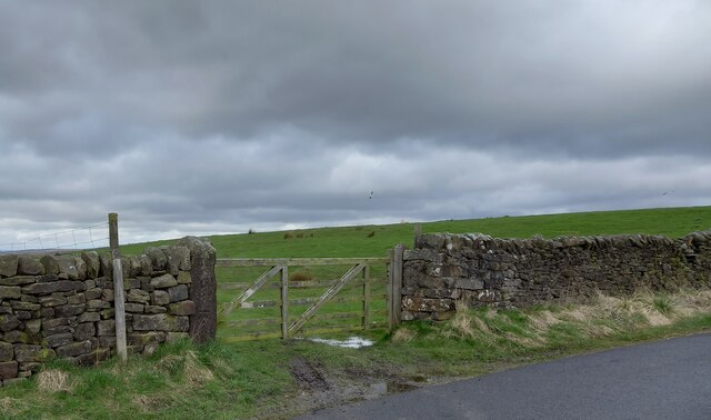
Coonlands Hill Images

Images are sourced within 2km of 54.032914/-2.0541324 or Grid Reference SD9659. Thanks to Geograph Open Source API. All images are credited.

The Devonshire Arms - Cracoe
Fields at Cracoe Green
Pastureland hosting sheep and lambs Looking south-westward from Fleets Lane towards Sunhill Gill Plantation.
Pastureland hosting sheep and lambs
Looking south-westward from Fleets Lane towards Sunhill Gill Plantation.
Sheepfold with access to and from upland pasture Looking south-westward from Boss Moor Lane.
Sheepfold with access to and from upland pasture
Looking south-westward from Boss Moor Lane.
Ordnance Survey Cut Mark This mark can be found on a gatepost near Sunhill beside Fleets/Boss Moor Lane.
The recorded details give a height of 252.6396 metres above sea level.
For more detail see : <span class="nowrap"><a title="https://www.bench-marks.org.uk/bm42978" rel="nofollow ugc noopener" href="https://www.bench-marks.org.uk/bm42978">Link</a><img style="margin-left:2px;" alt="External link" title="External link - shift click to open in new window" src="https://s1.geograph.org.uk/img/external.png" width="10" height="10"/></span>
Ordnance Survey Cut Mark
This mark can be found on a gatepost near Sunhill beside Fleets/Boss Moor Lane. The recorded details give a height of 252.6396 metres above sea level. For more detail see : LinkExternal link
Ordnance Survey Cut Mark This mark can be found on the wall of a sheepfold beside Boss Moor Lane.
The recorded details give a height of 281.5042 metres above sea level.
For more detail see : <span class="nowrap"><a title="https://www.bench-marks.org.uk/bm42977" rel="nofollow ugc noopener" href="https://www.bench-marks.org.uk/bm42977">Link</a><img style="margin-left:2px;" alt="External link" title="External link - shift click to open in new window" src="https://s1.geograph.org.uk/img/external.png" width="10" height="10"/></span>
Ordnance Survey Cut Mark
This mark can be found on the wall of a sheepfold beside Boss Moor Lane. The recorded details give a height of 281.5042 metres above sea level. For more detail see : LinkExternal link
Old Milestone by B6265, North of Cracoe at Junction with Thorpe Lane The milestone is located on the verge behind the chevron sign on the south east side of the road.  Parish of Cracoe (Craven District). Carved stone post, erected in the 18th Century. Broken across 50cm from base, now cemented together; was to north of lane, demolished, repaired twice, so resited on south east side. An earlier photograph can be found here: <a title="https://www.geograph.org.uk/photo/6738011" href="https://www.geograph.org.uk/photo/6738011">Link</a> 

Inscription reads:-  
To / Grassingt(on) / (3) / K(ettle)well / To / Skipton / 6 miles 

Milestone Society National ID: YN_SKKT06
Old Milestone by B6265, North of Cracoe at Junction with Thorpe Lane
The milestone is located on the verge behind the chevron sign on the south east side of the road.  Parish of Cracoe (Craven District). Carved stone post, erected in the 18th Century. Broken across 50cm from base, now cemented together; was to north of lane, demolished, repaired twice, so resited on south east side. An earlier photograph can be found here: Link  Inscription reads:- To / Grassingt(on) / (3) / K(ettle)well / To / Skipton / 6 miles Milestone Society National ID: YN_SKKT06
Fleets, Fleets Cottage The benchmark is cut into the east facing wall of the cottage, which is on the west side of the lane.
Fleets, Fleets Cottage
The benchmark is cut into the east facing wall of the cottage, which is on the west side of the lane.
Fleets, Fleets Cottage There is a benchmark cut into the east facing wall of the cottage, which is on the west side of the lane.
Fleets, Fleets Cottage
There is a benchmark cut into the east facing wall of the cottage, which is on the west side of the lane.
Fleets, Fleets Lane According to the OS benchmark database there is a pivot benchmark at this location cut into the roadside wall on the east side of the lane. Nothing was found.
Fleets, Fleets Lane
According to the OS benchmark database there is a pivot benchmark at this location cut into the roadside wall on the east side of the lane. Nothing was found.
Sunhill Centre, Fleets Lane According to the OS benchmark database there is a benchmark cut into a gatepost at the drive entrance. Nothing was found.
Sunhill Centre, Fleets Lane
According to the OS benchmark database there is a benchmark cut into a gatepost at the drive entrance. Nothing was found.
Fleets, Boss Moor Lane The benchmark is cut into a right hand gatepost at a field entrance on the east side of the lane.
Fleets, Boss Moor Lane
The benchmark is cut into a right hand gatepost at a field entrance on the east side of the lane.
Fleets, Boss Moor Lane There is a benchmark cut into the right hand gatepost at the field entrance on the east side of the lane.
Fleets, Boss Moor Lane
There is a benchmark cut into the right hand gatepost at the field entrance on the east side of the lane.
Fleets, Boss Moor Lane According to the OS benchmark database there is a benchmark cut into the roadside wall at this location on the west side of the lane. No search was made due to the thick brambles guarding the wall.
Fleets, Boss Moor Lane
According to the OS benchmark database there is a benchmark cut into the roadside wall at this location on the west side of the lane. No search was made due to the thick brambles guarding the wall.
Fleets, Boss Moor Lane The benchmark is cut into the roadside wall on the west side of the lane at a wall junction.
Fleets, Boss Moor Lane
The benchmark is cut into the roadside wall on the west side of the lane at a wall junction.
Fleets, Boss Moor Lane There is a benchmark cut into the roadside wall on the west side of the lane at a wall junction.
Fleets, Boss Moor Lane
There is a benchmark cut into the roadside wall on the west side of the lane at a wall junction.
Fleets, Boss Moor Lane The benchmark is cut into a left hand gatepost on the west side of the lane.
Fleets, Boss Moor Lane
The benchmark is cut into a left hand gatepost on the west side of the lane.
Fleets, Boss Moor Lane There is a benchmark cut into the left hand gatepost on the west side of the lane.
Fleets, Boss Moor Lane
There is a benchmark cut into the left hand gatepost on the west side of the lane.
Show me another place!

Coonlands Hill is located at Grid Ref: SD9659 (Lat: 54.032914, Lng: -2.0541324)

Division: West Riding

Administrative County: North Yorkshire

District: Craven

Police Authority: North Yorkshire

What 3 Words

///depth.trusts.insiders. Near Grassington, North Yorkshire

Related Wikis

Rylstone railway station

Rylstone railway station was a railway station that served the small village of Rylstone in North Yorkshire, England. It was built by the Yorkshire Dales...

St Peter's Church, Rylstone

St Peter's Church is in the village of Rylstone, North Yorkshire, England. It is an active Anglican parish church in the deanery of Skipton, the archdeaconry...

Rylstone

Rylstone is a village and civil parish in the Craven district of North Yorkshire, England. It is situated very near to Cracoe and about 6 miles south west...

Hetton, North Yorkshire

Hetton is a small Dales village in the civil parish of Hetton-cum-Bordley, in the North Yorkshire district of North Yorkshire, England, situated 5.75 miles...

Cracoe

Cracoe is a small village and civil parish in the Craven district of North Yorkshire, England. It is situated near to Rylstone and about 6 miles south...

Winterburn Reservoir

Winterburn Reservoir is located near the village of Winterburn in Malhamdale, North Yorkshire, England. It was constructed between 1885 and 1893 by Leeds...

Swinden Quarry

Swinden Quarry is 0.62 miles (1 km) north of the village of Cracoe, and 1.9 miles (3 km) south-west of Grassington in North Yorkshire, England. It is owned...

Winterburn

Winterburn is a village in the Craven district of North Yorkshire, England. It is about 5 miles (8 km) south west of Grassington. Winterburn Reservoir...

Nearby Amenities

Located within 500m of 54.032914,-2.0541324
Rylstone
Historic Railway: station
Railway: site
Wikidata: Q7385186
Lat/Long: 54.03101/-2.0531936
Coonlands Laithe
Building: yes
Is In Country Code: GB
Is In County: North Yorkshire
Is In Historic County: Yorkshire
Is In Municipality: Craven
Lat/Long: 54.0328336/-2.0497917
Railway: level_crossing
Lat/Long: 54.0307768/-2.0532074
Power: pole
Source: EsriWorldImageryClarity
Lat/Long: 54.0323121/-2.0467349
Power: pole
Source: EsriWorldImageryClarity
Lat/Long: 54.0307084/-2.0485159
Power: pole
Source: EsriWorldImageryClarity
Lat/Long: 54.0292432/-2.0502057
Power: pole
Source: EsriWorldImageryClarity
Lat/Long: 54.0315024/-2.0475771
Power: pole
Source: EsriWorldImageryClarity
Lat/Long: 54.0299429/-2.0494764
Coonlands Hill
Natural: peak
Source: OS sheet 150, publ 1853
Lat/Long: 54.033024/-2.0545785
Railway: crossing
Source: EsriWorldImageryClarity
Lat/Long: 54.0342455/-2.0504783
Power: pole
Lat/Long: 54.028731/-2.0556933
Power: pole
Lat/Long: 54.0295392/-2.0552239
Power: pole
Lat/Long: 54.0303017/-2.0547545
Power: pole
Lat/Long: 54.0311099/-2.0542851
Power: pole
Lat/Long: 54.031907/-2.0537862
Power: pole
Lat/Long: 54.0327215/-2.0533168
Power: pole
Lat/Long: 54.0335359/-2.052834
Power: pole
Lat/Long: 54.0363973/-2.0493177
Power: pole
Lat/Long: 54.0340747/-2.0516163
Power: pole
Lat/Long: 54.0346685/-2.0502859
Power: pole
Lat/Long: 54.0352671/-2.0489019
The data included in this document is from www.openstreetmap.org. The data is made available under ODbL.

Have you been to Coonlands Hill?

Leave your review of Coonlands Hill below (or comments, questions and feedback).