Darby's Hill
Hill, Mountain in Staffordshire
England
Darby's Hill
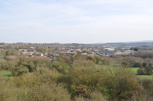
Darby's Hill is a prominent landmark located in Staffordshire, England. It is situated in the southern part of the county, near the town of Burton upon Trent. Although referred to as a hill, it is more accurately described as a small mountain due to its significant elevation and distinctive shape.
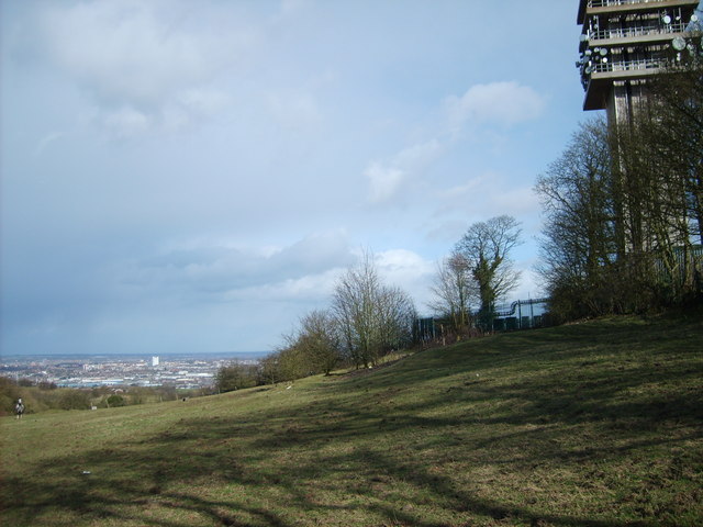
Rising to a height of approximately 200 meters (656 feet), Darby's Hill offers breathtaking views of the surrounding countryside. Its slopes are covered in lush greenery and dotted with trees, creating a picturesque landscape that attracts both locals and tourists alike.
The hill takes its name from the Darby family, who were prominent landowners in the area during the 19th century. Their influence is still visible today, as the hilltop is home to a small stone monument dedicated to the family's legacy.
The summit of Darby's Hill can be reached via a well-maintained footpath that winds its way up the incline. The trail is suitable for hikers and nature enthusiasts of all levels, offering a moderate challenge without being overly strenuous. Along the way, visitors can spot various species of birds and wildflowers, adding to the natural beauty of the area.
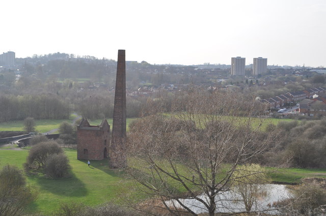
Darby's Hill is also known for its historical significance. It is believed to have been a site of ancient settlements, with archaeological evidence suggesting human presence dating back thousands of years. The hill's rich history and stunning vistas make it a popular destination for those seeking a blend of nature, adventure, and cultural exploration in Staffordshire.
If you have any feedback on the listing, please let us know in the comments section below.
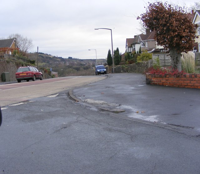
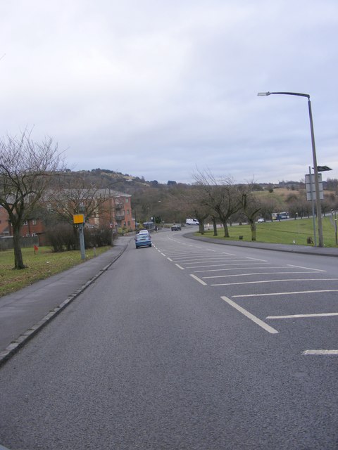
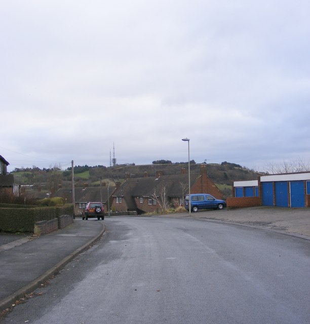
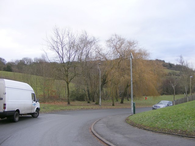
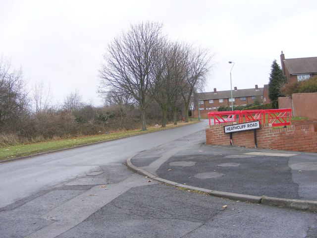
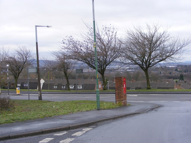
Darby's Hill Images
Images are sourced within 2km of 52.502102/-2.0522089 or Grid Reference SO9689. Thanks to Geograph Open Source API. All images are credited.
Darby's Hill is located at Grid Ref: SO9689 (Lat: 52.502102, Lng: -2.0522089)
Unitary Authority: Sandwell
Police Authority: West Midlands
What 3 Words
///upper.lifts.doing. Near Rowley Regis, West Midlands
Nearby Locations
Related Wikis

Oakham, West Midlands
Oakham is an area of Dudley, England, situated on the peak of Turners Hill, the highest point in the West Midlands county. All of the area was historically...
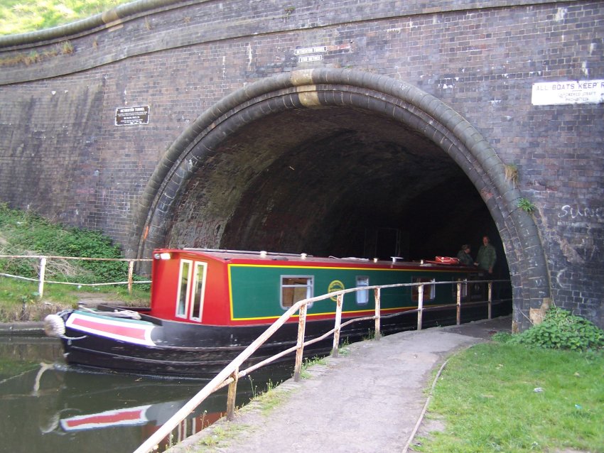
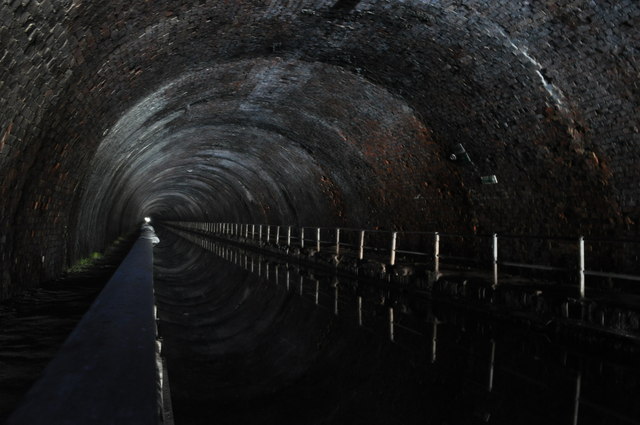
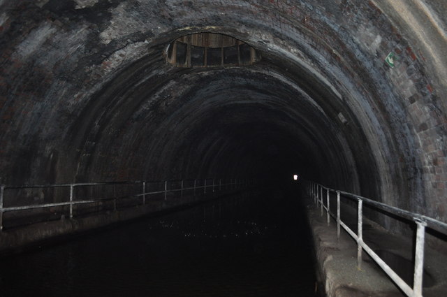
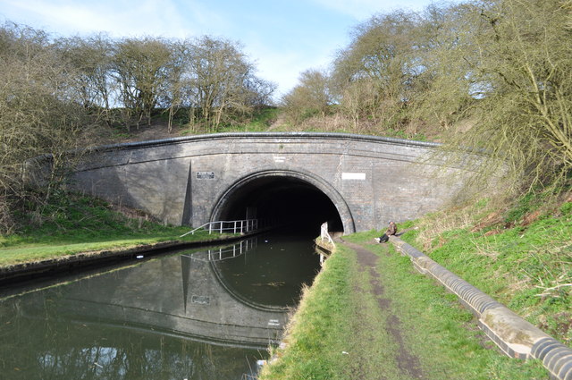
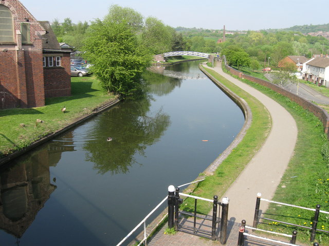
Netherton Tunnel Branch Canal
Netherton Tunnel Branch Canal, in the West Midlands county, England, is part of the Birmingham Canal Navigations, (BCN). It was constructed at a 453–foot...
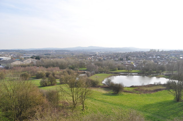
Rowley Hills
The Rowley Hills are a range of hills in the West Midlands county in England. The range comprises Turner's Hill, Bury Hill, Portway Hill and Darby's Hill...
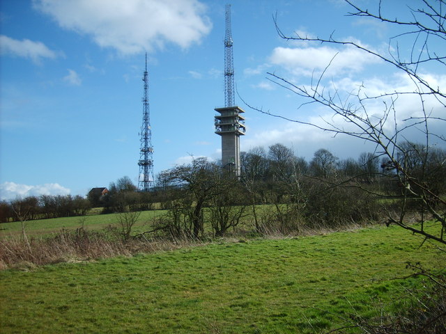
Turners Hill Transmitter
Turners Hill Transmitter refers to a pair of free-standing radio and television towers on Turners Hill, on the border of Dudley and Rowley Regis in the...
Turners Hill, West Midlands
Turners Hill or Turner's Hill is the highest hill in the county of West Midlands, United Kingdom at 271 metres (889 ft) above sea level. The hill is in...
Brades Village
Brades Village is an area of Oldbury, West Midlands, England. Population details as taken at the 2011 census can be found under the Tividale ward of Sandwell...
Tividale F.C.
Tividale Football Club is a football club based in Tividale, near Dudley, West Midlands, England. They were established in 1954. In the 2011–12 season...

Smethwick Khalsa Football Federation F.C.
Smethwick Rangers Football Club is a football club based in Smethwick, West Midlands, England. They are currently members of the Midland League Division...
Nearby Amenities
Located within 500m of 52.502102,-2.0522089Have you been to Darby's Hill?
Leave your review of Darby's Hill below (or comments, questions and feedback).