Brown Hill
Hill, Mountain in Yorkshire Craven
England
Brown Hill

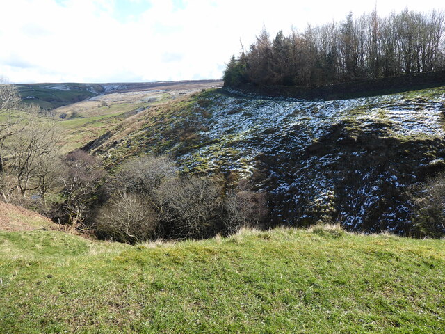
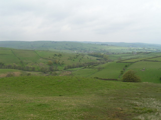
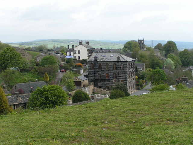
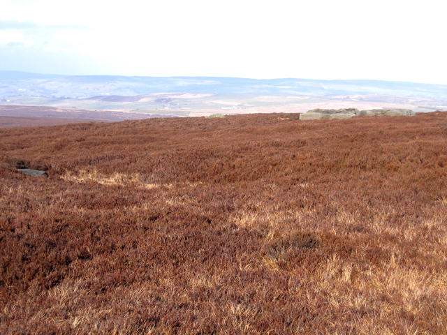
Brown Hill is a prominent geographical feature located in Yorkshire, England. Rising to a height of approximately 400 meters above sea level, it is commonly referred to as a hill rather than a mountain due to its modest elevation. Situated within the beautiful landscape of the Yorkshire Dales National Park, Brown Hill offers stunning panoramic views of the surrounding countryside.
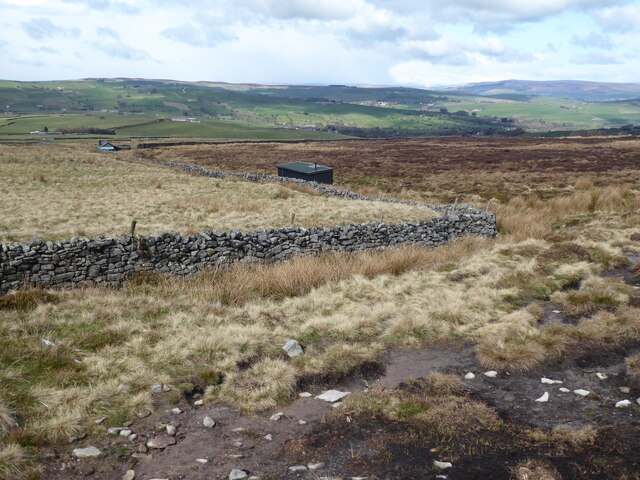
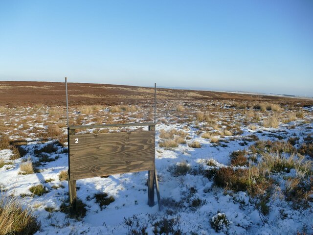
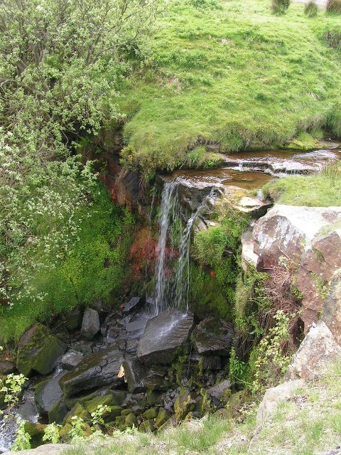
The hill is characterized by its gentle slopes and is covered in lush green vegetation, predominantly consisting of grasses and shrubs. The varied flora creates a vibrant and picturesque scene, particularly during the spring and summer months when the wildflowers are in full bloom.
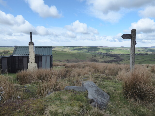
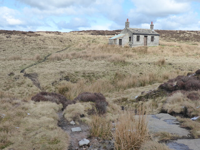
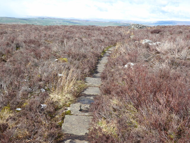
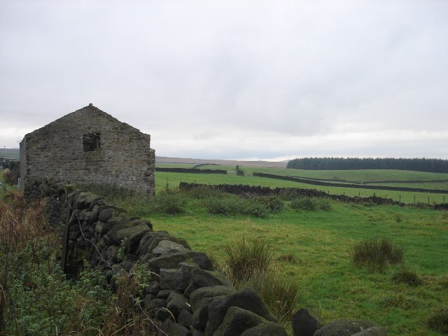
Brown Hill is a popular destination for outdoor enthusiasts, attracting hikers, walkers, and nature lovers alike. Numerous footpaths and trails crisscross the hill, allowing visitors to explore its diverse terrain and take in the breathtaking vistas. The hill's accessible location and well-maintained paths make it an ideal destination for individuals of all fitness levels.
The summit of Brown Hill offers a commanding view of the surrounding landscape, with rolling hills, meandering rivers, and quaint villages visible in the distance. On a clear day, it is even possible to see as far as the Yorkshire coast.
Overall, Brown Hill is a captivating natural feature, offering a tranquil escape from the hustle and bustle of everyday life. Its accessibility, scenic beauty, and recreational opportunities make it a must-visit destination for those seeking to immerse themselves in Yorkshire's stunning countryside.
If you have any feedback on the listing, please let us know in the comments section below.
Brown Hill Images
Images are sourced within 2km of 53.865248/-2.0543405 or Grid Reference SD9641. Thanks to Geograph Open Source API. All images are credited.


Brown Hill is located at Grid Ref: SD9641 (Lat: 53.865248, Lng: -2.0543405)
Division: West Riding
Administrative County: North Yorkshire
District: Craven
Police Authority: North Yorkshire
What 3 Words
///cabbies.army.test. Near Glusburn, North Yorkshire
Nearby Locations
Related Wikis
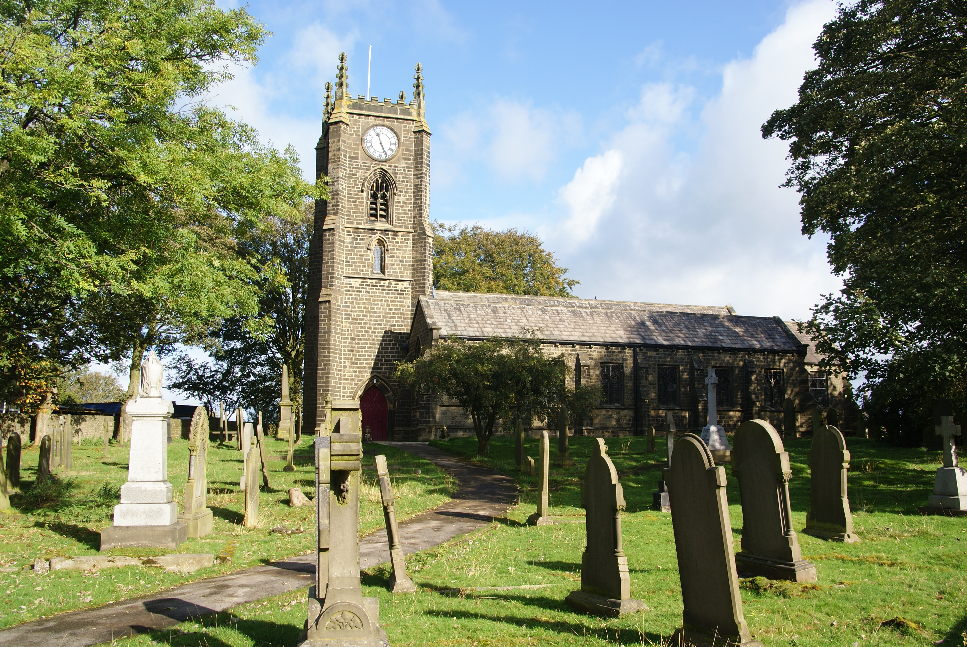
Cowling, Craven
Cowling is a village, electoral division and civil parish in the Craven district of North Yorkshire, England. It is situated on the borders with the adjacent...

Middleton, Cowling
Middleton is a hamlet in the Craven district of North Yorkshire, England, part of the civil parish of Cowling. It is near the border with West Yorkshire...

The Hitching Stone
The Hitching Stone is a gritstone erratic block on Keighley Moor, North Yorkshire, near Earl Crag and the village of Cowling. It is very close to the...

Wainman's Pinnacle
Wainman's Pinnacle, originally built as a folly (and still used as a folly), is a stone obelisk in Sutton-in-Craven, North Yorkshire. It tends to be referred...
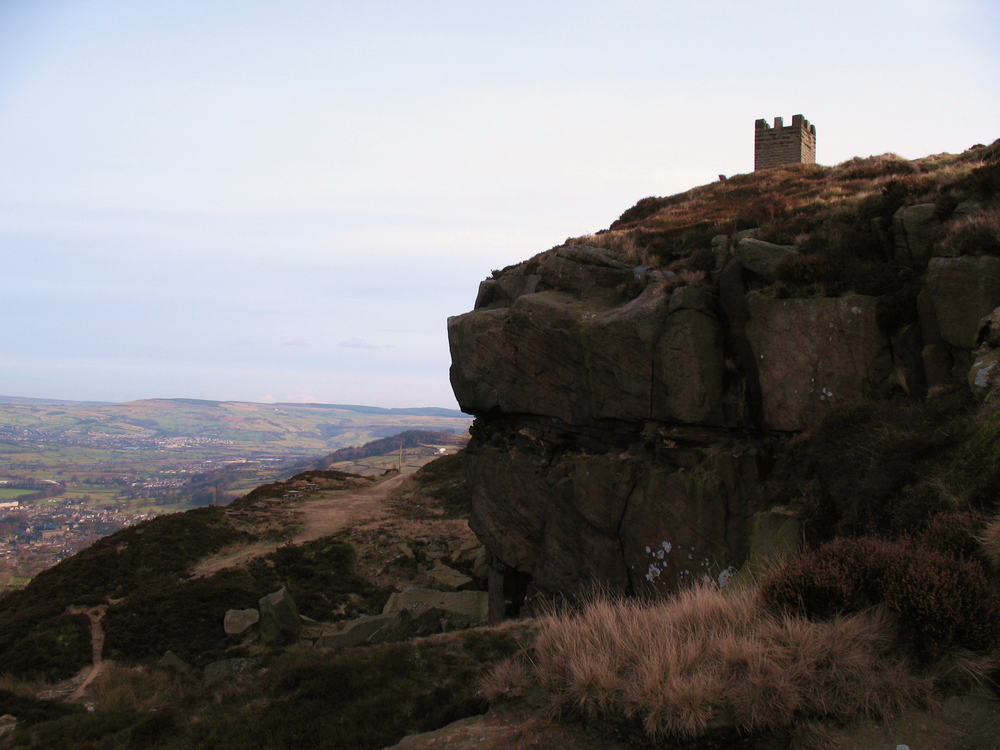
Earl Crag
Earl Crag is a gritstone crag and climbing area in Craven, North Yorkshire, England. It is home to Lund's Tower, Wainman's Pinnacle, and The Hitching...

Watersheddles Reservoir
Watersheddles Reservoir is an upland artificial lake in Lancashire, England. The reservoir was opened in 1877 by the Keighley Corporation Water Works,...
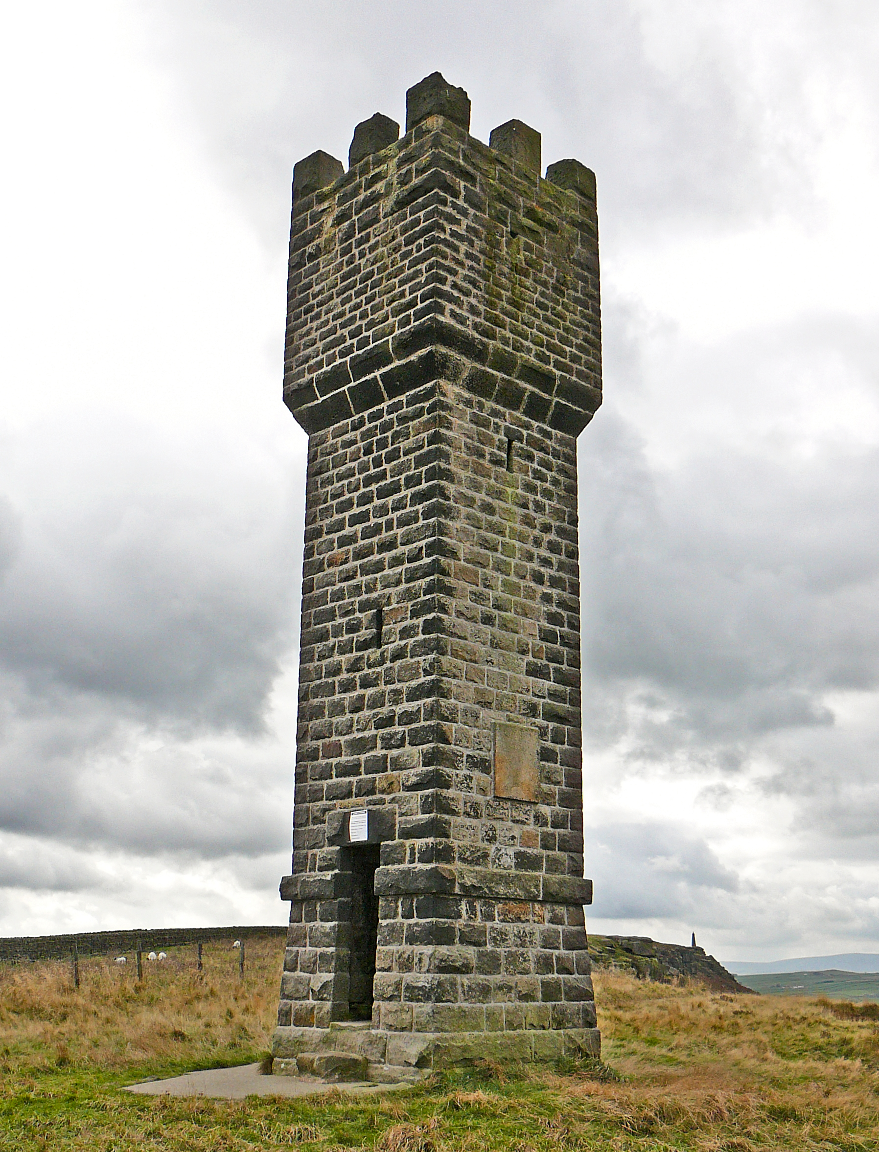
Lund's Tower
Lund's Tower is a stone-built folly situated to the south-west of the North Yorkshire village of Sutton-in-Craven. It is also known as Cowling Pinnacle...

Wycoller Beck
Wycoller Beck is a stream in Lancashire, running through Wycoller Country Park and the village of Wycoller in Pendle. It is 3.76 miles (6.05 km) long and...
Nearby Amenities
Located within 500m of 53.865248,-2.0543405Have you been to Brown Hill?
Leave your review of Brown Hill below (or comments, questions and feedback).