Stansfield Moor
Downs, Moorland in Yorkshire
England
Stansfield Moor
Stansfield Moor, located in the county of Yorkshire, England, is a vast expanse of rugged and picturesque landscape that is predominantly characterized by its downs and moorland. Spanning over several square miles, this area is renowned for its natural beauty, providing a haven for outdoor enthusiasts and nature lovers.
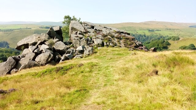
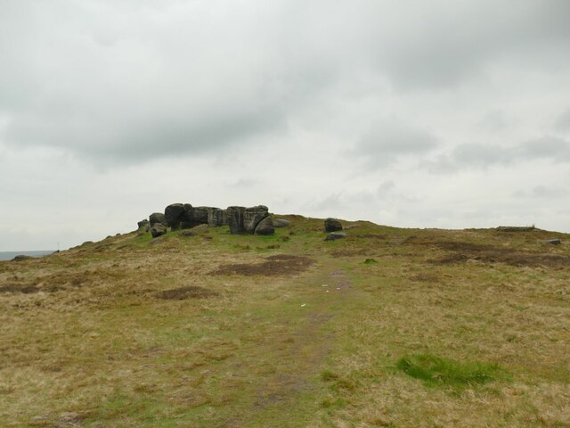
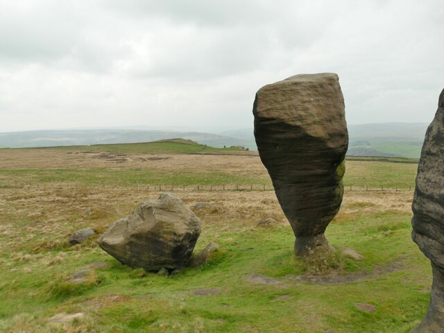
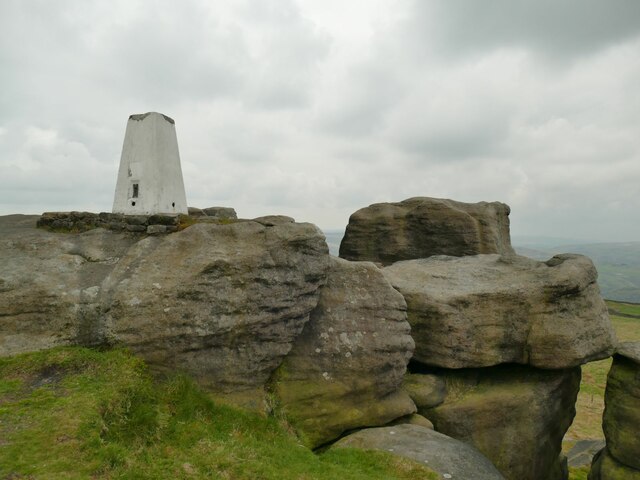
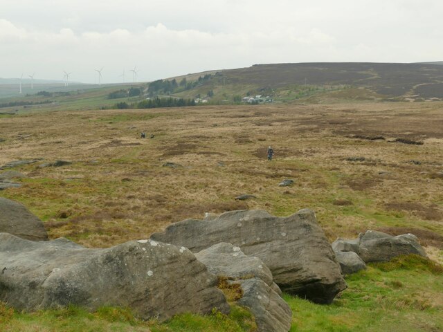
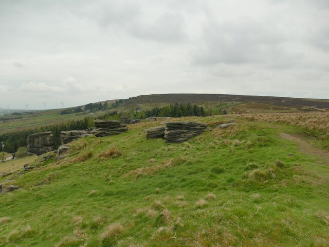
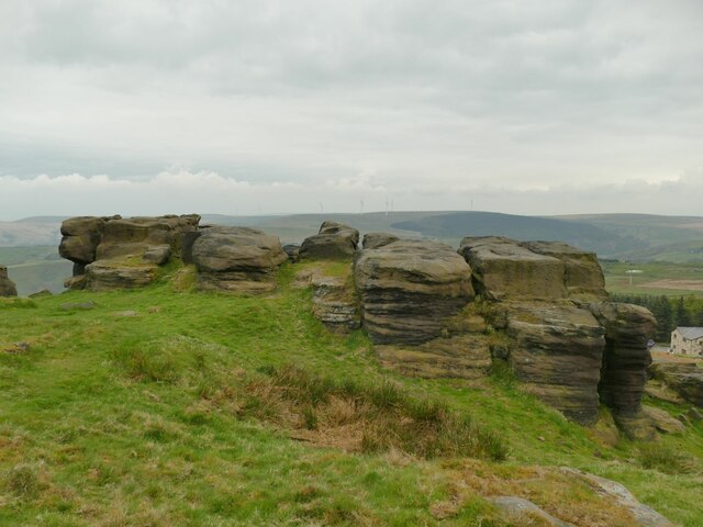
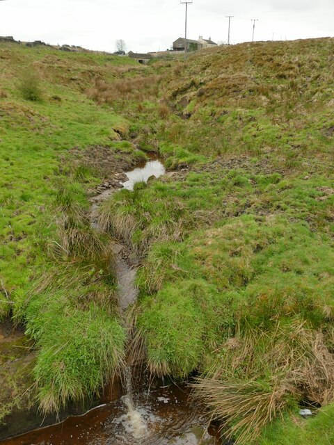
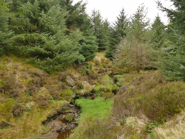
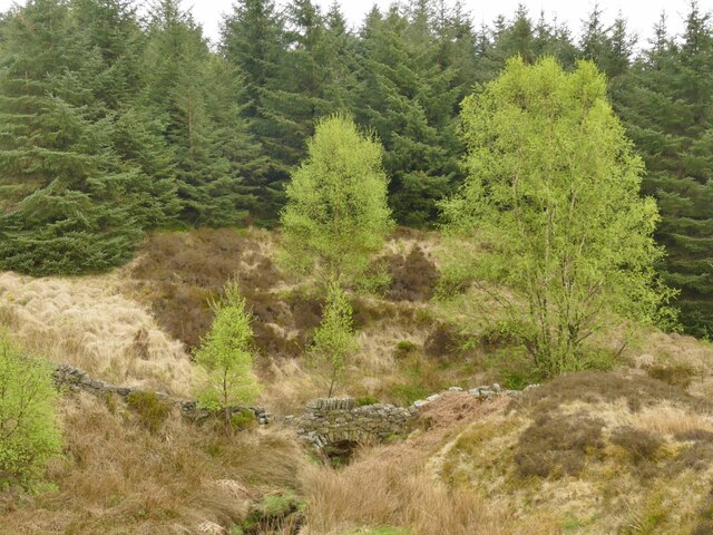
The moorland of Stansfield Moor is marked by its open, rolling hills, interspersed with patches of heather and grasses, creating a rich tapestry of colors throughout the seasons. The area is home to a variety of plant and animal species, including heathland birds such as curlews and lapwings, as well as rare insect species like the emperor moth.
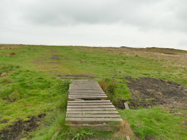
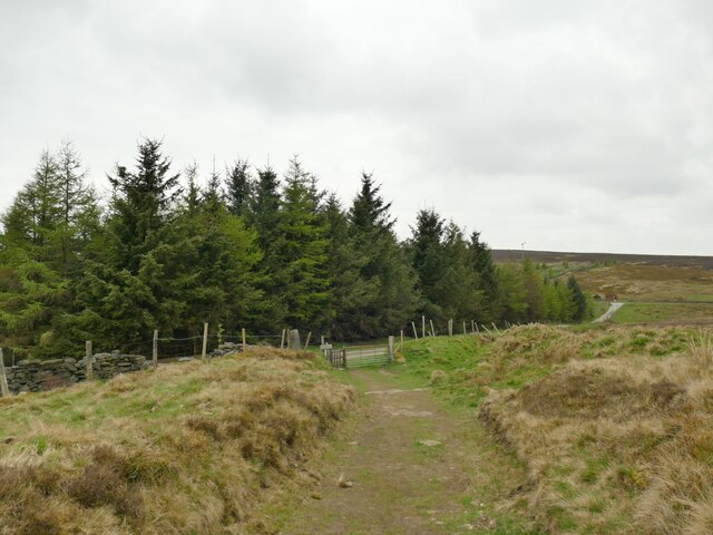
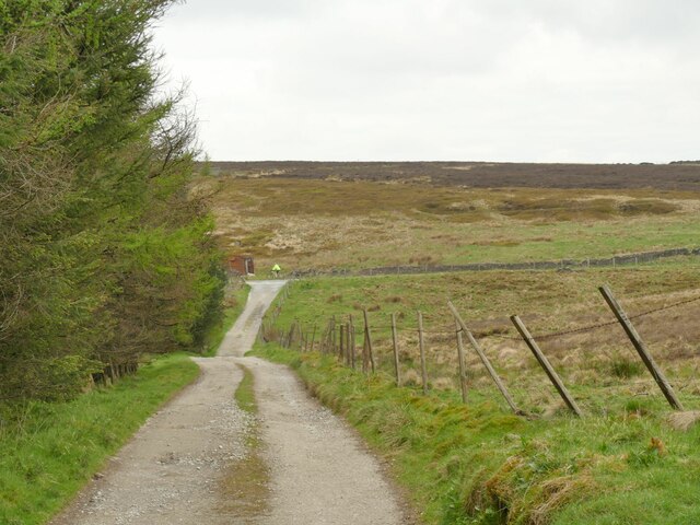
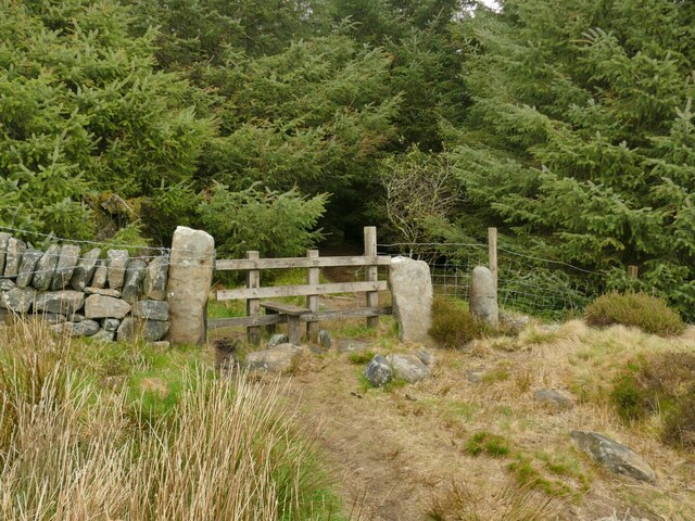
The downs of Stansfield Moor offer breathtaking views of the surrounding countryside, with their gentle slopes and expansive vistas. Visitors can enjoy peaceful walks along the well-maintained footpaths that crisscross the area, taking in the sweeping panoramas and the tranquility of the natural surroundings. It is not uncommon to encounter grazing sheep or cattle along these paths, adding to the rural charm of the landscape.
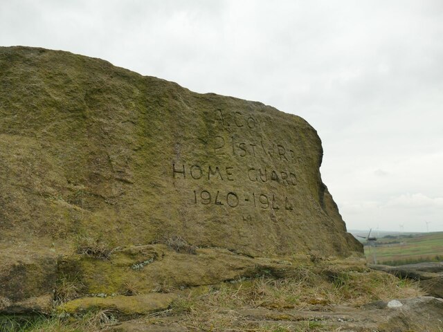
Stansfield Moor is also of historical significance, with remnants of ancient settlements and burial grounds dating back to the Bronze Age. These archaeological sites provide valuable insights into the area's past and offer a glimpse into the lives of its early inhabitants.
Overall, Stansfield Moor in Yorkshire is a captivating destination that showcases the raw beauty of the region's downs and moorland. Its unspoiled nature, rich biodiversity, and historical significance make it a must-visit location for those seeking a connection with the natural world and a glimpse into the past.
If you have any feedback on the listing, please let us know in the comments section below.
Stansfield Moor Images
Images are sourced within 2km of 53.749556/-2.1156513 or Grid Reference SD9228. Thanks to Geograph Open Source API. All images are credited.


Stansfield Moor is located at Grid Ref: SD9228 (Lat: 53.749556, Lng: -2.1156513)
Division: West Riding
Unitary Authority: Calderdale
Police Authority: West Yorkshire
What 3 Words
///codes.resting.polka. Near Cornholme, West Yorkshire
Nearby Locations
Related Wikis

Cornholme railway station
Cornholme railway station served the village of Cornholme in West Yorkshire, England on the Copy Pit line. The station was opened by the Lancashire and...

Pudsey, Calderdale
Pudsey is a neighbourhood in the village of Cornholme, Calderdale, West Yorkshire, England. It is near the town of Todmorden and the A646 Burnley Road...

Blackshaw
Blackshaw is a civil parish in the Calderdale metropolitan borough of West Yorkshire, England. It contains the village of Blackshaw Head. According to...

Coal Clough Wind Farm
Coal Clough Wind Farm is one of the oldest onshore wind farms in England. The wind farm, which was built for Scottish Power, produced electricity from...

Cornholme
Cornholme is a village near Todmorden, in the metropolitan borough of Calderdale, in West Yorkshire, England. It lies at the edge of Calderdale, on the...

Portsmouth (Lancs) railway station
Portsmouth railway station was on the Copy Pit line and served the village of Portsmouth, which was part of Lancashire, before being incorporated into...
Mons Mill, Todmorden
Mons Mill, Todmorden, is a former cotton spinning mill in Todmorden, Calderdale, West Yorkshire, England built for the Hare Spinning Company Limited. It...

Portsmouth, West Yorkshire
Portsmouth is a village on the A646 road in the Calderdale district, in the county of West Yorkshire, England. Nearby settlements include the towns of...
Nearby Amenities
Located within 500m of 53.749556,-2.1156513Have you been to Stansfield Moor?
Leave your review of Stansfield Moor below (or comments, questions and feedback).