Bedding Hill Moor
Downs, Moorland in Lancashire Pendle
England
Bedding Hill Moor
Bedding Hill Moor is a vast expanse of open land located in Lancashire, England. Situated in the heart of the county, this area is known for its stunning natural beauty and diverse ecosystems. Covering an area of approximately 10 square miles, the moorland is a haven for wildlife and a popular destination for nature enthusiasts.
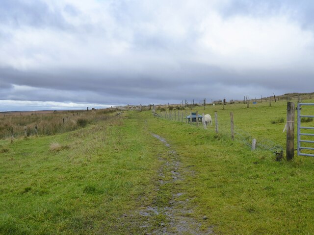
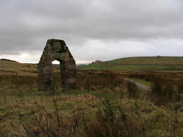
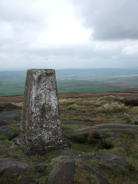
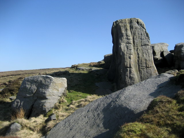
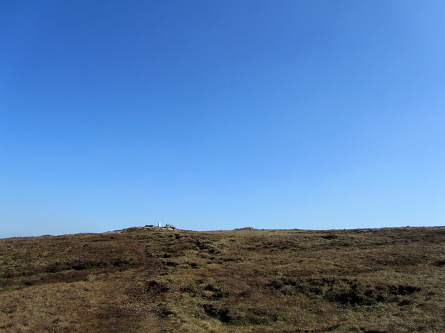
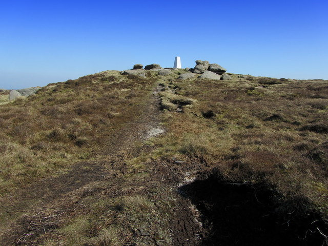
The terrain of Bedding Hill Moor is characterized by rolling hills and expansive heather-covered moorland. The landscape is dotted with small streams and ponds, adding to its picturesque charm. On clear days, visitors can enjoy breathtaking views of the surrounding countryside, including the nearby Forest of Bowland and Pendle Hill.
The moorland is home to a wide range of plant and animal species, including various types of heather, cotton grass, and bilberry. It also provides a habitat for numerous bird species, such as curlews, lapwings, and red grouse. Rare species, such as the hen harrier and short-eared owl, can also be spotted in the area.
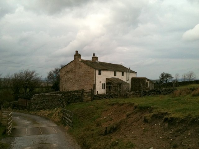
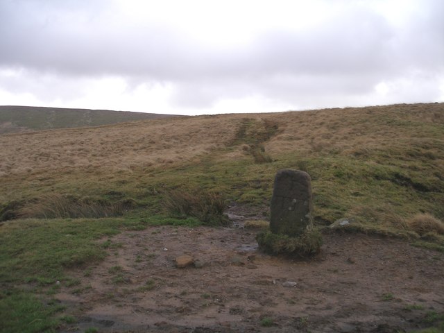
In addition to its natural beauty, Bedding Hill Moor has historical significance. It is believed to have been used for grazing livestock for centuries, and evidence of ancient settlements can still be found in the form of stone circles and burial mounds.
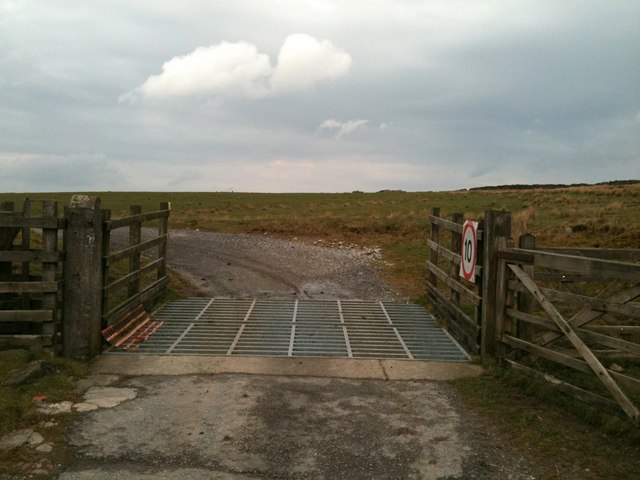
Visitors to Bedding Hill Moor can enjoy hiking and walking trails that wind through the moorland, providing an opportunity to immerse themselves in the tranquility of nature. The area is also a popular spot for birdwatching and photography enthusiasts, who flock to capture the beauty of the wildlife and landscape.
Overall, Bedding Hill Moor is a captivating destination that offers a unique blend of natural beauty, biodiversity, and historical intrigue.
If you have any feedback on the listing, please let us know in the comments section below.
Bedding Hill Moor Images
Images are sourced within 2km of 53.820651/-2.1158323 or Grid Reference SD9236. Thanks to Geograph Open Source API. All images are credited.


Bedding Hill Moor is located at Grid Ref: SD9236 (Lat: 53.820651, Lng: -2.1158323)
Administrative County: Lancashire
District: Pendle
Police Authority: Lancashire
What 3 Words
///surveyors.examples.kebab. Near Colne, Lancashire
Nearby Locations
Related Wikis

Boulsworth Hill
Boulsworth Hill is a large expanse of moorland, the highest point of the South Pennines of south-eastern Lancashire, England, separating the Borough of...

Trawden Brook
Trawden Brook is a minor river in Lancashire, England. It is 3.48 miles (5.6 km) long and has a catchment area of 4.40 square miles (11.4 km2).Rising on...

Trawden
Trawden is a village in the Trawden Forest parish of Pendle, at the foot of Boulsworth Hill, in Lancashire, England. The village co-operatively owns and...

Trawden Forest
Trawden Forest is a civil parish in the Pendle district of Lancashire, England. It has a population of 2,765, and contains the village of Trawden (formerly...
Have you been to Bedding Hill Moor?
Leave your review of Bedding Hill Moor below (or comments, questions and feedback).