Allercleugh Fell
Downs, Moorland in Durham
England
Allercleugh Fell

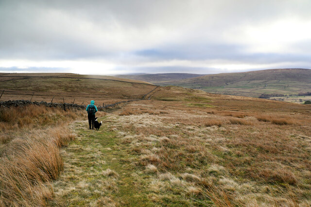
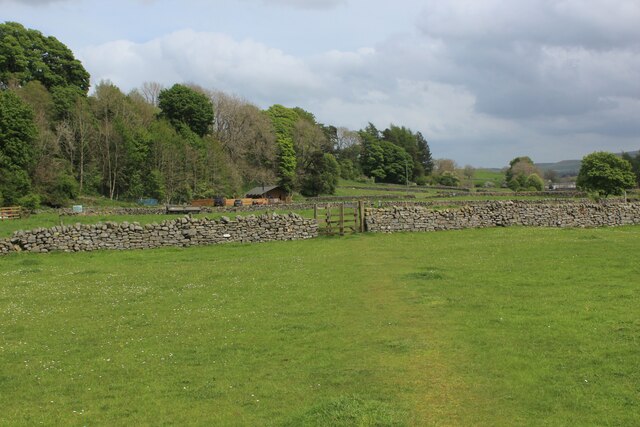
Allercleugh Fell is a picturesque area located in County Durham, England. Situated amidst the stunning landscape of the Durham Dales, it encompasses a combination of downs, moorland, and rolling hills. The fell is renowned for its natural beauty and attracts visitors from far and wide.
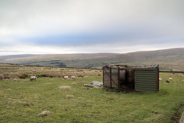
Covering an expansive area, Allercleugh Fell offers breathtaking views of the surrounding countryside. Its diverse topography includes vast open spaces, heather-clad moorland, and gentle slopes. The fell is home to an array of wildlife, including various bird species, rabbits, and occasionally deer.
The area is popular among hikers and nature enthusiasts, who can explore the numerous footpaths and trails that crisscross the fell. These pathways provide access to the different sections of the landscape, allowing visitors to fully immerse themselves in the tranquility and beauty of the area.
Allercleugh Fell is also known for its historical significance. It boasts remnants of ancient settlements, including Bronze Age burial mounds and Iron Age hill forts. These archaeological sites offer a glimpse into the area's rich past and provide a fascinating insight into the lives of its early inhabitants.
Due to its relatively remote location, Allercleugh Fell offers a peaceful and serene environment, perfect for those seeking a break from the hustle and bustle of everyday life. Whether it's a leisurely stroll, a challenging hike, or simply a moment of solitude amidst nature, this enchanting fell has something to offer for everyone.
If you have any feedback on the listing, please let us know in the comments section below.
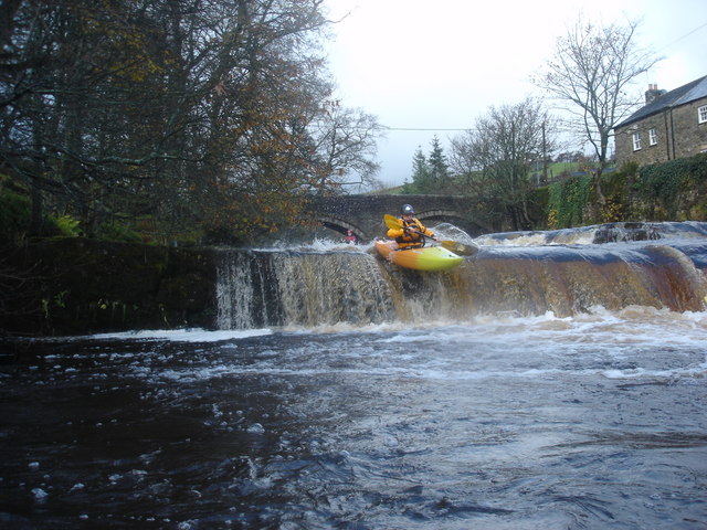
Allercleugh Fell Images
Images are sourced within 2km of 54.753936/-2.2005548 or Grid Reference NY8739. Thanks to Geograph Open Source API. All images are credited.


Allercleugh Fell is located at Grid Ref: NY8739 (Lat: 54.753936, Lng: -2.2005548)
Unitary Authority: County Durham
Police Authority: Durham
What 3 Words
///dared.carrots.width. Near Stanhope, Co. Durham
Nearby Locations
Related Wikis
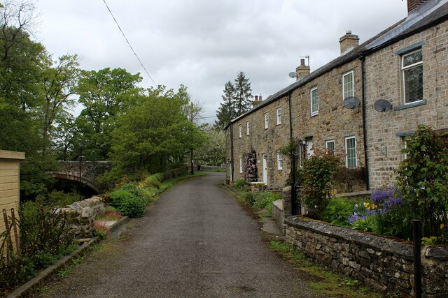
West Blackdene
West Blackdene is a village in the civil parish of Stanhope, in County Durham, England. It is situated to the north of the River Wear, opposite Ireshopeburn...

Wearhead railway station
Wearhead railway station served the village of Wearhead, County Durham, England, from 1895 to 1961 on the Weardale Railway. == History == The station opened...

Ireshopeburn
Ireshopeburn ( EYE-sup-burn ) is a village in the civil parish of Stanhope, in County Durham, England. It is situated on the south side of Weardale, between...

Wearhead
Wearhead is a village in the civil parish of Stanhope, in County Durham, England. It is situated at the top of Weardale between Cowshill and Ireshopeburn...
Related Videos

This is wild... this is Weardale Adventure Centre
Discover a world of adventure in the heart of the Durham Dales at Weardale Adventure Centre! A definite 'must-visit' this summer!

Must see Wonders of Weardale.
Minerals valley walk from Penny Cottage. 7 mile circular walk.
Cowshill - Burnhope Reservoir Loop with Interesting Walks NE Facebook Group
Out on the windy moors again with Interesting Walks NE Facebook group. Weather was forecast cool but was very warm at times ...
Nearby Amenities
Located within 500m of 54.753936,-2.2005548Have you been to Allercleugh Fell?
Leave your review of Allercleugh Fell below (or comments, questions and feedback).