The Old Park
Downs, Moorland in Worcestershire Malvern Hills
England
The Old Park

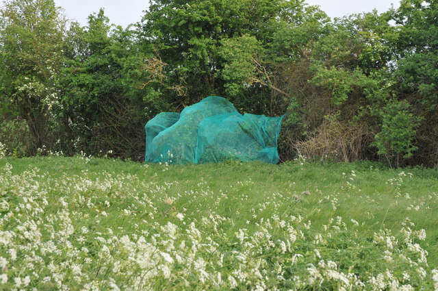
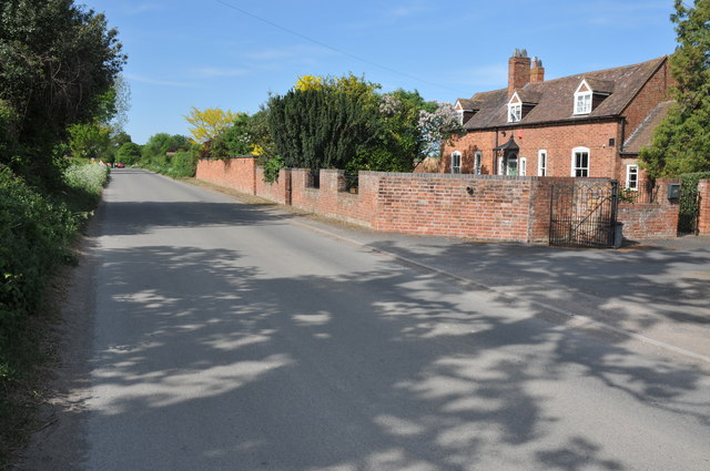
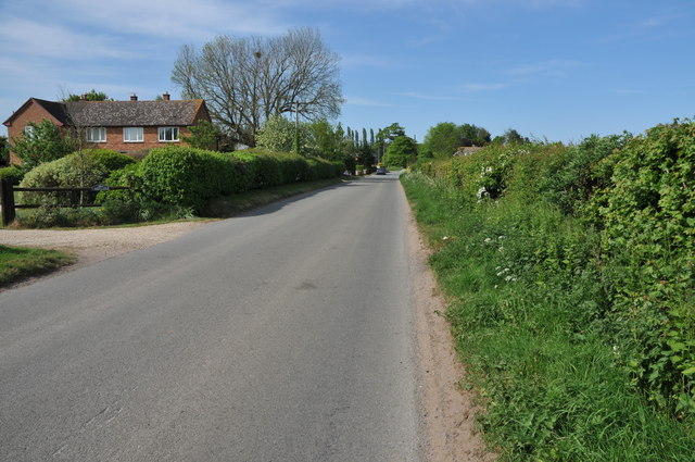
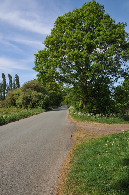
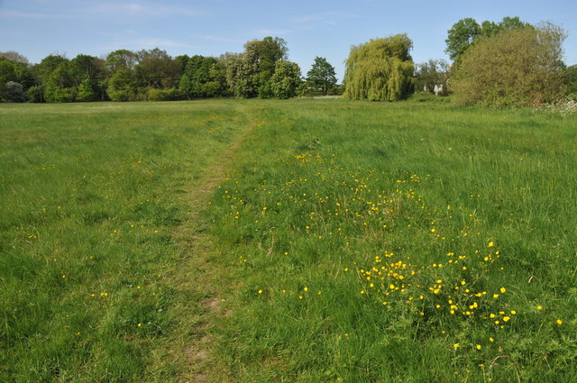
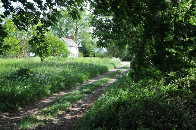
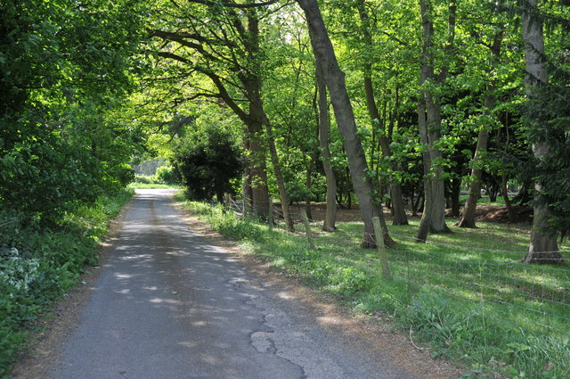
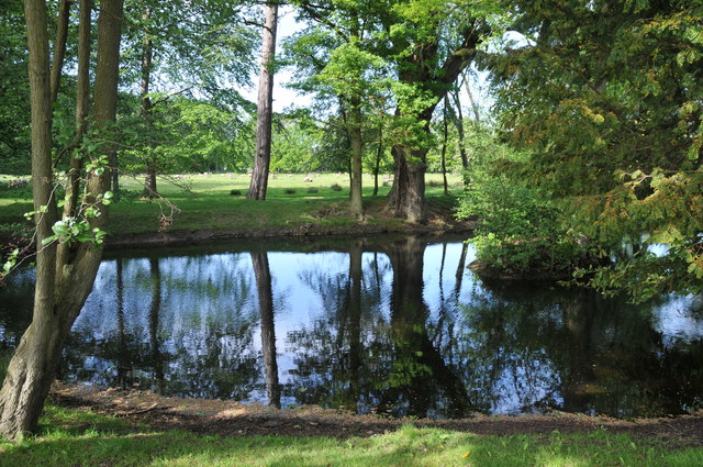
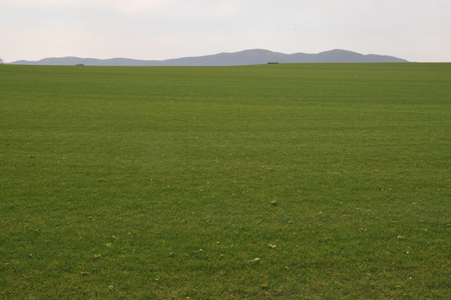
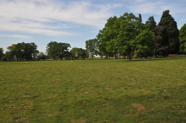
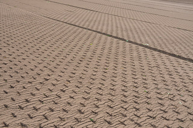
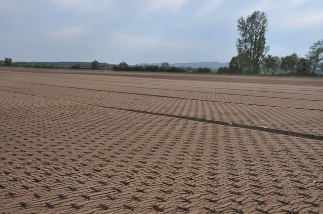
The Old Park, located in Worcestershire, England, is a vast expanse of picturesque downs and moorland, offering visitors a serene and natural escape from the bustling urban life. Covering a sprawling area, it is characterized by rolling hills, open meadows, and heathland, providing a diverse and captivating landscape.
The park is home to a variety of flora and fauna, making it a haven for nature enthusiasts and wildlife lovers. Ancient oak and beech trees dot the landscape, interspersed with patches of vibrant wildflowers, creating a vibrant and colorful scenery throughout the year. The park is also known for its rich birdlife, with a plethora of species including skylarks, kestrels, and red kites, making it an ideal spot for birdwatching.
Tranquility and tranquility are the hallmarks of The Old Park, making it a popular destination for those seeking solitude and relaxation. Its vast open spaces allow visitors to explore and roam freely, enjoying leisurely walks or engaging in recreational activities such as picnicking, flying kites, or simply taking in the breathtaking views.
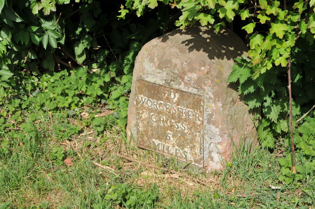
The Old Park is also steeped in history, with remnants of ancient settlements and burial mounds scattered across its grounds. These archaeological features provide a glimpse into the region's past, dating back to prehistoric times.
Overall, The Old Park in Worcestershire is a captivating natural haven, offering a tranquil escape into the beauty of downs and moorland, where visitors can immerse themselves in the splendor of nature and uncover the secrets of the past.
If you have any feedback on the listing, please let us know in the comments section below.
The Old Park Images
Images are sourced within 2km of 52.116569/-2.1887996 or Grid Reference SO8746. Thanks to Geograph Open Source API. All images are credited.


The Old Park is located at Grid Ref: SO8746 (Lat: 52.116569, Lng: -2.1887996)
Administrative County: Worcestershire
District: Malvern Hills
Police Authority: West Mercia
What 3 Words
///supplier.offstage.sleeps. Near Kempsey, Worcestershire
Nearby Locations
Related Wikis

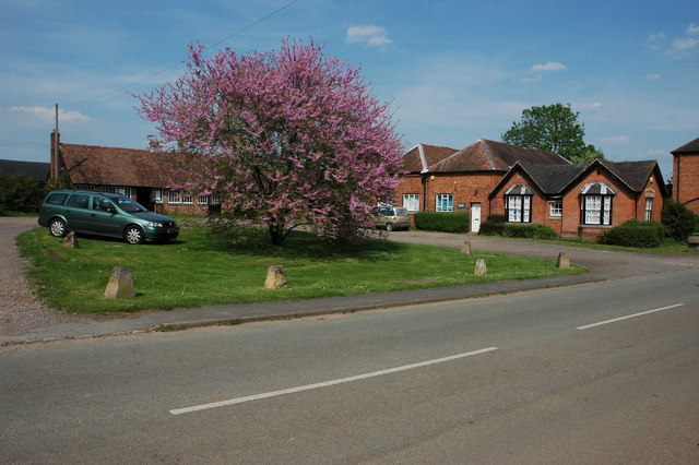
Kerswell Green
Kerswell Green is a village in Worcestershire, England.

Pirton, Worcestershire
Pirton is a small village in the English county of Worcestershire. The village has been occupied since at least 1086, when Domesday listed the village...
High Green, Worcestershire
High Green is a village in Worcestershire, England.

Croome D'Abitot
Croome D'Abitot is a village and civil parish, which shares a joint parish council with Severn Stoke, in the Malvern Hills District in the county of Worcestershire...

St Mary Magdalene's Church, Croome D'Abitot
St Mary Magdalene's Church is a former Anglican church in the grounds of Croome Court, at Croome D'Abitot, Worcestershire, England. It is recorded in...
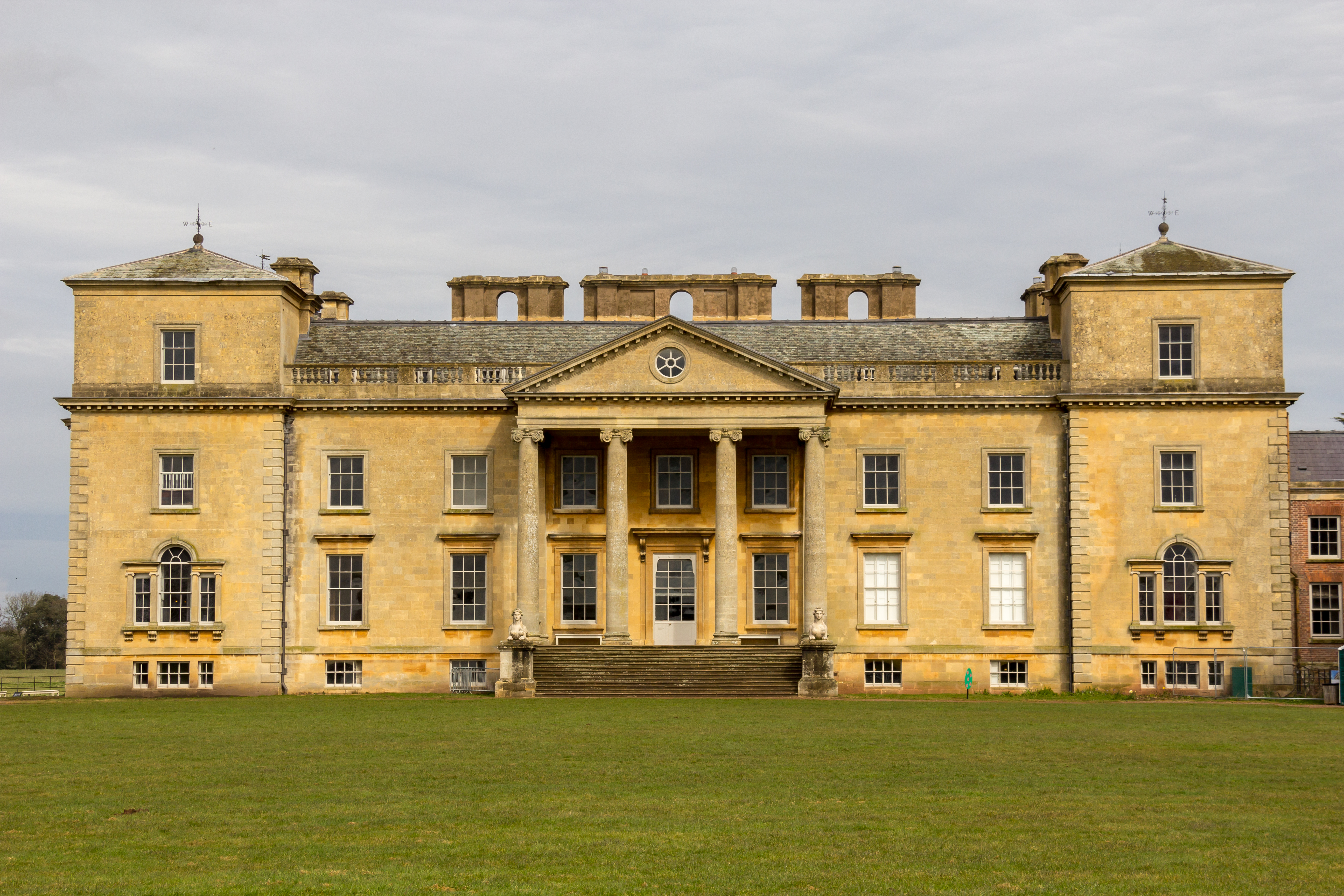
Croome Court
Croome Court is a mid-18th-century Neo-Palladian mansion surrounded by extensive landscaped parkland at Croome D'Abitot, near Upton-upon-Severn in south...

Horewell Forest
Horewell Forest was a royal forest, i. e. a royal game preserve. In the west, it bordered the river Severn, and Strensham in the south and extended to...
Clifton, Worcestershire
Clifton is a village in Worcestershire, England.
Related Videos

NATIONAL TRUST - CROOME - 4K DJI MINI 3 PRO DRONE & WALKING TOUR 2023
Well back up in the sky over National Trust Croome with my DJI Mini 3 Pro Drone in 4K , Walking footage taken on the iPhone 14 ...
Croome Court walking around
Walking around croome Court.

A days walking around Croome National Trust @nationaltrustcharity
A lovely walk round National Trust Croome #disneyprep.

lovely Croome UK, National Trust UK Croom Site #travel #beautiful #uk @TravelwithMazi
National Trust Site in Croome UK.
Nearby Amenities
Located within 500m of 52.116569,-2.1887996Have you been to The Old Park?
Leave your review of The Old Park below (or comments, questions and feedback).