Newhouse Moor
Downs, Moorland in Durham
England
Newhouse Moor

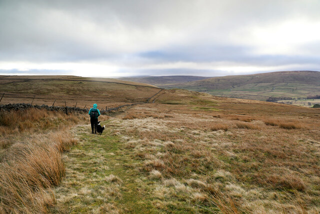
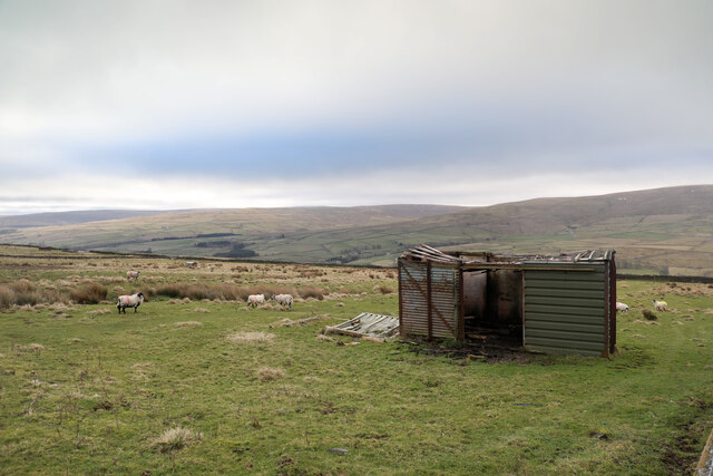
Newhouse Moor is a picturesque area located in Durham, England. Covering vast stretches of land, the moor is characterized by its rolling hills, open grasslands, and heather-covered slopes. It is a popular destination for nature enthusiasts and hikers, offering breathtaking views of the surrounding countryside.
The moorland is home to a diverse range of plant and animal species, making it an important ecological site. Visitors can spot various bird species, such as curlews, lapwings, and red grouse, while lucky observers may even catch a glimpse of elusive mammals like hares or stoats.
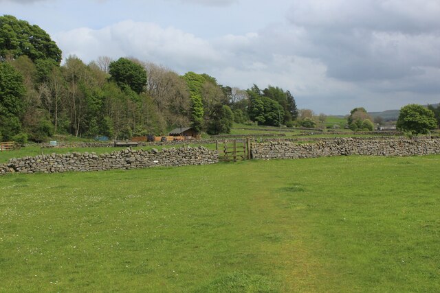
The landscape of Newhouse Moor is shaped by human activity, with evidence of historic farming practices visible throughout the area. Traditional dry-stone walls divide the land into smaller enclosures, creating a patchwork of fields and pastures. These structures also serve as habitats for small animals and insects.
Walking trails and footpaths crisscross the moor, allowing visitors to explore its beauty at their own pace. The area is known for its panoramic views, particularly from its higher points, where one can enjoy sweeping vistas of the Durham Dales and beyond.
Newhouse Moor is a tranquil and serene place, providing a peaceful escape from the bustling city life. Its untouched natural beauty, combined with its rich biodiversity, makes it a must-visit destination for nature lovers and those seeking a peaceful retreat in the heart of Durham.
If you have any feedback on the listing, please let us know in the comments section below.
Newhouse Moor Images
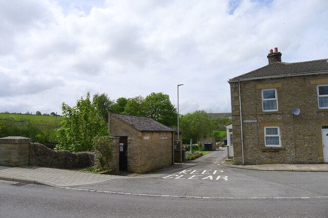
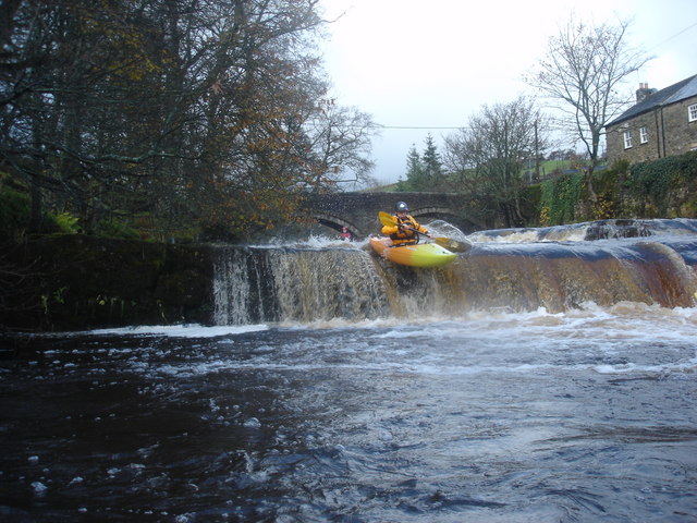
Images are sourced within 2km of 54.754075/-2.1924139 or Grid Reference NY8739. Thanks to Geograph Open Source API. All images are credited.


Newhouse Moor is located at Grid Ref: NY8739 (Lat: 54.754075, Lng: -2.1924139)
Unitary Authority: County Durham
Police Authority: Durham
What 3 Words
///logbook.films.underline. Near Stanhope, Co. Durham
Nearby Locations
Related Wikis
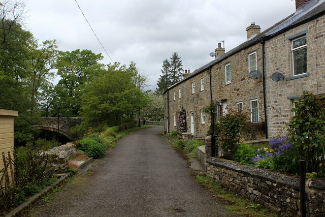
West Blackdene
West Blackdene is a village in the civil parish of Stanhope, in County Durham, England. It is situated to the north of the River Wear, opposite Ireshopeburn...

Ireshopeburn
Ireshopeburn ( EYE-sup-burn ) is a village in the civil parish of Stanhope, in County Durham, England. It is situated on the south side of Weardale, between...

East Blackdene
East Blackdene is a hamlet in the civil parish of Stanhope, in County Durham, England. It is situated to the north of the River Wear, on the opposite side...

Wearhead railway station
Wearhead railway station served the village of Wearhead, County Durham, England, from 1895 to 1961 on the Weardale Railway. == History == The station opened...
Nearby Amenities
Located within 500m of 54.754075,-2.1924139Have you been to Newhouse Moor?
Leave your review of Newhouse Moor below (or comments, questions and feedback).