Yewdale Crag Moss
Downs, Moorland in Lancashire South Lakeland
England
Yewdale Crag Moss
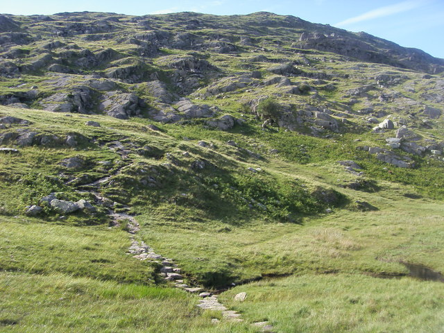
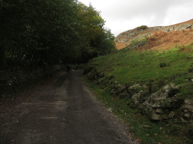
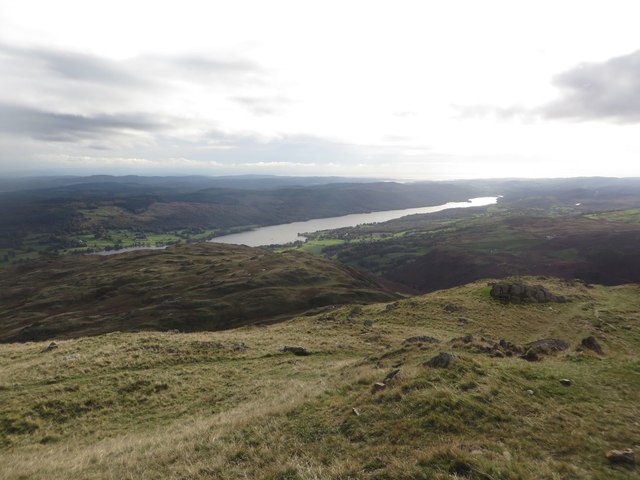
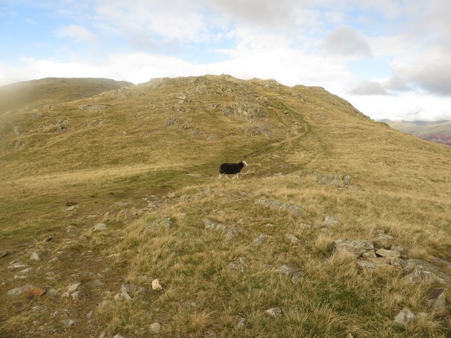
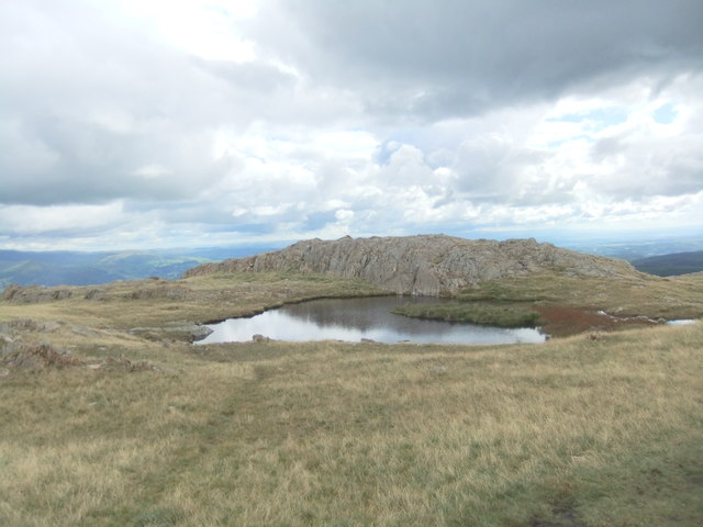
Yewdale Crag Moss is a stunning natural landscape located in Lancashire, England. Situated in the Downs region, this area is characterized by its lush greenery, rolling hills, and scenic vistas. Yewdale Crag Moss is a vast expanse of moorland that stretches out for miles, offering visitors a chance to immerse themselves in the tranquility of nature.
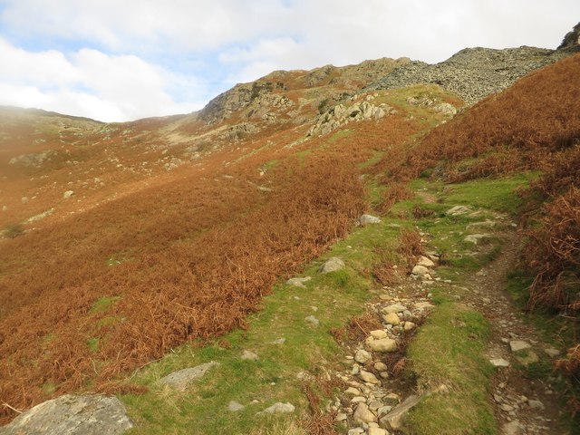
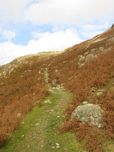
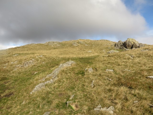
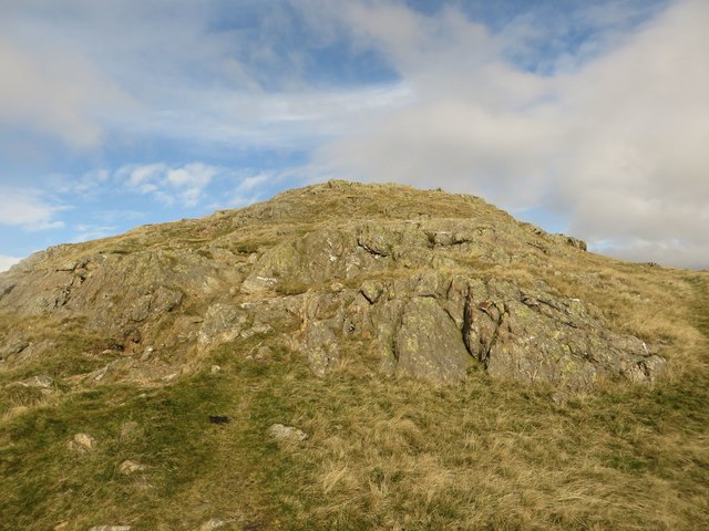
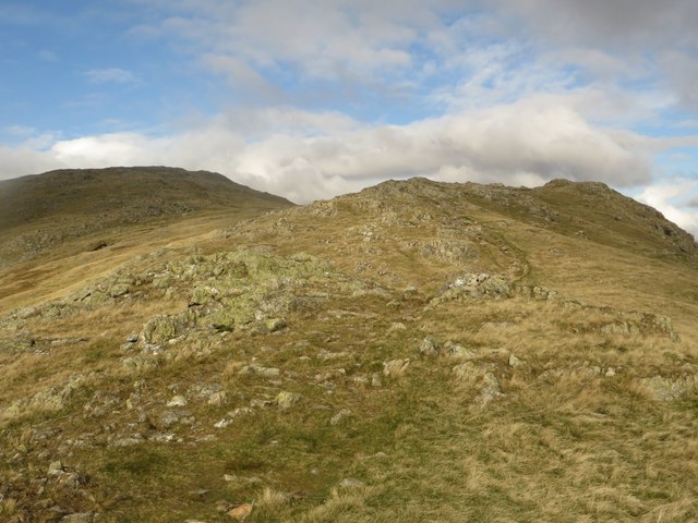
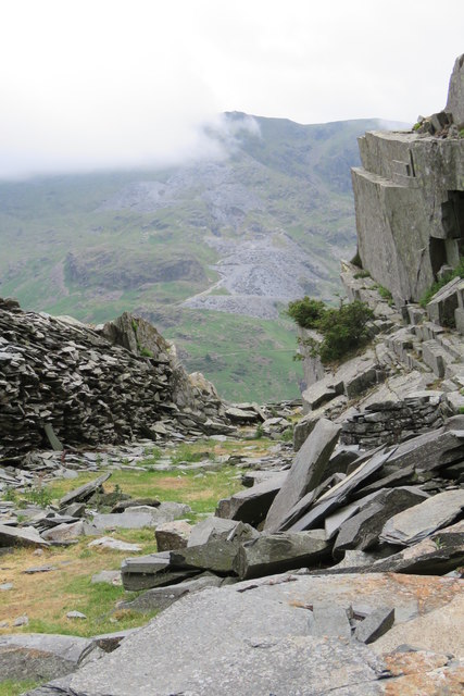
The moss is named after the prominent crag, a rocky outcrop that adds a dramatic element to the landscape. It is made up of a diverse range of plant species, including heather, bracken, and mosses, which create a vibrant tapestry of colors throughout the year. The area is also home to various wildlife, such as birds, rabbits, and small mammals, making it a haven for nature enthusiasts and birdwatchers.
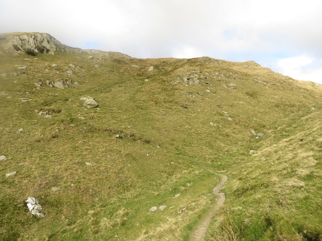
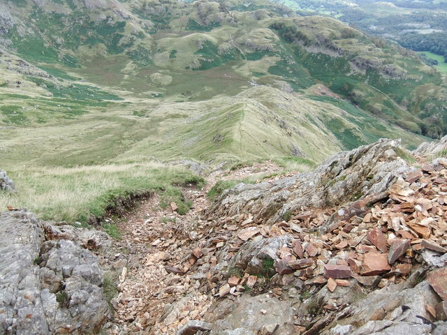
Visitors to Yewdale Crag Moss can explore the area through several walking trails and paths, allowing them to appreciate the natural beauty up close. The trails wind through the moorland, offering breathtaking views of the surrounding countryside. The moss is also a popular spot for picnics and outdoor activities, providing ample space for families and friends to unwind and enjoy the peaceful surroundings.
Yewdale Crag Moss is not only a place of natural beauty but also holds historical significance. It is believed that the moss served as a hiding place for outlaws during the medieval period, adding an element of intrigue to the area.
In conclusion, Yewdale Crag Moss in Lancashire is a picturesque moorland landscape that offers visitors a chance to connect with nature and indulge in its beauty. With its diverse plant and animal life, walking trails, and historical significance, it is a true gem of the region.
If you have any feedback on the listing, please let us know in the comments section below.
Yewdale Crag Moss Images
Images are sourced within 2km of 54.387689/-3.0664942 or Grid Reference SD3099. Thanks to Geograph Open Source API. All images are credited.


Yewdale Crag Moss is located at Grid Ref: SD3099 (Lat: 54.387689, Lng: -3.0664942)
Administrative County: Cumbria
District: South Lakeland
Police Authority: Cumbria
What 3 Words
///warms.paper.chairs. Near Ambleside, Cumbria
Nearby Locations
Related Wikis

Holme Fell
Holme Fell or Holm Fell is a fell in the Lake District in Cumbria, England. It is located between Coniston Water and Little Langdale, almost isolated from...

Yew Tree Tarn
Yew Tree Tarn is a small lake in the English Lake District situated in between the towns of Ambleside and Coniston. The tarn was formed when the local...

Ruskin Museum
The Ruskin Museum is a small local museum in Coniston, Cumbria, northern England. It was established in 1901 by W. G. Collingwood, an artist and antiquarian...

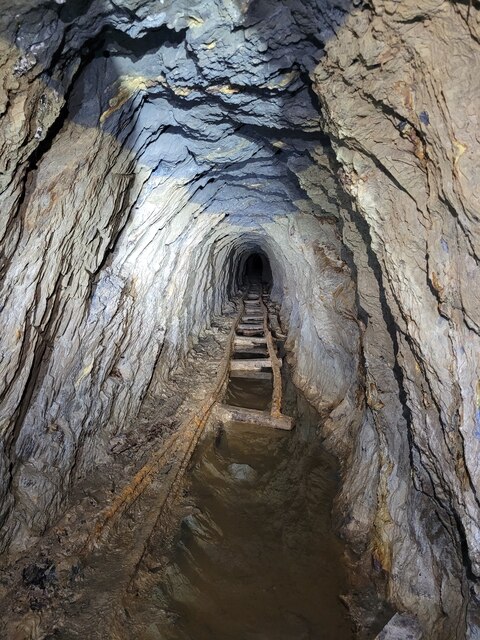
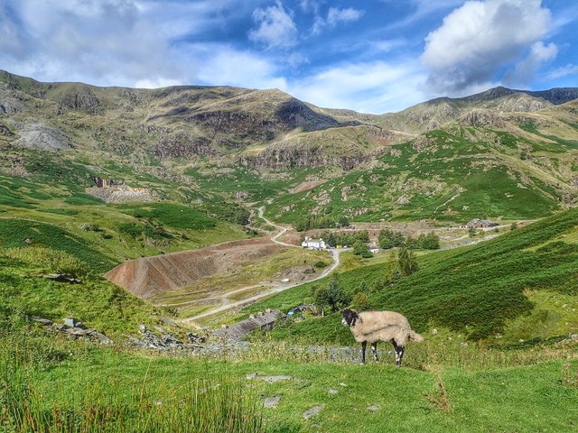
Coniston copper mines
The Coniston copper mines were a copper mining operation in Lancashire, England. It was functional for hundreds of years in Coppermines Valley above Coniston...

Tarn Hows
Tarn Hows is an area of the Lake District National Park in North West England, It contains a picturesque tarn, approximately 2 miles (3.2 km) northeast...

Coniston, Cumbria
Coniston is a village and civil parish in the Westmorland and Furness district of Cumbria, England. In the 2001 census the parish had a population of 1...

John Ruskin School
John Ruskin School (JRS) is an 11–16 school on Lake Road in Coniston, Cumbria. The school is part of the Rural Academy, a group of nine small schools in...

Coniston railway station (England)
Coniston railway station was the northern terminus of the Coniston branch line in the village of Coniston, Lancashire, England (now in Cumbria). ��2�...
Nearby Amenities
Located within 500m of 54.387689,-3.0664942Have you been to Yewdale Crag Moss?
Leave your review of Yewdale Crag Moss below (or comments, questions and feedback).