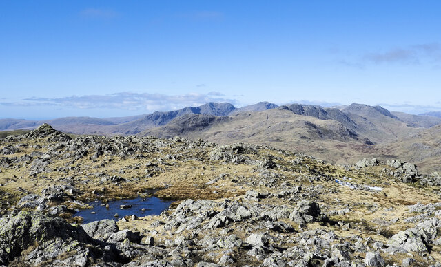
Yewdale Moss
Downs, Moorland in Lancashire South Lakeland
England
Yewdale Moss

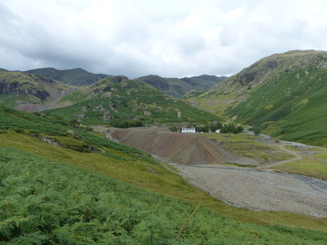
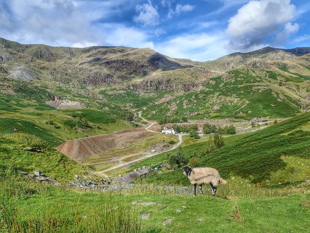
Yewdale Moss is a picturesque area located in Lancashire, England. It is nestled amidst the enchanting Downs and Moorland, providing a captivating landscape for nature enthusiasts and visitors alike. The moss is known for its diverse range of plant and animal species, making it a significant ecological site of interest.
Covering an extensive area, Yewdale Moss offers a unique blend of habitats. Its lush green meadows are adorned with vibrant wildflowers, creating a beautiful tapestry of colors during the spring and summer months. The moss is also home to a variety of heather, gorse, and bracken, which add to the area's natural charm.
The rich biodiversity of Yewdale Moss is further enhanced by its thriving wildlife population. The area is a haven for numerous species of birds, such as curlews, lapwings, and skylarks, making it a popular spot for birdwatchers. Additionally, the moss is inhabited by various small mammals, including voles and shrews, which can often be spotted scurrying among the foliage.
For those looking to explore the area, Yewdale Moss offers several walking trails that meander through its stunning landscapes. These trails provide an opportunity to immerse oneself in the tranquility of the moss while enjoying breathtaking views of the surrounding countryside.
Overall, Yewdale Moss is a natural gem in Lancashire, offering a tranquil escape from the hustle and bustle of everyday life. Its stunning vistas, diverse flora and fauna, and serene atmosphere make it a must-visit destination for nature lovers and outdoor enthusiasts.
If you have any feedback on the listing, please let us know in the comments section below.
Yewdale Moss Images
Images are sourced within 2km of 54.388711/-3.0769156 or Grid Reference SD3099. Thanks to Geograph Open Source API. All images are credited.


Yewdale Moss is located at Grid Ref: SD3099 (Lat: 54.388711, Lng: -3.0769156)
Administrative County: Cumbria
District: South Lakeland
Police Authority: Cumbria
What 3 Words
///scary.pricier.slopes. Near Ambleside, Cumbria
Nearby Locations
Related Wikis

Holme Fell
Holme Fell or Holm Fell is a fell in the Lake District in Cumbria, England. It is located between Coniston Water and Little Langdale, almost isolated from...

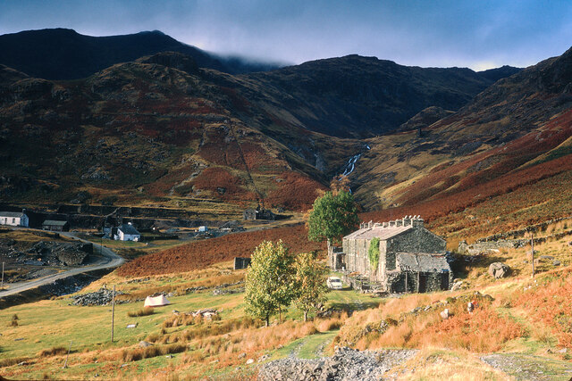
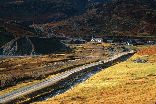
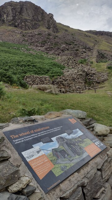
Coniston copper mines
The Coniston copper mines were a copper mining operation in Lancashire, England. It was functional for hundreds of years in Coppermines Valley above Coniston...

Wetherlam
Wetherlam (763 m) is a mountain in the English Lake District. It is the most northerly of the Coniston Fells, the range of fells to the north-west of Coniston...

Ruskin Museum
The Ruskin Museum is a small local museum in Coniston, Cumbria, northern England. It was established in 1901 by W. G. Collingwood, an artist and antiquarian...
Nearby Amenities
Located within 500m of 54.388711,-3.0769156Have you been to Yewdale Moss?
Leave your review of Yewdale Moss below (or comments, questions and feedback).