Yewdale Fells
Downs, Moorland in Lancashire South Lakeland
England
Yewdale Fells
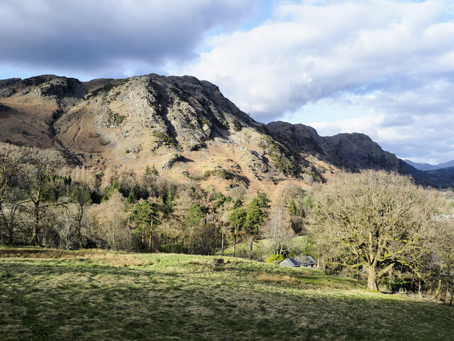
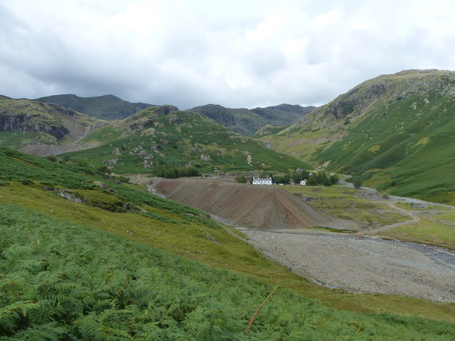
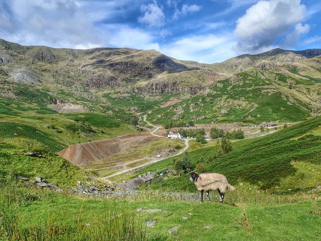
Yewdale Fells is a stunning area of natural beauty located in Lancashire, England. It is characterized by its rolling hills, expansive moorland, and picturesque valleys. The fells are situated in the southern part of the Lake District National Park, making it a popular destination for outdoor enthusiasts and nature lovers.
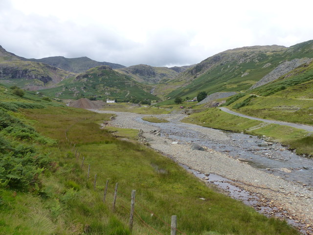
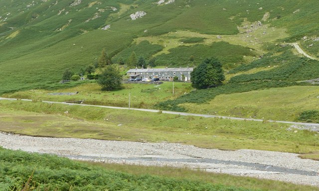
Covering an area of approximately 10 square miles, Yewdale Fells offers a diverse landscape that includes both open moorland and wooded valleys. The fells are mainly composed of volcanic rock, creating a unique geological feature that adds to its charm. The highest peak in the area is Coniston Old Man, standing at an impressive 2,634 feet, which provides breathtaking panoramic views of the surrounding countryside.
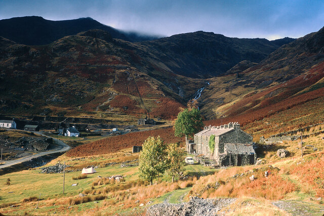
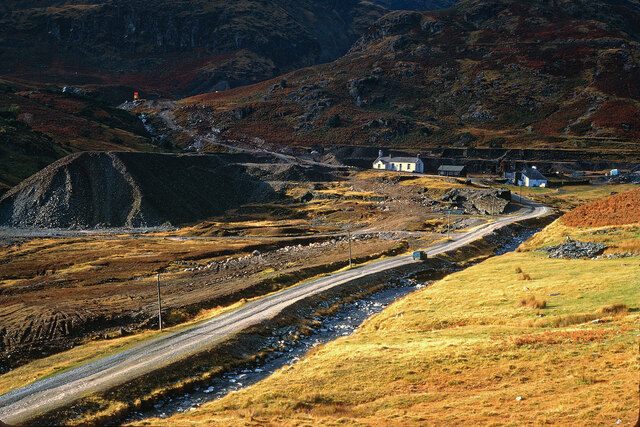
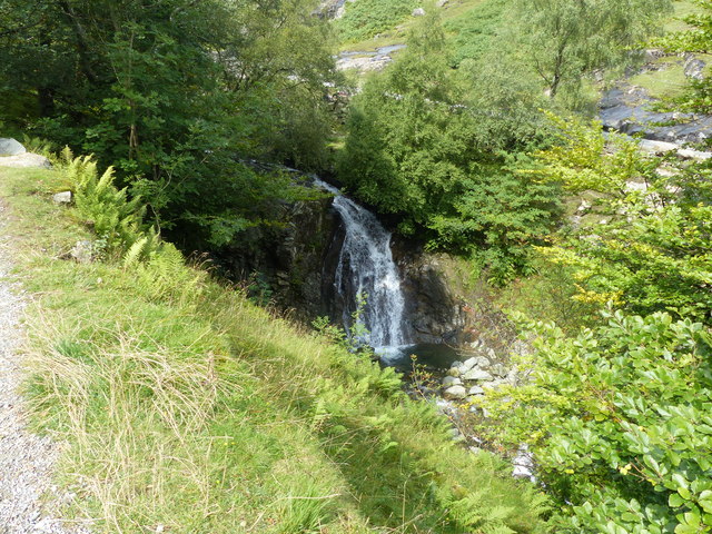
The fells are home to a variety of wildlife, including red deer, birds of prey, and rare species of plants. The area is also known for its rich history, with evidence of prehistoric settlements and ancient mining activities scattered throughout.
Yewdale Fells is a haven for hikers and walkers, with a network of well-maintained trails that cater to all levels of ability. The paths meander through heather-covered moorland, alongside babbling streams, and up steep slopes, offering a range of different experiences for visitors.
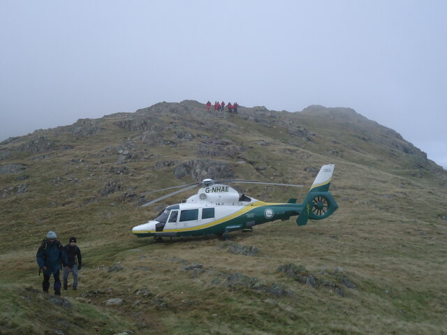
The fells are also a popular destination for rock climbers, with several challenging crags and cliffs to conquer. Additionally, the area offers opportunities for mountain biking, horse riding, and fishing in the nearby rivers and lakes.
Overall, Yewdale Fells is a breathtaking and diverse landscape that showcases the beauty of Lancashire's countryside. Whether you are seeking solitude and tranquility or an adrenaline-filled adventure, this area has something to offer for everyone.
If you have any feedback on the listing, please let us know in the comments section below.
Yewdale Fells Images
Images are sourced within 2km of 54.385589/-3.0753248 or Grid Reference SD3099. Thanks to Geograph Open Source API. All images are credited.


Yewdale Fells is located at Grid Ref: SD3099 (Lat: 54.385589, Lng: -3.0753248)
Administrative County: Cumbria
District: South Lakeland
Police Authority: Cumbria
What 3 Words
///mini.tortoises.rebounds. Near Ambleside, Cumbria
Nearby Locations
Related Wikis

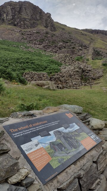
Coniston copper mines
The Coniston copper mines were a copper mining operation in Lancashire, England. It was functional for hundreds of years in Coppermines Valley above Coniston...

Holme Fell
Holme Fell or Holm Fell is a fell in the Lake District in Cumbria, England. It is located between Coniston Water and Little Langdale, almost isolated from...

Ruskin Museum
The Ruskin Museum is a small local museum in Coniston, Cumbria, northern England. It was established in 1901 by W. G. Collingwood, an artist and antiquarian...

Coniston, Cumbria
Coniston is a village and civil parish in the Westmorland and Furness district of Cumbria, England. In the 2001 census the parish had a population of 1...

Coniston railway station (England)
Coniston railway station was the northern terminus of the Coniston branch line in the village of Coniston, Lancashire, England (now in Cumbria). ��2�...

John Ruskin School
John Ruskin School (JRS) is an 11–16 school on Lake Road in Coniston, Cumbria. The school is part of the Rural Academy, a group of nine small schools in...

Yew Tree Tarn
Yew Tree Tarn is a small lake in the English Lake District situated in between the towns of Ambleside and Coniston. The tarn was formed when the local...

Wetherlam
Wetherlam (763 m) is a mountain in the English Lake District. It is the most northerly of the Coniston Fells, the range of fells to the north-west of Coniston...
Nearby Amenities
Located within 500m of 54.385589,-3.0753248Have you been to Yewdale Fells?
Leave your review of Yewdale Fells below (or comments, questions and feedback).