High Wythow
Hill, Mountain in Lancashire South Lakeland
England
High Wythow
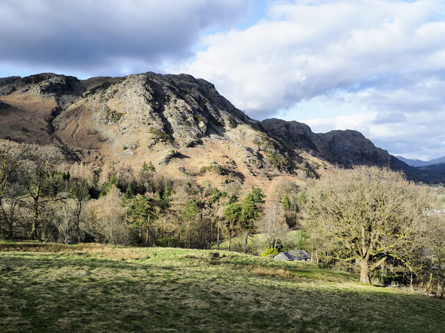
High Wythow is a prominent hill located in the county of Lancashire, England. It is part of the beautiful countryside landscape and is known for its scenic views and natural beauty. Rising to an altitude of approximately 450 meters (1476 feet), it stands as one of the highest points in the region, making it a popular spot for hikers, nature enthusiasts, and outdoor adventurers.
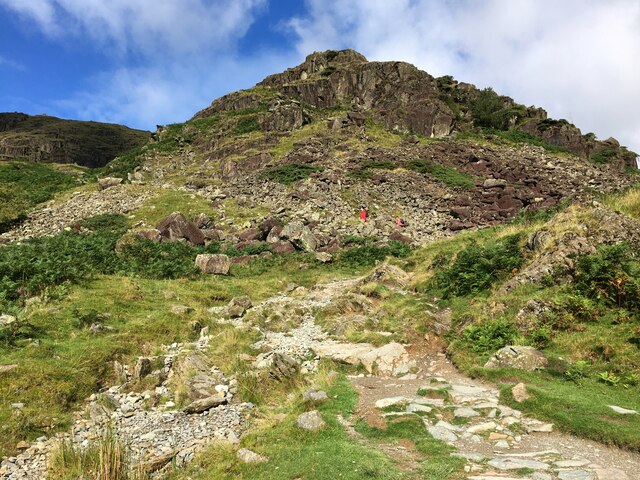
Situated in the southwestern part of Lancashire, High Wythow is surrounded by rolling hills, lush green valleys, and picturesque villages. The hill itself is characterized by its steep slopes, rugged terrain, and rocky outcrops, offering a challenging yet rewarding experience for those who choose to climb it.
The summit of High Wythow provides breathtaking panoramic vistas of the surrounding countryside, including the sprawling Lancashire plains, distant mountain ranges, and nearby reservoirs. On clear days, it is even possible to catch a glimpse of the Irish Sea to the west. This makes the hill a popular destination for photographers and nature lovers seeking to capture the beauty of the landscape.
High Wythow is also home to a diverse range of flora and fauna, with various species of plants, birds, and small mammals inhabiting its slopes. The hill is protected as a designated Area of Outstanding Natural Beauty, ensuring the preservation of its unique ecosystem and wildlife.
Overall, High Wythow in Lancashire offers visitors a chance to immerse themselves in the natural wonders of the region, providing a tranquil escape from the hustle and bustle of everyday life. Whether it's a challenging hike or simply enjoying the breathtaking views, this hill is a must-visit for anyone seeking to connect with nature in Lancashire.
If you have any feedback on the listing, please let us know in the comments section below.
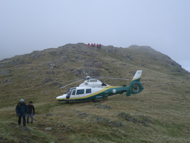
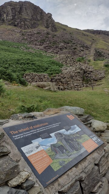
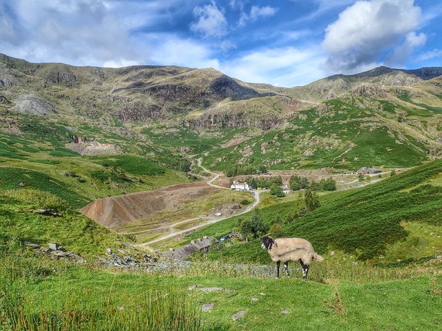
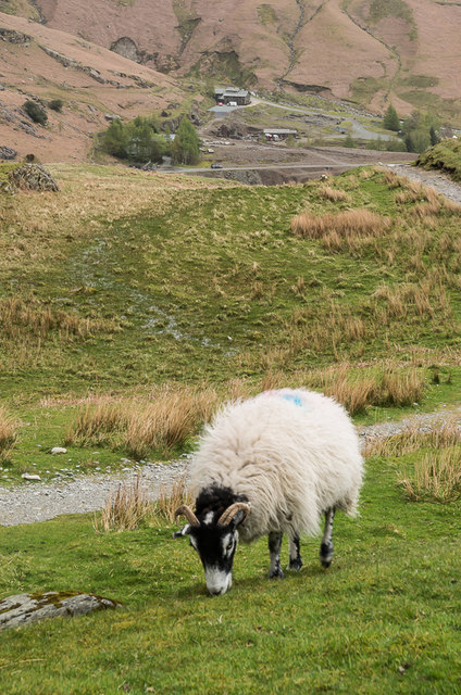
High Wythow Images
Images are sourced within 2km of 54.381936/-3.0787553 or Grid Reference SD3099. Thanks to Geograph Open Source API. All images are credited.


High Wythow is located at Grid Ref: SD3099 (Lat: 54.381936, Lng: -3.0787553)
Administrative County: Cumbria
District: South Lakeland
Police Authority: Cumbria
What 3 Words
///tweezers.trick.lost. Near Ambleside, Cumbria
Nearby Locations
Related Wikis

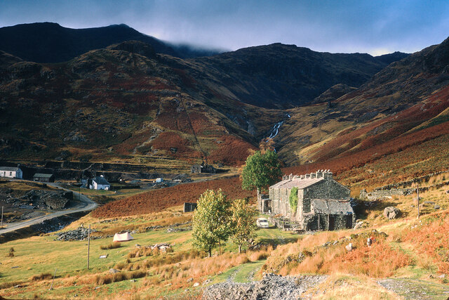
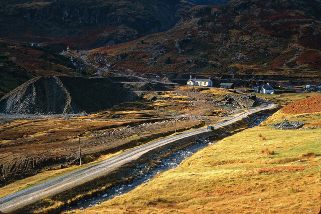
Coniston copper mines
The Coniston copper mines were a copper mining operation in Lancashire, England. It was functional for hundreds of years in Coppermines Valley above Coniston...

Ruskin Museum
The Ruskin Museum is a small local museum in Coniston, Cumbria, northern England. It was established in 1901 by W. G. Collingwood, an artist and antiquarian...

Coniston railway station (England)
Coniston railway station was the northern terminus of the Coniston branch line in the village of Coniston, Lancashire, England (now in Cumbria). ��2�...

Coniston, Cumbria
Coniston is a village and civil parish in the Westmorland and Furness district of Cumbria, England. In the 2001 census the parish had a population of 1...
Nearby Amenities
Located within 500m of 54.381936,-3.0787553Have you been to High Wythow?
Leave your review of High Wythow below (or comments, questions and feedback).