Bught Hill
Hill, Mountain in Peeblesshire
Scotland
Bught Hill
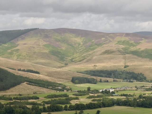
Bught Hill is a prominent natural feature located in Peeblesshire, Scotland. Situated near the town of Peebles, it is part of the wider Tweed Valley landscape, renowned for its scenic beauty. Bught Hill is classified as a hill, rather than a mountain, but it still offers breathtaking views of the surrounding countryside.
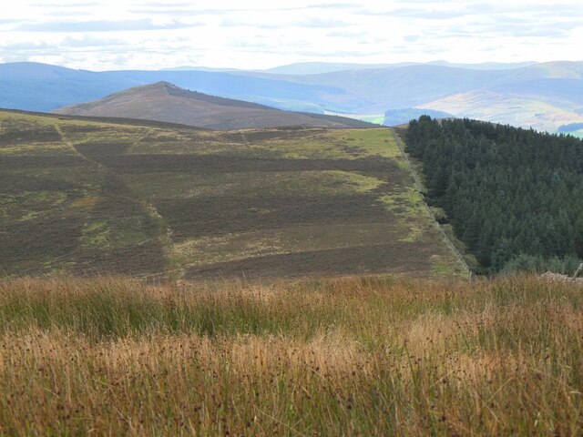
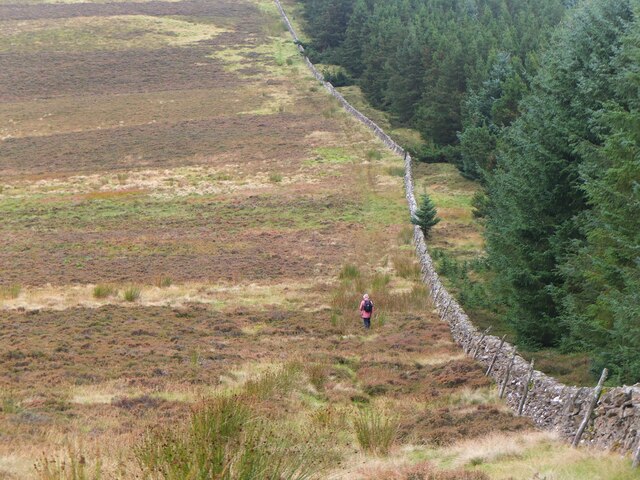
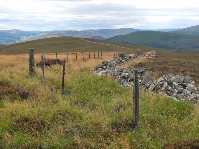
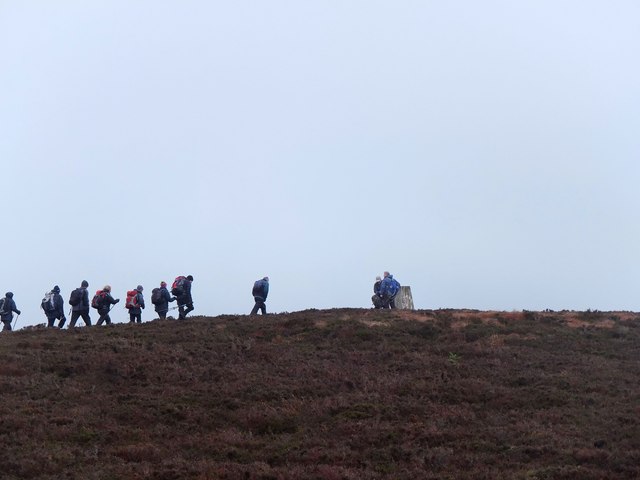
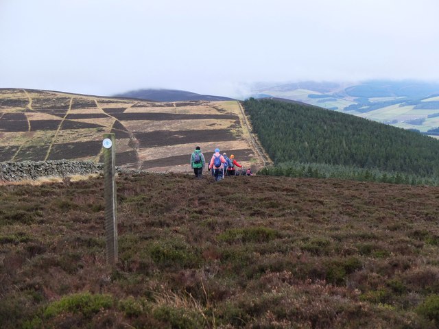
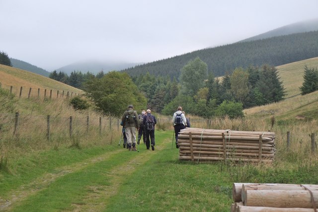
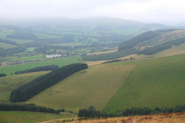
Rising to an elevation of approximately 247 meters (810 feet), Bught Hill is easily accessible to both locals and visitors. It is a popular destination for outdoor enthusiasts, hikers, and nature lovers due to its well-maintained trails and stunning vistas. The hill is covered in heather, providing a colorful display during the summer months.
The hike to the summit of Bught Hill is relatively moderate, making it suitable for individuals of varying fitness levels. The path is clearly marked, ensuring a safe and enjoyable experience for all. At the top, visitors are rewarded with panoramic views of the Peeblesshire countryside, including the picturesque Tweed Valley and the rolling hills beyond.
Besides its natural beauty, Bught Hill also holds historical significance. It is believed that the hill was used as a defensive position during ancient times, with remnants of an Iron Age hillfort visible on its slopes. Archaeological excavations have uncovered artifacts that provide insights into the area's past.
Overall, Bught Hill offers a wonderful opportunity to connect with nature, enjoy outdoor activities, and immerse oneself in the rich history of Peeblesshire. Whether it's a leisurely walk, a family outing, or an exploration of the region's heritage, Bught Hill is sure to leave a lasting impression on all who visit.
If you have any feedback on the listing, please let us know in the comments section below.
Bught Hill Images
Images are sourced within 2km of 55.652781/-3.1136105 or Grid Reference NT3040. Thanks to Geograph Open Source API. All images are credited.


Bught Hill is located at Grid Ref: NT3040 (Lat: 55.652781, Lng: -3.1136105)
Unitary Authority: The Scottish Borders
Police Authority: The Lothians and Scottish Borders
What 3 Words
///memory.stones.widen. Near Peebles, Scottish Borders
Nearby Locations
Related Wikis

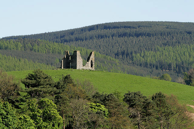
Nether Horsburgh Castle
Nether Horsburgh Castle is a ruined tower house near Cardrona, in the Scottish Borders, in the former county of Peebleshire. It is situated at the back...

Cardrona, Scottish Borders
Cardrona is a village on the A72 and B7062, between Peebles and Innerleithen, in the Scottish Borders area of Scotland. Places nearby include Glentress...

Cardrona railway station
Cardrona railway station served the village of Cardrona, Scottish Borders, Scotland from 1864 to 1962 on the Peebles Railway. == History == The station...
Horsburgh Castle
Horsburgh Castle, also known as Horsbrugh Castle or Horsbrugh Tower, is a ruined tower house castle by the River Tweed, on the A72 road from Peebles to...

Kirkburn, Scottish Borders
Kirkburn is a village on the B7062, close to Peebles and the River Tweed, in the Scottish Borders area of Scotland, at the edge of the Cardrona Forest...

Kailzie Gardens
Kailzie Gardens is a walled garden near Kirkburn in the Scottish Borders area of Scotland, in the Tweed valley, four km east of Peebles, off the B7062...

Glentress Forest
Glentress Forest is located near Peebles in the Scottish Borders, about 30 miles south of Edinburgh. Part of the Tweed Valley Forest Park along with Traquair...

Cardrona Forest
The Cardrona Forest is a forest in the Scottish Borders area of Scotland, on the B7062, near Peebles. OS Grid Reference: NT292385. Cardrona Forest consists...
Related Videos

Ridelines Tweed Valley Treble Mountain Bike Holiday
Welcome to the Tweed Valley Treble. Our flagship all inclusive Mountain Biking holiday in The Tweed Valley, Scotland. Staying in ...

Tweed Valley Enduro MTB Holiday
Brand New for 2021 a four day MTB trip in the awe-inspiring Tweed Valley! Join Sean and our local leader and coach, Liz ...


🤯 Forget the rest... Long-travel trail bikes are the most fun bikes to buy right now!!!
Welcome to Street Pigeon MTB. In this video I ride the longest-travel trail bike I have ever ridden. Spoiler alert... It absolutely rips!
Nearby Amenities
Located within 500m of 55.652781,-3.1136105Have you been to Bught Hill?
Leave your review of Bught Hill below (or comments, questions and feedback).