High Fell
Hill, Mountain in Lancashire South Lakeland
England
High Fell
High Fell is a prominent hill located in the county of Lancashire, England. Situated in the southern part of Lancashire, it forms part of the West Pennine Moors and lies within the Borough of Chorley. With an elevation of approximately 414 meters (1,358 feet), High Fell is considered one of the highest points in the region.
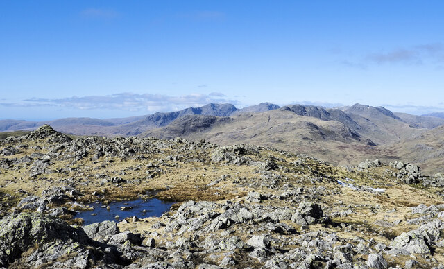
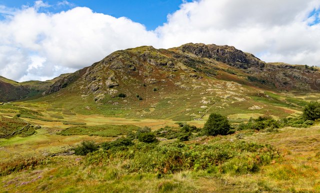
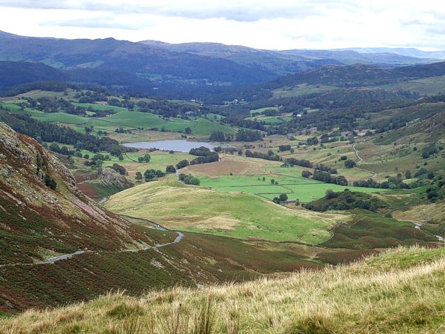
The hill is characterized by its rolling terrain, covered in heather and grassland, which provides a picturesque landscape. It offers panoramic views of the surrounding area, including the nearby towns of Chorley, Bolton, and Preston, as well as glimpses of the West Pennine Moors and the Ribble Valley.
High Fell is a popular destination for outdoor enthusiasts, attracting hikers, walkers, and nature lovers who seek to explore its scenic trails. The hill is crisscrossed with footpaths and bridleways, allowing visitors to traverse its slopes and discover its natural beauty.
Aside from its recreational appeal, High Fell also holds historical significance. The area surrounding the hill is rich in archaeological remains, including prehistoric burial mounds and evidence of early human settlements. This historical context adds an extra layer of interest for those exploring the hill.
In conclusion, High Fell in Lancashire offers a combination of natural beauty, recreational opportunities, and historical significance. Whether one is seeking a leisurely stroll or a more challenging hike, High Fell provides a stunning backdrop for outdoor exploration in the heart of Lancashire.
If you have any feedback on the listing, please let us know in the comments section below.
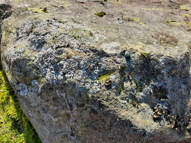
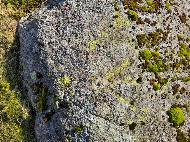
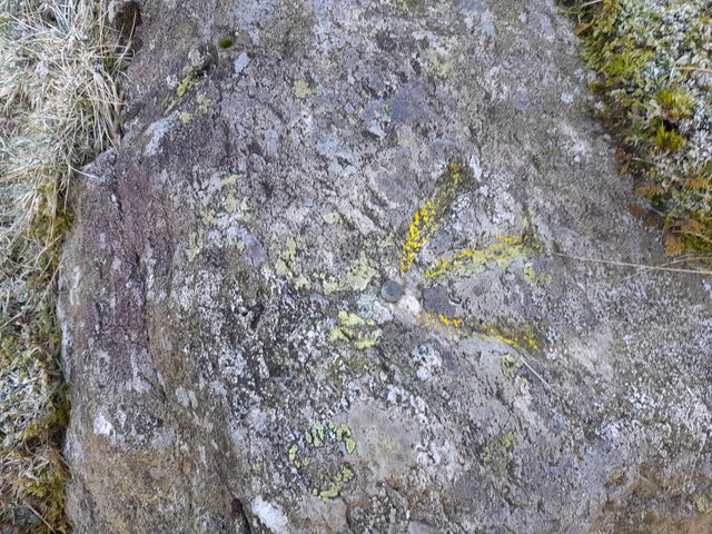
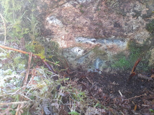
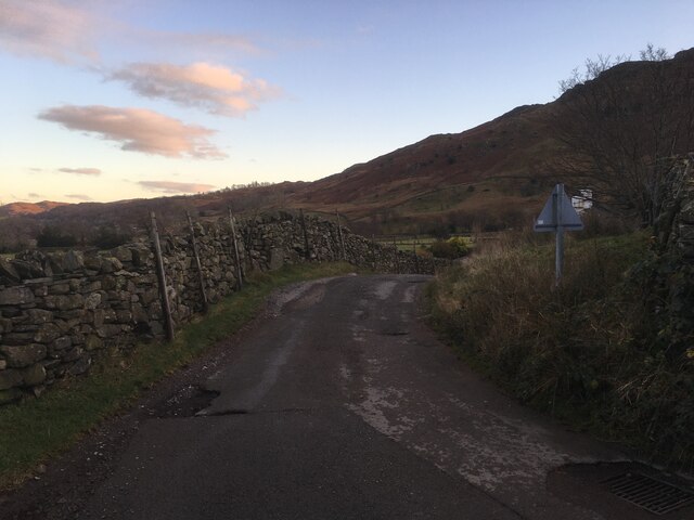
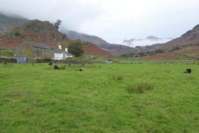
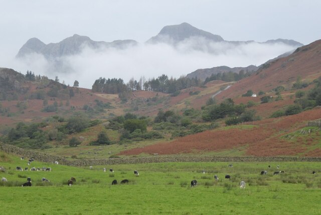
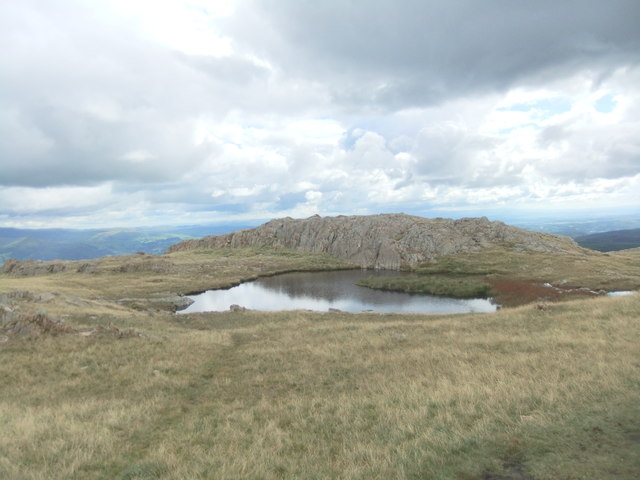
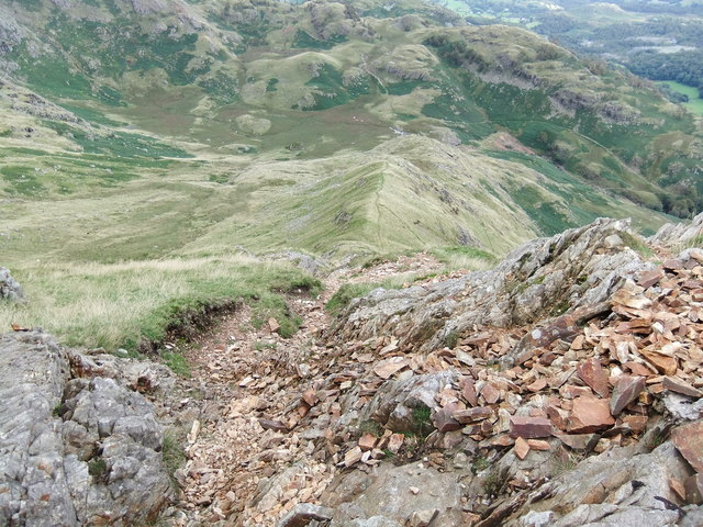
High Fell Images
Images are sourced within 2km of 54.405944/-3.0796011 or Grid Reference NY3001. Thanks to Geograph Open Source API. All images are credited.


High Fell is located at Grid Ref: NY3001 (Lat: 54.405944, Lng: -3.0796011)
Administrative County: Cumbria
District: South Lakeland
Police Authority: Cumbria
What 3 Words
///doubts.neat.improving. Near Ambleside, Cumbria
Nearby Locations
Related Wikis

Wetherlam
Wetherlam (763 m) is a mountain in the English Lake District. It is the most northerly of the Coniston Fells, the range of fells to the north-west of Coniston...

Ting Mound
The Ting Mound or Thing Moot at Fellfoot Farm, Little Langdale, Cumbria, England is an Ancient Monument (a 'nationally important' archaeological site)...

Slater's Bridge
Slater's Bridge is a traditional packhorse bridge in Little Langdale in the English Lake District, standing at National Grid Reference NY3120502996....

Holme Fell
Holme Fell or Holm Fell is a fell in the Lake District in Cumbria, England. It is located between Coniston Water and Little Langdale, almost isolated from...
Little Langdale
Little Langdale is a valley in the Lake District, England, containing Little Langdale Tarn and a hamlet also called Little Langdale. A second tarn, Blea...

Yew Tree Tarn
Yew Tree Tarn is a small lake in the English Lake District situated in between the towns of Ambleside and Coniston. The tarn was formed when the local...
Three Shire Stone (Lake District)
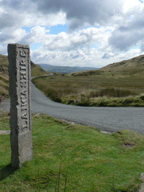
The Three Shire Stone is a boundary stone that marks the location where the historic English counties of Lancashire, Cumberland and Westmorland meet. The...

River Brathay
The Brathay is a river of north-west England. Its name comes from Old Norse and means broad river. It rises at a point 1289 feet (393 m) above sea level...
Related Videos

Lake District Walks | Walking the Wainwrights | Wetherlam via Coppermines Valley and Black Sails
Mid-October 2023, and Neil heads out of Coniston in the English Lake District on a clear, bright, but cold morning, up to ...

Lake District Circular Hike BLEA TARN & Side Pike | Witcher Walks
Exploring Blea Tarn and Side Pike, taking in the narrow, winding “Squeeze” route in a Witcher-themed walk! ⌖ Blea Tarn, Side ...

Low Water Sunrise / Fuji X100V #hiking #photography #landscapephotography
A quick BTS of a recent ascent of Low Water Beck beneath Coniston Old Man in the Lake District, full film photography video ...
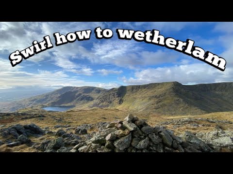
Swirl how to wetherlam/ Lake District/ hiking/ 24:2:23
Decided I would go to the Coniston area to do swirl how to wetherlam. The mountain forecast said no rain but I got soaked in the ...
Nearby Amenities
Located within 500m of 54.405944,-3.0796011Have you been to High Fell?
Leave your review of High Fell below (or comments, questions and feedback).