Blake Rigg
Hill, Mountain in Lancashire South Lakeland
England
Blake Rigg

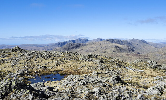
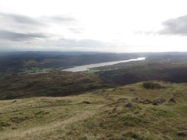
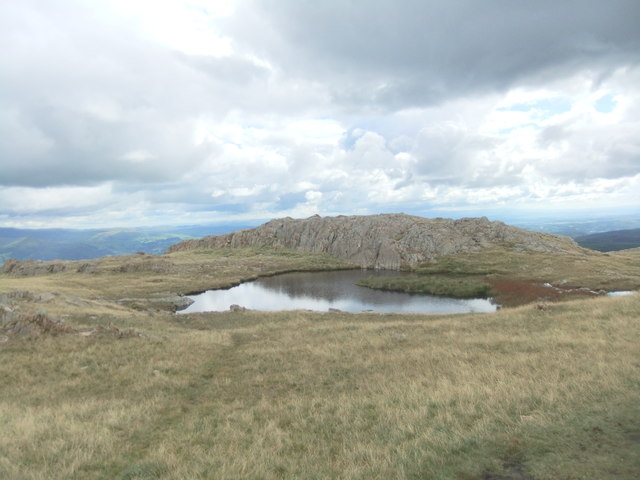
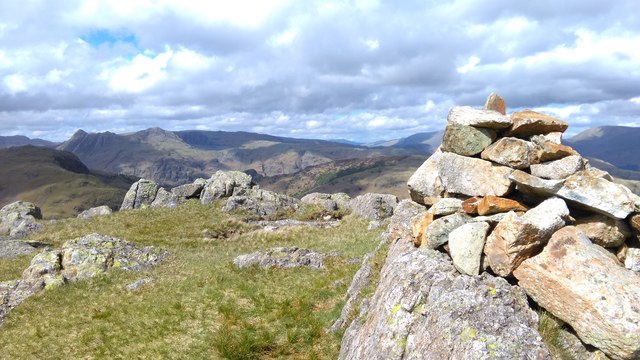
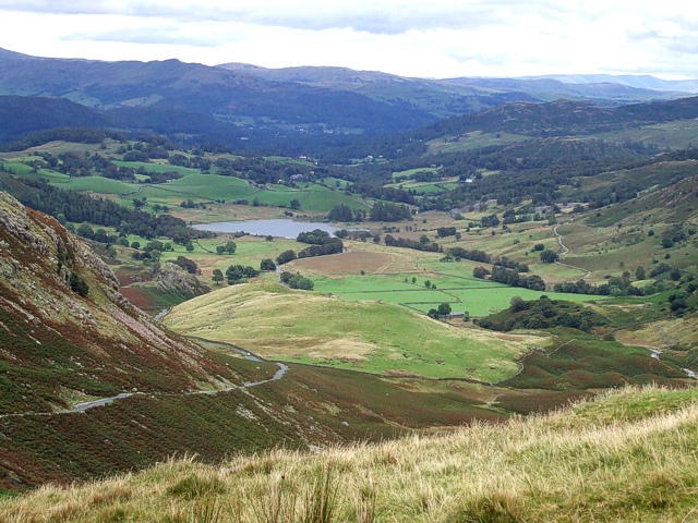
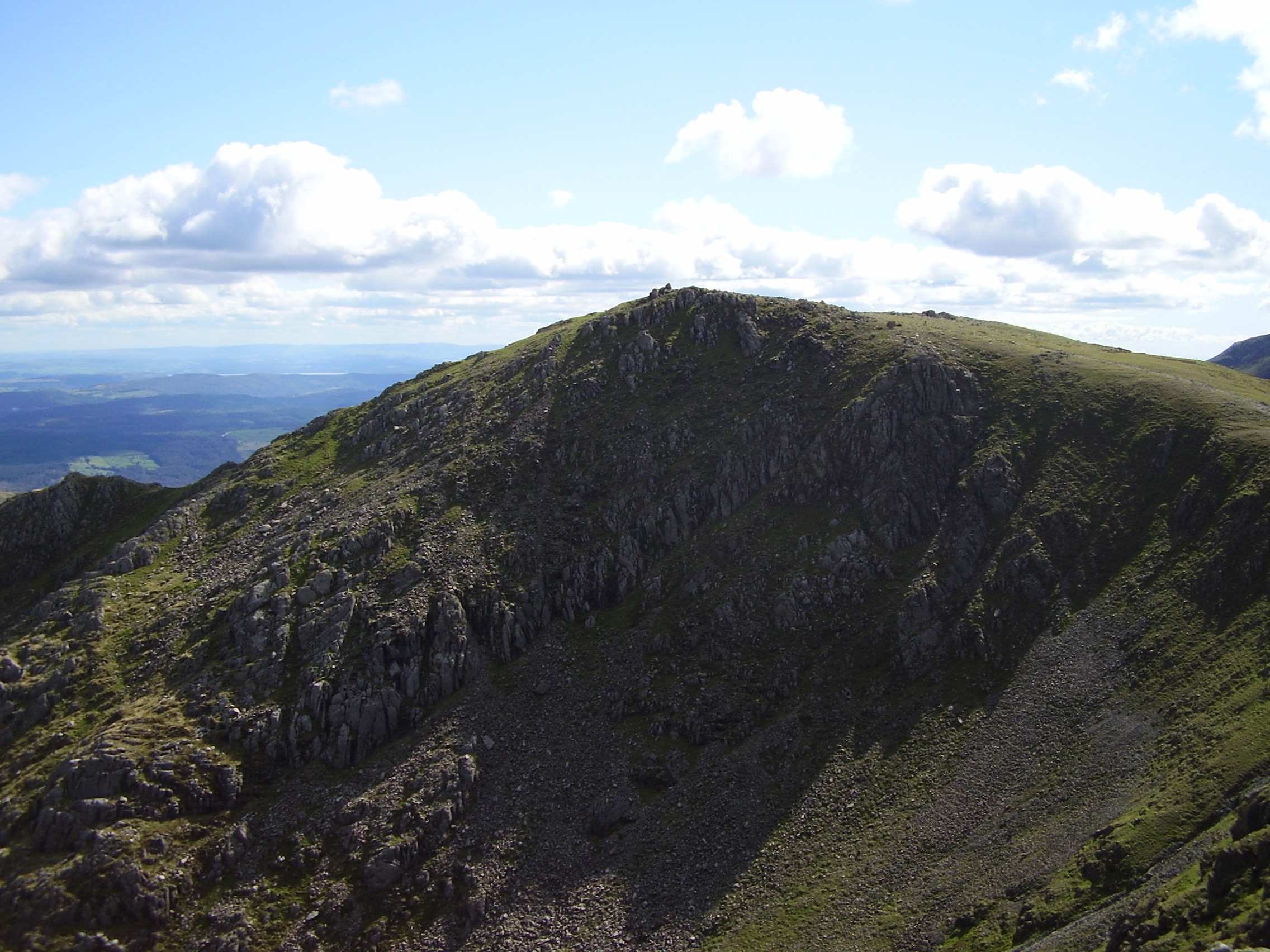
Blake Rigg, located in Lancashire, England, is a prominent hill/mountain that stands at an elevation of approximately 1,348 feet (411 meters) above sea level. Situated within the region of the Forest of Bowland Area of Outstanding Natural Beauty, it offers breathtaking panoramic views of the surrounding countryside.
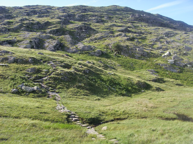
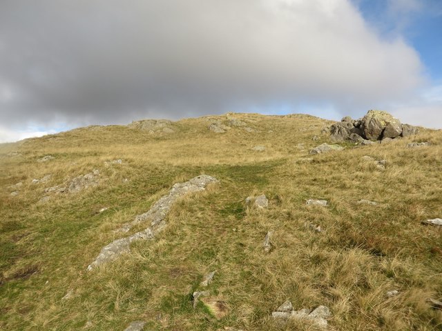
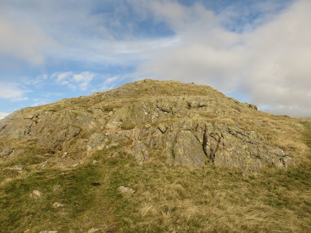
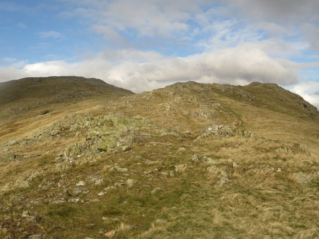
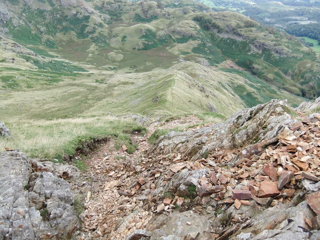
The hill/mountain is characterized by its distinctive conical shape, with steep slopes covered in a mixture of heather, grasses, and bracken. The summit of Blake Rigg is predominantly rocky, providing a challenging climb for hikers and mountaineers.
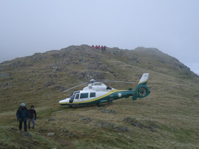
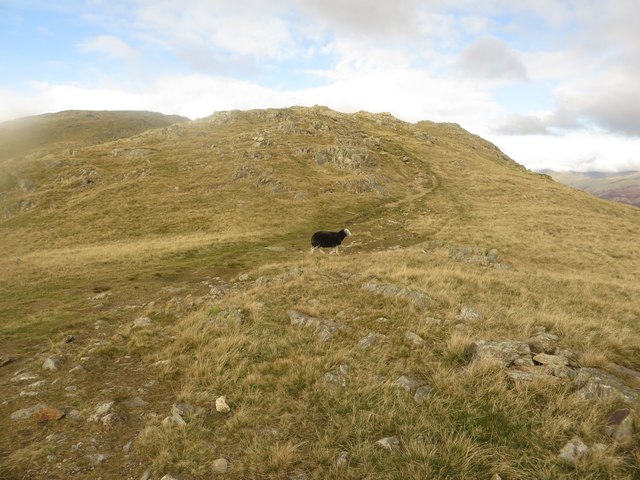
The area surrounding Blake Rigg is a haven for outdoor enthusiasts. With several well-marked trails and footpaths, it attracts walkers, hikers, and nature lovers throughout the year. The hill/mountain is particularly popular during the spring and summer months when the landscape bursts into life with vibrant wildflowers and an array of bird species.
The hill/mountain is also home to a variety of wildlife, including red grouse, skylarks, and hares. Birdwatchers flock to the area to catch a glimpse of the rare hen harrier, which occasionally visits the region.
Blake Rigg offers a peaceful and tranquil setting, allowing visitors to escape the hustle and bustle of everyday life. Its remote location ensures a serene experience, with little to no human-made structures in sight. However, there are a few small farms and cottages scattered nearby, adding to the charm and rural character of the area.
In conclusion, Blake Rigg in Lancashire is a beautiful hill/mountain that provides a stunning natural landscape, diverse wildlife, and a haven for outdoor enthusiasts seeking adventure and tranquility.
If you have any feedback on the listing, please let us know in the comments section below.
Blake Rigg Images
Images are sourced within 2km of 54.401263/-3.0783537 or Grid Reference NY3001. Thanks to Geograph Open Source API. All images are credited.


Blake Rigg is located at Grid Ref: NY3001 (Lat: 54.401263, Lng: -3.0783537)
Administrative County: Cumbria
District: South Lakeland
Police Authority: Cumbria
What 3 Words
///outlawing.abundance.edits. Near Ambleside, Cumbria
Nearby Locations
Related Wikis

Wetherlam
Wetherlam (763 m) is a mountain in the English Lake District. It is the most northerly of the Coniston Fells, the range of fells to the north-west of Coniston...

Holme Fell
Holme Fell or Holm Fell is a fell in the Lake District in Cumbria, England. It is located between Coniston Water and Little Langdale, almost isolated from...

Ting Mound
The Ting Mound or Thing Moot at Fellfoot Farm, Little Langdale, Cumbria, England is an Ancient Monument (a 'nationally important' archaeological site)...

Slater's Bridge
Slater's Bridge is a traditional packhorse bridge in Little Langdale in the English Lake District, standing at National Grid Reference NY3120502996....

Yew Tree Tarn
Yew Tree Tarn is a small lake in the English Lake District situated in between the towns of Ambleside and Coniston. The tarn was formed when the local...
Little Langdale
Little Langdale is a valley in the Lake District, England, containing Little Langdale Tarn and a hamlet also called Little Langdale. A second tarn, Blea...
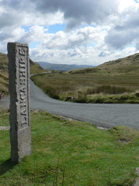
Three Shire Stone (Lake District)
The Three Shire Stone is a boundary stone that marks the location where the historic English counties of Lancashire, Cumberland and Westmorland meet. The...
Swirl How
Swirl How is a fell in the English Lake District. It stands between Coniston and the Duddon Valley in the southern part of the District. It rivals the...
Nearby Amenities
Located within 500m of 54.401263,-3.0783537Have you been to Blake Rigg?
Leave your review of Blake Rigg below (or comments, questions and feedback).