Englands Hill

Hill, Mountain in Midlothian

Scotland

Englands Hill

Shed display area, Dobbies Garden Centre Lasswade A range of outbuildings from small sheds and greenhouses to opulent summerhouses and home offices.
Shed display area, Dobbies Garden Centre Lasswade Credit: Jim Barton

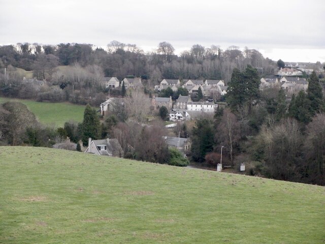
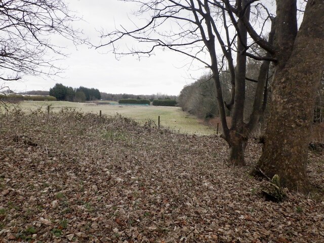
Englands Hill is a prominent hill located in Midlothian, Scotland. Situated in the southern part of the country, it is part of the scenic Pentland Hills Regional Park. With an elevation of approximately 456 meters (1,496 feet), Englands Hill offers breathtaking panoramic views of the surrounding landscape.

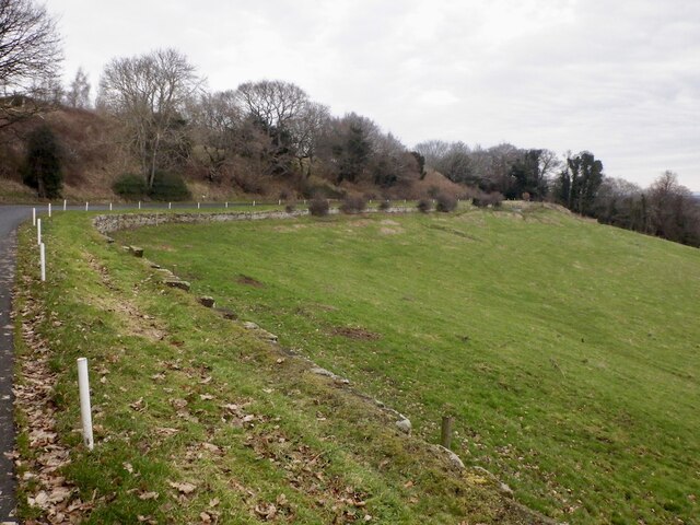
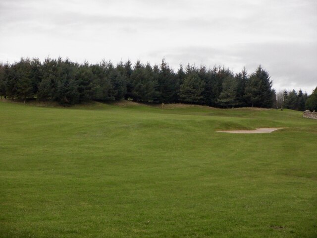
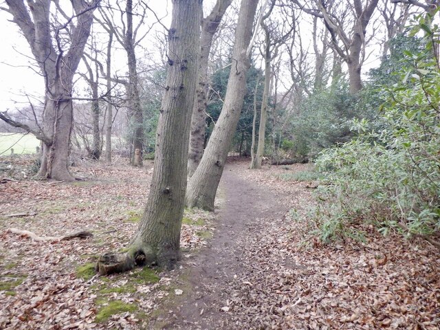
The hill is known for its distinctive shape, resembling a dome or cone, and is covered with lush green vegetation. It is a popular destination for hikers, nature enthusiasts, and photographers who are drawn to its natural beauty and tranquility. The varied terrain of Englands Hill provides an excellent opportunity for outdoor activities such as walking, hiking, and mountain biking.

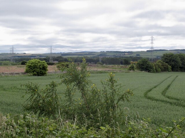
The summit of Englands Hill rewards climbers with stunning vistas across Midlothian and the Lothians, offering a glimpse of the rolling hills, farmland, and scattered villages that characterize the region. On clear days, it is even possible to see as far as the Firth of Forth estuary and the impressive skyline of Edinburgh, the capital city of Scotland.

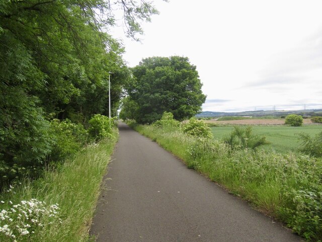
The hill is easily accessible, with several well-maintained trails and paths leading to the summit. These trails cater to different levels of fitness and abilities, making Englands Hill an ideal destination for both experienced hikers and beginners. Additionally, the surrounding area is home to a diverse array of flora and fauna, adding to the charm and appeal of this natural landmark.

Englands Hill stands as a testament to the natural beauty of Midlothian and offers a serene escape from the bustling city life, providing visitors with an opportunity to connect with nature and enjoy the stunning Scottish countryside.

If you have any feedback on the listing, please let us know in the comments section below.

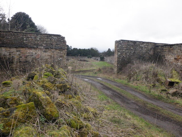
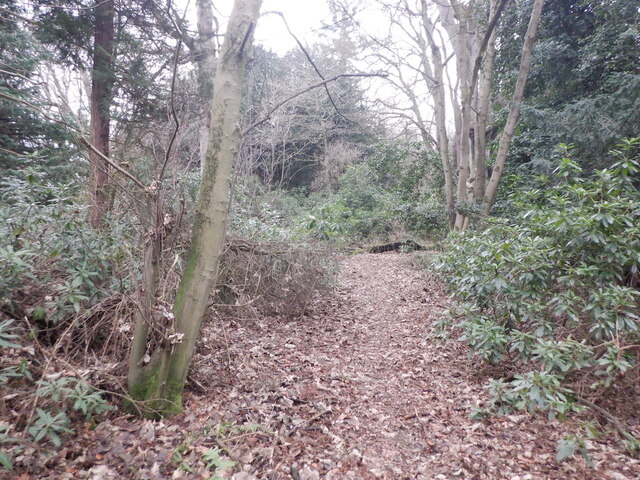
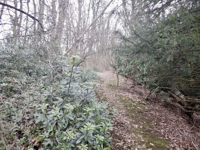
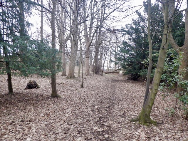
Englands Hill Images

Images are sourced within 2km of 55.895221/-3.1206587 or Grid Reference NT3067. Thanks to Geograph Open Source API. All images are credited.

Shed display area, Dobbies Garden Centre Lasswade A range of outbuildings from small sheds and greenhouses to opulent summerhouses and home offices.
Shed display area, Dobbies Garden Centre Lasswade
A range of outbuildings from small sheds and greenhouses to opulent summerhouses and home offices.
The Melville Inn near Lasswade Next to Dobbies Garden Centre and close to the A7.
The Melville Inn near Lasswade
Next to Dobbies Garden Centre and close to the A7.
Rails to trails, Drum The mineral line from Bilston Colliery is now a path
Rails to trails, Drum
The mineral line from Bilston Colliery is now a path
Wheat field between Drum and Todhills
Park and ride, Shawfair Gave it a go after a visit to the bank in Dalkeith - takes ages to get into town.
Park and ride, Shawfair
Gave it a go after a visit to the bank in Dalkeith - takes ages to get into town.
View over Lasswade
View over Lasswade
Road to Kings Acre golf courses
Golf course, King's Acre
Ruin near Melville Castle Beside the site of the gardens, now King's Acre golf.
Ruin near Melville Castle
Beside the site of the gardens, now King's Acre golf.
Former Melville Castle garden Walls near the King's Acre Driving Range on the plateau above Melville Castle.
Former Melville Castle garden
Walls near the King's Acre Driving Range on the plateau above Melville Castle.
Woodland above Melville Castle The usual rhododendrons near a large house.
Woodland above Melville Castle
The usual rhododendrons near a large house.
Woodland above Melville Castle
Woodland above Melville Castle There is a path through a stripwood from here which comes out on Gilmerton Road near Dobbies.
Woodland above Melville Castle
There is a path through a stripwood from here which comes out on Gilmerton Road near Dobbies.
Stripwood near Melville Cottages
Powerlines south of Drum Farmland within the City Bypass - ie doomed.
Powerlines south of Drum
Farmland within the City Bypass - ie doomed.
Bus stop, Gilmerton Road
Roadworks, Gilmerton Road
Show me another place!

Englands Hill is located at Grid Ref: NT3067 (Lat: 55.895221, Lng: -3.1206587)

Unitary Authority: Midlothian

Police Authority: The Lothians and Scottish Borders

What 3 Words

///copies.city.loves. Near Danderhall, Midlothian

Nearby Locations

Englands Hill

Related Wikis

Gilmerton railway station

Gilmerton railway station served the suburb of Gilmerton, historically in Edinburghshire and Midlothian, Scotland, from 1874 to 1959 on the Edinburgh,...
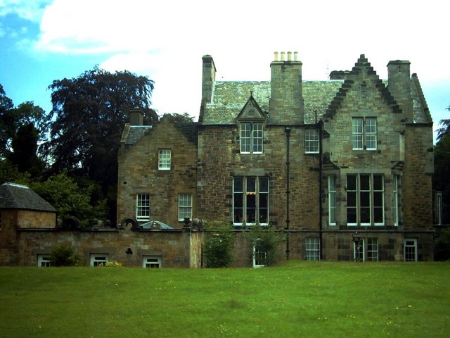
Melville Castle

Melville Castle is a three-storey Gothic castellated mansion situated less than a mile (2 km) west-south-west of Dalkeith, Midlothian, near the North Esk...

Lasswade

Lasswade is a village and civil parish in Midlothian, Scotland, on the River North Esk, nine miles (14.5 kilometres) south of Edinburgh city centre, contiguous...

Midlothian Coalfield

The Midlothian Coalfield is a coalfield in southeast Scotland situated immediately to the east and southeast of Edinburgh. It is geologically continuous...
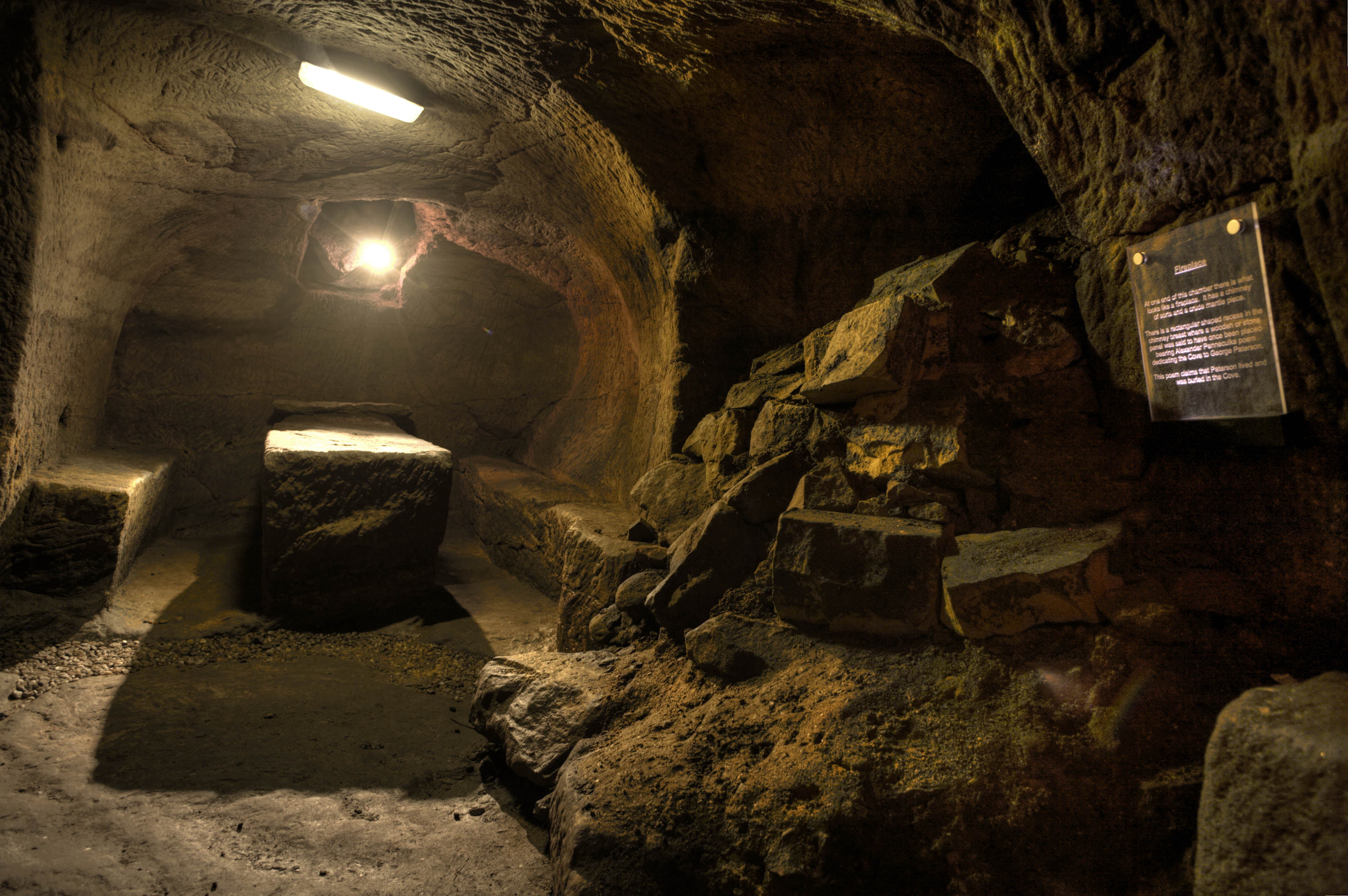
Gilmerton Cove

Gilmerton Cove is a series of underground passageways and chambers hand-carved from sandstone located beneath the streets of Gilmerton, an ex-mining village...

The Drum, Edinburgh

The Drum is an 18th-century country house and estate on the outskirts of Edinburgh, Scotland. Located between the Gilmerton and Danderhall areas, The Drum...

Lasswade and Rosewell Parish Church

Lasswade and Rosewell Parish Church serves the communities of Lasswade, Poltonhall and Rosewell, Midlothian, Scotland. It is a congregation of the Church...

Gilmerton

Gilmerton (Scottish Gaelic: Baile GhilleMhoire, IPA:[ˈpaləˈʝiːʎəˈvɔɾʲə]) is a suburb of Edinburgh, about 4 miles (6.4 km) southeast of the city centre...

Nearby Amenities

Located within 500m of 55.895221,-3.1206587
Motorway Junction
Gilmerton Junction
Source: survey
Lat/Long: 55.8974678/-3.1195533
Design: three-level
Power: tower
Lat/Long: 55.8954343/-3.1273268
Design: three-level
Power: tower
Lat/Long: 55.8958117/-3.1281634
Design: three-level
Power: tower
Lat/Long: 55.8971807/-3.1243033
Design: three-level
Power: tower
Lat/Long: 55.8971846/-3.122396
Design: three-level
Power: tower
Lat/Long: 55.8984752/-3.1206854
Design: three-level
Power: tower
Lat/Long: 55.8989498/-3.1174516
Power: tower
Lat/Long: 55.8968622/-3.1196824
Power: tower
Lat/Long: 55.8952176/-3.1232115
Power: tower
Lat/Long: 55.8933802/-3.1271076
Material: wood
Power: pole
Lat/Long: 55.895571/-3.1197792
Material: wood
Power: pole
Lat/Long: 55.8958883/-3.1194064
Material: wood
Power: pole
Lat/Long: 55.8962176/-3.1185401
Material: wood
Power: pole
Lat/Long: 55.89655/-3.117663
Material: wood
Power: pole
Lat/Long: 55.8969184/-3.1167027
Material: wood
Power: pole
Lat/Long: 55.8972433/-3.1154501
Material: wood
Power: pole
Lat/Long: 55.8975666/-3.1142995
Golf: pin
Lat/Long: 55.8942234/-3.1186889
Golf: pin
Lat/Long: 55.8947821/-3.1200139
Golf: pin
Lat/Long: 55.8942881/-3.1245831
Golf: pin
Lat/Long: 55.8932834/-3.1259295
Golf: pin
Lat/Long: 55.8917899/-3.1191757
Golf: pin
Lat/Long: 55.8916004/-3.1166035
Golf: pin
Lat/Long: 55.8934045/-3.1246273
Golf: pin
Lat/Long: 55.8936384/-3.1176509
Power: pole
Lat/Long: 55.8951628/-3.1191144
Power: pole
Lat/Long: 55.8947212/-3.1183559
Power: pole
Lat/Long: 55.8942421/-3.1175433
Power: pole
Lat/Long: 55.8937631/-3.1167244
Power: pole
Lat/Long: 55.8931217/-3.1156575
Power: pole
Lat/Long: 55.8924884/-3.1145845
The data included in this document is from www.openstreetmap.org. The data is made available under ODbL.

Have you been to Englands Hill?

Leave your review of Englands Hill below (or comments, questions and feedback).