Auchendona Hill
Hill, Mountain in Dumfriesshire
Scotland
Auchendona Hill

Auchendona Hill is a prominent feature located in Dumfriesshire, Scotland. It is classified as a hill rather than a mountain, with an elevation of approximately 394 meters (1,293 feet) above sea level. It is situated near the village of Moniaive, offering scenic views of the surrounding countryside.
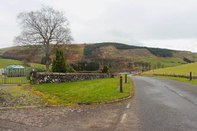
The hill is characterized by its gentle slopes covered in grass and heather, making it an ideal location for leisurely walks and hikes. Its accessibility and moderate elevation make it suitable for individuals of all fitness levels. The summit provides stunning panoramic vistas, allowing visitors to appreciate the natural beauty of the area.
Auchendona Hill is a popular attraction for nature enthusiasts, bird watchers, and photographers. It supports a diverse range of flora and fauna, including various species of birds, wildflowers, and small mammals. The hill is also home to a variety of ancient archaeological sites, such as cairns and burial mounds, which offer insights into the area's rich history and heritage.
The surrounding landscape of Auchendona Hill is characterized by rolling hills, woodlands, and quaint villages. The hill's proximity to Moniaive allows visitors to explore the village's charming amenities, including local cafes, shops, and accommodations.
Overall, Auchendona Hill provides a tranquil and picturesque setting for outdoor enthusiasts seeking to immerse themselves in the natural beauty and history of Dumfriesshire. Whether it be for a leisurely stroll or a more challenging hike, this hill offers a rewarding experience for all who venture to its summit.
If you have any feedback on the listing, please let us know in the comments section below.
Auchendona Hill Images
Images are sourced within 2km of 55.191925/-3.1009652 or Grid Reference NY3089. Thanks to Geograph Open Source API. All images are credited.


Auchendona Hill is located at Grid Ref: NY3089 (Lat: 55.191925, Lng: -3.1009652)
Unitary Authority: Dumfries and Galloway
Police Authority: Dumfries and Galloway
What 3 Words
///nuzzled.audibly.financial. Near Bentpath, Dumfries & Galloway
Nearby Locations
Related Wikis

Bentpath
Bentpath is a small village between Eskdalemuir and Langholm in Dumfries and Galloway, Scotland. It is located on the River Esk and has a church and a...

Eskdale (Scotland)
Eskdale (Scottish Gaelic: Eisgeadal, IPA:[ˈeʃkʲət̪əɫ̪]) is a glen and former lordship in the county of Dumfriesshire, Scotland. The River Esk flows through...
Barntalloch Castle
Barntalloch Castle was a castle located at Staplegorton, in Dumfries and Galloway, Scotland. The castle was built in the 12th century by Galfrid de Coninsburgh...

Duchess Bridge
The Duchess Bridge is a cast iron footbridge over the River Esk in Dumfries and Galloway, Scotland. It was built for Charles Montagu-Scott, 4th Duke of...

Ewesdale
Ewesdale is a glen and former lordship in Dumfries and Galloway, Scotland. The Ewes Water runs through the valley from its source at Mosspaul, until it...
Wauchope Castle
Wauchope Castle was a castle located at Wauchope, in Dumfries and Galloway, Scotland. The castle was a stronghold of the Lindsay family. It was the caput...

Langholm Academy
Langholm Academy is a non-denominational, co-educational six-year comprehensive secondary school in Langholm, Scotland. Currently, the school has 240 pupils...

Whitcastles stone circle
Whitcastles or Little Hartfell (grid reference NY 2240 8806) is a stone circle 6½ miles NE of Lockerbie, Dumfries and Galloway. Nine fallen stones lie...
Have you been to Auchendona Hill?
Leave your review of Auchendona Hill below (or comments, questions and feedback).