Broad Moss

Downs, Moorland in Lancashire South Lakeland

England

Broad Moss

Ordnance Survey Rivet This OS rivet can be found on a rock north side of the road. It marks a point 186.041m above mean sea level.
Ordnance Survey Rivet Credit: Adrian Dust

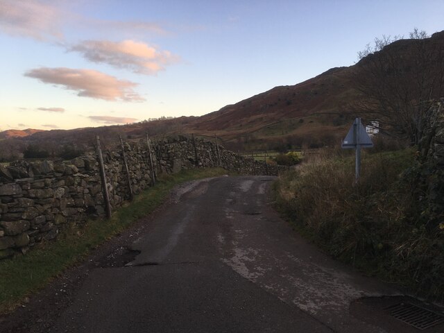
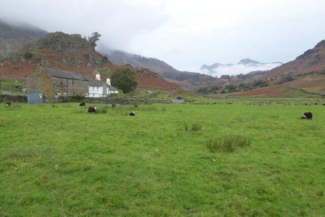
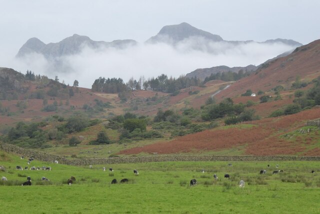
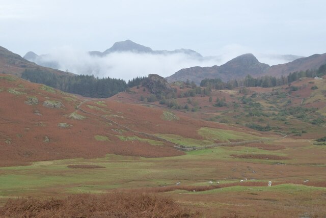
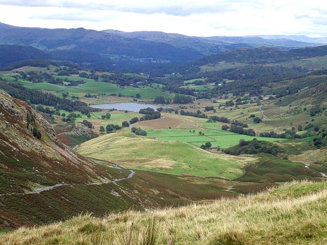
Broad Moss is a picturesque area located in Lancashire, England. Nestled amidst the stunning countryside, it is known for its vast expanses of downs and moorland, offering visitors a tranquil and idyllic retreat. The region boasts an array of natural features, including rolling hills, heather-covered moors, and scattered woodlands, creating a diverse and captivating landscape.

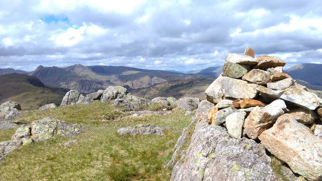
Broad Moss is a haven for outdoor enthusiasts, providing ample opportunities for hiking, cycling, and wildlife spotting. The downs provide panoramic views of the surrounding countryside, with gentle slopes allowing for pleasant walks and picnics. In the summer months, the moorland is transformed into a sea of vibrant purple as the heather blooms, creating a breathtaking sight.

The area is home to a rich variety of flora and fauna. Rare plant species can be found dotted across the moorland, while the woodlands provide a habitat for numerous bird species and small mammals. Keen observers may even catch a glimpse of the elusive red deer that roam the area.

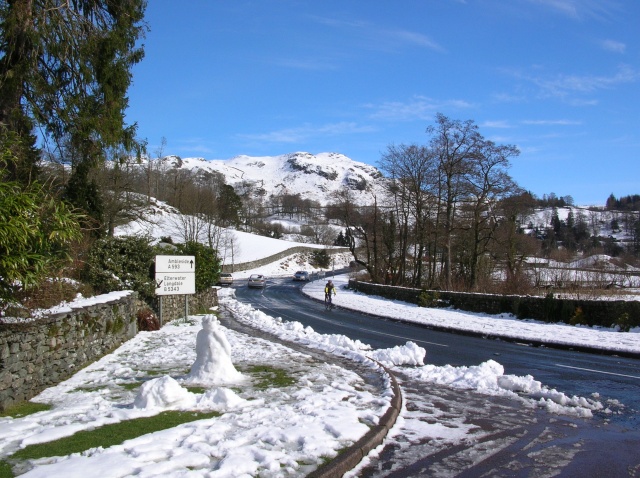
Despite its remote location, Broad Moss is easily accessible by road, with a network of well-maintained country lanes leading to the area. Nearby villages offer charming accommodations and quaint pubs, allowing visitors to fully immerse themselves in the local culture.

Broad Moss, Lancashire, is a hidden gem within the heart of England's countryside. With its breathtaking natural beauty and abundance of outdoor activities, it is a destination that appeals to nature lovers and those seeking a peaceful escape from the hustle and bustle of everyday life.

If you have any feedback on the listing, please let us know in the comments section below.
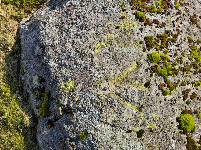
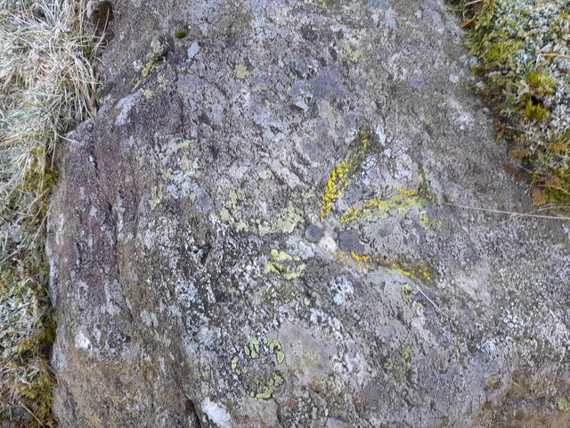
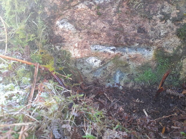
Broad Moss Images

Images are sourced within 2km of 54.412103/-3.0671125 or Grid Reference NY3002. Thanks to Geograph Open Source API. All images are credited.

Ordnance Survey Rivet This OS rivet can be found on a rock north side of the road. It marks a point 186.041m above mean sea level.
Ordnance Survey Rivet
This OS rivet can be found on a rock north side of the road. It marks a point 186.041m above mean sea level.
Ordnance Survey Rivet This OS rivet can be found on a rock south side of the road. It marks a point 167.817m above mean sea level.
Ordnance Survey Rivet
This OS rivet can be found on a rock south side of the road. It marks a point 167.817m above mean sea level.
Ordnance Survey Cut Mark This OS cut mark can be found on a rock south side of the road. It marks a point 149.959m above mean sea level.
Ordnance Survey Cut Mark
This OS cut mark can be found on a rock south side of the road. It marks a point 149.959m above mean sea level.
Eastern end of the Wrynose Pass
Fell Foot Fell Foot in Little Langdale with the Langdale Pikes in the distance in cloud.
Fell Foot
Fell Foot in Little Langdale with the Langdale Pikes in the distance in cloud.
The Langdale Pikes The Langdale Pikes viewed from near Fell Foot in Little Langdale.
The Langdale Pikes
The Langdale Pikes viewed from near Fell Foot in Little Langdale.
View to the Langdale Pikes View to the Langdale Pikes from near The Mound in Little Langdale.
View to the Langdale Pikes
View to the Langdale Pikes from near The Mound in Little Langdale.
Greenburn copper mine In the foreground is the waterwheel pit. The mine closed in 1917.
Greenburn copper mine
In the foreground is the waterwheel pit. The mine closed in 1917.
Summit Cairn on Birk Fell With grand views of the Langdales in the distance.
Summit Cairn on Birk Fell
With grand views of the Langdales in the distance.
Footpath crossing Blea Moss A footpath crossing Blea Moss through a sea of bracken.
Footpath crossing Blea Moss
A footpath crossing Blea Moss through a sea of bracken.
Road rounding Castle Howe The minor road at the foot of the Wrynose Pass rounds the rock outcrop of Castle Howe.
Road rounding Castle Howe
The minor road at the foot of the Wrynose Pass rounds the rock outcrop of Castle Howe.
Pastures at Fell Foot Looking across grass pastures at Fell Foot. The stone barn at Vicars is in the distance.
Pastures at Fell Foot
Looking across grass pastures at Fell Foot. The stone barn at Vicars is in the distance.
View east from Wrynose Pass, Cumbria The view from Three Shire Stones near the Wrynose Pass, between the Pike of Blisco and Tilberthwaite Fells looking east, with Little Langdale Tarn in the far distance, and Widdy Gill in the centre of the picture.
View east from Wrynose Pass, Cumbria
The view from Three Shire Stones near the Wrynose Pass, between the Pike of Blisco and Tilberthwaite Fells looking east, with Little Langdale Tarn in the far distance, and Widdy Gill in the centre of the picture.
On Hawk Rigg A perfect spring day on the fells
On Hawk Rigg
A perfect spring day on the fells
Valley of the Greenburn & its Copper Mine Five copper rich lodes (or veins) were discovered in this small valley and they were worked for centuries, although most of these buildings date from the mid 19thC when production stepped up a gear or two. Approximately £25000 worth of copper pyrites was won from these mines before the end of the 19thC, and mining continued into the 20thC, although with less success.
Mining aside, the views are simply stunning.
Valley of the Greenburn & its Copper Mine
Five copper rich lodes (or veins) were discovered in this small valley and they were worked for centuries, although most of these buildings date from the mid 19thC when production stepped up a gear or two. Approximately £25000 worth of copper pyrites was won from these mines before the end of the 19thC, and mining continued into the 20thC, although with less success. Mining aside, the views are simply stunning.
The miners incline A well lined and graded track that winds its way up the hill from the works to the adits. 
The valley of Little Langdale is off to the left.
The miners incline
A well lined and graded track that winds its way up the hill from the works to the adits. The valley of Little Langdale is off to the left.
Greenburn Mine site Ruined buildings with mine spoil and no doubt other waste heaps.
Lingmoor is the shadowed hill on the middle-distance.
Greenburn Mine site
Ruined buildings with mine spoil and no doubt other waste heaps. Lingmoor is the shadowed hill on the middle-distance.
Birk Fell Birk Fell, at the centre of the image, is a feature of the north-east ridge of Wetherlam.
Birk Fell
Birk Fell, at the centre of the image, is a feature of the north-east ridge of Wetherlam.
Show me another place!

Broad Moss is located at Grid Ref: NY3002 (Lat: 54.412103, Lng: -3.0671125)

Administrative County: Cumbria

District: South Lakeland

Police Authority: Cumbria

What 3 Words

///nerves.lentil.boasted. Near Ambleside, Cumbria

Related Wikis

Slater's Bridge

Slater's Bridge is a traditional packhorse bridge in Little Langdale in the English Lake District, standing at National Grid Reference NY3120502996....

Little Langdale

Little Langdale is a valley in the Lake District, England, containing Little Langdale Tarn and a hamlet also called Little Langdale. A second tarn, Blea...

Ting Mound

The Ting Mound or Thing Moot at Fellfoot Farm, Little Langdale, Cumbria, England is an Ancient Monument (a 'nationally important' archaeological site)...

Holme Fell

Holme Fell or Holm Fell is a fell in the Lake District in Cumbria, England. It is located between Coniston Water and Little Langdale, almost isolated from...

Lingmoor Fell

Lingmoor Fell is a fell in the English Lake District, situated eight kilometres (five miles) west of Ambleside. The fell reaches a height of 469 m (1,540...

Yew Tree Tarn

Yew Tree Tarn is a small lake in the English Lake District situated in between the towns of Ambleside and Coniston. The tarn was formed when the local...

Wetherlam

Wetherlam (763 m) is a mountain in the English Lake District. It is the most northerly of the Coniston Fells, the range of fells to the north-west of Coniston...

Skelwith

Skelwith is a civil parish in South Lakeland, Cumbria, England, which includes the village of Skelwith Bridge. In the 2001 census the parish had a population...

Nearby Amenities

Located within 500m of 54.412103,-3.0671125
Ford: yes
Lat/Long: 54.4145519/-3.0622455
Broad Moss
Natural: wetland
Source: OS StreetView
Wetland: marsh
Lat/Long: 54.4117151/-3.0668191
Betsy Crag
Place: locality
Lat/Long: 54.4098838/-3.0707806
Noexit: yes
Lat/Long: 54.4104563/-3.0667681
Barrier: kissing_gate
Source: survey;gps
Lat/Long: 54.4146417/-3.0671179
Barrier: stile
Material: wood
Source: survey;gps
Stile: stepover
Lat/Long: 54.4162705/-3.0654066
Sty Rigg Quarry
Abandoned: yes
Landuse: quarry
Lat/Long: 54.4086689/-3.0635601
Broad Moss Quarry
Abandoned: yes
Landuse: quarry
Lat/Long: 54.4098267/-3.0630091
Sty Rigg
Place: locality
Lat/Long: 54.4102225/-3.0647088
Barrier: stile
Lat/Long: 54.4154323/-3.0624008
Direction: 0
Man Made: adit
Lat/Long: 54.4086889/-3.0657525
Barrier: stile
Lat/Long: 54.411898/-3.0678051
Noexit: yes
Lat/Long: 54.4127712/-3.0676197
Hiking: yes
Information: guidepost
Source: GPS Survey
Tourism: information
Lat/Long: 54.4098834/-3.0651668
Abandoned: yes
Man Made: adit
Source: GPS Survey
Lat/Long: 54.4126642/-3.0679616
Noexit: yes
Lat/Long: 54.4111486/-3.0694127
Noexit: yes
Lat/Long: 54.412018/-3.0692022
Noexit: yes
Lat/Long: 54.412651/-3.068832
Noexit: yes
Lat/Long: 54.4131516/-3.0694342
Power: pole
Lat/Long: 54.4163938/-3.0661475
Power: pole
Lat/Long: 54.4160609/-3.0666552
The data included in this document is from www.openstreetmap.org. The data is made available under ODbL.

Have you been to Broad Moss?

Leave your review of Broad Moss below (or comments, questions and feedback).