Whitehill Moss
Downs, Moorland in Dumfriesshire
Scotland
Whitehill Moss

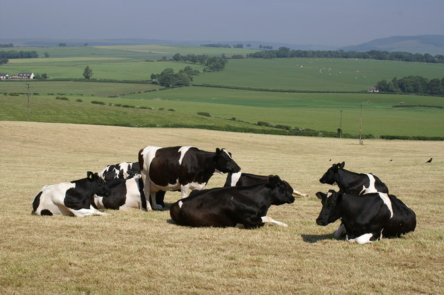
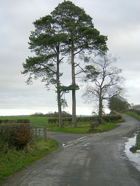
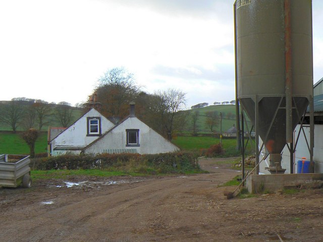
Whitehill Moss is a vast expanse of moorland located in Dumfriesshire, Scotland. Covering an area of approximately 500 acres, it is renowned for its unique and diverse ecological features. The moss is situated in a relatively remote and isolated location, providing a peaceful and tranquil environment for visitors.
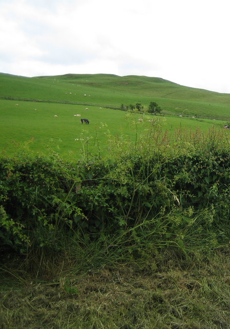
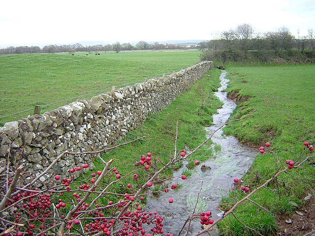
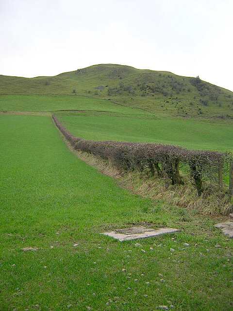
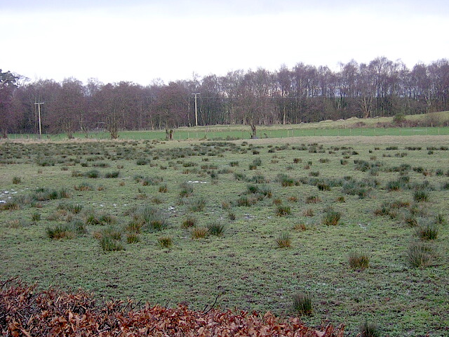
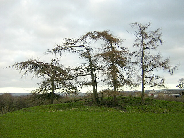
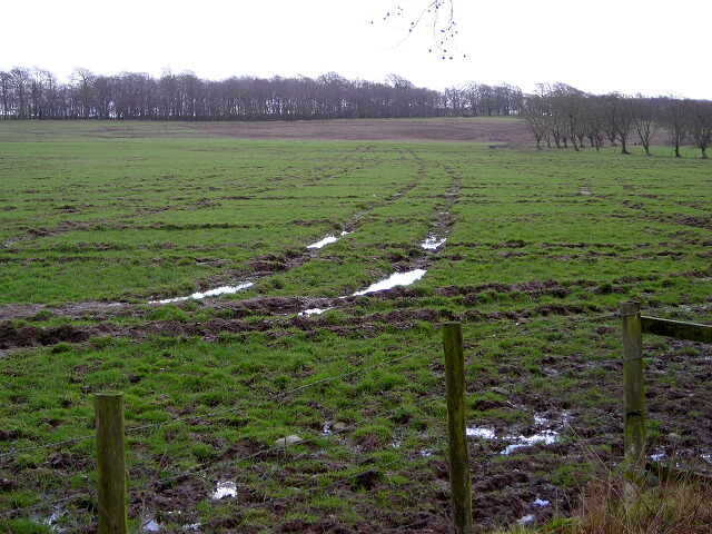
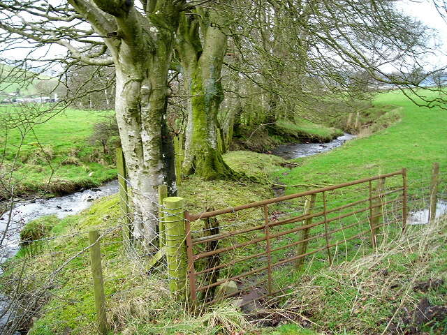
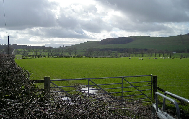
The terrain of Whitehill Moss is characterized by gently rolling hills and expansive open spaces. The area is predominantly covered in heather and grass, interspersed with patches of bog and marshland. These wetland areas are home to a variety of rare and protected plant species, such as wild orchids and sundew.
The moss is teeming with wildlife, making it a popular destination for nature enthusiasts and birdwatchers. It serves as a habitat for a wide range of bird species, including curlews, lapwings, and red grouse. The surrounding hills provide nesting grounds for predatory birds like kestrels and buzzards.
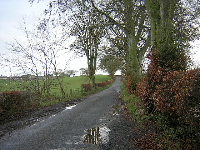
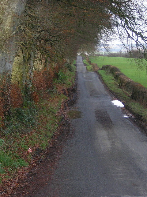
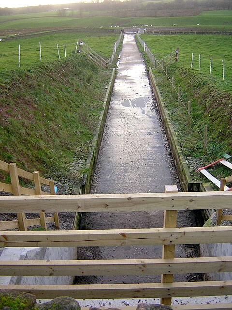
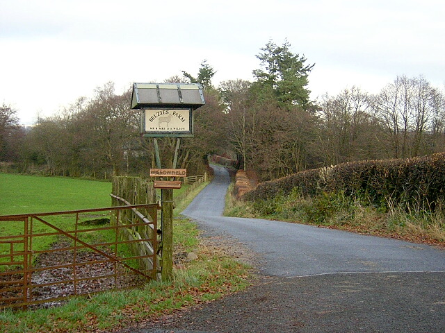
Visitors to Whitehill Moss can enjoy a range of recreational activities, including hiking, birdwatching, and photography. There are several well-maintained walking trails that take visitors through the heart of the moss, allowing them to explore the diverse flora and fauna.
Whitehill Moss offers a unique opportunity to experience the beauty and serenity of Scotland's moorland landscapes. Its unspoiled natural surroundings and rich biodiversity make it a must-visit destination for nature lovers and those seeking a peaceful retreat in Dumfriesshire.
If you have any feedback on the listing, please let us know in the comments section below.
Whitehill Moss Images
Images are sourced within 2km of 55.136148/-3.5108311 or Grid Reference NY0383. Thanks to Geograph Open Source API. All images are credited.


Whitehill Moss is located at Grid Ref: NY0383 (Lat: 55.136148, Lng: -3.5108311)
Unitary Authority: Dumfries and Galloway
Police Authority: Dumfries and Galloway
What 3 Words
///overhaul.sapping.grower. Near Lochmaben, Dumfries & Galloway
Nearby Locations
Related Wikis

Shieldhill railway station
Shieldhill railway station was a station which served Shieldhill, in the Scottish county of Dumfries and Galloway. It was served by trains on a local line...

Dumfriesshire
Dumfriesshire or the County of Dumfries or Shire of Dumfries (Scottish Gaelic: Siorrachd Dhùn Phris) is a historic county and registration county in southern...

Amisfield
Amisfield is a village in Dumfries and Galloway, Scotland. It is located about 5 miles north of Dumfries and next to the A701 Dumfries to Edinburgh road...

Lochmaben Hospital
Lochmaben Hospital is a health facility in Woodlands Drive, Lochmaben, Dumfries and Galloway, Scotland. It is managed by NHS Dumfries and Galloway. �...
Nearby Amenities
Located within 500m of 55.136148,-3.5108311Have you been to Whitehill Moss?
Leave your review of Whitehill Moss below (or comments, questions and feedback).