Combe Downs
Downs, Moorland in Somerset Somerset West and Taunton
England
Combe Downs
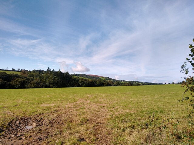
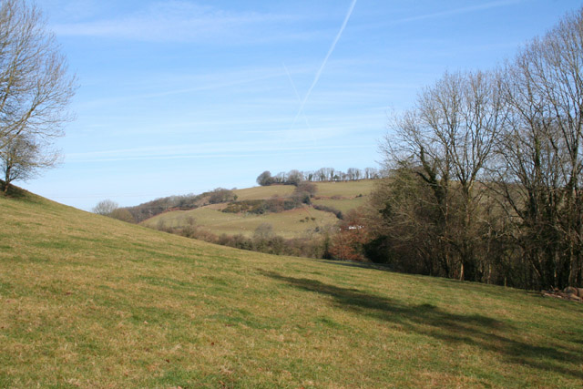
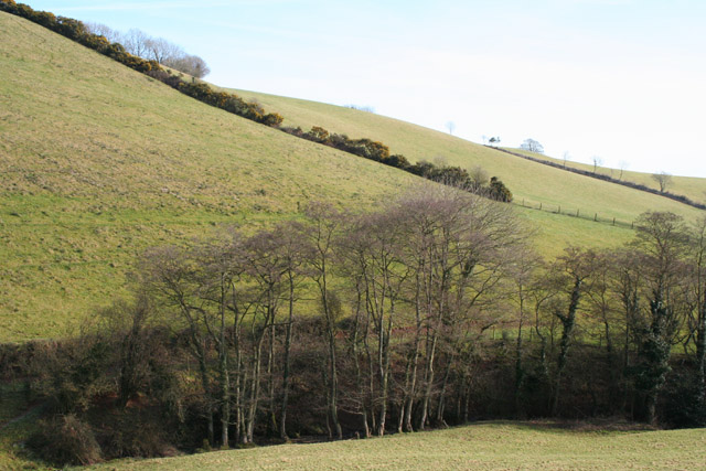
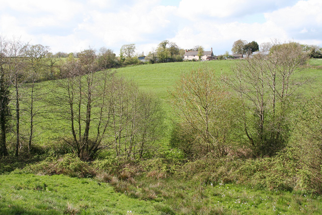
Combe Downs is a village located in the county of Somerset, England. Situated on the southern edge of the city of Bath, it is part of the Bath and North East Somerset district. Combe Downs is nestled on the edge of the Mendip Hills, offering breathtaking views of the surrounding countryside and moorland.
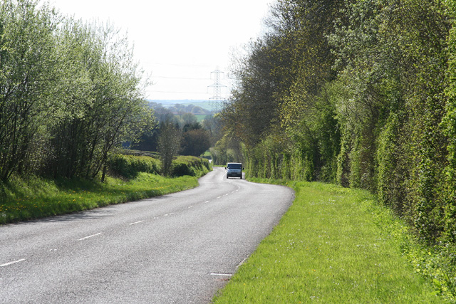
The village is known for its picturesque setting and charming atmosphere. With its proximity to Bath, residents can enjoy a peaceful rural lifestyle while still having access to the amenities and cultural attractions of the city.
Combe Downs is renowned for its historical significance. The area was once a hub for mining, particularly for the extraction of Bath stone, a type of limestone used in the construction of many iconic buildings in Bath, including the Roman Baths and Bath Abbey. The remnants of these mining activities can still be seen today, with several disused quarries and mine entrances scattered across the area.
The village is well-served by local amenities, including a primary school, village hall, and a range of shops and cafes. The community spirit is strong in Combe Downs, with various social and cultural events taking place throughout the year.
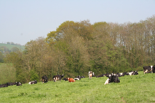
For outdoor enthusiasts, Combe Downs offers plenty of opportunities for recreation. The surrounding moorland and hills are perfect for hiking, cycling, and nature walks. The area is also home to several nature reserves, providing habitats for a diverse range of flora and fauna.
Overall, Combe Downs is a charming village that combines historical significance with natural beauty, making it an attractive place to live or visit for those seeking a peaceful countryside setting within easy reach of city amenities.
If you have any feedback on the listing, please let us know in the comments section below.
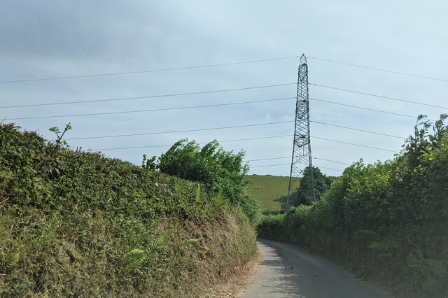
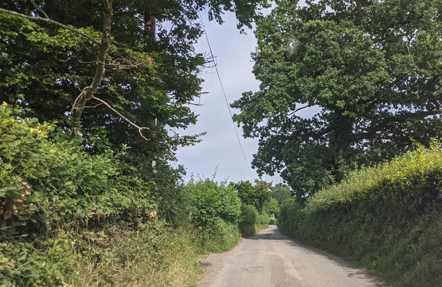
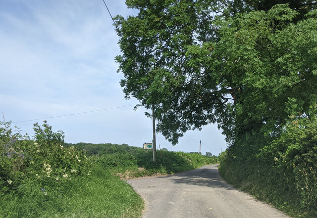
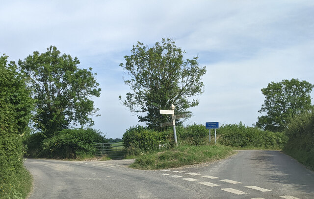
Combe Downs Images
Images are sourced within 2km of 51.00437/-3.3727109 or Grid Reference ST0323. Thanks to Geograph Open Source API. All images are credited.


Combe Downs is located at Grid Ref: ST0323 (Lat: 51.00437, Lng: -3.3727109)
Administrative County: Somerset
District: Somerset West and Taunton
Police Authority: Avon and Somerset
What 3 Words
///fatter.sketching.party. Near Wiveliscombe, Somerset
Nearby Locations
Related Wikis

Clayhanger, Devon
Clayhanger is a hamlet and civil parish in the Mid Devon district of Devon, England. At the time of the 2011 census it had a population of 127. == Roman... ==

Castles Camp
Castles Camp is a univallate Iron Age hill fort in the Taunton Deane district of Somerset, England. The hill fort is situated approximately 1 mile (1.6...

Ashbrittle
Ashbrittle is a village and civil parish in Somerset, England, situated nine miles west of Taunton and close to the River Tone and the route of the Grand...

Church of St John the Baptist, Ashbrittle
The Church of St John the Baptist is a Church of England parish church in Ashbrittle, Somerset. It was built in the 15th century, and is a Grade II* listed...

Stawley
Stawley is a village and civil parish in Somerset, England, situated 10 miles (16.1 km) west of Taunton. The parish has a population of 279 and includes...

Hill Farm, Stawley
Hill Farm in Stawley, Somerset, England was built in the late 16th century. It is a Grade II* listed building. == History == The farmhouse was built in...

Petton, Devon
Petton, also known as Petton Cross, is an English village in the civil parish of Bampton, the district of Mid Devon, and the county of Devon. It lies on...

Church of All Saints, Chipstable
The Church of All Saints is an Anglican church in Chipstable, Somerset, England which probably dates from the early 13th century. It is located in the...
Nearby Amenities
Located within 500m of 51.00437,-3.3727109Have you been to Combe Downs?
Leave your review of Combe Downs below (or comments, questions and feedback).