Hightown Hill
Hill, Mountain in Dumfriesshire
Scotland
Hightown Hill
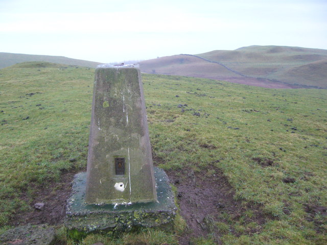
Hightown Hill is a prominent hill located in the south-west of Scotland, specifically in the region of Dumfriesshire. Standing at an elevation of approximately 512 meters (1,680 feet), it is often referred to as a hill rather than a mountain due to its relatively modest height. Nevertheless, it offers breathtaking views and is a popular destination for hikers and nature enthusiasts.
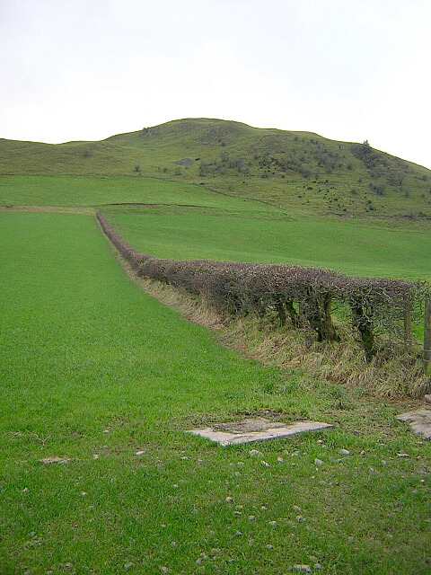
Covered in heather and grass, Hightown Hill is characterized by its rolling slopes and rocky outcrops, lending it a picturesque and rugged appearance. The hill is situated within the Southern Uplands, a mountain range that stretches across southern Scotland. As such, it forms part of the picturesque landscape that this region is renowned for.
Hikers and climbers are drawn to Hightown Hill for its relatively accessible trails, making it an ideal destination for both beginners and experienced outdoor enthusiasts. The summit provides panoramic views of the surrounding countryside, including the nearby towns of Thornhill and Dumfries, as well as glimpses of the distant hills and valleys.
Wildlife is abundant in the area surrounding Hightown Hill, with various species of birds, such as red grouse and peregrine falcons, often spotted soaring through the skies. The hill is also home to a diverse range of flora and fauna, including heather, bilberry, and cotton grass.
Overall, Hightown Hill offers a captivating outdoor experience, combining natural beauty, recreational opportunities, and a sense of tranquility that leaves visitors with a lasting impression of Dumfriesshire's stunning countryside.
If you have any feedback on the listing, please let us know in the comments section below.
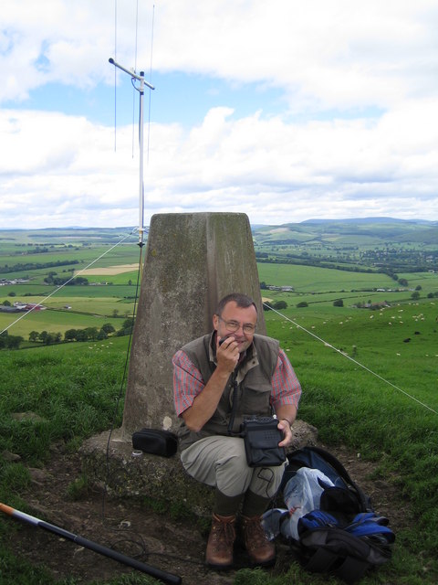
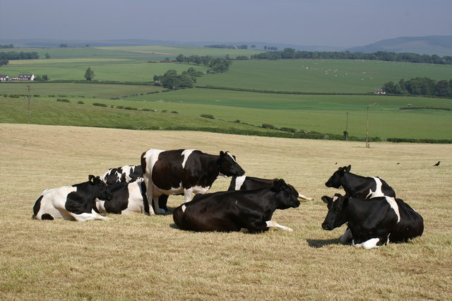
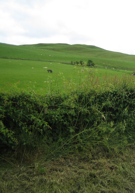
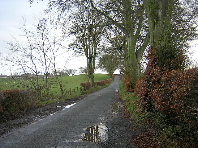
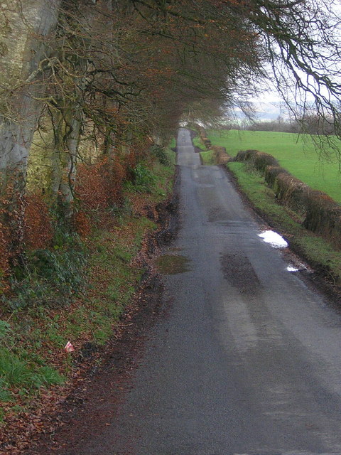
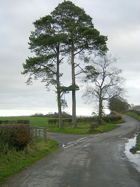
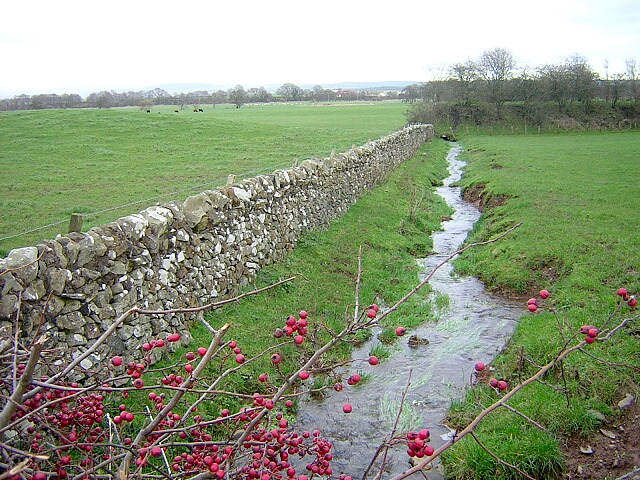
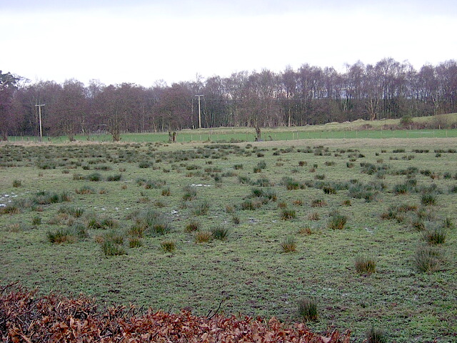
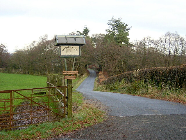
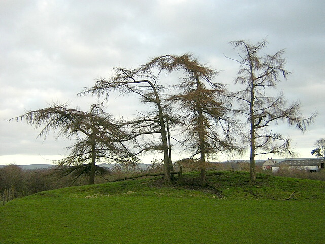
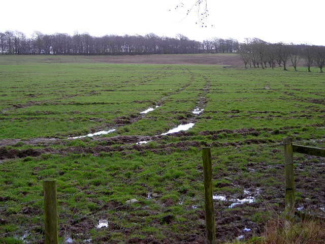
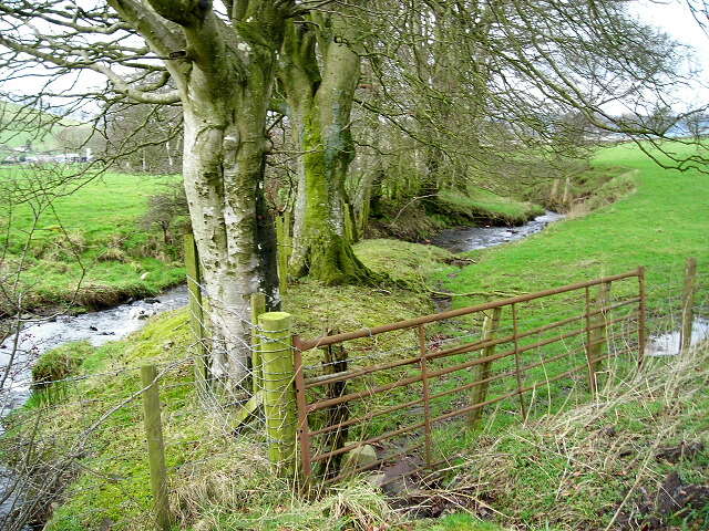
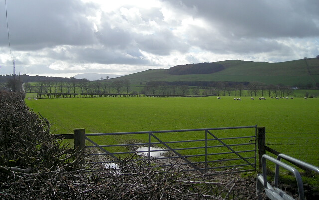
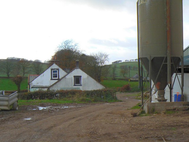
Hightown Hill Images
Images are sourced within 2km of 55.13681/-3.5139779 or Grid Reference NY0383. Thanks to Geograph Open Source API. All images are credited.


Hightown Hill is located at Grid Ref: NY0383 (Lat: 55.13681, Lng: -3.5139779)
Unitary Authority: Dumfries and Galloway
Police Authority: Dumfries and Galloway
What 3 Words
///cuff.awesome.defaults. Near Lochmaben, Dumfries & Galloway
Nearby Locations
Related Wikis

Shieldhill railway station
Shieldhill railway station was a station which served Shieldhill, in the Scottish county of Dumfries and Galloway. It was served by trains on a local line...

Dumfriesshire
Dumfriesshire or the County of Dumfries or Shire of Dumfries (Scottish Gaelic: Siorrachd Dhùn Phris) is a historic county and registration county in southern...

Amisfield
Amisfield is a village in Dumfries and Galloway, Scotland. It is located about 5 miles north of Dumfries and next to the A701 Dumfries to Edinburgh road...
Tinwald, Dumfries and Galloway
Tinwald is a village in Dumfries and Galloway, south-west Scotland, lying a little north of Locharbriggs outside Dumfries. Tinwald is also the name of...
Nearby Amenities
Located within 500m of 55.13681,-3.5139779Have you been to Hightown Hill?
Leave your review of Hightown Hill below (or comments, questions and feedback).