Bessy Moss
Downs, Moorland in Dumfriesshire
Scotland
Bessy Moss
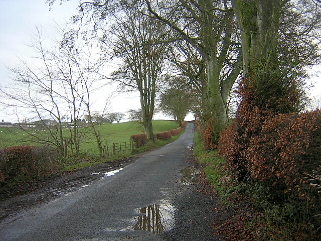
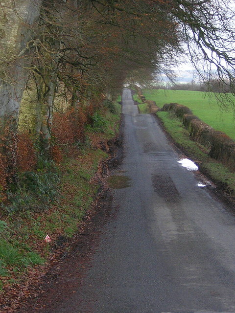
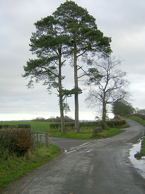
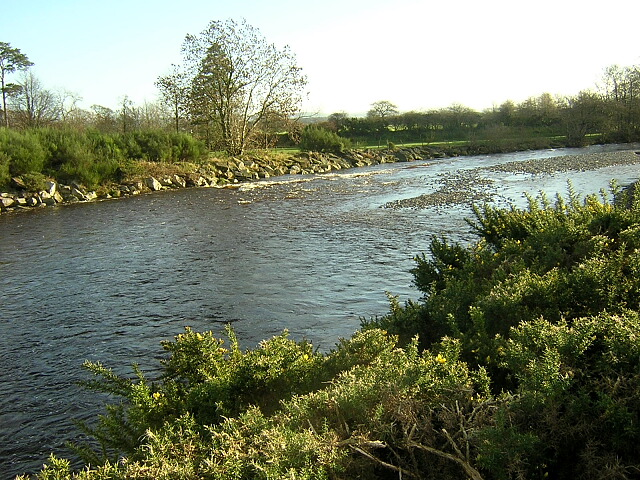
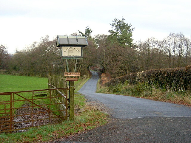
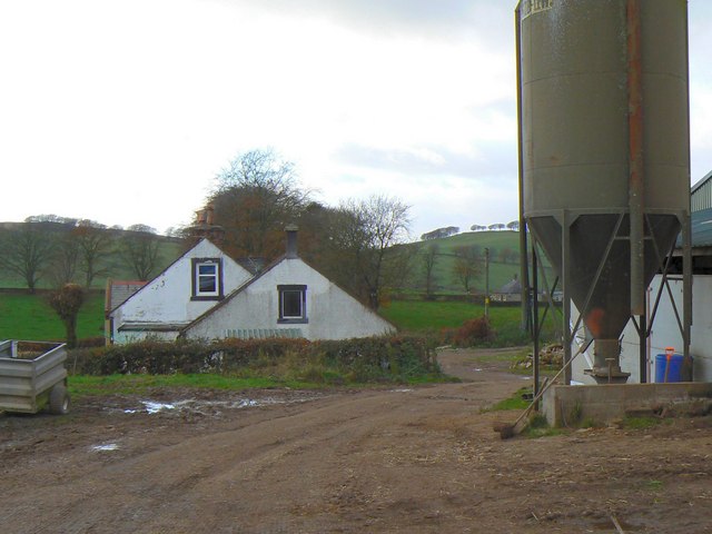
Bessy Moss is a small area located in Dumfriesshire, Scotland, known for its picturesque downs and moorland landscapes. Situated in the southern part of the country, Bessy Moss is surrounded by rolling hills and offers breathtaking views of the surrounding countryside.
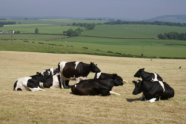
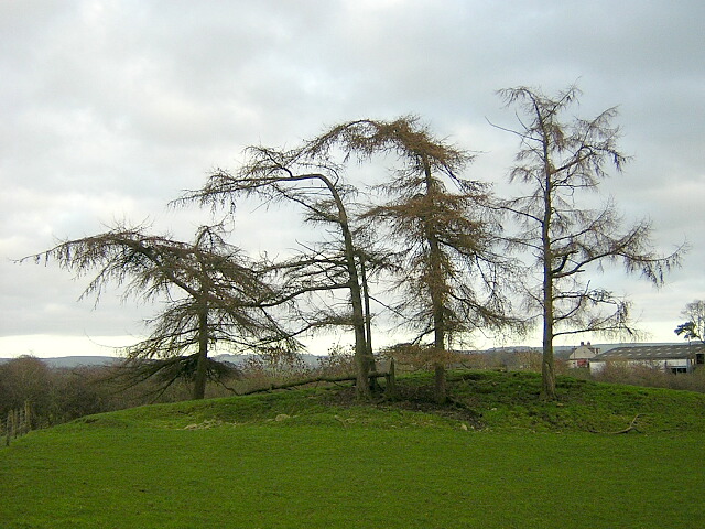
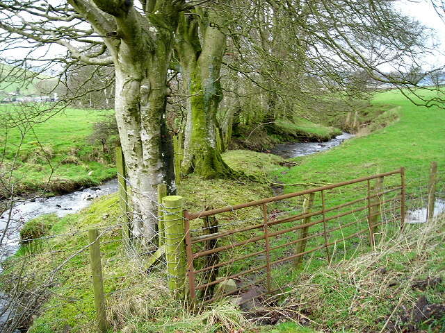
The area is characterized by its diverse flora and fauna, with heather-covered moorlands and grassy downs providing a habitat for various species of birds, butterflies, and small mammals. The rich biodiversity of Bessy Moss makes it an ideal location for nature enthusiasts and wildlife photographers.
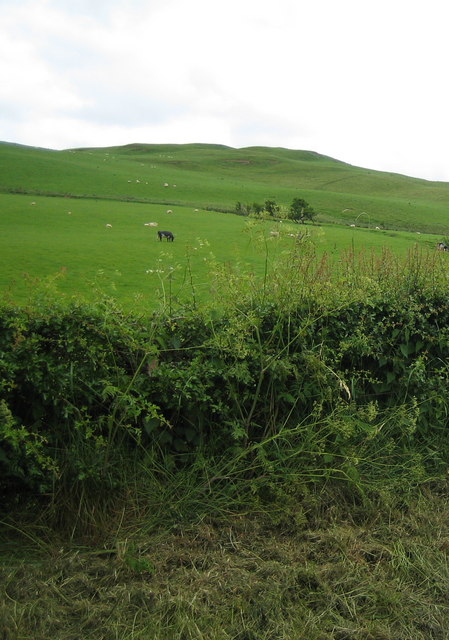
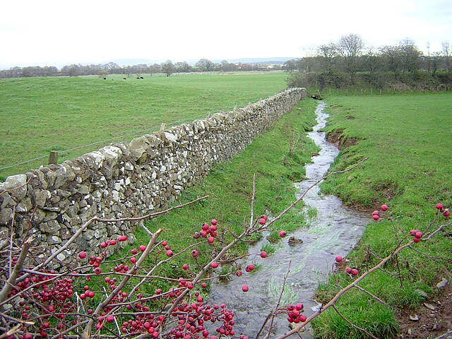
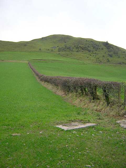
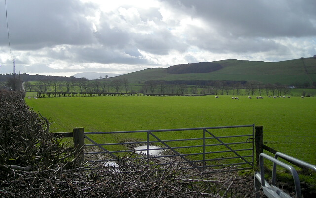
The downs of Bessy Moss are defined by their gently sloping hills and open grasslands, creating a tranquil and serene environment for visitors to enjoy. Walking trails and footpaths crisscross the area, allowing visitors to explore the downs and take in the breathtaking scenery.
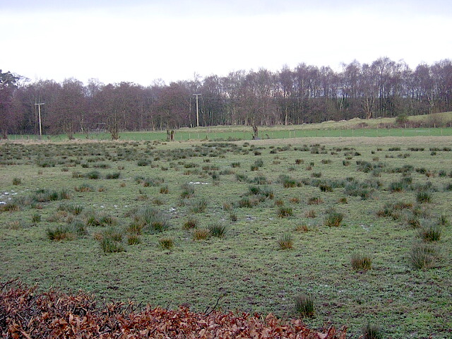
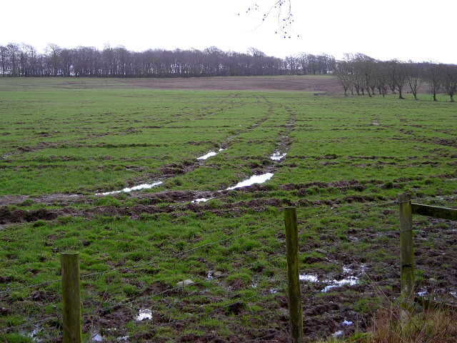
The moorland of Bessy Moss offers a different landscape, with vast expanses of heather and peat bogs. This unique habitat attracts a range of bird species, including curlews, lapwings, and red grouse, providing ample opportunities for birdwatching.
In addition to its natural beauty, Bessy Moss also has historical significance. The area is home to ancient archaeological sites, including stone circles and burial mounds, providing glimpses into the region's past.
Overall, Bessy Moss, Dumfriesshire, offers a combination of stunning downs, moorlands, and rich wildlife, making it a popular destination for nature enthusiasts and those seeking a peaceful retreat in the Scottish countryside.
If you have any feedback on the listing, please let us know in the comments section below.
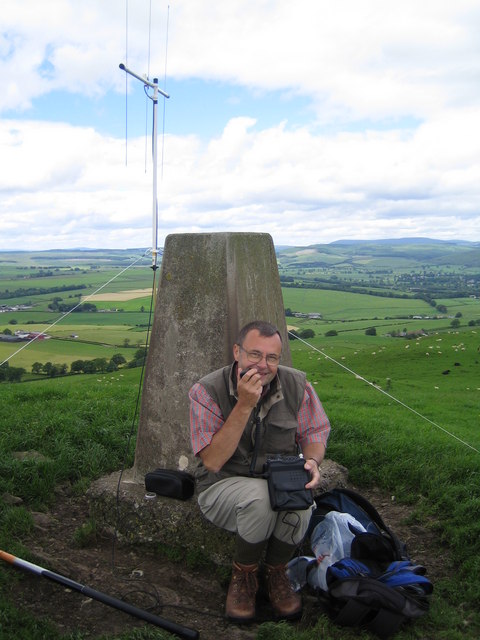
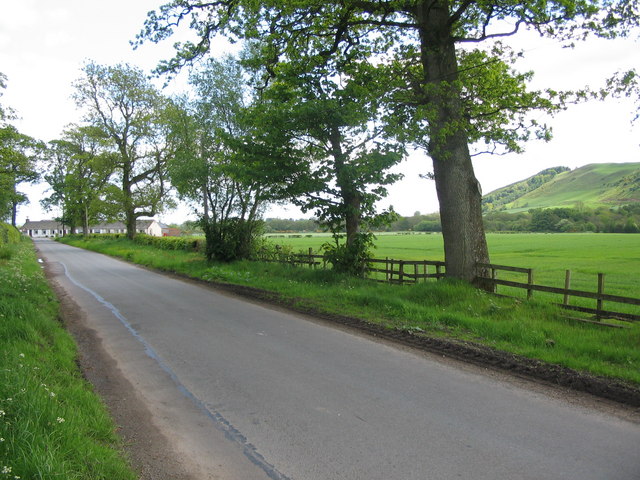
Bessy Moss Images
Images are sourced within 2km of 55.140647/-3.5096205 or Grid Reference NY0383. Thanks to Geograph Open Source API. All images are credited.
Bessy Moss is located at Grid Ref: NY0383 (Lat: 55.140647, Lng: -3.5096205)
Unitary Authority: Dumfries and Galloway
Police Authority: Dumfries and Galloway
What 3 Words
///list.lamplight.youth. Near Lochmaben, Dumfries & Galloway
Nearby Locations
Related Wikis

Shieldhill railway station
Shieldhill railway station was a station which served Shieldhill, in the Scottish county of Dumfries and Galloway. It was served by trains on a local line...

Dumfriesshire
Dumfriesshire or the County of Dumfries or Shire of Dumfries (Scottish Gaelic: Siorrachd Dhùn Phris) is a historic county and registration county in southern...

Lochmaben Hospital
Lochmaben Hospital is a health facility in Woodlands Drive, Lochmaben, Dumfries and Galloway, Scotland. It is managed by NHS Dumfries and Galloway. �...

Amisfield
Amisfield is a village in Dumfries and Galloway, Scotland. It is located about 5 miles north of Dumfries and next to the A701 Dumfries to Edinburgh road...
Nearby Amenities
Located within 500m of 55.140647,-3.5096205Have you been to Bessy Moss?
Leave your review of Bessy Moss below (or comments, questions and feedback).