Black Hill
Hill, Mountain in Dumfriesshire
Scotland
Black Hill
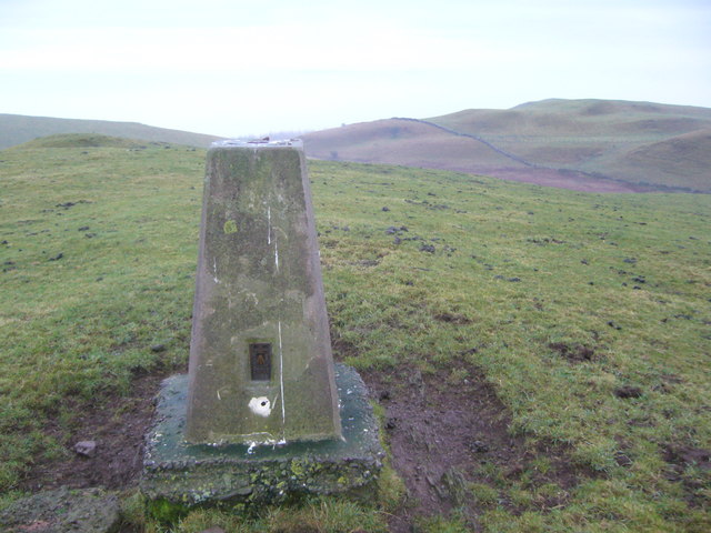
Black Hill is a prominent hill located in the region of Dumfriesshire, Scotland. It stands at an elevation of 528 meters (1,732 feet) above sea level, making it an appealing destination for hikers and outdoor enthusiasts.
Situated within the scenic Southern Uplands, Black Hill offers breathtaking panoramic views of the surrounding countryside, including the Moffat Hills and the Nith Valley. Its distinctive dark appearance, which gives the hill its name, is due to the abundance of heather covering its slopes.
The hill is accessible via various routes, with the most popular being the path that starts in the nearby village of Wanlockhead. This path leads visitors through a mixture of grassy terrain and heather moorland, providing an opportunity to observe local flora and fauna along the way. As visitors ascend, the views become increasingly captivating, rewarding their efforts with stunning vistas from the summit.
Black Hill also holds historical significance, as it was once the site of lead mining activities during the 18th and 19th centuries. Remnants of these mining operations, such as spoil heaps and ruined buildings, can still be seen scattered across the hillside, serving as a reminder of the area's industrial past.
Whether it is for the challenge of reaching its summit, enjoying the natural beauty of the surroundings, or exploring its historical heritage, Black Hill offers a captivating experience for all those who venture to Dumfriesshire.
If you have any feedback on the listing, please let us know in the comments section below.
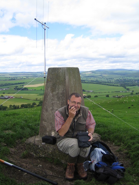
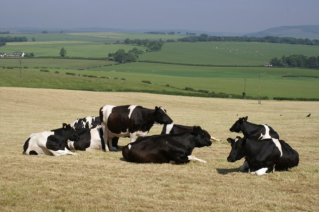
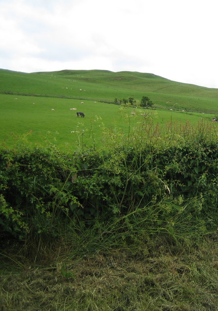
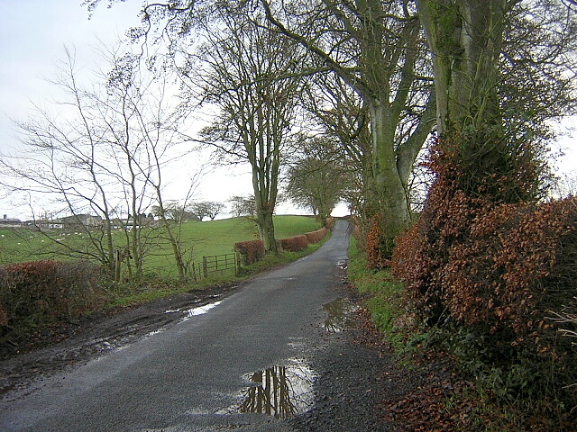
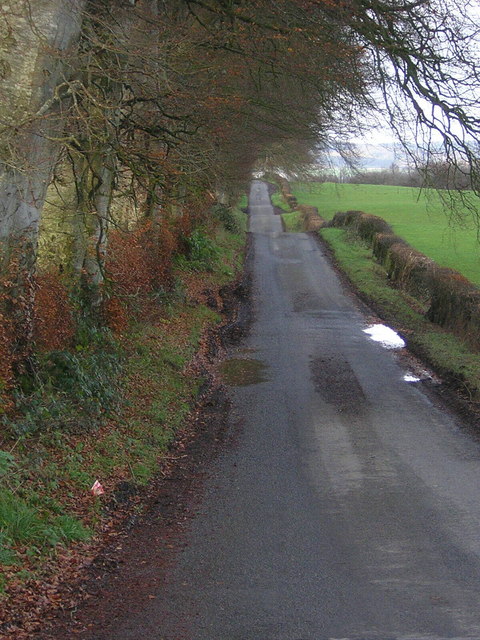
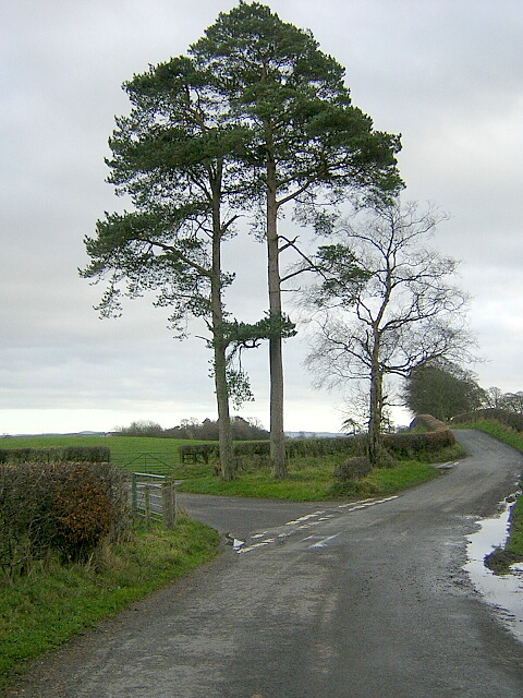
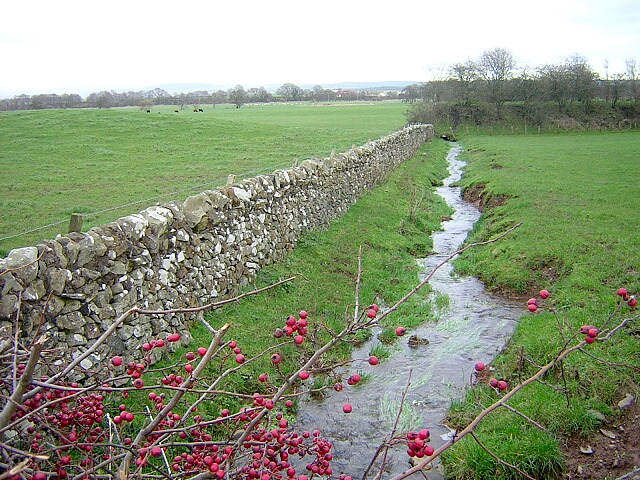
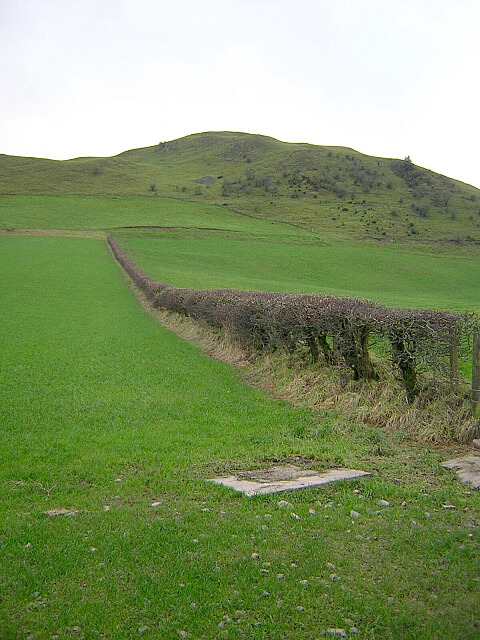
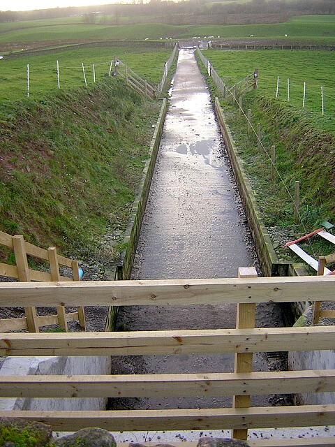
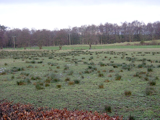
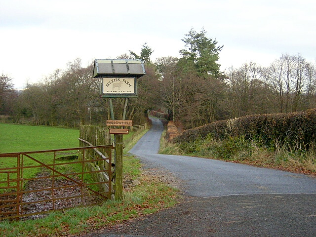
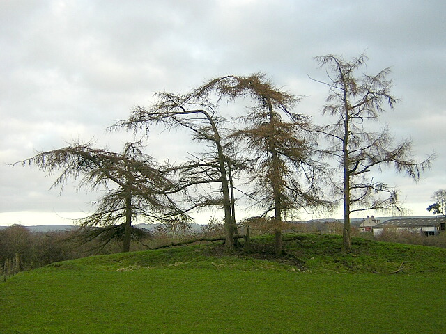
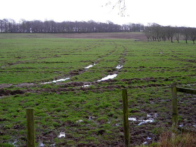
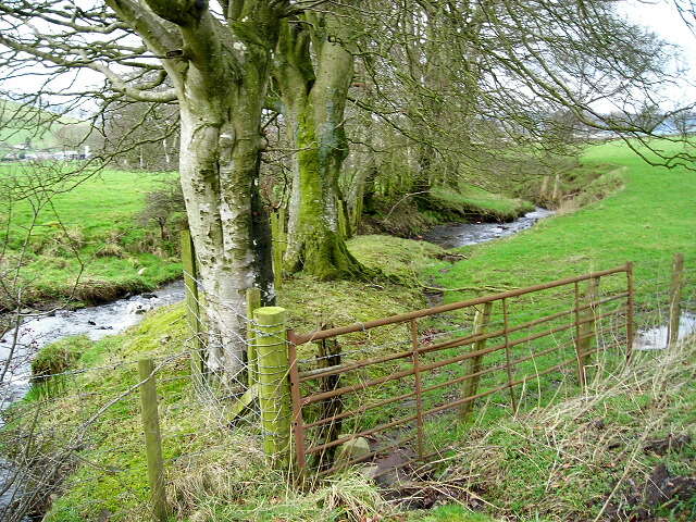
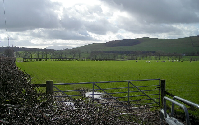
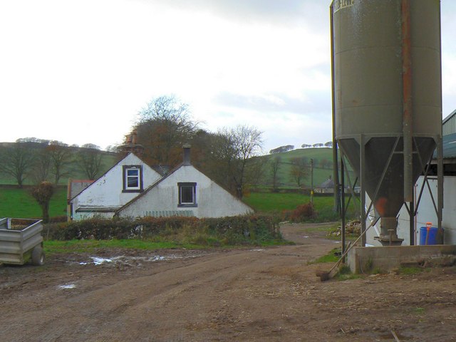
Black Hill Images
Images are sourced within 2km of 55.138182/-3.5105471 or Grid Reference NY0383. Thanks to Geograph Open Source API. All images are credited.

Black Hill is located at Grid Ref: NY0383 (Lat: 55.138182, Lng: -3.5105471)
Unitary Authority: Dumfries and Galloway
Police Authority: Dumfries and Galloway
What 3 Words
///roost.cakes.cobras. Near Lochmaben, Dumfries & Galloway
Nearby Locations
Related Wikis

Shieldhill railway station
Shieldhill railway station was a station which served Shieldhill, in the Scottish county of Dumfries and Galloway. It was served by trains on a local line...

Dumfriesshire
Dumfriesshire or the County of Dumfries or Shire of Dumfries (Scottish Gaelic: Siorrachd Dhùn Phris) is a historic county and registration county in southern...

Amisfield
Amisfield is a village in Dumfries and Galloway, Scotland. It is located about 5 miles north of Dumfries and next to the A701 Dumfries to Edinburgh road...

Lochmaben Hospital
Lochmaben Hospital is a health facility in Woodlands Drive, Lochmaben, Dumfries and Galloway, Scotland. It is managed by NHS Dumfries and Galloway. �...
Nearby Amenities
Located within 500m of 55.138182,-3.5105471Have you been to Black Hill?
Leave your review of Black Hill below (or comments, questions and feedback).