Rivox Moor

Hill, Mountain in Dumfriesshire

Scotland

Rivox Moor

Middle Gill Cluster of houses by the B7076 just north of Coatsgate. The M74, the river (Evan Water), the B7076  and the railway all run parallel at this point and quite close together.
Middle Gill Credit: Roger May

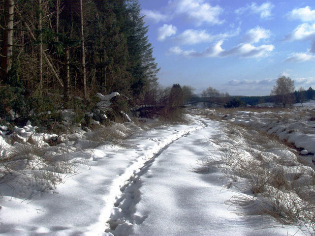
Rivox Moor, located in Dumfriesshire, Scotland, is a picturesque hill and moorland landscape that offers breathtaking views and a unique natural environment. Situated in the Southern Uplands, this area boasts a diverse range of flora and fauna, making it a haven for outdoor enthusiasts and nature lovers.

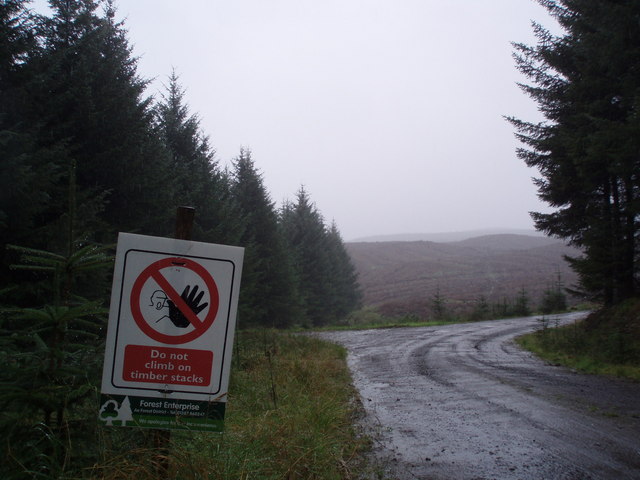
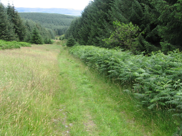
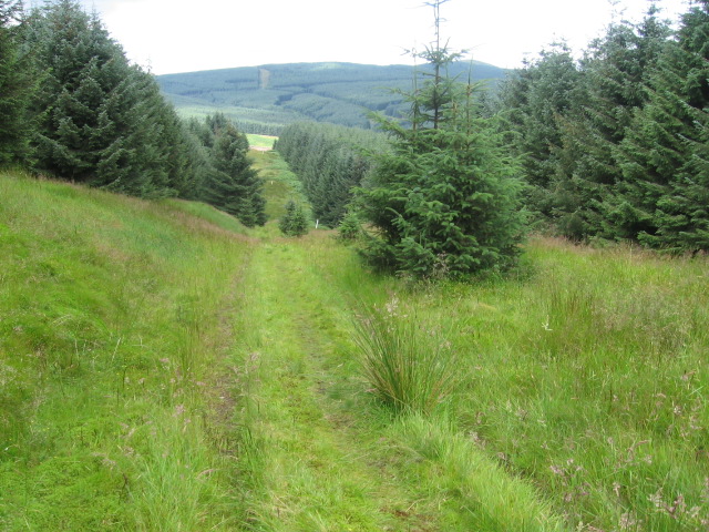
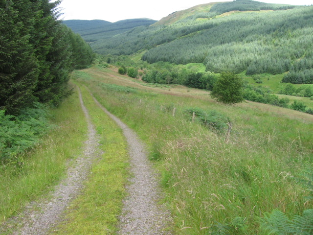
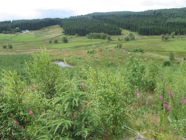
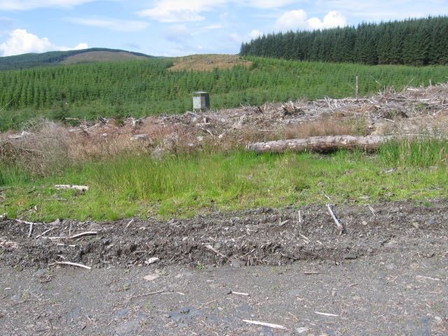
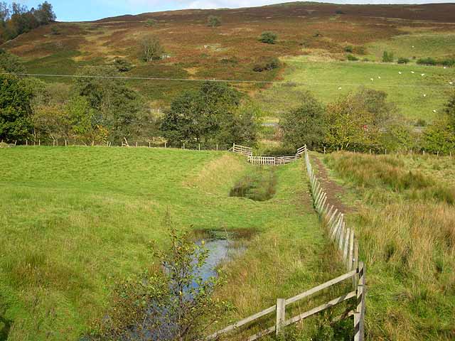
Covering an expansive area, Rivox Moor is characterized by its rolling hills, lush greenery, and heather-covered moorlands. The terrain is predominantly hilly, with the highest peak reaching an elevation of around 400 meters. The hill is not overly challenging to climb, making it accessible to both experienced hikers and beginners.

The moorland itself is home to a rich variety of plant species, including heather, cotton grass, and bog myrtle. These distinctive plants create a vibrant tapestry of colors, particularly during the summer months. Rivox Moor is also inhabited by a diverse range of wildlife, such as red deer, mountain hares, and various bird species. Birdwatchers flock to this area to catch a glimpse of species like curlews, golden plovers, and merlins.

Exploring Rivox Moor offers a unique opportunity to immerse oneself in the tranquility of nature. The area is crisscrossed with walking trails, providing visitors with the chance to discover hidden gems and appreciate the stunning vistas. The panoramic views from the summit of the hill are particularly awe-inspiring, with rolling hills and valleys stretching as far as the eye can see.

Overall, Rivox Moor is a natural treasure in Dumfriesshire, offering visitors a chance to connect with nature, marvel at its beauty, and experience the tranquility of the Scottish countryside.

If you have any feedback on the listing, please let us know in the comments section below.
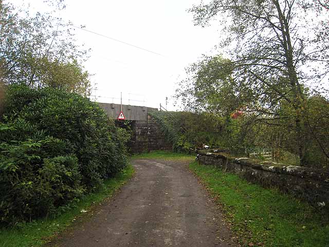
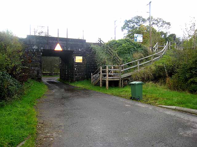
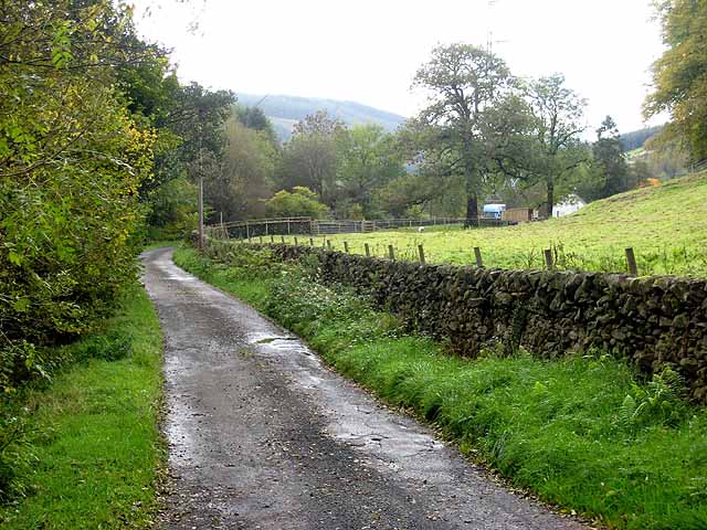
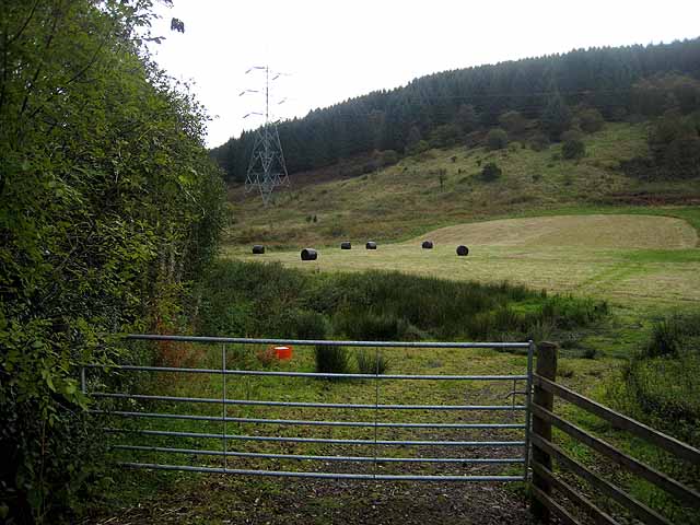
Rivox Moor Images

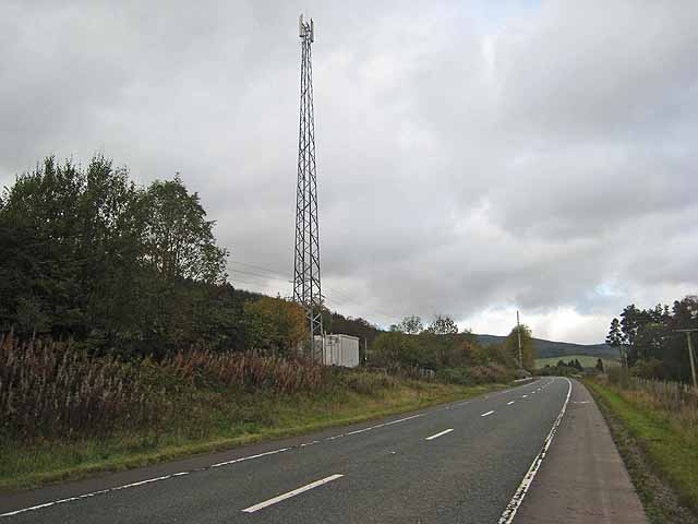
Images are sourced within 2km of 55.335255/-3.5179119 or Grid Reference NT0305. Thanks to Geograph Open Source API. All images are credited.

Middle Gill Cluster of houses by the B7076 just north of Coatsgate. The M74, the river (Evan Water), the B7076  and the railway all run parallel at this point and quite close together.
Middle Gill
Cluster of houses by the B7076 just north of Coatsgate. The M74, the river (Evan Water), the B7076 and the railway all run parallel at this point and quite close together.
Another view along the Southern Upland Way
No Climbing Most of the timber stacks had been removed from the area of clear fell to the north of here but the signs were still up.
No Climbing
Most of the timber stacks had been removed from the area of clear fell to the north of here but the signs were still up.
Wet Delivery Sainsbury's articulated lorry on the A74(M) on a very wet day. The spray from lorries was reaching me on a forest track.
Wet Delivery
Sainsbury's articulated lorry on the A74(M) on a very wet day. The spray from lorries was reaching me on a forest track.
Southern Upland Way at Craig Hill
Southern Upland Way at bridge over Garpol Water
Southern Upland Way near Rivox
Track to Mosshope
Track to Mosshope
Towards Holmshaw
Towards Holmshaw
Longbedholm Plantation
Longbedholm Hill
Longbedholm Hill
The road from Middlegill A little side road off the B7076. The bridge carries the West Coast Main Line railway.
The road from Middlegill
A little side road off the B7076. The bridge carries the West Coast Main Line railway.
Bridge over the road to Middlegill Middlegill is a hamlet which lies just off the B7076. The bridge carries the West Coast Main Line railway and the steps are for access by maintenance staff.
Bridge over the road to Middlegill
Middlegill is a hamlet which lies just off the B7076. The bridge carries the West Coast Main Line railway and the steps are for access by maintenance staff.
The lane to Middlegill Lane off the B7076 leading to the hamlet of Middlegill.
The lane to Middlegill
Lane off the B7076 leading to the hamlet of Middlegill.
Field and forest at Middlegill
Railway telecom mast by the B7076 The West Coast Main Line railway lies immediately to the left, but out of sight, of the road.

In recent years the A74 has been replaced by the M74. Between Hartshope <a href="https://www.geograph.org.uk/gridref/NT0312">NT0312</a> and Coatsgate <a href="https://www.geograph.org.uk/gridref/NT0605">NT0605</a>, the motorway follows the alignment of the old road. A new road (part of the B7076) has been constructed along the west side of the river for local access and to serve frontage owners. Cycle lanes have been established on both sides of this road and the whole length of the B7076 has been designated as National Cycle Network 
<span class="nowrap"><a title="http://www.sustrans.org.uk/default.asp?sID=1089735289781" rel="nofollow ugc noopener" href="http://www.sustrans.org.uk/default.asp?sID=1089735289781">Link</a><img style="margin-left:2px;" alt="External link" title="External link - shift click to open in new window" src="https://s1.geograph.org.uk/img/external.png" width="10" height="10"/></span> route 74. Although a bit monotonous, this is the one part of the National Cycle Network which provides a continuous length for high-speed cycling from Gretna on the Scottish Border up to north of Abington.
Railway telecom mast by the B7076
The West Coast Main Line railway lies immediately to the left, but out of sight, of the road. In recent years the A74 has been replaced by the M74. Between Hartshope NT0312 and Coatsgate NT0605, the motorway follows the alignment of the old road. A new road (part of the B7076) has been constructed along the west side of the river for local access and to serve frontage owners. Cycle lanes have been established on both sides of this road and the whole length of the B7076 has been designated as National Cycle Network LinkExternal link route 74. Although a bit monotonous, this is the one part of the National Cycle Network which provides a continuous length for high-speed cycling from Gretna on the Scottish Border up to north of Abington.
Ditch in valley of Evan Water A ditch draining the narrow stretch of flat land in the floor of the valley of the Evan Water. The line of trees marks the river itself, whilst beyond, it is just possible to make out the line of the M74.
Ditch in valley of Evan Water
A ditch draining the narrow stretch of flat land in the floor of the valley of the Evan Water. The line of trees marks the river itself, whilst beyond, it is just possible to make out the line of the M74.
Show me another place!

Rivox Moor is located at Grid Ref: NT0305 (Lat: 55.335255, Lng: -3.5179119)

Unitary Authority: Dumfries and Galloway

Police Authority: Dumfries and Galloway

What 3 Words

///promising.pavement.ambushes. Near Moffat, Dumfries & Galloway

Nearby Locations

Rivox Moor Rivox Moor

Related Wikis

Auchencastle railway station

Auchencastle railway station was a private station which served Auchencastle, near Beattock, in the Scottish county of Dumfries and Galloway. It was used...

Greenhillstairs

Greenhillstairs is the steep B719 road north of Moffat in Dumfries and Galloway, Scotland. The road, about 3 miles long, leaves the A701 Moffat to Edinburgh...
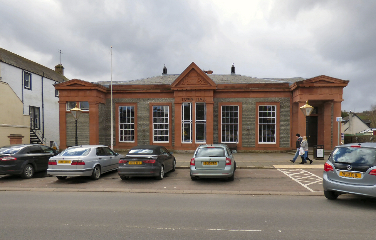
Moffat Town Hall

Moffat Town Hall is a municipal building in the High Street in Moffat, Dumfries and Galloway, Scotland. The structure, which is used as community events...

Moffat Museum

Moffat Museum is a community museum in Moffat, Scotland. It was established in the Old Moffat Bakehouse in 1984. The museum expanded into a neighbouring...

Nearby Amenities

Located within 500m of 55.335255,-3.5179119
Rivox Moor
Ele: 315
Natural: peak
Lat/Long: 55.3343411/-3.5141204
The data included in this document is from www.openstreetmap.org. The data is made available under ODbL.

Have you been to Rivox Moor?

Leave your review of Rivox Moor below (or comments, questions and feedback).