Ashbury Hill Down
Downs, Moorland in Devon Teignbridge
England
Ashbury Hill Down
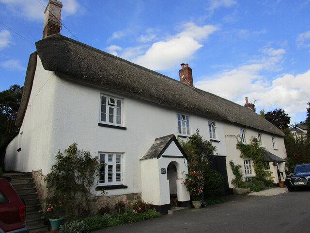
Ashbury Hill Down is a stunning area located in Devon, England, known for its exquisite natural beauty and diverse landscapes. Situated amidst the picturesque Downs and Moorland, it offers a perfect blend of rolling hills, open meadows, and vast moors, making it a paradise for nature lovers and outdoor enthusiasts.
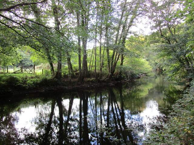
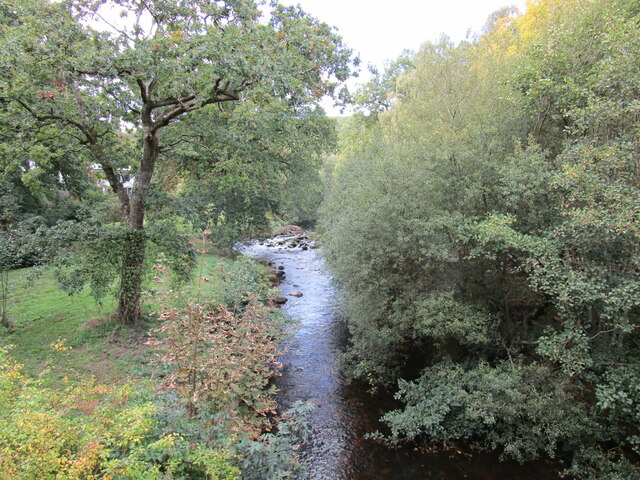
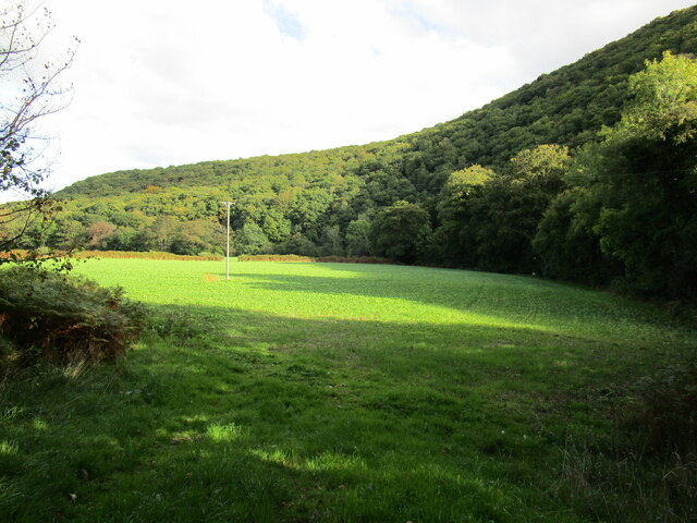
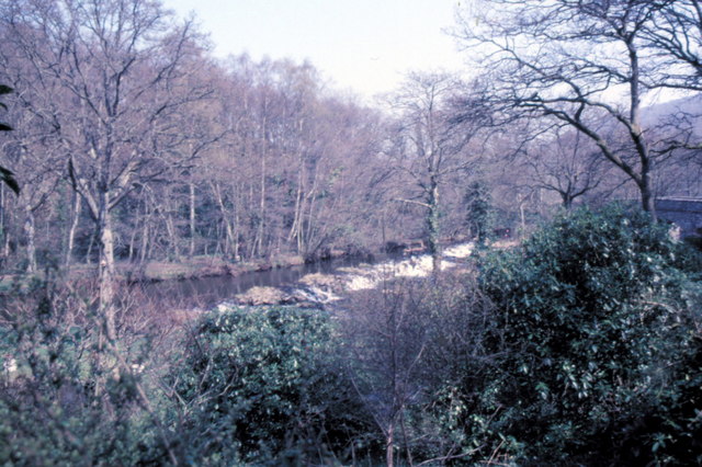
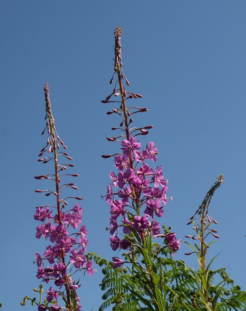
The Downs of Ashbury Hill Down are characterized by their gentle slopes and lush greenery, making them ideal for leisurely walks and hikes. The vibrant wildflowers that dot the landscape add to its charm, creating a colorful spectacle during the spring and summer months. The Downs also provide breathtaking panoramic views of the surrounding countryside, offering visitors a sense of tranquility and serenity.
In contrast, the Moorland of Ashbury Hill Down boasts a more rugged and untamed beauty. With its vast expanses of heather-covered hills and rocky outcrops, it provides a unique habitat for various wildlife species, including birds of prey, foxes, and deer. The moorland is a haven for birdwatchers, who can spot rare species such as the Merlin and Golden Plover.
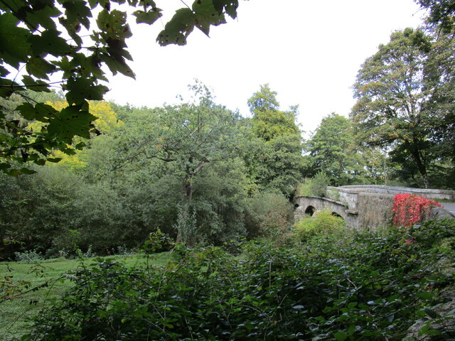
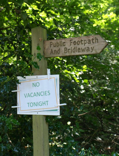
Ashbury Hill Down is also home to several walking trails and bridleways, allowing visitors to explore the area at their own pace. The well-maintained paths offer opportunities for hiking, horseback riding, and cycling, catering to outdoor enthusiasts of all ages and abilities.
Overall, Ashbury Hill Down is a must-visit destination for those seeking a peaceful retreat in the heart of nature. Its diverse landscapes, captivating views, and abundant wildlife make it a truly remarkable place to experience the beauty of Devon's countryside.
If you have any feedback on the listing, please let us know in the comments section below.
Ashbury Hill Down Images
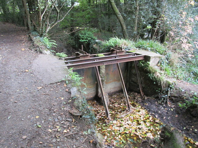
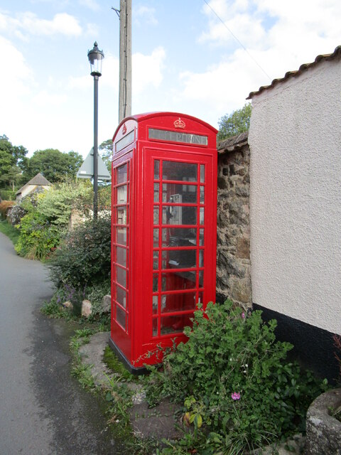
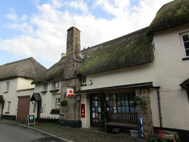
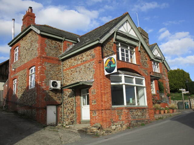
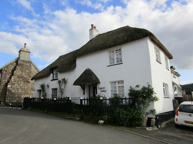
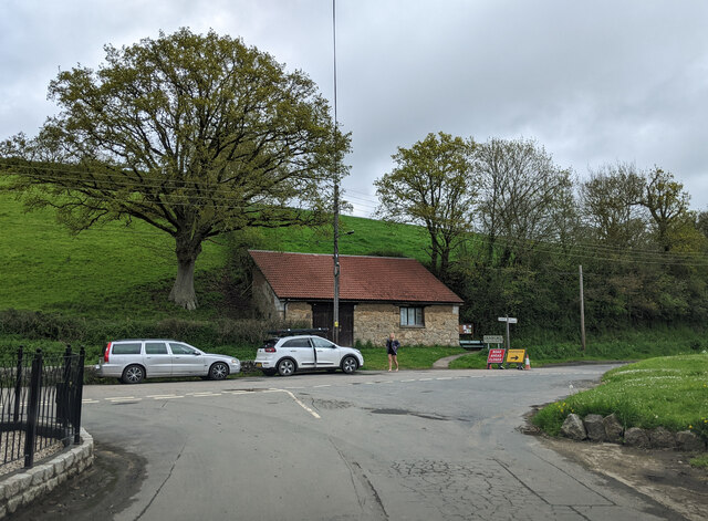
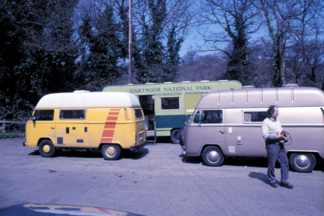
Images are sourced within 2km of 50.675297/-3.6728009 or Grid Reference SX8187. Thanks to Geograph Open Source API. All images are credited.
Ashbury Hill Down is located at Grid Ref: SX8187 (Lat: 50.675297, Lng: -3.6728009)
Administrative County: Devon
District: Teignbridge
Police Authority: Devon and Cornwall
What 3 Words
///lecturers.huddle.bunch. Near Moretonhampstead, Devon
Related Wikis

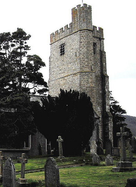
Bridford
Bridford is a village and civil parish in south west England, located in the Teign Valley, Devon on the edge of Dartmoor. The parish is surrounded (clockwise...

Dunsford
Dunsford is a village in Devon, England, just inside the Dartmoor National Park. The place-name 'Dunsford' is first attested in the Domesday Book of 1086...
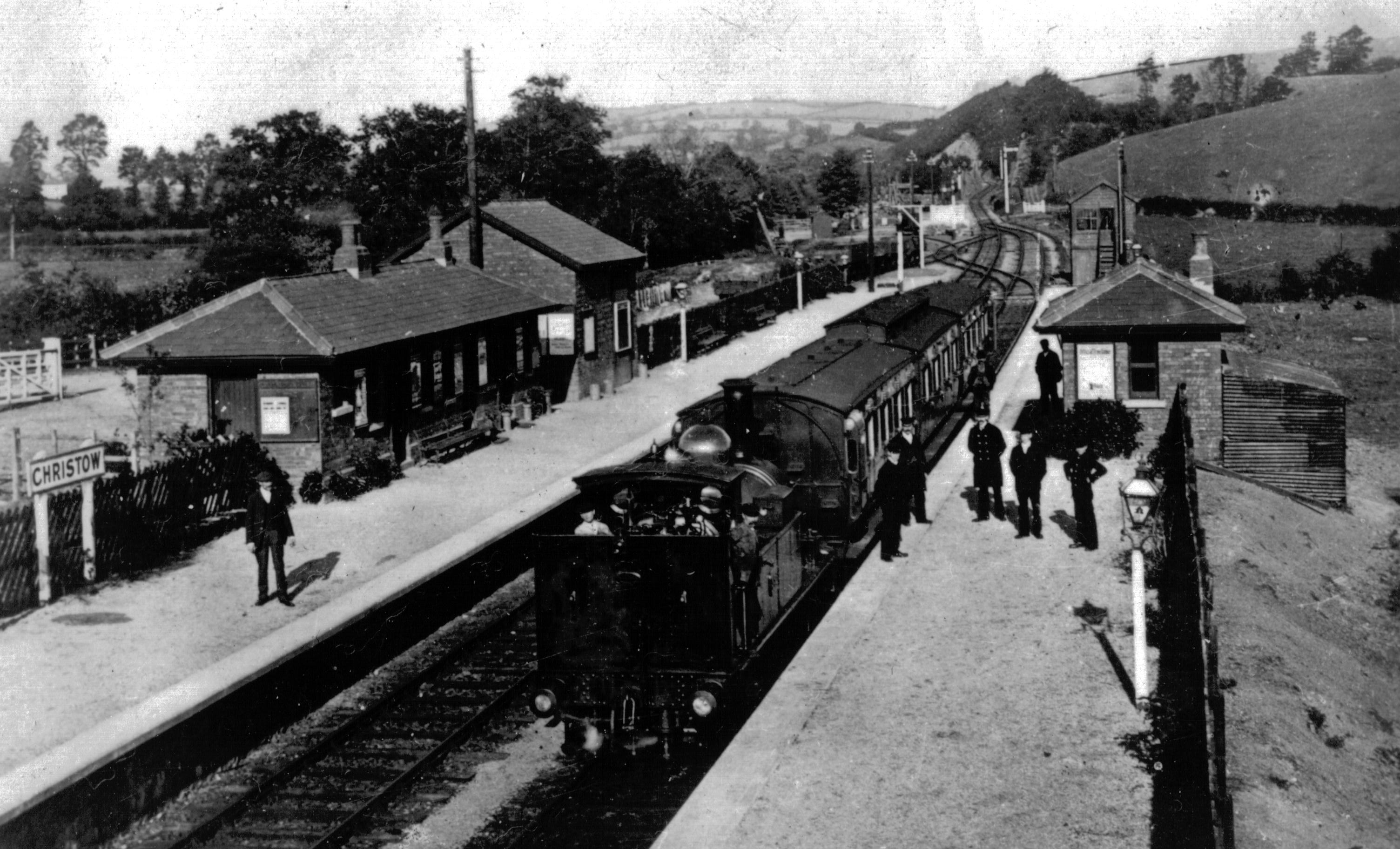
Christow railway station
Christow Railway Station's previously known as Teign House was a railway station serving the villages of Christow, Bridford and Doddiscombsleigh in Devon...

Dunsford Halt railway station
Dunsford Halt was a railway station serving Dunsford, a small village in Devon, England, on the Teign Valley Line between the towns of Newton Abbot and...
Nearby Amenities
Located within 500m of 50.675297,-3.6728009Have you been to Ashbury Hill Down?
Leave your review of Ashbury Hill Down below (or comments, questions and feedback).