Park Moor
Downs, Moorland in Devon Teignbridge
England
Park Moor

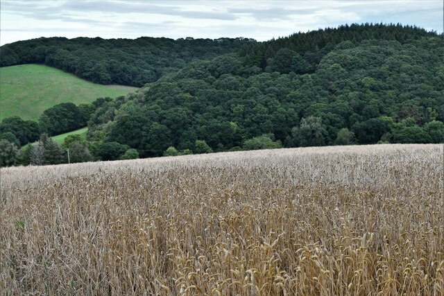
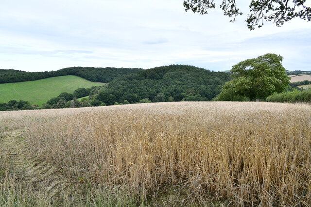
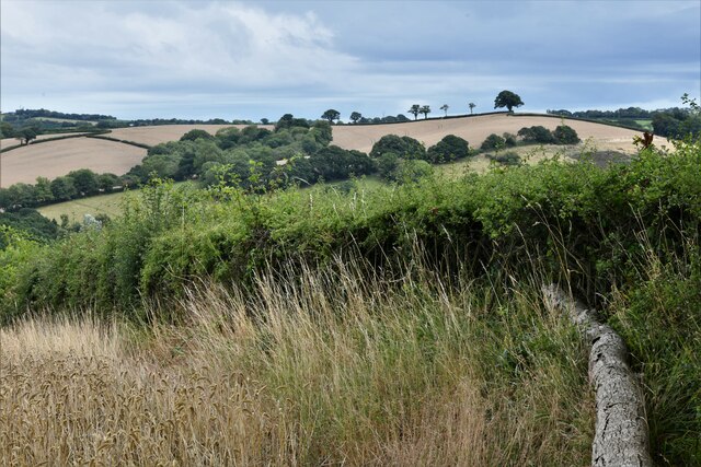
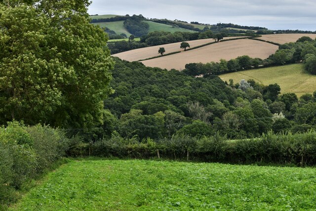
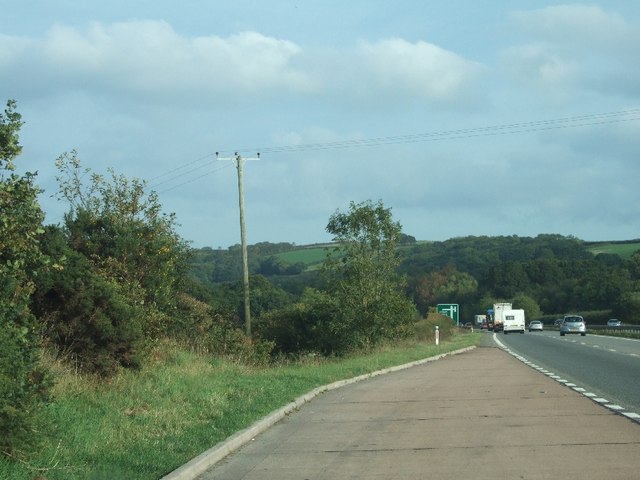
Park Moor is a captivating area located in Devon, England. Known for its picturesque landscapes, it is an amalgamation of downs and moorland that stretches across a vast expanse. The moor is situated in the southern part of the county, bordering Dartmoor National Park to the west.
Covered in a variety of vegetation, Park Moor showcases a diverse range of flora and fauna. The undulating hills and valleys are home to an array of wildflowers, including heather, gorse, and foxgloves, which create a vibrant tapestry of colors during the summer months. The moorland is also dotted with small ponds and streams, providing a tranquil habitat for various aquatic species.
The moor is a haven for wildlife enthusiasts, as it is home to a wide range of animals. Visitors may spot native species such as red deer, foxes, badgers, and rabbits roaming freely. The skies above Park Moor are often adorned with the graceful flight of buzzards, kestrels, and other birds of prey. With its untouched and remote location, the moor offers a serene environment for birdwatching and wildlife observation.
Park Moor is a popular destination for outdoor activities, attracting hikers, cyclists, and nature lovers alike. Its extensive network of footpaths and trails allows visitors to explore the area at their own pace, providing opportunities to discover hidden gems and breathtaking viewpoints. As a designated Area of Outstanding Natural Beauty, Park Moor offers a unique and immersive experience for those seeking to connect with nature in the heart of Devon.
If you have any feedback on the listing, please let us know in the comments section below.
Park Moor Images
Images are sourced within 2km of 50.742302/-3.6750605 or Grid Reference SX8194. Thanks to Geograph Open Source API. All images are credited.


Park Moor is located at Grid Ref: SX8194 (Lat: 50.742302, Lng: -3.6750605)
Administrative County: Devon
District: Teignbridge
Police Authority: Devon and Cornwall
What 3 Words
///defrost.purist.scam. Near Crediton, Devon
Nearby Locations
Related Wikis

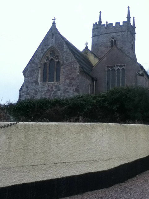
Tedburn St Mary
Tedburn St Mary is a village and civil parish in the Teignbridge district of Devon, England, approximately 8 miles west of Exeter. It has a population...

Posbury
Posbury is an ancient estate in Devon, now a hamlet, situated about 2 miles south-west of Crediton and 2 miles north of Tedburn St Mary and 1 mile west...

West Country English
West Country English is a group of English language varieties and accents used by much of the native population of South West England, the area sometimes...

Devon
Devon (/ˈdɛvən/ DEV-ən, historically also known as Devonshire /-ʃɪər, -ʃər/ -sheer, -shər) is a ceremonial county in South West England. It is bordered...

Holcombe Burnell
Holcombe Burnell is a civil parish in the Teignbridge district, in Devon, England, the church of which is about 4 miles west of Exeter City centre. There...
Cheriton Bishop
Cheriton Bishop is a village and civil parish situated on the northern borders of Dartmoor National park between Exeter and Okehampton, in Devon, England...

Great Fulford
Great Fulford is an historic estate in the parish of Dunsford, Devon. The grade I listed manor house, known as Great Fulford House, is about 9 miles west...
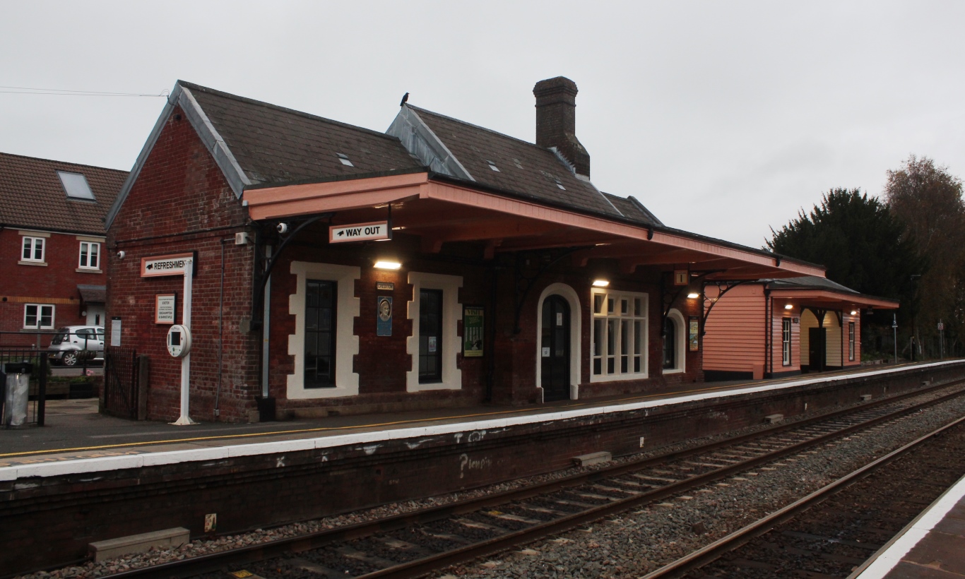
Crediton railway station
Crediton railway station is a railway station serving the town of Crediton in Devon, England. It is 7 miles 76 chains (12.8 km) from Exeter Central at...
Nearby Amenities
Located within 500m of 50.742302,-3.6750605Have you been to Park Moor?
Leave your review of Park Moor below (or comments, questions and feedback).