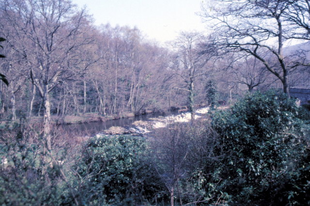
Woodlands Plantation
Wood, Forest in Devon Teignbridge
England
Woodlands Plantation
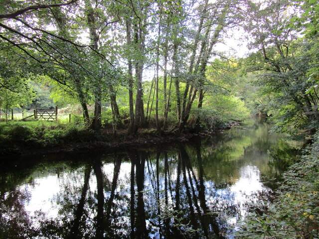
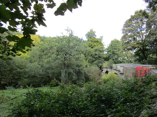
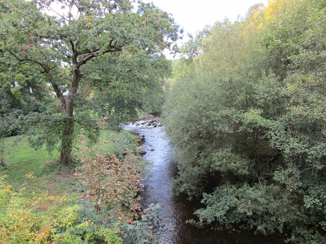
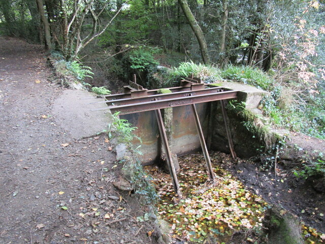
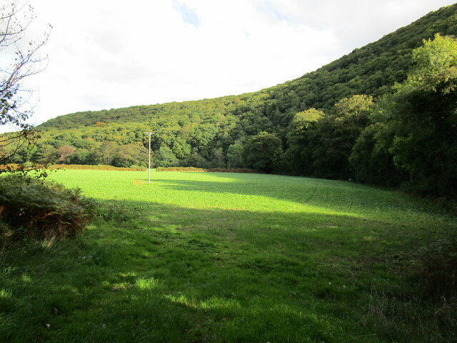
Woodlands Plantation is a picturesque estate located in Devon, England. Nestled amidst lush woodlands and sprawling forests, it is a haven for nature lovers and those seeking tranquility. The plantation spans over a vast area, encompassing acres of dense woodlands and vibrant flora, making it a truly enchanting destination.
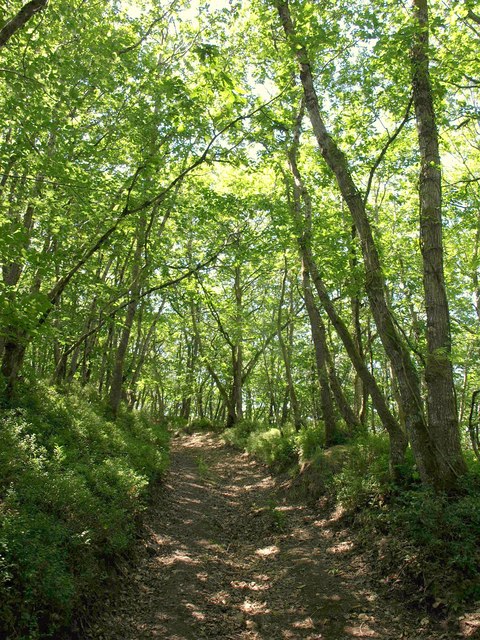
The woodlands of Woodlands Plantation are home to a diverse range of trees, including oak, beech, and birch, which create a striking tapestry of colors throughout the year. The forest floor is adorned with an array of wildflowers and ferns, adding to the natural beauty of the landscape.
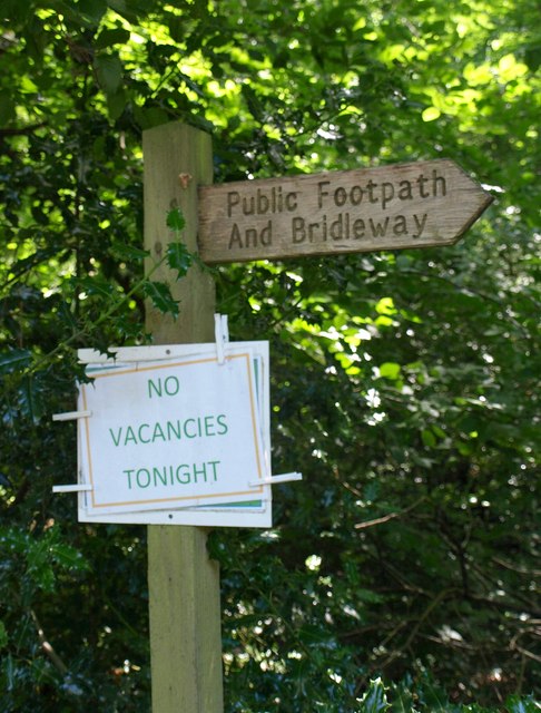
Visitors to Woodlands Plantation can explore the numerous walking trails that wind through the woods, allowing for peaceful strolls and opportunities to spot wildlife. The plantation is teeming with a variety of animal species, including deer, foxes, and a wide array of birdlife, making it a haven for wildlife enthusiasts.
For those yearning for a more immersive experience, Woodlands Plantation offers camping facilities amidst the woods, providing a unique opportunity to spend the night under the canopy of trees. The plantation also hosts guided nature walks and educational programs, allowing visitors to learn more about the flora and fauna that call this woodland sanctuary their home.
Woodlands Plantation, with its breathtaking beauty and tranquil atmosphere, offers a delightful escape from the hustle and bustle of everyday life, making it a must-visit destination for nature enthusiasts and those seeking solace in the embrace of nature.
If you have any feedback on the listing, please let us know in the comments section below.
Woodlands Plantation Images
Images are sourced within 2km of 50.677466/-3.6814837 or Grid Reference SX8187. Thanks to Geograph Open Source API. All images are credited.
Woodlands Plantation is located at Grid Ref: SX8187 (Lat: 50.677466, Lng: -3.6814837)
Administrative County: Devon
District: Teignbridge
Police Authority: Devon and Cornwall
What 3 Words
///wordplay.tadpoles.reworked. Near Moretonhampstead, Devon
Related Wikis

Bridford
Bridford is a village and civil parish in south west England, located in the Teign Valley, Devon on the edge of Dartmoor. The parish is surrounded (clockwise...

Dunsford
Dunsford is a village in Devon, England, just inside the Dartmoor National Park. The place-name 'Dunsford' is first attested in the Domesday Book of 1086...
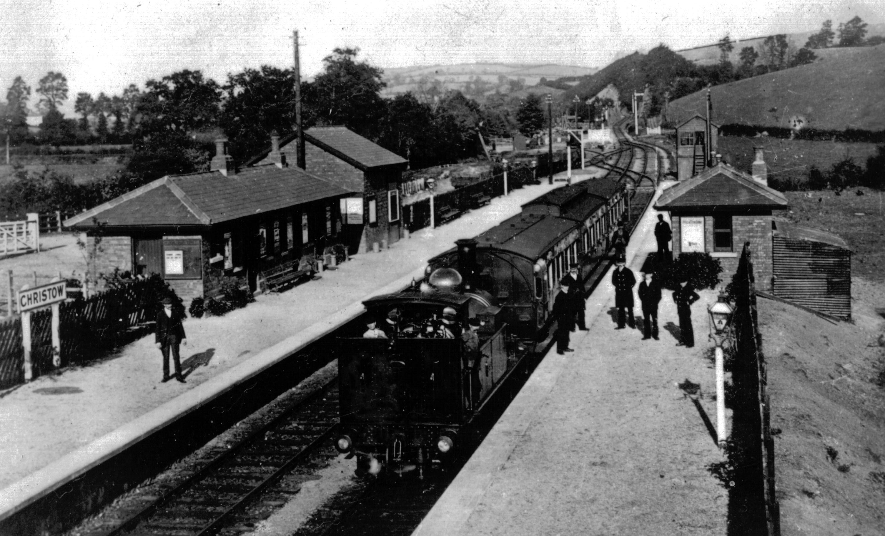
Christow railway station
Christow Railway Station's previously known as Teign House was a railway station serving the villages of Christow, Bridford and Doddiscombsleigh in Devon...

Dunsford Halt railway station
Dunsford Halt was a railway station serving Dunsford, a small village in Devon, England, on the Teign Valley Line between the towns of Newton Abbot and...

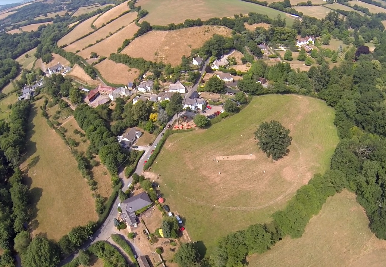
Christow
Christow is a village and civil parish in the Teignbridge district of Devon, England, about 12 miles (19 km) southwest of Exeter. The village is in the...

Great Fulford
Great Fulford is an historic estate in the parish of Dunsford, Devon. The grade I listed manor house, known as Great Fulford House, is about 9 miles west...
Lower Ashton
Lower Ashton is a village on the western slopes of Haldon in Teignbridge, Devon, England. Along with Higher Ashton it is part of the civil parish of Ashton...

Doddiscombsleigh
Doddiscombsleigh (anciently Doddescombe Leigh) is a small settlement in Devon, England. It is 5 miles (8 km) southwest of the city of Exeter and one mile...
Nearby Amenities
Located within 500m of 50.677466,-3.6814837Have you been to Woodlands Plantation?
Leave your review of Woodlands Plantation below (or comments, questions and feedback).