Copplestone Down
Wood, Forest in Devon Teignbridge
England
Copplestone Down
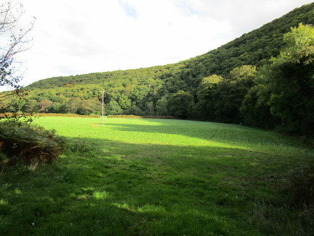
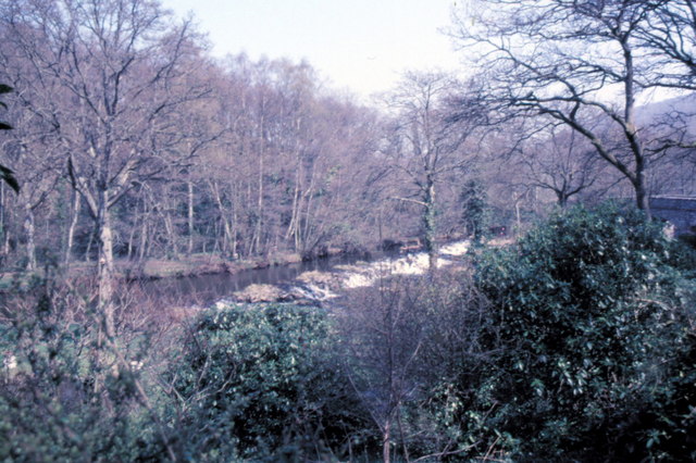
Copplestone Down is a picturesque wood located in Devon, England. Covering an area of approximately 100 acres, it is renowned for its lush forests and captivating natural beauty. The wood is situated near the charming village of Copplestone, which adds to its appeal as a popular destination for nature enthusiasts and hikers.
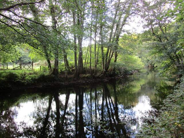
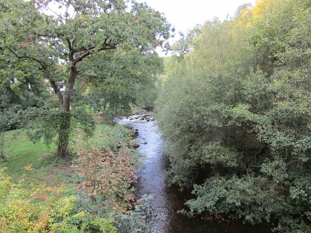
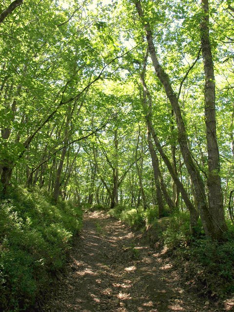
The woodland at Copplestone Down is predominantly composed of deciduous trees, such as oaks, beeches, and birches. The dense canopy provides a cool and shaded environment during the summer months, making it an ideal spot for picnics or leisurely walks. The forest floor is carpeted with a variety of wildflowers, ferns, and mosses, creating a vibrant and enchanting atmosphere.
The wood is home to an abundance of wildlife, including deer, badgers, and a wide array of bird species. It serves as an important habitat for these animals, providing them with a safe haven and ample food sources. Birdwatchers will delight in the opportunity to spot species such as woodpeckers, owls, and various songbirds.
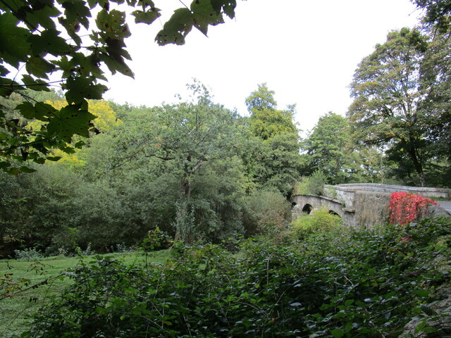
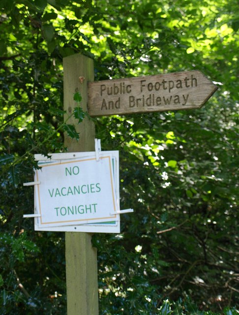
Copplestone Down offers a network of well-maintained trails and footpaths, allowing visitors to explore its beauty at their own pace. The paths wind through the wood, offering stunning views of the surrounding countryside and glimpses of the nearby river. There are also designated areas for camping and barbecues, providing opportunities for visitors to extend their stay and enjoy the peaceful ambiance of the wood.
Overall, Copplestone Down is a captivating woodland that showcases the natural splendor of Devon. Its diverse flora and fauna, combined with its tranquil atmosphere, make it a haven for nature lovers and a must-visit destination for those seeking a peaceful retreat in the heart of the English countryside.
If you have any feedback on the listing, please let us know in the comments section below.
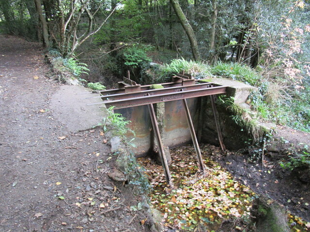
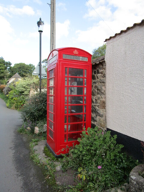
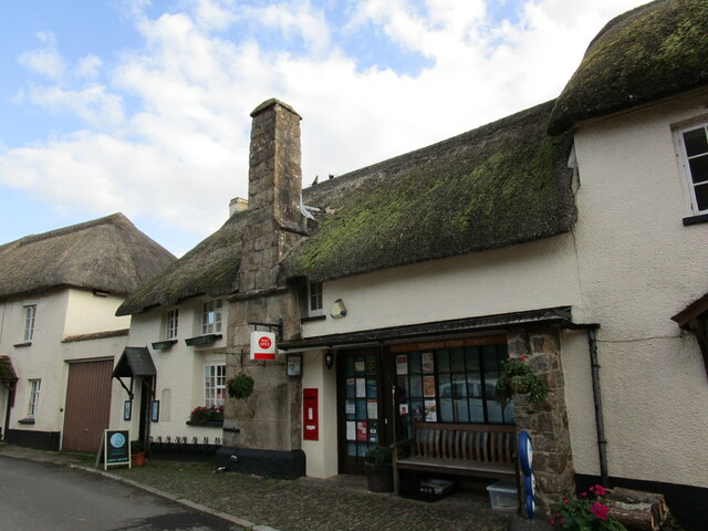
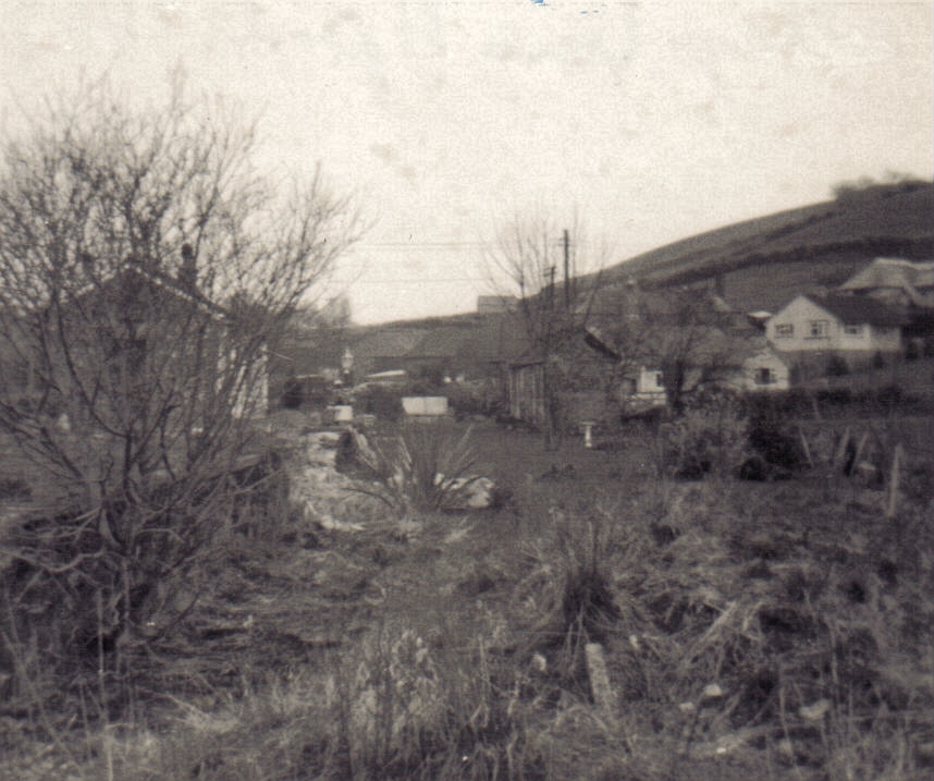
Copplestone Down Images
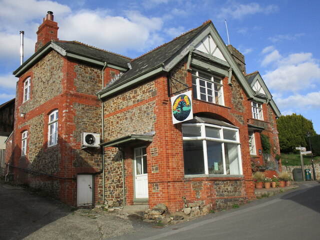
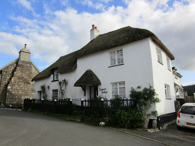
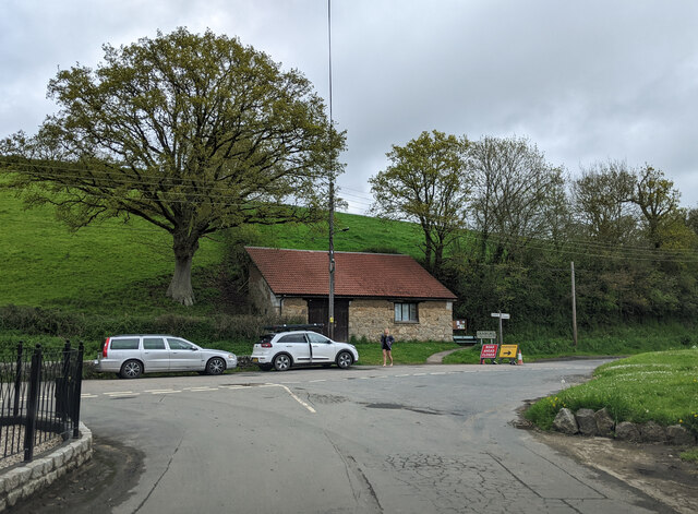
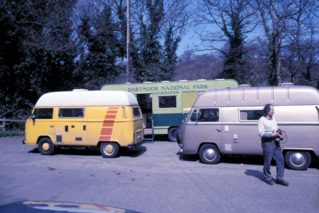
Images are sourced within 2km of 50.67579/-3.6779562 or Grid Reference SX8187. Thanks to Geograph Open Source API. All images are credited.
Copplestone Down is located at Grid Ref: SX8187 (Lat: 50.67579, Lng: -3.6779562)
Administrative County: Devon
District: Teignbridge
Police Authority: Devon and Cornwall
What 3 Words
///tastings.begins.meal. Near Moretonhampstead, Devon
Related Wikis

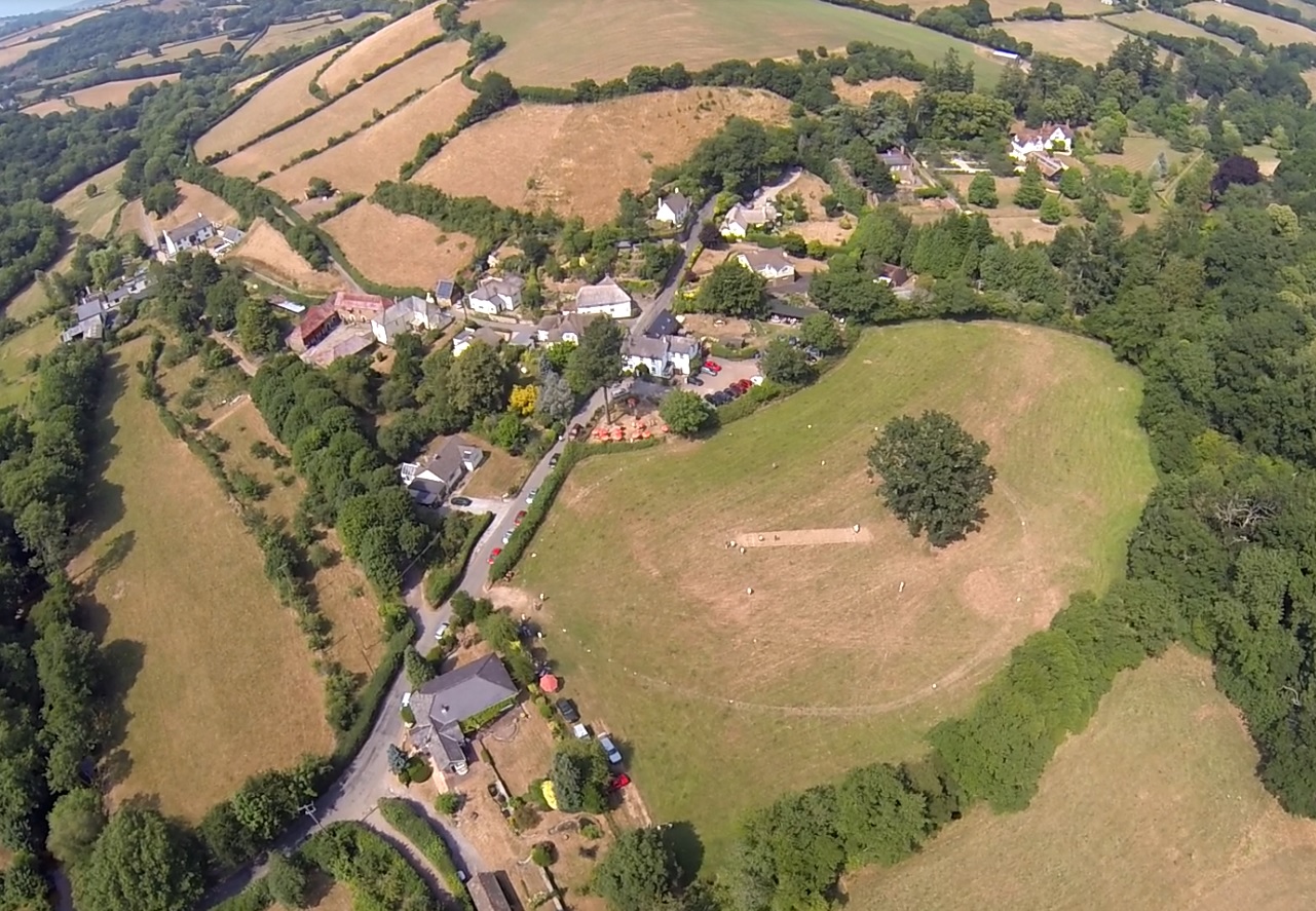
Bridford
Bridford is a village and civil parish in south west England, located in the Teign Valley, Devon on the edge of Dartmoor. The parish is surrounded (clockwise...

Dunsford
Dunsford is a village in Devon, England, just inside the Dartmoor National Park. The place-name 'Dunsford' is first attested in the Domesday Book of 1086...
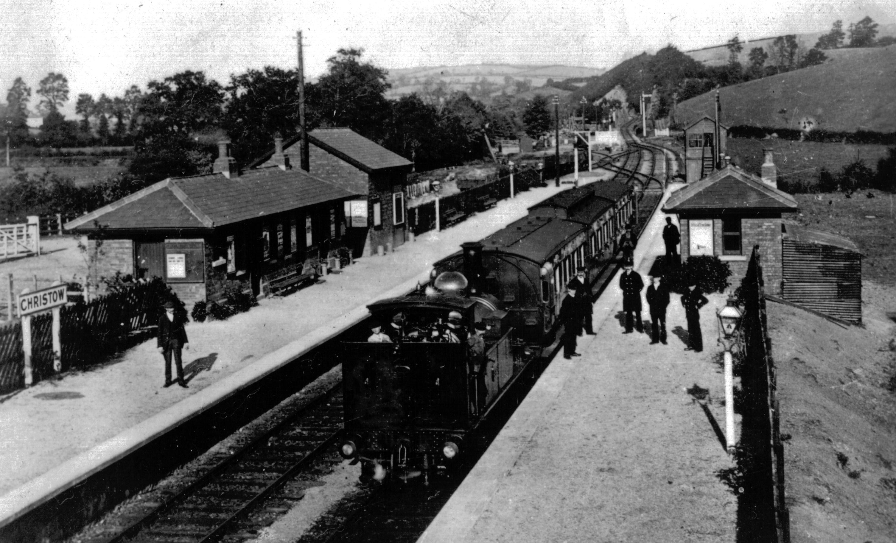
Christow railway station
Christow Railway Station's previously known as Teign House was a railway station serving the villages of Christow, Bridford and Doddiscombsleigh in Devon...

Dunsford Halt railway station
Dunsford Halt was a railway station serving Dunsford, a small village in Devon, England, on the Teign Valley Line between the towns of Newton Abbot and...

Christow
Christow is a village and civil parish in the Teignbridge district of Devon, England, about 12 miles (19 km) southwest of Exeter. The village is in the...
Lower Ashton
Lower Ashton is a village on the western slopes of Haldon in Teignbridge, Devon, England. Along with Higher Ashton it is part of the civil parish of Ashton...

Doddiscombsleigh
Doddiscombsleigh (anciently Doddescombe Leigh) is a small settlement in Devon, England. It is 5 miles (8 km) southwest of the city of Exeter and one mile...
Ashton railway station
Ashton railway station was a railway station serving the village of Ashton in Devon, England. It was located on the Teign Valley line. == History == The...
Nearby Amenities
Located within 500m of 50.67579,-3.6779562Have you been to Copplestone Down?
Leave your review of Copplestone Down below (or comments, questions and feedback).