Lower Lowton Down
Downs, Moorland in Devon Teignbridge
England
Lower Lowton Down
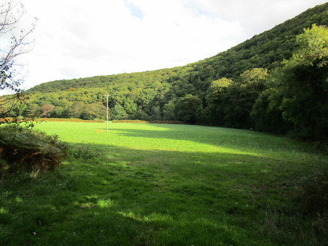
Lower Lowton Down is a picturesque area located in Devon, England. It is situated amidst the stunning Downs and Moorland, making it an ideal destination for nature enthusiasts and outdoor adventurers. With its diverse landscape, it offers a unique blend of rolling hills, open fields, and heather-covered moors.
The area is known for its breathtaking views, particularly from the higher vantage points, which allow visitors to marvel at the surrounding countryside. Lower Lowton Down is home to a plethora of wildlife, including rare bird species, deer, and foxes, making it a haven for nature lovers and birdwatchers.
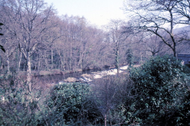
The landscape of Lower Lowton Down is characterized by its rugged beauty, with rocky outcrops and ancient stone walls scattered throughout the area. This creates a sense of history and adds to the charm of the place. The moorland itself is covered in vibrant purple heather during the summer months, creating a stunning contrast against the greenery of the surrounding hills.
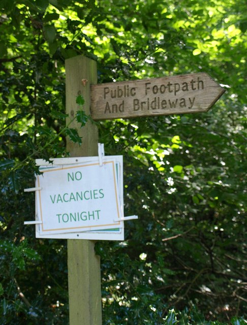
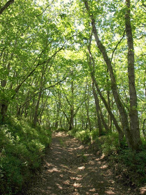
For those seeking outdoor activities, Lower Lowton Down offers an array of options. Hiking and walking trails crisscross the area, allowing visitors to explore the diverse terrain at their own pace. Additionally, the moorland is ideal for horseback riding and cycling, providing a unique and immersive experience in nature.
Overall, Lower Lowton Down in Devon is a hidden gem that showcases the natural beauty of the English countryside. With its stunning landscape, abundant wildlife, and various outdoor activities, it is a destination that will captivate and delight visitors of all ages and interests.
If you have any feedback on the listing, please let us know in the comments section below.
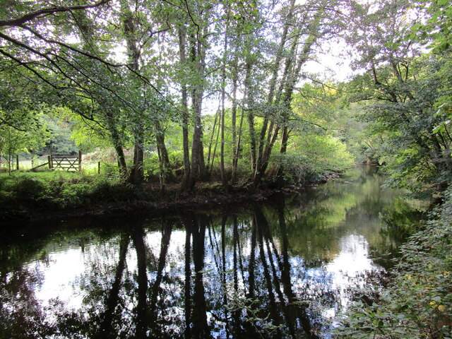
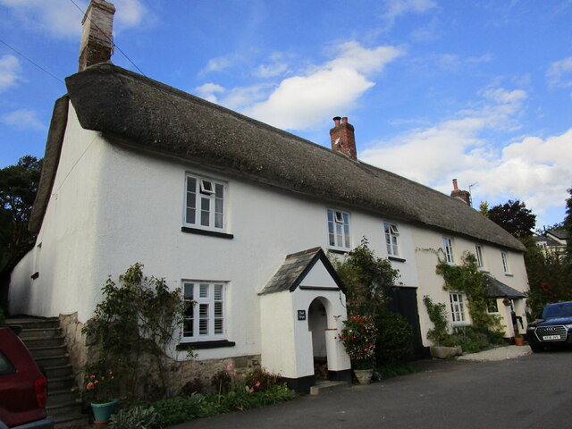
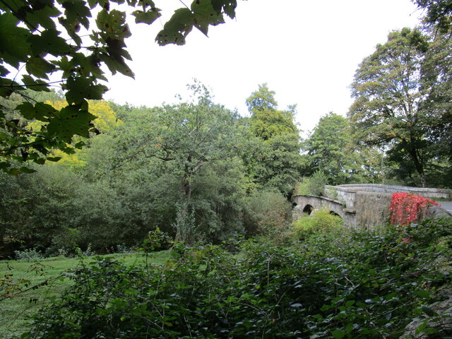
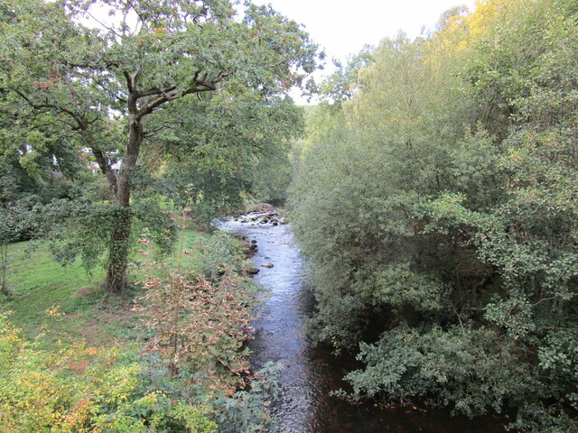
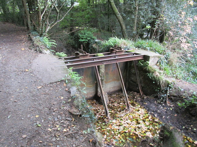
Lower Lowton Down Images
Images are sourced within 2km of 50.674484/-3.681179 or Grid Reference SX8187. Thanks to Geograph Open Source API. All images are credited.
Lower Lowton Down is located at Grid Ref: SX8187 (Lat: 50.674484, Lng: -3.681179)
Administrative County: Devon
District: Teignbridge
Police Authority: Devon and Cornwall
What 3 Words
///scorching.mammoths.develop. Near Moretonhampstead, Devon
Related Wikis

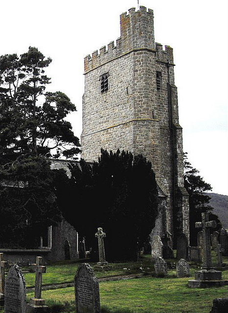
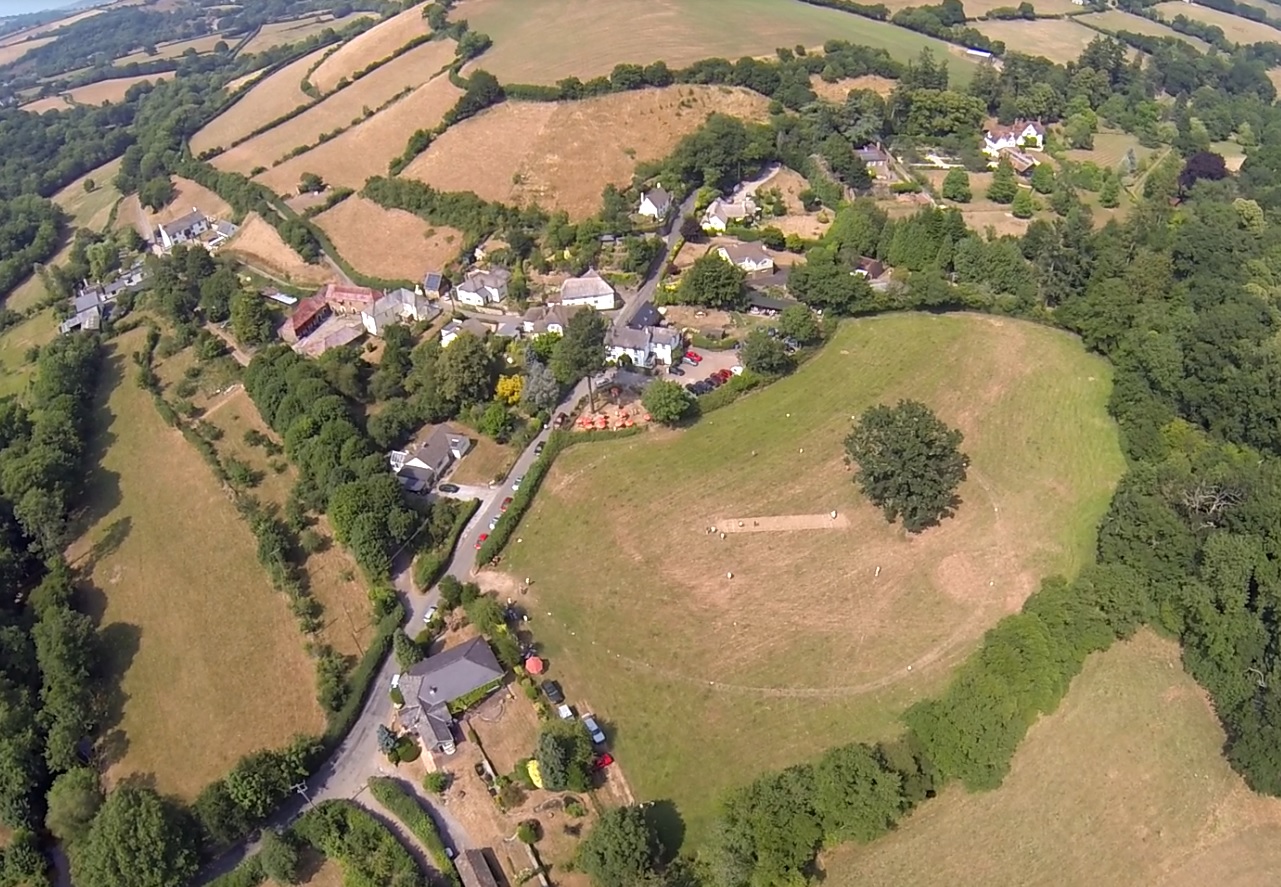
Bridford
Bridford is a village and civil parish in south west England, located in the Teign Valley, Devon on the edge of Dartmoor. The parish is surrounded (clockwise...

Dunsford
Dunsford is a village in Devon, England, just inside the Dartmoor National Park. The place-name 'Dunsford' is first attested in the Domesday Book of 1086...
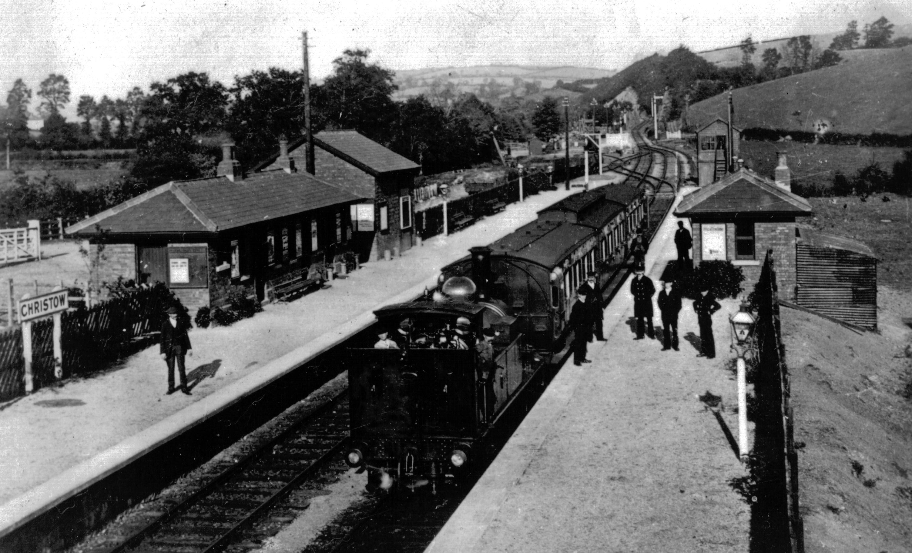
Christow railway station
Christow Railway Station's previously known as Teign House was a railway station serving the villages of Christow, Bridford and Doddiscombsleigh in Devon...

Dunsford Halt railway station
Dunsford Halt was a railway station serving Dunsford, a small village in Devon, England, on the Teign Valley Line between the towns of Newton Abbot and...

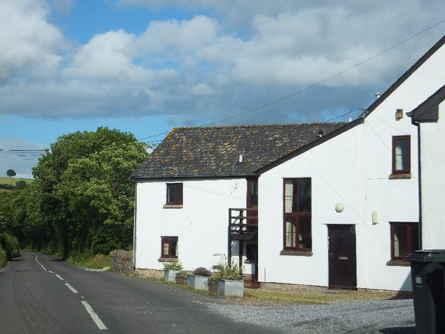
Christow
Christow is a village and civil parish in the Teignbridge district of Devon, England, about 12 miles (19 km) southwest of Exeter. The village is in the...
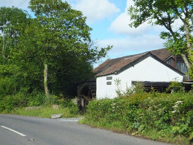
Lower Ashton
Lower Ashton is a village on the western slopes of Haldon in Teignbridge, Devon, England. Along with Higher Ashton it is part of the civil parish of Ashton...

Doddiscombsleigh
Doddiscombsleigh (anciently Doddescombe Leigh) is a small settlement in Devon, England. It is 5 miles (8 km) southwest of the city of Exeter and one mile...
Ashton railway station
Ashton railway station was a railway station serving the village of Ashton in Devon, England. It was located on the Teign Valley line. == History == The...
Nearby Amenities
Located within 500m of 50.674484,-3.681179Have you been to Lower Lowton Down?
Leave your review of Lower Lowton Down below (or comments, questions and feedback).