Fardingmullach Muir
Downs, Moorland in Dumfriesshire
Scotland
Fardingmullach Muir
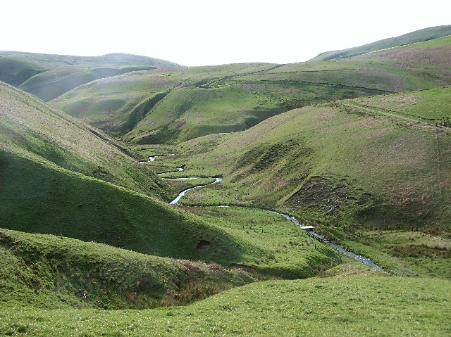
Fardingmullach Muir is a picturesque area located in Dumfriesshire, Scotland. Situated amidst the rolling hills and breathtaking landscapes, it is renowned for its natural beauty and tranquil atmosphere. The region is largely characterized by its downs and moorland, which add to its scenic charm.
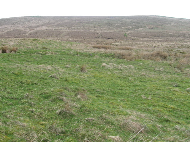
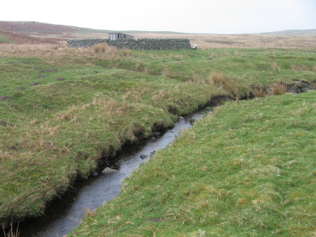
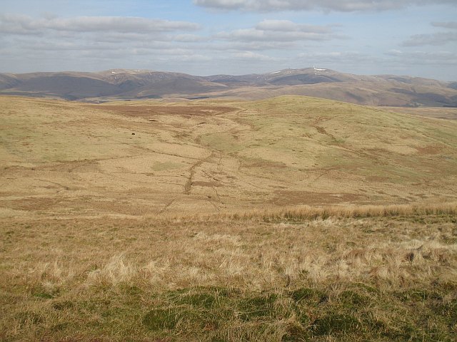
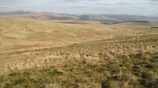
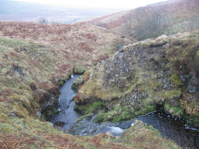
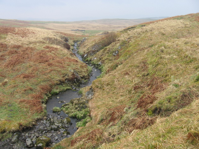
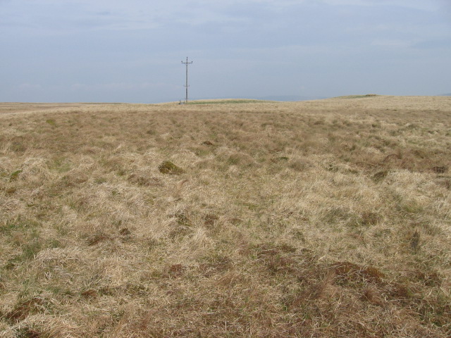
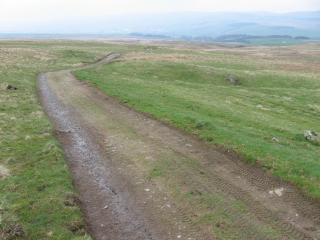
The downs of Fardingmullach Muir are vast grassy plains that stretch across the landscape, offering stunning panoramic views of the surrounding countryside. These downs are dotted with scattered trees and patches of heather, creating a diverse and vibrant ecosystem. The gentle slopes and undulating terrain make it a popular destination for hiking and nature enthusiasts.
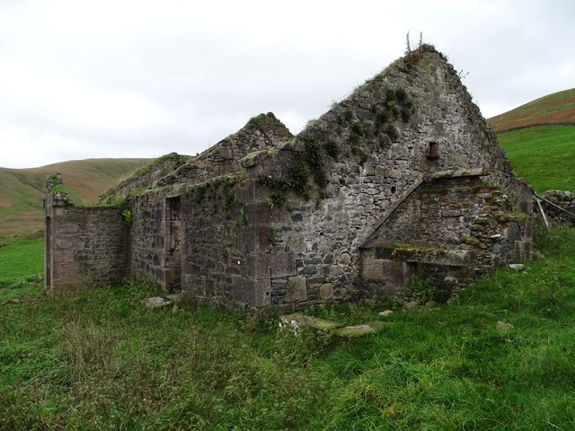
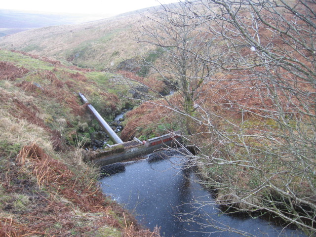
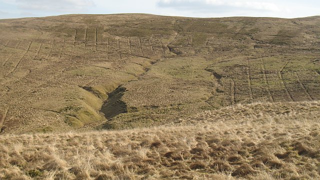
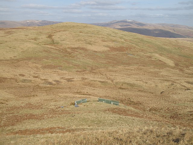
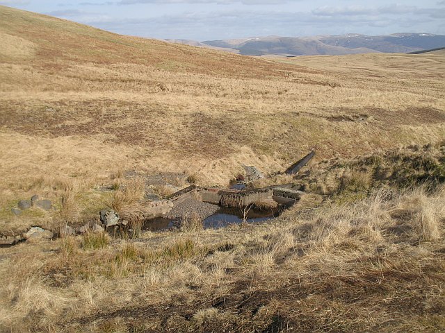
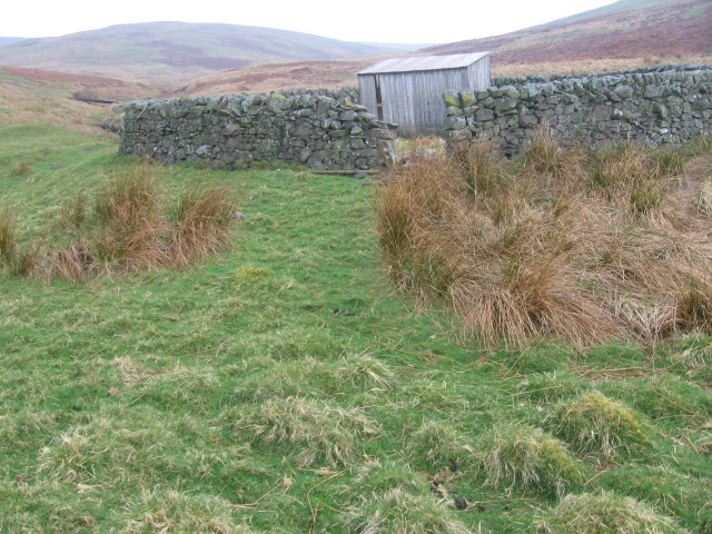
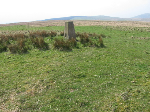
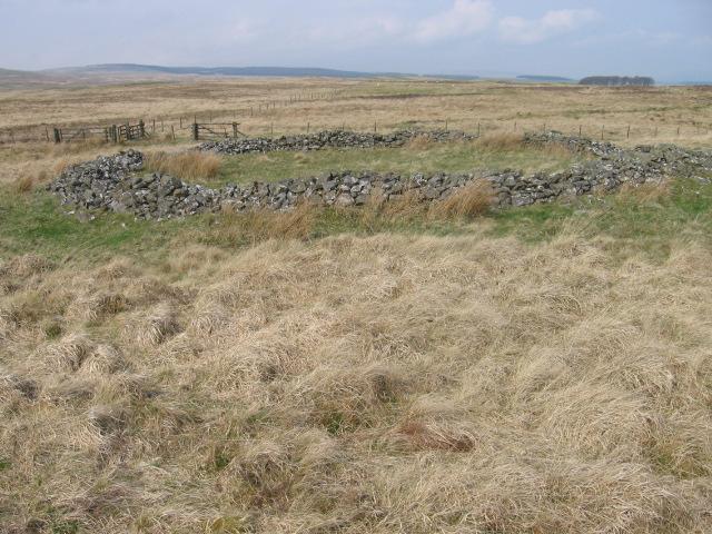
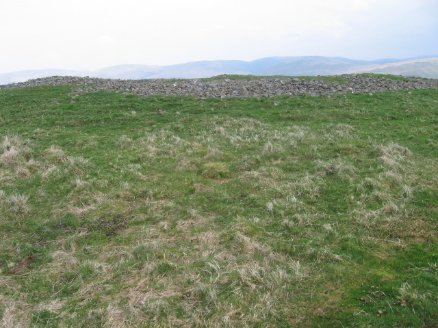
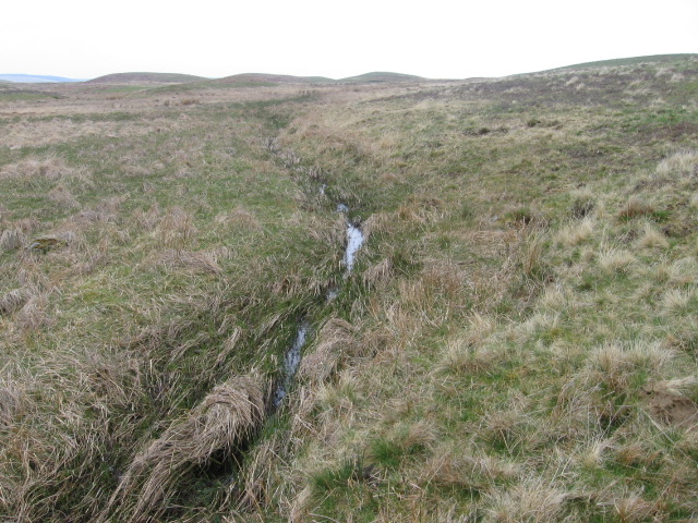
The moorland of Fardingmullach Muir is a unique feature of the area, characterized by its vast expanses of heath and peat bogs. This rugged and wild landscape provides a home to a variety of plant and animal species, including heather, mosses, and birds such as curlews and red grouse. The moorland is also known for its rich historical and cultural significance, with remnants of ancient settlements and structures scattered throughout the area.
Visitors to Fardingmullach Muir can immerse themselves in the tranquility of nature, enjoying long walks, birdwatching, or simply taking in the stunning views. The area offers a sense of escape from the hustle and bustle of modern life, allowing visitors to connect with the natural world and appreciate the beauty of the Scottish countryside.
If you have any feedback on the listing, please let us know in the comments section below.
Fardingmullach Muir Images
Images are sourced within 2km of 55.31486/-3.871741 or Grid Reference NS8103. Thanks to Geograph Open Source API. All images are credited.
Fardingmullach Muir is located at Grid Ref: NS8103 (Lat: 55.31486, Lng: -3.871741)
Unitary Authority: Dumfries and Galloway
Police Authority: Dumfries and Galloway
What 3 Words
///laying.fruits.clock. Near Sanquhar, Dumfries & Galloway
Nearby Locations
Related Wikis

Mennock Lye Goods Depot
Mennock Lye Goods Depot or Mennock Siding was a railway freight facility located off the A76 in the hamlet of Mennock that lies circa two miles (three...

Mennock
Mennock is a small village or hamlet which lies 2 miles (3.2 km) south-east of Sanquhar on the A76, in Dumfriesshire, in the District Council Region of...

Kirkbride, Durisdeer
Kirkbride, previously Kilbride was an ancient parish close to the village of Enterkinfoot, the lands of which lay on both sides of the River Nith in the...
Enterkinfoot
Enterkinfoot is a small village or hamlet which lies 6 miles (9.7 km) north of Thornhill on the A76 on the route to Sanquhar, in Dumfriesshire, Durisdeer...

Drumlanrig Castle
Drumlanrig Castle is situated on the Queensberry Estate in Dumfries and Galloway, Scotland. The category A listed castle is the Dumfriesshire home of the...

Sanquhar Castle
Sanquhar Castle, now a ruin, was built in the 13th century; the ruins are situated north east of Dumfries overlooking the River Nith. Situated on the southern...
Drumlanrig
Drumlanrig (Scottish Gaelic: Druim Lannraig) is a settlement in Dumfries and Galloway, Scotland, which is best known for nearby Drumlanrig Castle. The...

Sanquhar
Sanquhar (Scots: Sanchar, Scottish Gaelic: Seanchair) is a village on the River Nith in Dumfries and Galloway, Scotland, north of Thornhill and west of...
Nearby Amenities
Located within 500m of 55.31486,-3.871741Have you been to Fardingmullach Muir?
Leave your review of Fardingmullach Muir below (or comments, questions and feedback).