Coed Pant-y-cleidir
Downs, Moorland in Merionethshire
Wales
Coed Pant-y-cleidir

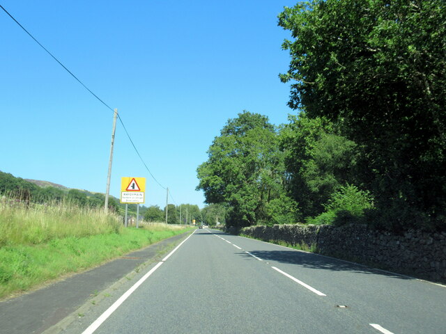
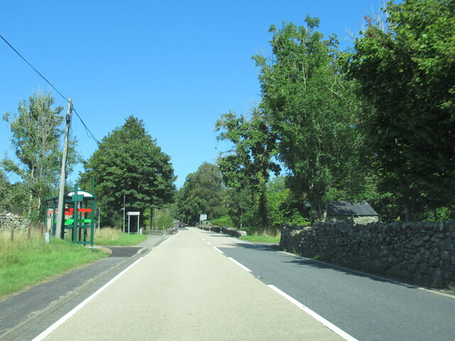
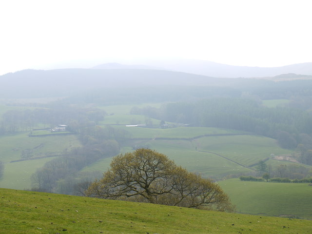
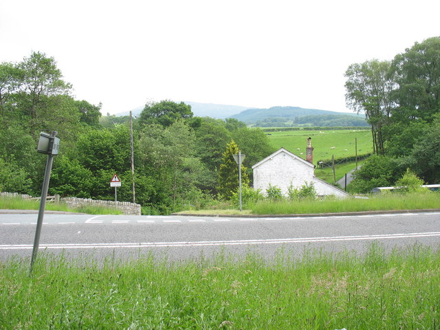
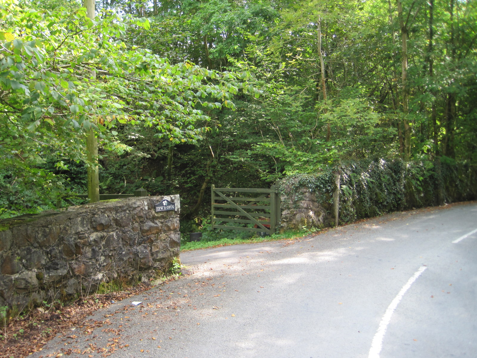
Coed Pant-y-cleidir is a vast and picturesque area located in Merionethshire, Wales. It is renowned for its breathtaking downs and moorland landscapes, attracting nature enthusiasts and hikers from all over the country. The area spans over several square kilometers and is characterized by its undulating terrain, covered with a variety of vegetation and wildlife.
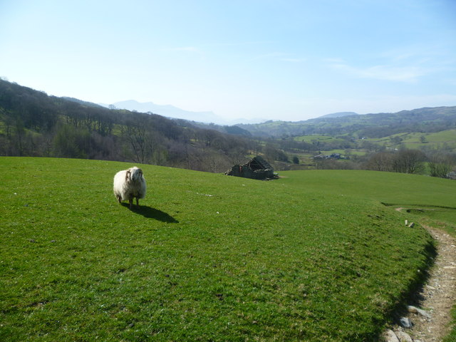
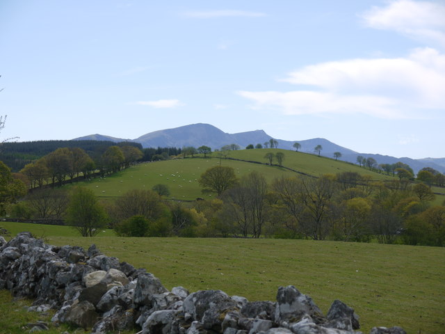
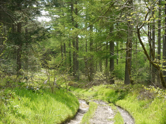
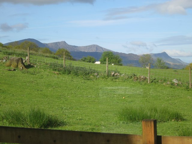
The downs of Coed Pant-y-cleidir are characterized by their rolling hills and grassy meadows, providing a serene and tranquil setting for visitors. The vibrant greenery extends as far as the eye can see, interrupted only by the occasional rocky outcrop or clusters of trees. It is a haven for numerous species of birds, making it a popular spot for birdwatchers.
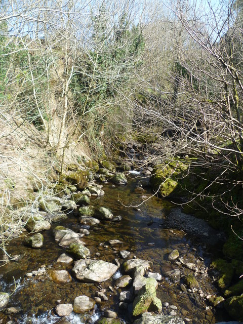
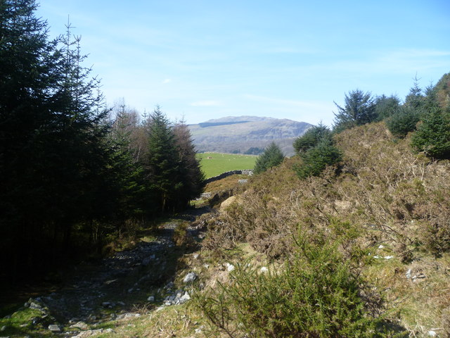
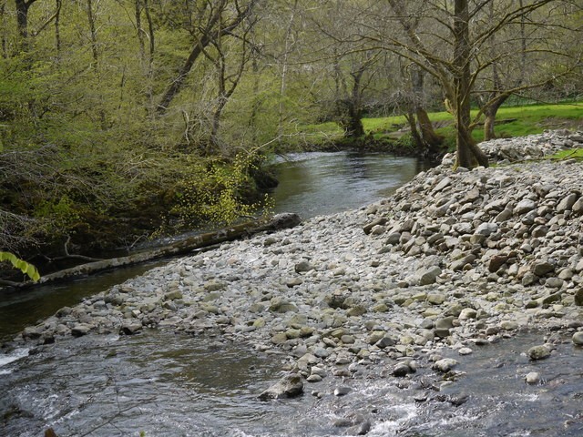
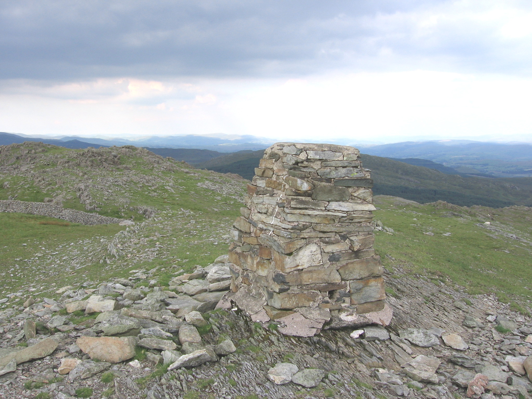
In contrast, the moorland of Coed Pant-y-cleidir offers a more rugged and wild landscape. Here, visitors can witness the beauty of vast expanses of heather and gorse, interspersed with rocky outcrops and small streams. The moorland is home to a diverse range of flora and fauna, including wild ponies and rare plant species.
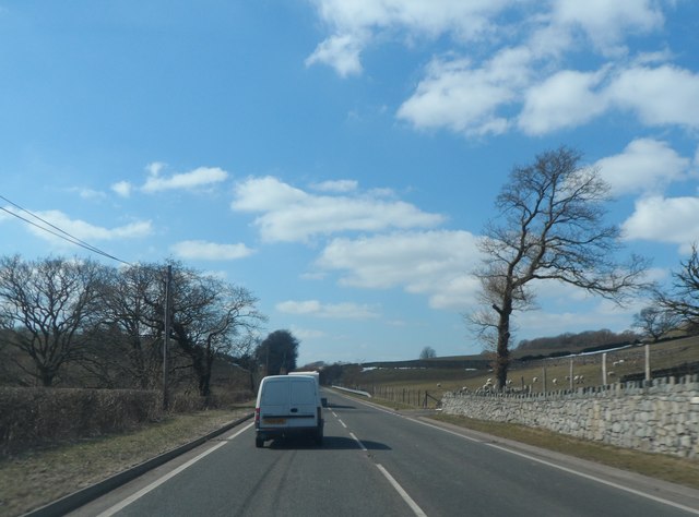
For those seeking outdoor activities, Coed Pant-y-cleidir offers an extensive network of walking trails, allowing visitors to explore the area at their own pace. The trails vary in difficulty, catering to both novice and experienced hikers. Along the way, hikers can enjoy panoramic views of the surrounding countryside and may even spot some of the local wildlife.
Overall, Coed Pant-y-cleidir is a natural gem in Merionethshire, offering a diverse range of landscapes and outdoor activities for visitors to enjoy. Whether one seeks tranquility in the downs or adventure in the moorland, this area promises an unforgettable experience in the heart of nature.
If you have any feedback on the listing, please let us know in the comments section below.
Coed Pant-y-cleidir Images
Images are sourced within 2km of 52.782757/-3.7613254 or Grid Reference SH8122. Thanks to Geograph Open Source API. All images are credited.

Coed Pant-y-cleidir is located at Grid Ref: SH8122 (Lat: 52.782757, Lng: -3.7613254)
Unitary Authority: Gwynedd
Police Authority: North Wales
What 3 Words
///eats.unpacked.events. Near Dolgellau, Gwynedd
Nearby Locations
Related Wikis
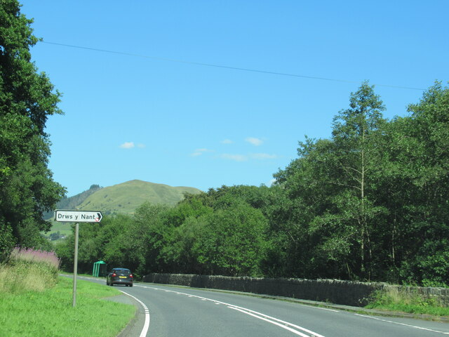
Drws-y-Nant
Drws-y-Nant is a village in Gwynedd, Wales. It was formerly served by the Drws-y-Nant railway station but this closed in 1965.

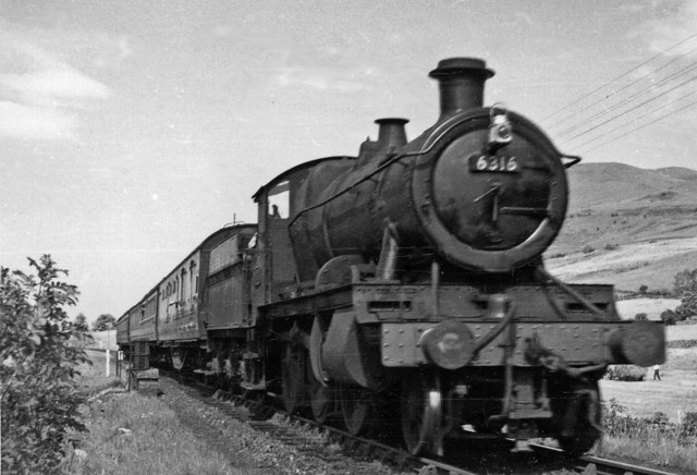
Drws-y-Nant railway station
Drws-y-Nant railway station (Pron: Droos-a-Nant) in Gwynedd, Wales, was formerly a station on the Ruabon to Barmouth line. The station had two platforms...

Allt y Benglog National Nature Reserve
Allt y Benglog is a small national nature reserve near Dolgellau in Wales.Its position on the lower slopes of Rhobell Fawr, one of north Wales’ extinct...
Wnion Halt railway station
Wnion Halt (Pron: Oon-y'n) in Gwynedd, Wales, was on the Ruabon to Barmouth line. The station was situated in a narrow part of the Wnion Valley next to...

Brithdir and Llanfachreth
Brithdir and Llanfachreth is a community in the county of Gwynedd, Wales, near Dolgellau, and is 93.1 miles (149.8 km) from Cardiff and 178.4 miles (287...

Pen y Brynfforchog
Pen y Brynfforchog is subsidiary summit of Glasgwm in North Wales forming part of the Aran range in southern Snowdonia.It is separated from Glasgwm by...

Craig Cywarch
Craig Cywarch is an extensive crag looming above Cwm Cywarch. The nearest village is Dinas Mawddwy on the A470. Climbing routes on the various buttresses...
Rhobell Fawr
Rhobell Fawr is the site of an ancient volcano that was active during the Early Ordovician period in the Arenig range within the Snowdonia National Park...
Nearby Amenities
Located within 500m of 52.782757,-3.7613254Have you been to Coed Pant-y-cleidir?
Leave your review of Coed Pant-y-cleidir below (or comments, questions and feedback).