Coed Brith-fryniau
Wood, Forest in Merionethshire
Wales
Coed Brith-fryniau

Coed Brith-fryniau, located in Merionethshire, is a picturesque woodland area known for its natural beauty and abundant wildlife. Covering an area of approximately [insert size], this forest is a haven for nature enthusiasts and outdoor adventurers.
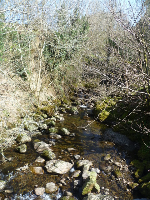
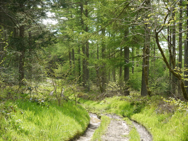
The woodland is predominantly composed of [insert tree species] trees, creating a dense and lush canopy that provides shade and shelter for a diverse array of flora and fauna. The forest floor is covered in a rich carpet of moss, ferns, and wildflowers, adding to the enchanting atmosphere.
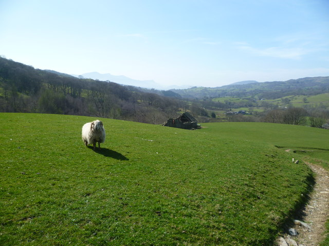
Coed Brith-fryniau is home to a wide range of wildlife, including various bird species, such as [insert examples], as well as mammals like red squirrels, deer, and badgers. Nature lovers can often spot these animals while exploring the numerous walking trails that wind through the forest.
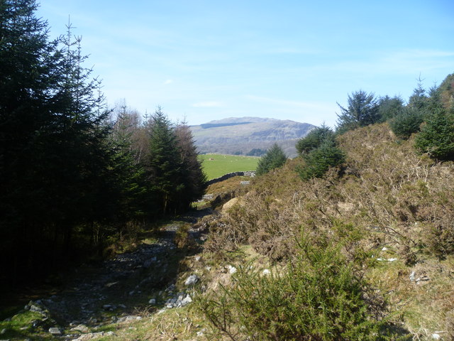
The forest offers a multitude of recreational activities for visitors to enjoy. Hiking and walking are popular pursuits, with well-marked trails leading to scenic viewpoints and hidden gems within the woodland. Additionally, there are designated picnic areas where visitors can relax and soak in the tranquil surroundings.
Coed Brith-fryniau is not only a place of natural beauty but also holds cultural significance. It has been a source of inspiration for artists and writers throughout the years, with its ethereal atmosphere and stunning vistas. The forest is also home to ancient ruins and historical landmarks, adding to its charm and allure.
In conclusion, Coed Brith-fryniau is a captivating woodland area in Merionethshire, offering a sanctuary for wildlife, a playground for outdoor enthusiasts, and a source of inspiration for those seeking solace in nature.
If you have any feedback on the listing, please let us know in the comments section below.
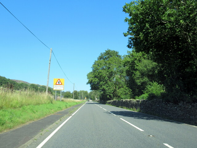
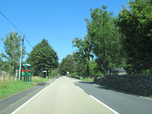
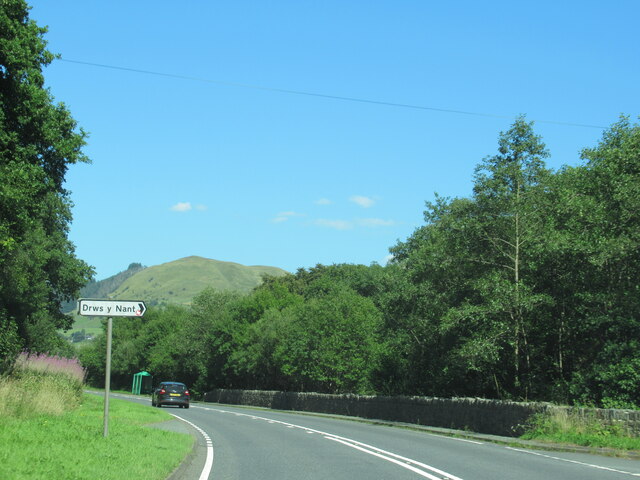
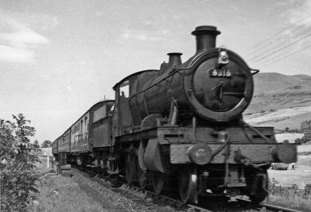
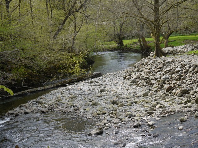
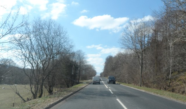
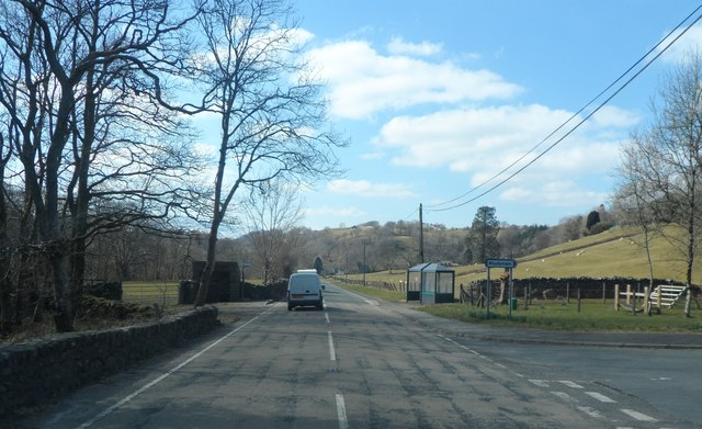
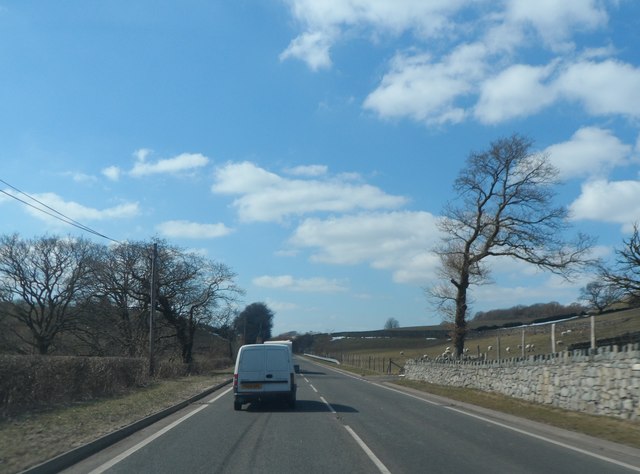
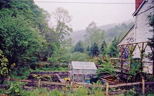
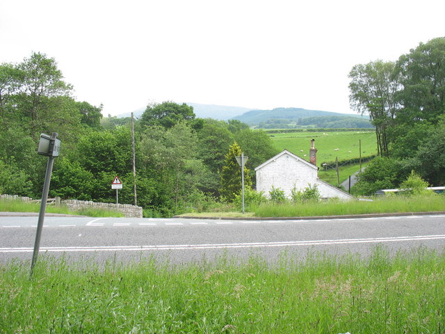
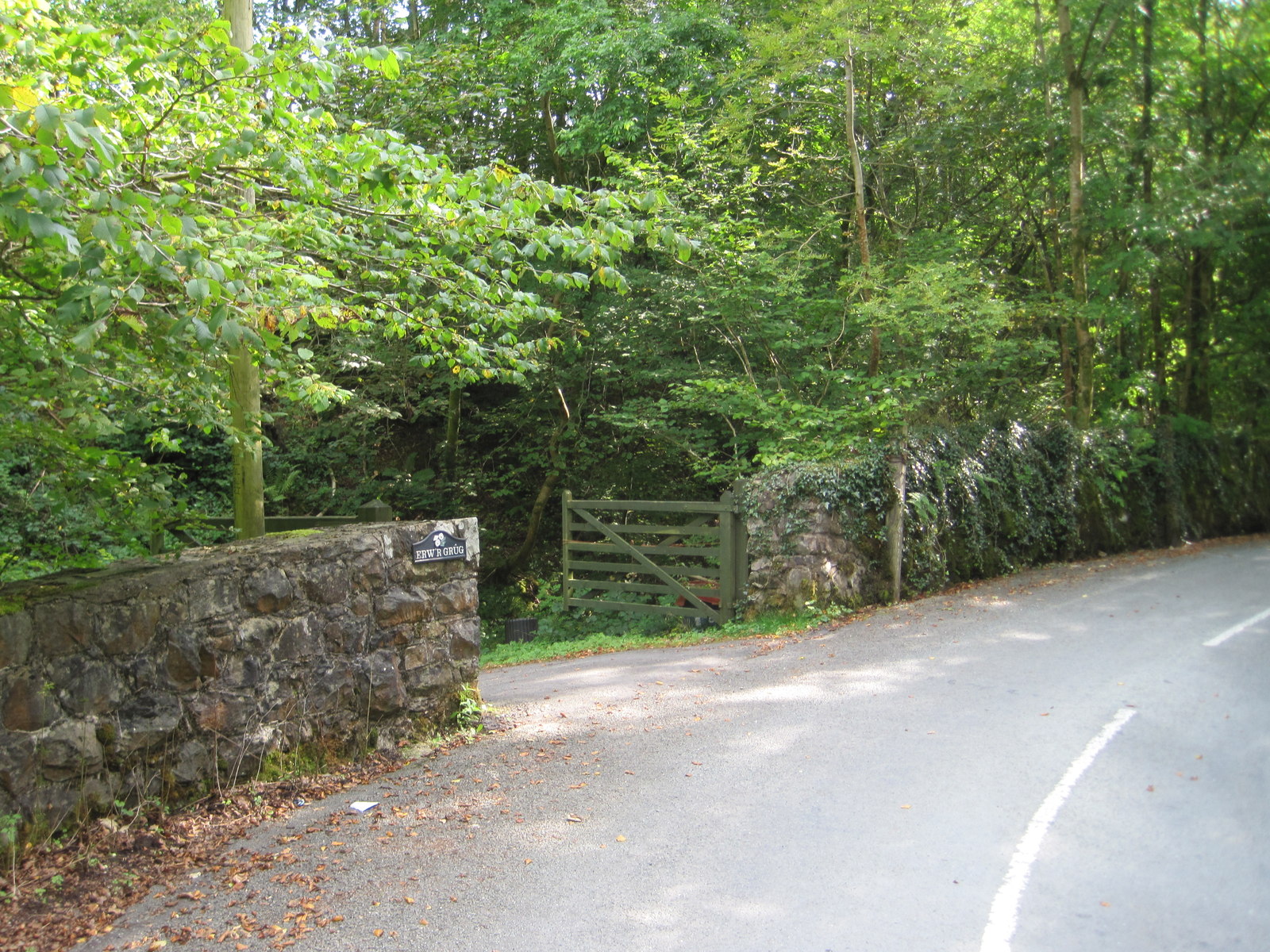
Coed Brith-fryniau Images
Images are sourced within 2km of 52.782945/-3.7540821 or Grid Reference SH8122. Thanks to Geograph Open Source API. All images are credited.


Coed Brith-fryniau is located at Grid Ref: SH8122 (Lat: 52.782945, Lng: -3.7540821)
Unitary Authority: Gwynedd
Police Authority: North Wales
What 3 Words
///slung.tasks.bumping. Near Llanuwchllyn, Gwynedd
Nearby Locations
Related Wikis
Drws-y-Nant
Drws-y-Nant is a village in Gwynedd, Wales. It was formerly served by the Drws-y-Nant railway station but this closed in 1965.

Drws-y-Nant railway station
Drws-y-Nant railway station (Pron: Droos-a-Nant) in Gwynedd, Wales, was formerly a station on the Ruabon to Barmouth line. The station had two platforms...

Allt y Benglog National Nature Reserve
Allt y Benglog is a small national nature reserve near Dolgellau in Wales.Its position on the lower slopes of Rhobell Fawr, one of north Wales’ extinct...
Wnion Halt railway station
Wnion Halt (Pron: Oon-y'n) in Gwynedd, Wales, was on the Ruabon to Barmouth line. The station was situated in a narrow part of the Wnion Valley next to...

Brithdir and Llanfachreth
Brithdir and Llanfachreth is a community in the county of Gwynedd, Wales, near Dolgellau, and is 93.1 miles (149.8 km) from Cardiff and 178.4 miles (287...

Craig Cywarch
Craig Cywarch is an extensive crag looming above Cwm Cywarch. The nearest village is Dinas Mawddwy on the A470. Climbing routes on the various buttresses...

Pen y Brynfforchog
Pen y Brynfforchog is subsidiary summit of Glasgwm in North Wales forming part of the Aran range in southern Snowdonia.It is separated from Glasgwm by...

Gwaun y Llwyni
Gwaun y Llwyni is a subsidiary summit of Aran Fawddwy in southern Snowdonia, Wales. It forms a part of the Aran mountain range. The peak's southern face...
Nearby Amenities
Located within 500m of 52.782945,-3.7540821Have you been to Coed Brith-fryniau?
Leave your review of Coed Brith-fryniau below (or comments, questions and feedback).