Copplestone Plantation

Wood, Forest in Devon Teignbridge

England

Copplestone Plantation

River Teign near Steps Bridge Looking upstream.
River Teign near Steps Bridge Credit: Jonathan Thacker

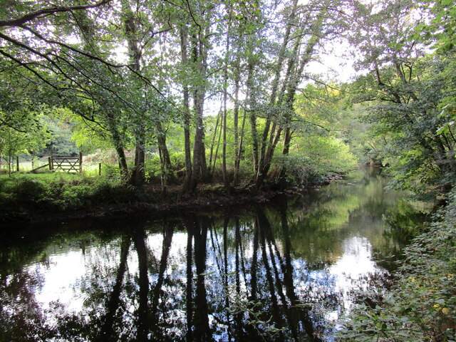
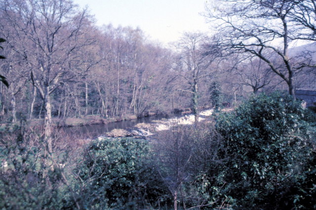
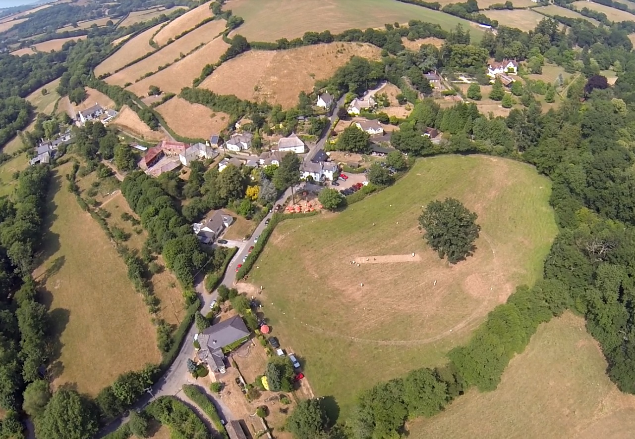
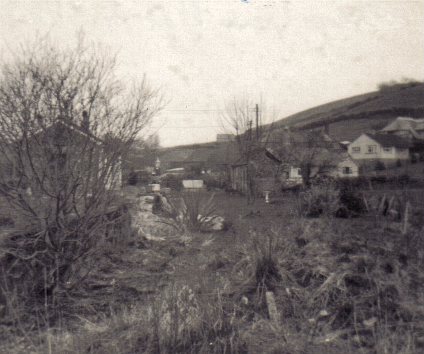
Copplestone Plantation is a picturesque woodland located in the county of Devon, in southwestern England. Covering an area of approximately 200 acres, it is a captivating destination for nature enthusiasts and those seeking tranquility amidst the beauty of the countryside.

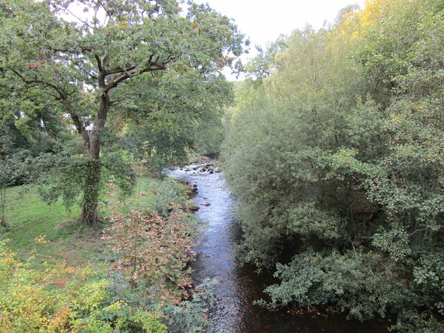
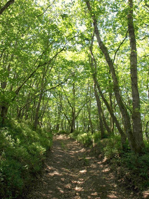
This woodland sanctuary is known for its diverse range of flora and fauna, with majestic trees providing a lush canopy that shelters a variety of wildlife. The plantation is home to a mix of deciduous and coniferous trees, including oak, beech, spruce, and pine, creating a vibrant and ever-changing landscape throughout the seasons.

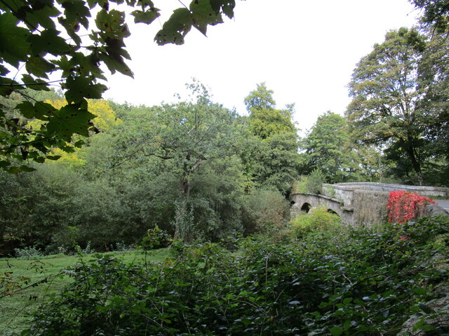
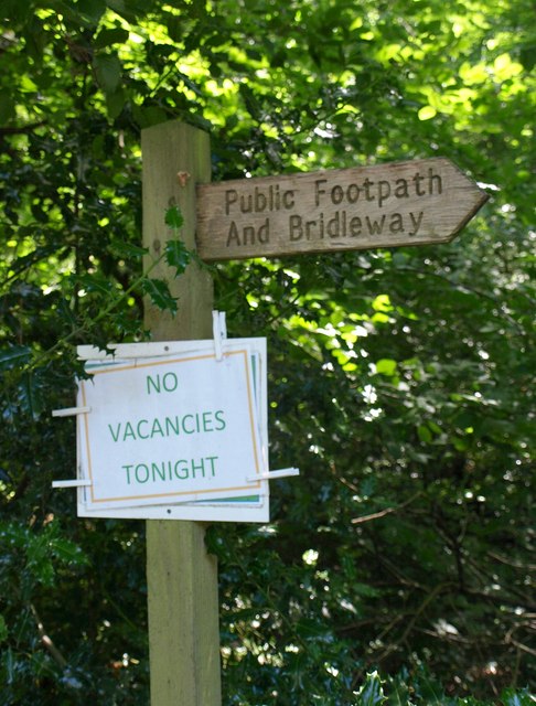
Visitors to Copplestone Plantation can explore the network of well-maintained footpaths and trails that meander through the woodland, allowing for leisurely walks, jogging, and cycling. The paths are clearly marked, making it easy for visitors to navigate and discover the hidden gems of this natural oasis.

In addition to its natural beauty, Copplestone Plantation offers recreational facilities to enhance visitors' experience. There are picnic areas scattered throughout the woodland, providing a peaceful spot to enjoy a packed lunch or simply soak in the serenity of the surroundings. The plantation also features a children's play area, making it an ideal destination for families to spend quality time together.

Throughout the year, various events and activities are organized at Copplestone Plantation, including guided nature walks, conservation workshops, and educational programs for schools. These initiatives aim to promote awareness and appreciation of the environment, fostering a sense of stewardship among visitors.

Overall, Copplestone Plantation is a haven of natural beauty and tranquility, offering an escape from the hustle and bustle of everyday life. Whether it's a leisurely stroll through the woods, a family picnic, or an educational excursion, this enchanting woodland provides a delightful experience for all who visit.

If you have any feedback on the listing, please let us know in the comments section below.

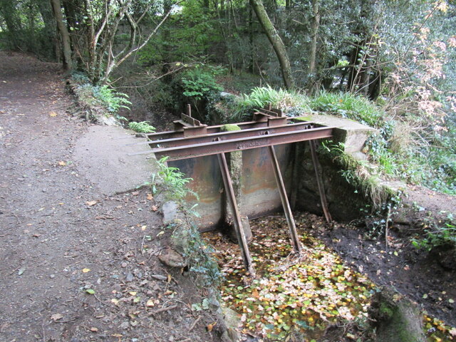
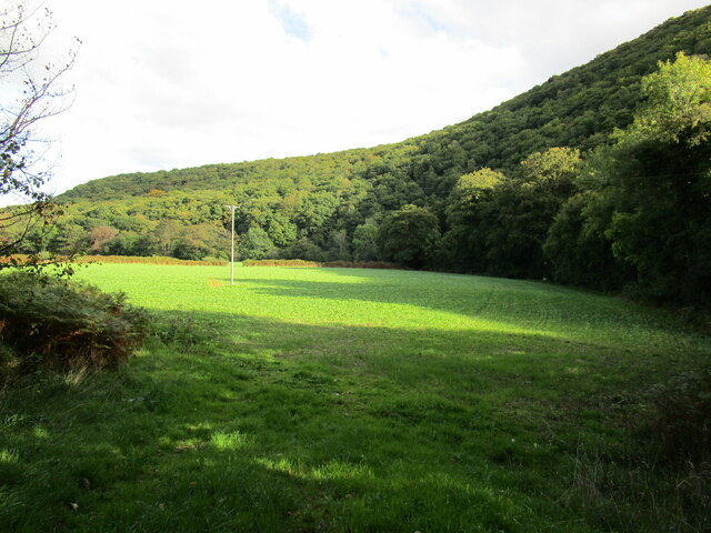
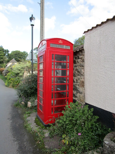
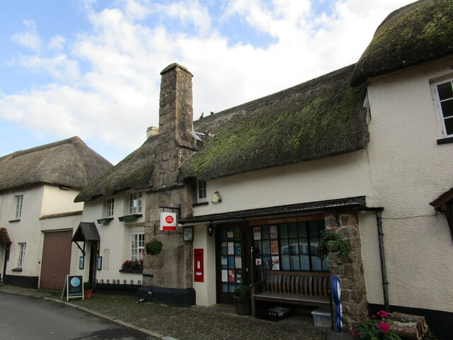
Copplestone Plantation Images

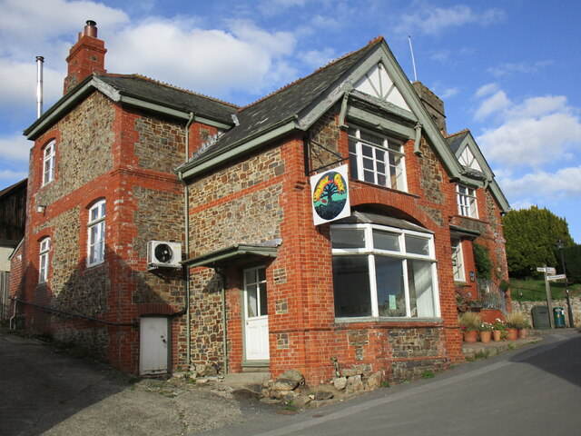
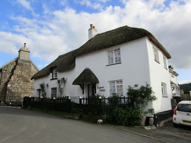
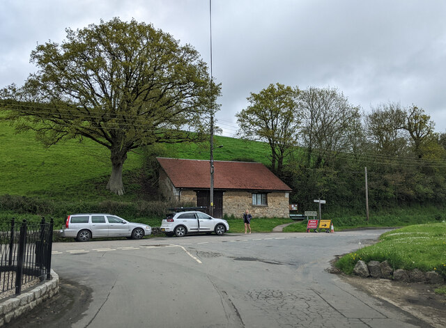
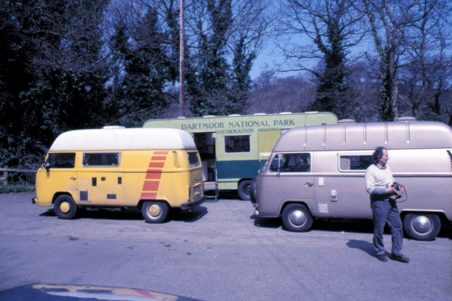
Images are sourced within 2km of 50.676198/-3.6745597 or Grid Reference SX8187. Thanks to Geograph Open Source API. All images are credited.

River Teign near Steps Bridge Looking upstream.
River Teign near Steps Bridge
Looking upstream.
Cottages, Dunsford Date from the early nineteenth century <span class="nowrap"><a title="https://historicengland.org.uk/listing/the-list/list-entry/1215490?section=official-list-entry" rel="nofollow ugc noopener" href="https://historicengland.org.uk/listing/the-list/list-entry/1215490?section=official-list-entry">Link</a><img style="margin-left:2px;" alt="External link" title="External link - shift click to open in new window" src="https://s1.geograph.org.uk/img/external.png" width="10" height="10"/></span>
Cottages, Dunsford
Date from the early nineteenth century LinkExternal link
Steps Bridge
Steps Bridge
The River Teign at Steps Bridge Looking upstream.
The River Teign at Steps Bridge
Looking upstream.
Sluice at Steps Bridge
Grassland and Bridford Wood
Telephone Kiosk, Dunsford K6 telephone kiosk with working telephone <span class="nowrap"><a title="https://historicengland.org.uk/listing/the-list/list-entry/1228634?section=official-list-entry" rel="nofollow ugc noopener" href="https://historicengland.org.uk/listing/the-list/list-entry/1228634?section=official-list-entry">Link</a><img style="margin-left:2px;" alt="External link" title="External link - shift click to open in new window" src="https://s1.geograph.org.uk/img/external.png" width="10" height="10"/></span>
Telephone Kiosk, Dunsford
K6 telephone kiosk with working telephone LinkExternal link
Post Office, Dunsford The building probably dates from the late sixteenth century <span class="nowrap"><a title="https://historicengland.org.uk/listing/the-list/list-entry/1215127?section=official-list-entry" rel="nofollow ugc noopener" href="https://historicengland.org.uk/listing/the-list/list-entry/1215127?section=official-list-entry">Link</a><img style="margin-left:2px;" alt="External link" title="External link - shift click to open in new window" src="https://s1.geograph.org.uk/img/external.png" width="10" height="10"/></span>
Post Office, Dunsford
The building probably dates from the late sixteenth century LinkExternal link
The Royal Oak, Dunsford
Dymond Cottage, Dunsford Dymond Cottage probably dates from the eighteenth century <span class="nowrap"><a title="https://historicengland.org.uk/listing/the-list/list-entry/1214828?section=official-list-entry" rel="nofollow ugc noopener" href="https://historicengland.org.uk/listing/the-list/list-entry/1214828?section=official-list-entry">Link</a><img style="margin-left:2px;" alt="External link" title="External link - shift click to open in new window" src="https://s1.geograph.org.uk/img/external.png" width="10" height="10"/></span> The adjacent cottage (on the left) is of similar date <span class="nowrap"><a title="https://historicengland.org.uk/listing/the-list/list-entry/1214827?section=official-list-entry" rel="nofollow ugc noopener" href="https://historicengland.org.uk/listing/the-list/list-entry/1214827?section=official-list-entry">Link</a><img style="margin-left:2px;" alt="External link" title="External link - shift click to open in new window" src="https://s1.geograph.org.uk/img/external.png" width="10" height="10"/></span>
Dymond Cottage, Dunsford
Dymond Cottage probably dates from the eighteenth century LinkExternal link The adjacent cottage (on the left) is of similar date LinkExternal link
On the west side of Dunsford, there's been a road closed
Dartmoor National Park Information - 1987 Dartmoor National Park Information at the car park near Steps Bridge.
Dartmoor National Park Information - 1987
Dartmoor National Park Information at the car park near Steps Bridge.
River Teign Weir - 1987 River Teign Weir near Steps Bridge.
River Teign Weir - 1987
River Teign Weir near Steps Bridge.
Tower, St. Mary's, Dunsford, Devon
Mill near Steps Bridge The waterwheel is visible by the gate
Mill near Steps Bridge
The waterwheel is visible by the gate
Converted buildings on the outskirts of Dunsford Some of these buildings formed a watermill; the River Teign runs close behind them
Converted buildings on the outskirts of Dunsford
Some of these buildings formed a watermill; the River Teign runs close behind them
"No vacancies tonight" A rather discouraging notice at the start of the right of way carrying Bridford Bridleway 38 and Footpath 32 away from the car park near Steps Bridge. I assume it refers to the former youth hostel.
"No vacancies tonight"
A rather discouraging notice at the start of the right of way carrying Bridford Bridleway 38 and Footpath 32 away from the car park near Steps Bridge. I assume it refers to the former youth hostel.
Path in Bridford Wood Bridford Footpath 32 climbs through delightful woodland above the Teign.
Path in Bridford Wood
Bridford Footpath 32 climbs through delightful woodland above the Teign.
Show me another place!

Copplestone Plantation is located at Grid Ref: SX8187 (Lat: 50.676198, Lng: -3.6745597)

Administrative County: Devon

District: Teignbridge

Police Authority: Devon and Cornwall

What 3 Words

///culling.bravery.like. Near Moretonhampstead, Devon

Related Wikis

Bridford

Bridford is a village and civil parish in south west England, located in the Teign Valley, Devon on the edge of Dartmoor. The parish is surrounded (clockwise...

Dunsford

Dunsford is a village in Devon, England, just inside the Dartmoor National Park. The place-name 'Dunsford' is first attested in the Domesday Book of 1086...

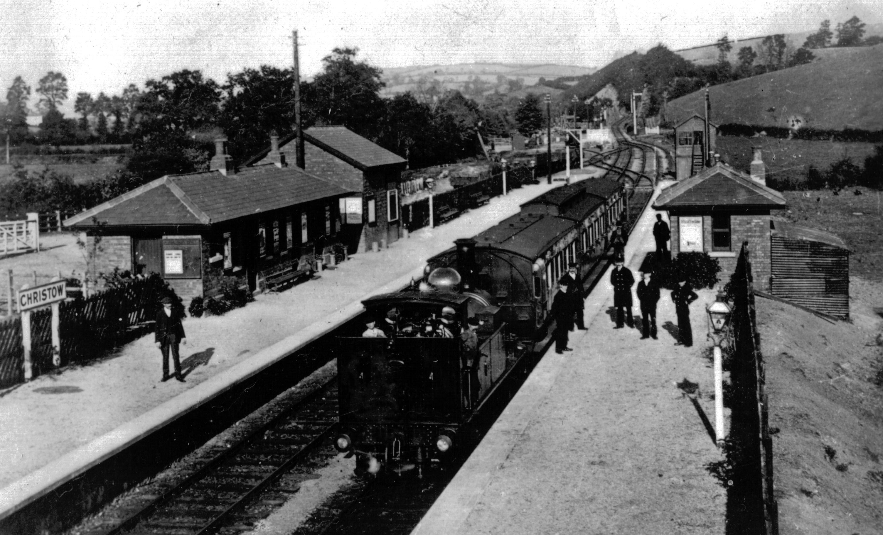
Christow railway station

Christow Railway Station's previously known as Teign House was a railway station serving the villages of Christow, Bridford and Doddiscombsleigh in Devon...

Dunsford Halt railway station

Dunsford Halt was a railway station serving Dunsford, a small village in Devon, England, on the Teign Valley Line between the towns of Newton Abbot and...

Christow

Christow is a village and civil parish in the Teignbridge district of Devon, England, about 12 miles (19 km) southwest of Exeter. The village is in the...

Doddiscombsleigh

Doddiscombsleigh (anciently Doddescombe Leigh) is a small settlement in Devon, England. It is 5 miles (8 km) southwest of the city of Exeter and one mile...

Lower Ashton

Lower Ashton is a village on the western slopes of Haldon in Teignbridge, Devon, England. Along with Higher Ashton it is part of the civil parish of Ashton...

Ashton railway station

Ashton railway station was a railway station serving the village of Ashton in Devon, England. It was located on the Teign Valley line. == History == The...

Nearby Amenities

Located within 500m of 50.676198,-3.6745597
Barrier: stile
Lat/Long: 50.6744753/-3.6791599
Generator Method: photovoltaic
Generator Output Electricity: yes
Generator Source: solar
Generator Type: solar_photovoltaic_panel
Location: roof
Power: generator
Lat/Long: 50.6718337/-3.6734703
Generator Method: photovoltaic
Generator Output Electricity: yes
Generator Source: solar
Generator Type: solar_photovoltaic_panel
Location: roof
Power: generator
Lat/Long: 50.6773529/-3.6741999
Generator Method: photovoltaic
Generator Output Electricity: yes
Generator Source: solar
Generator Type: solar_photovoltaic_panel
Location: roof
Power: generator
Lat/Long: 50.6786021/-3.6688717
Power: pole
Source: bing
Lat/Long: 50.6773699/-3.6791767
Power: pole
Source: bing
Lat/Long: 50.6775466/-3.6779295
Power: pole
Source: bing
Lat/Long: 50.6777344/-3.6766595
Power: pole
Source: bing
Lat/Long: 50.6782656/-3.6750743
Power: pole
Source: bing
Lat/Long: 50.6786412/-3.6744922
Power: pole
Source: bing
Lat/Long: 50.6797468/-3.6714707
Power: pole
Source: bing
Lat/Long: 50.6794069/-3.6724193
Power: pole
Source: bing
Lat/Long: 50.6790755/-3.6733094
The data included in this document is from www.openstreetmap.org. The data is made available under ODbL.

Have you been to Copplestone Plantation?

Leave your review of Copplestone Plantation below (or comments, questions and feedback).