West Down Plantation

Wood, Forest in Devon North Devon

England

West Down Plantation

Witheridge: entrance to Bradford Tracy Looking north west by an entrance lodge to the estate
Witheridge: entrance to Bradford Tracy Credit: Martin Bodman

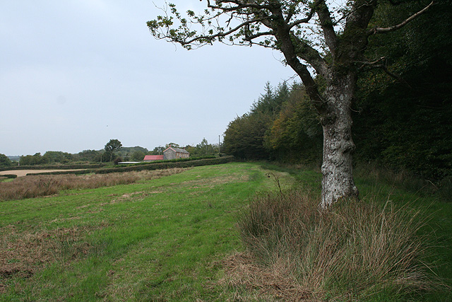
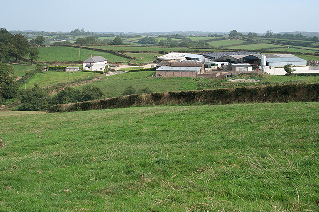
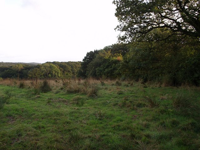
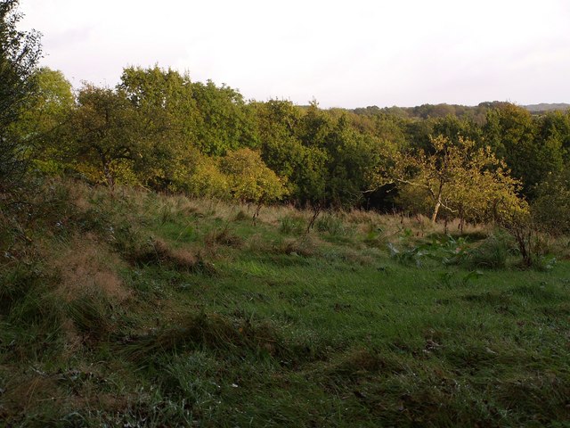
West Down Plantation is a picturesque woodland located in Devon, England. Spanning over a vast area, it is a haven for nature enthusiasts and provides a tranquil escape from the bustling city life. The plantation is renowned for its dense forest and lush greenery, making it an ideal destination for hiking, birdwatching, and wildlife spotting.

The woodland boasts an impressive variety of tree species, including oak, beech, and pine, creating a diverse ecosystem that supports a wide range of flora and fauna. Walking through the plantation, visitors can marvel at the towering trees that form a canopy above, providing shade and shelter to the numerous creatures that call this place home.

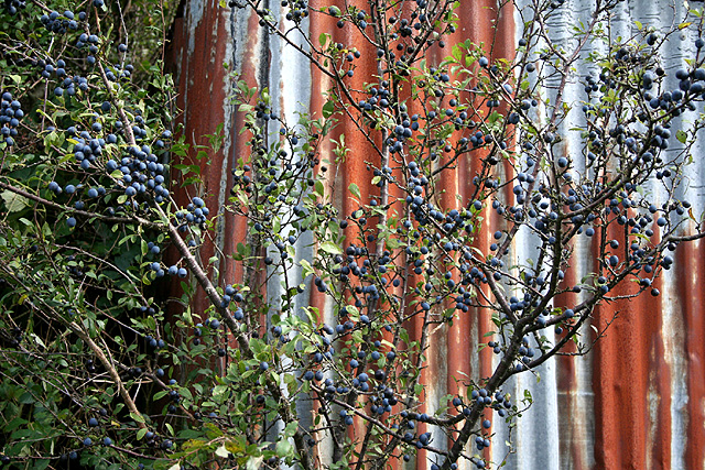
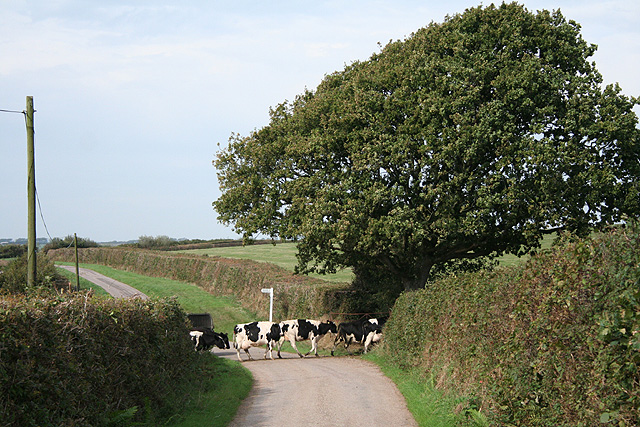
Moreover, West Down Plantation is home to a myriad of wildlife, making it a paradise for nature lovers. Deer, rabbits, and foxes can often be spotted roaming freely, while a plethora of bird species, including woodpeckers and owls, fill the air with their melodious tunes. The plantation also serves as a habitat for various insects and smaller creatures, adding to its rich biodiversity.

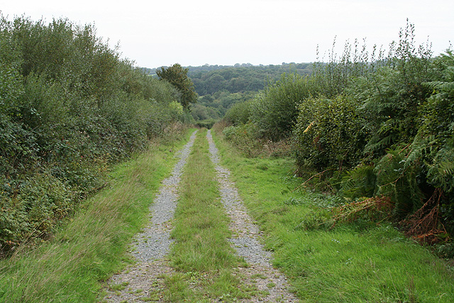
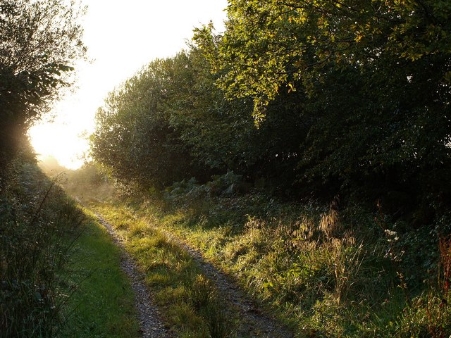
For those seeking outdoor activities, the plantation offers a network of well-maintained trails and paths, allowing visitors to explore the area at their own pace. Whether it's a leisurely stroll or an adventurous hike, there is something for everyone. Additionally, the plantation provides picnic areas and benches, creating perfect spots for visitors to relax and appreciate the natural beauty surrounding them.

In conclusion, West Down Plantation is a stunning woodland in Devon, offering a tranquil retreat for nature enthusiasts. With its diverse range of flora and fauna, well-maintained trails, and breathtaking scenery, it is a must-visit destination for those seeking a connection with nature.

If you have any feedback on the listing, please let us know in the comments section below.

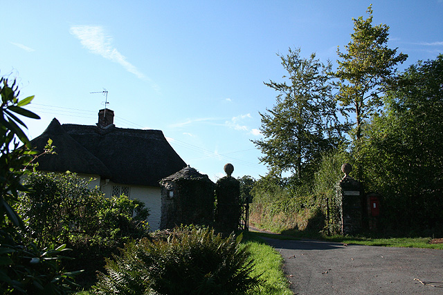
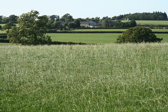
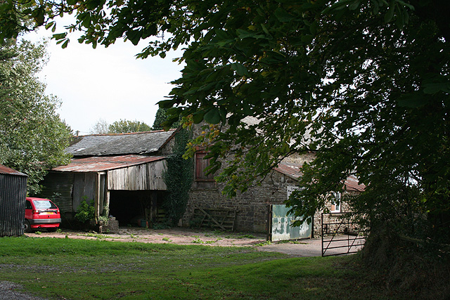
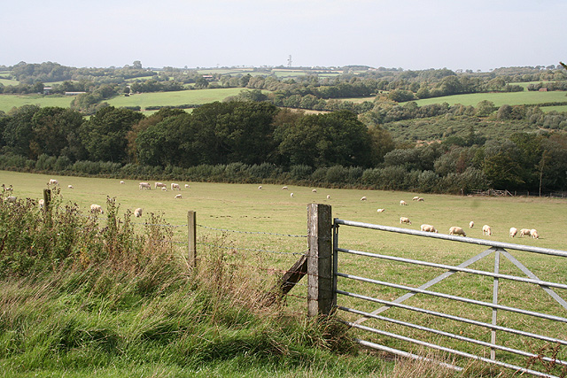
West Down Plantation Images

Images are sourced within 2km of 50.943952/-3.691068 or Grid Reference SS8117. Thanks to Geograph Open Source API. All images are credited.

Witheridge: entrance to Bradford Tracy Looking north west by an entrance lodge to the estate
Witheridge: entrance to Bradford Tracy
Looking north west by an entrance lodge to the estate
Witheridge: above Leat Farm Looking north east
Witheridge: above Leat Farm
Looking north east
Witheridge: towards Broadridge Farm Looking north-north-west
Witheridge: towards Broadridge Farm
Looking north-north-west
Creacombe: Creacombe Parsonage Farm The farm offers bread and breakfast for visitors and there is a camp site. Looking south east
Creacombe: Creacombe Parsonage Farm
The farm offers bread and breakfast for visitors and there is a camp site. Looking south east
Creacombe: near Great Longland Plantation Looking west-north-west towards the Sturcombe River valley. Ash Moor, beyond the square, is on the horizon
Creacombe: near Great Longland Plantation
Looking west-north-west towards the Sturcombe River valley. Ash Moor, beyond the square, is on the horizon
Creacombe: Blackthorn bush with sloes At Creacombe Parsonage Farm. Looking east-south-east
Creacombe: Blackthorn bush with sloes
At Creacombe Parsonage Farm. Looking east-south-east
Creacombe: on Creacombe Moor Looking west-north-west towards farms at Wellhayes and Bulkworthy, both beyond the square
Creacombe: on Creacombe Moor
Looking west-north-west towards farms at Wellhayes and Bulkworthy, both beyond the square
Creacombe: near Crowdhole Looking west-south-west along an access track heading towards Monkey Moor.
Creacombe: near Crowdhole
Looking west-south-west along an access track heading towards Monkey Moor.
Witheridge: Two Moors Way Looking east-north-east towards Bradford Moor House
Witheridge: Two Moors Way
Looking east-north-east towards Bradford Moor House
Witheridge: Bradford Moor House Looking west by the gate
Witheridge: Bradford Moor House
Looking west by the gate
Witheridge: towards North Coombe Looking east by the road from Crowdhole Cross to Bradford Barton
Witheridge: towards North Coombe
Looking east by the road from Crowdhole Cross to Bradford Barton
Creacombe: herd at Crowdhole Cross Looking north-north-west on the lane to Creacombemoor Cross; a left turn leads to Ditchett Cross
Creacombe: herd at Crowdhole Cross
Looking north-north-west on the lane to Creacombemoor Cross; a left turn leads to Ditchett Cross
Witheridge: Bradford Mill This ceased to be a working watermill in the 1930s. The watermill has since become part of a private residence, seen here from the adjoining road. Henry Blackford was miller in the period 1893 - 1906 and William Roberts was listed as miller in 1926; he may well have been the last of the line. Looking south west
Witheridge: Bradford Mill
This ceased to be a working watermill in the 1930s. The watermill has since become part of a private residence, seen here from the adjoining road. Henry Blackford was miller in the period 1893 - 1906 and William Roberts was listed as miller in 1926; he may well have been the last of the line. Looking south west
Field by Grendon Lane North Grendon Plantation is on the right. Taken from Grendon Lane, a green lane across the Sturcombe River valley.
Field by Grendon Lane
North Grendon Plantation is on the right. Taken from Grendon Lane, a green lane across the Sturcombe River valley.
Track near Maire A field access track off the no through lane to Maire, which comes to an end when it reaches the field boundary with the oak trees. Moorpark Copse is the wood glimpsed on the left ahead.
Track near Maire
A field access track off the no through lane to Maire, which comes to an end when it reaches the field boundary with the oak trees. Moorpark Copse is the wood glimpsed on the left ahead.
Orchard at North Grendon An orchard beside the farm buildings at North Grendon, which no longer seem to be inhabited.
Orchard at North Grendon
An orchard beside the farm buildings at North Grendon, which no longer seem to be inhabited.
Grendon Lane A rather damp lane brightens up in some evening sunshine. This long track leads from the nearest public road at Crowdhole for almost a kilometre to reach North Grendon.
Grendon Lane
A rather damp lane brightens up in some evening sunshine. This long track leads from the nearest public road at Crowdhole for almost a kilometre to reach North Grendon.
Field beside Grendon Lane The lane runs behind the hedge on the left; <a href="https://www.geograph.org.uk/photo/570696">SS8017 : Grendon Lane</a> was taken in that section. Beyond, the land slopes down to the Sturcombe River.
Field beside Grendon Lane
The lane runs behind the hedge on the left; SS8017 : Grendon Lane was taken in that section. Beyond, the land slopes down to the Sturcombe River.
Show me another place!

West Down Plantation is located at Grid Ref: SS8117 (Lat: 50.943952, Lng: -3.691068)

Administrative County: Devon

District: North Devon

Police Authority: Devon and Cornwall

What 3 Words

///sailor.exposing.croutons. Near Witheridge, Devon

Related Wikis

Batsworthy

Batsworthy is a village in Devon, England. == References ==

Creacombe

Creacombe is a small village and former civil parish, now in the parish of Rackenford, in the North Devon district of Devon, England. Its nearest town...

Witheridge

Witheridge is a village and civil parish in the North Devon district of Devon, England. In 2001 the population of the parish was 1162, reducing slightly...

Witheridge F.C.

Witheridge Football Club is a football club based in the Devon village of Witheridge. They are currently members of the Devon & Exeter League Division...

Rackenford

Rackenford is a village and civil parish in North Devon, England. It is roughly located 7.31 miles North West of Tiverton and 20 miles South East of Barnstaple...

Nomansland, Devon

Nomansland is a hamlet in Devon, England, with a population of about 150. It is eight miles west of Tiverton. It is so named because it was at one time...

Drayford

Drayford is a village in the English county of Devon, approximately 15 miles north west of Exeter. == External links == Media related to Drayford at Wikimedia...

Rose Ash

Rose Ash, formerly Ralph-Esse, is a village and civil parish in North Devon district, Devon, England. In the 2011 census it was recorded as having a population...

Related Videos

British River Watch Walk

devon #hiking #outdoors #nature #river #britishriverwatch.

Upcott Squire Devon Holidays 2019

Upcott Squire Devon Holidays is a collection of three well-appointed cottages, a quiet rural retreat in the glorious North Devon ...

Brave | Amy J Hunter & Rich Sounds

https://www.facebook.com/amyjhuntermusic https://www.instagram.com/amyjhuntermusic https://twitter.com/amyjhunter_music.

Have you been to West Down Plantation?

Leave your review of West Down Plantation below (or comments, questions and feedback).