Braes o' Lochaber
Downs, Moorland in Inverness-shire
Scotland
Braes o' Lochaber
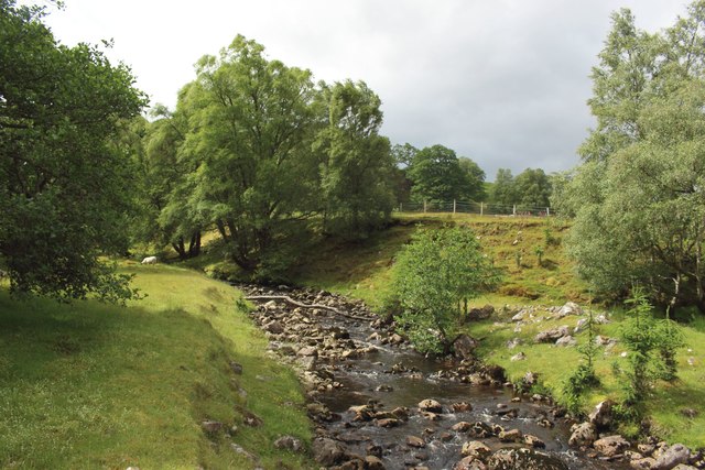
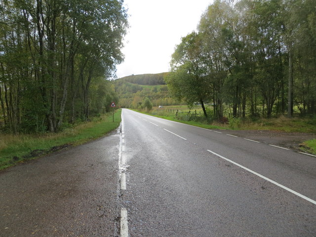
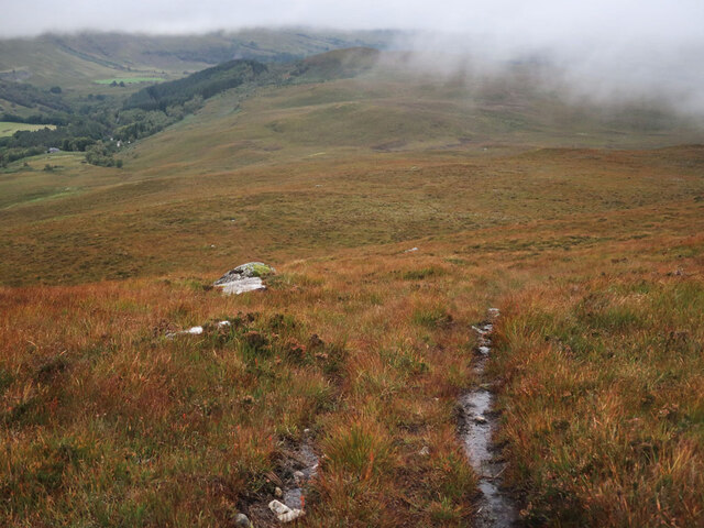
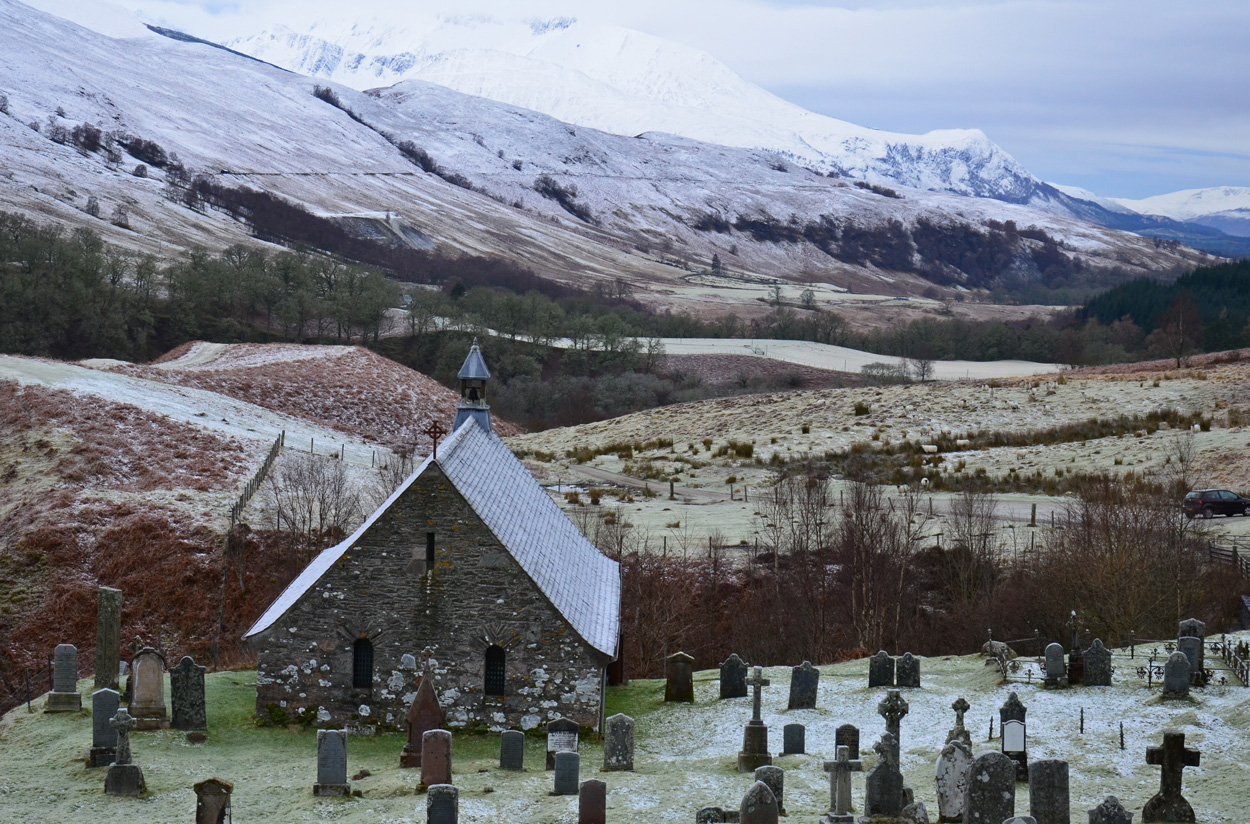
Braes o' Lochaber is a picturesque region located in Inverness-shire, Scotland. Known for its stunning natural beauty, this area is characterized by rolling hills, expansive moorland, and breathtaking views of the Scottish Highlands.
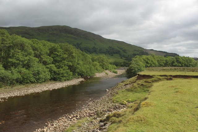
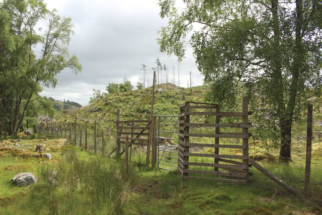
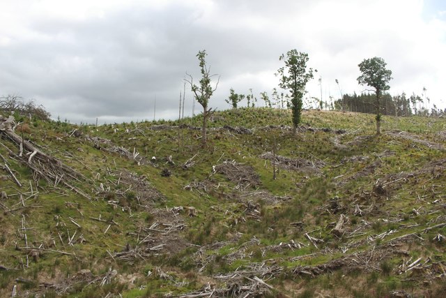
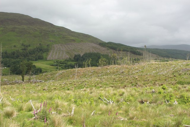
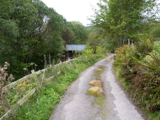
Situated in the western part of Inverness-shire, Braes o' Lochaber is nestled between the Great Glen and Loch Lochy. The landscape is made up of undulating downs and moorland, adorned with vibrant heather and scattered with rocky outcrops. This unique terrain offers visitors a tranquil and remote escape from the bustling city life.
The area is known for its diverse wildlife, with red deer and Highland cattle commonly spotted grazing on the moors. Birdwatchers will delight in the abundance of avian species, including golden eagles and ospreys, which can often be seen soaring through the skies above the lochs.
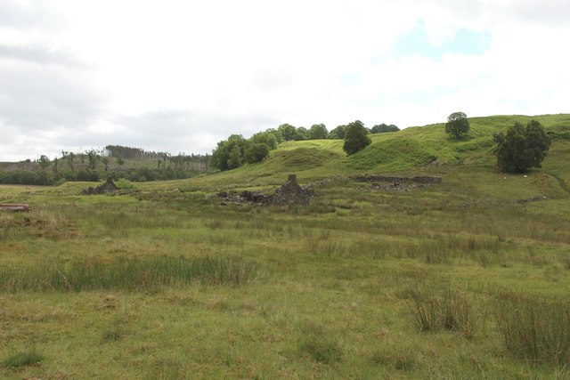
Braes o' Lochaber is also rich in history and culture. Ruined castles and ancient burial sites dot the landscape, serving as a reminder of the area's storied past. The nearby town of Fort William, known as the "Outdoor Capital of the UK," offers a range of outdoor activities, including hiking, mountain biking, and fishing.
Visitors to Braes o' Lochaber can enjoy the tranquility of the Scottish countryside while also experiencing the warm hospitality of the local communities. The area boasts charming villages and traditional pubs where visitors can sample local cuisine and immerse themselves in the region's vibrant culture.
Overall, Braes o' Lochaber is a hidden gem in Inverness-shire, offering visitors a chance to connect with nature, explore history, and experience the true essence of the Scottish Highlands.
If you have any feedback on the listing, please let us know in the comments section below.
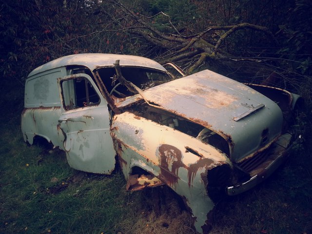
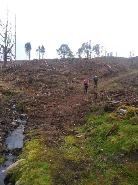
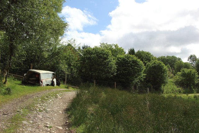
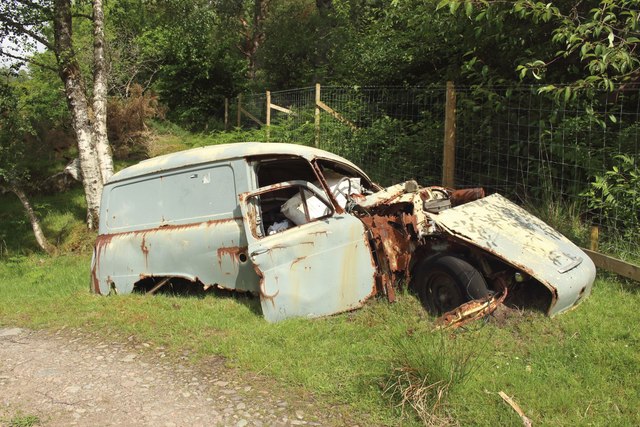
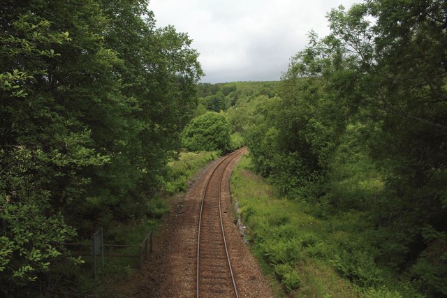
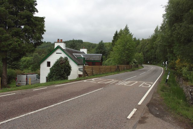
Braes o' Lochaber Images
Images are sourced within 2km of 56.888167/-4.7932878 or Grid Reference NN2980. Thanks to Geograph Open Source API. All images are credited.


Braes o' Lochaber is located at Grid Ref: NN2980 (Lat: 56.888167, Lng: -4.7932878)
Unitary Authority: Highland
Police Authority: Highlands and Islands
What 3 Words
///crusaders.bats.flush. Near Gairlochy, Highland
Nearby Locations
Related Wikis

Achluachrach
Achluachrach (Gaelic: Ach Luachrach) is a small settlement in Glen Spean in Lochaber, in the Highland council area of Scotland. It is located on the A86...
Cille Choirill
Cille Choirill is a 15th-century Roman Catholic church situated in Glen Spean in Lochaber, Scotland. Dedicated to St Kerrill, (also called "Cyril"), it...
Bohuntine
Bohuntine (Scottish Gaelic: Both Fhionndain) is a settlement located close to Roybridge, in Lochaber, within the Scottish Highlands, and is in the Highland...
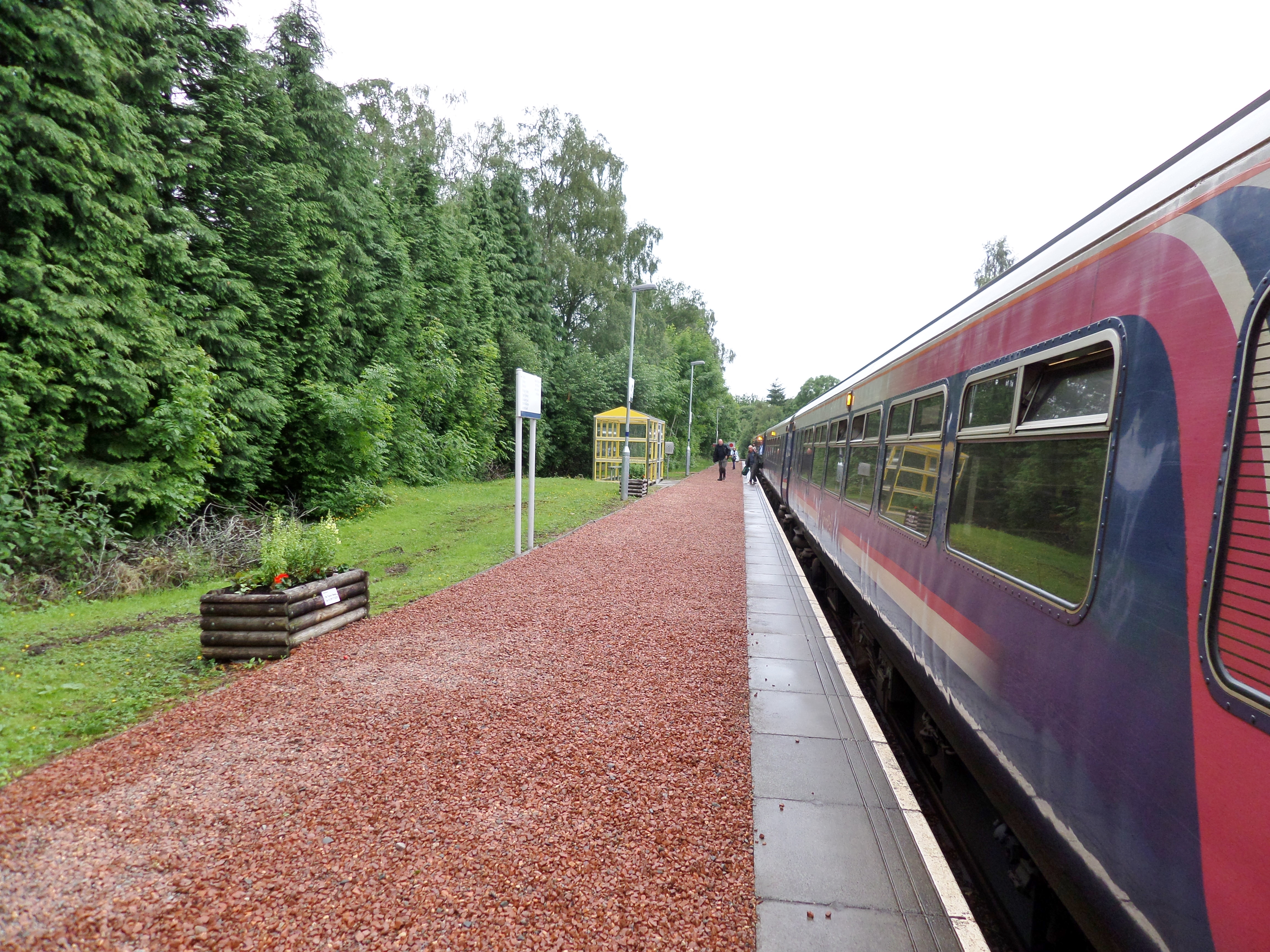
Roy Bridge railway station
Roy Bridge railway station is a railway station serving the village of Roybridge in the Highland region of Scotland. This station is on the West Highland...
Nearby Amenities
Located within 500m of 56.888167,-4.7932878Have you been to Braes o' Lochaber?
Leave your review of Braes o' Lochaber below (or comments, questions and feedback).