Eilean Achluachrach
Island in Inverness-shire
Scotland
Eilean Achluachrach
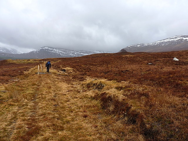
Eilean Achluachrach is a small island located off the west coast of Scotland, in the region of Inverness-shire. It is situated in the picturesque Loch Achluachrach and is surrounded by stunning mountainous landscapes. The island covers an area of approximately 3 hectares and is predominantly covered in lush green vegetation.
Access to Eilean Achluachrach is limited due to its remote location, with the nearest mainland point being around 2 kilometers away. The island is uninhabited and does not have any permanent structures or facilities. It is primarily used for grazing livestock, particularly sheep, during the summer months.
The island's name, Eilean Achluachrach, is of Gaelic origin and translates to "island of the field of stones," which is fitting as the island is known for its rocky terrain. The rocky landscape, combined with the surrounding nature and tranquil atmosphere, makes it a popular spot for nature enthusiasts and photographers.
Eilean Achluachrach is also known for its rich biodiversity, with various bird species making it their home. Visitors can often spot a variety of seabirds, including gulls and cormorants, as well as occasional sightings of otters and seals in the surrounding waters.
Due to its small size and lack of amenities, Eilean Achluachrach is not a tourist destination in the traditional sense. However, it offers a unique opportunity to experience the natural beauty and tranquility of the Scottish Highlands, providing visitors with a peaceful retreat away from the hustle and bustle of city life.
If you have any feedback on the listing, please let us know in the comments section below.
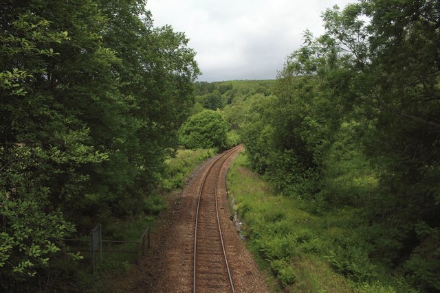
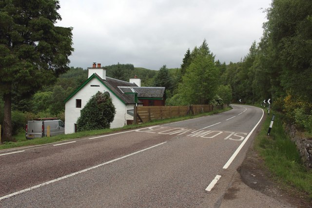
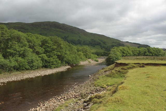
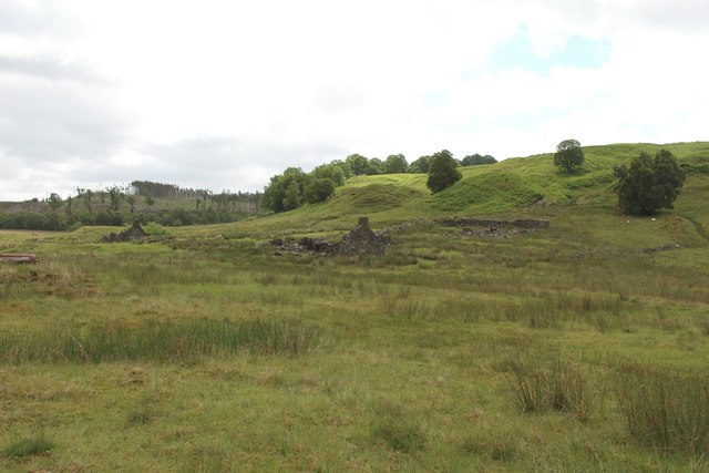
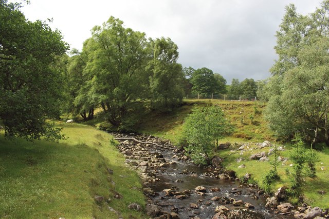
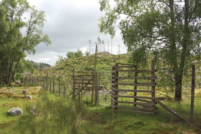
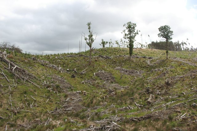
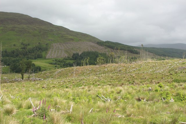
Eilean Achluachrach Images
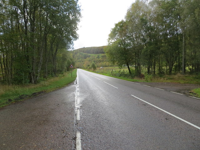
Images are sourced within 2km of 56.887549/-4.7924207 or Grid Reference NN2980. Thanks to Geograph Open Source API. All images are credited.

Eilean Achluachrach is located at Grid Ref: NN2980 (Lat: 56.887549, Lng: -4.7924207)
Unitary Authority: Highland
Police Authority: Highlands and Islands
What 3 Words
///buggy.overlooks.announce. Near Gairlochy, Highland
Nearby Locations
Related Wikis

Achluachrach
Achluachrach (Gaelic: Ach Luachrach) is a small settlement in Glen Spean in Lochaber, in the Highland council area of Scotland. It is located on the A86...
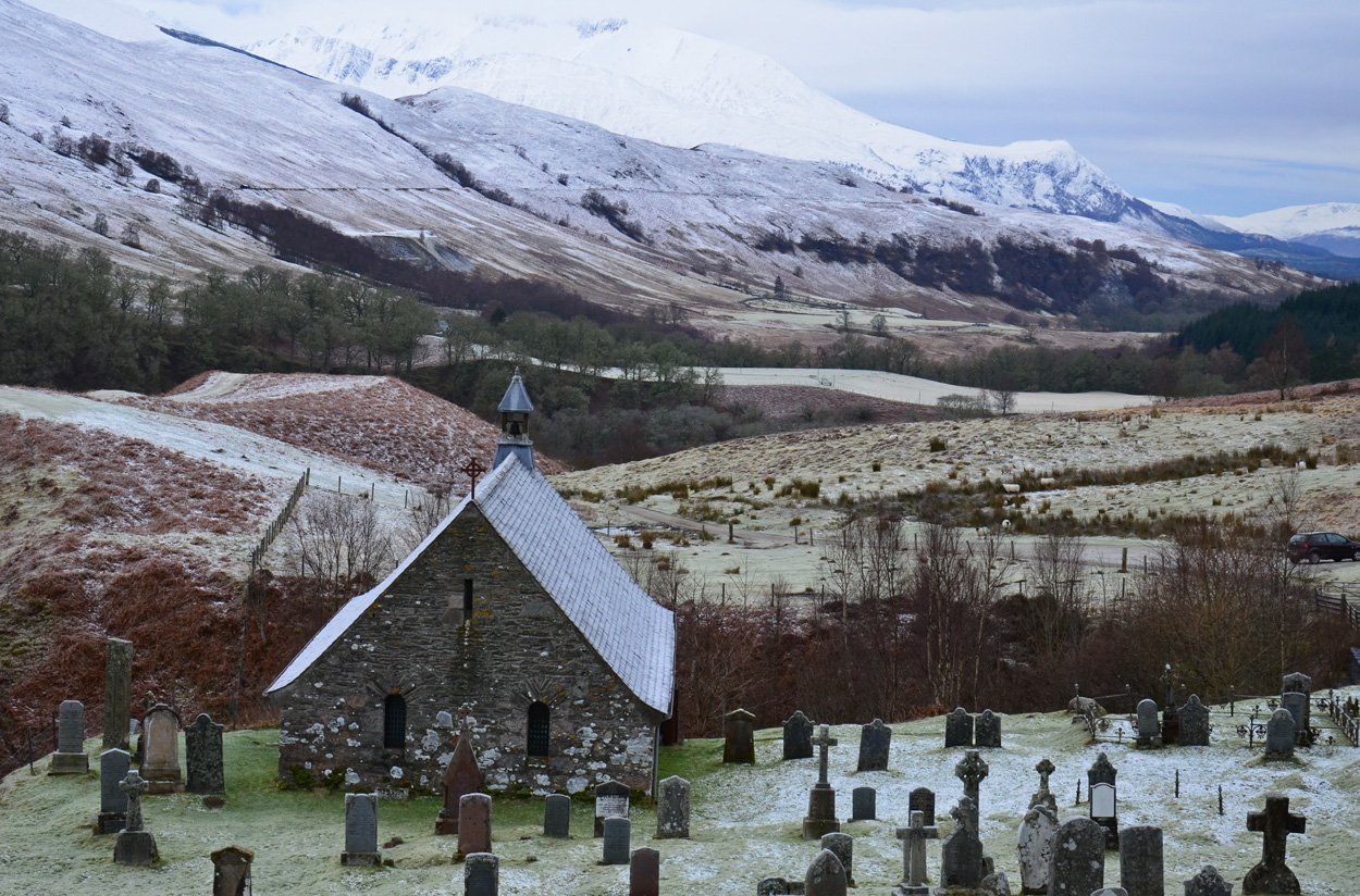
Cille Choirill
Cille Choirill is a 15th-century Roman Catholic church situated in Glen Spean in Lochaber, Scotland. Dedicated to St Kerrill, (also called "Cyril"), it...
Bohuntine
Bohuntine (Scottish Gaelic: Both Fhionndain) is a settlement located close to Roybridge, in Lochaber, within the Scottish Highlands, and is in the Highland...
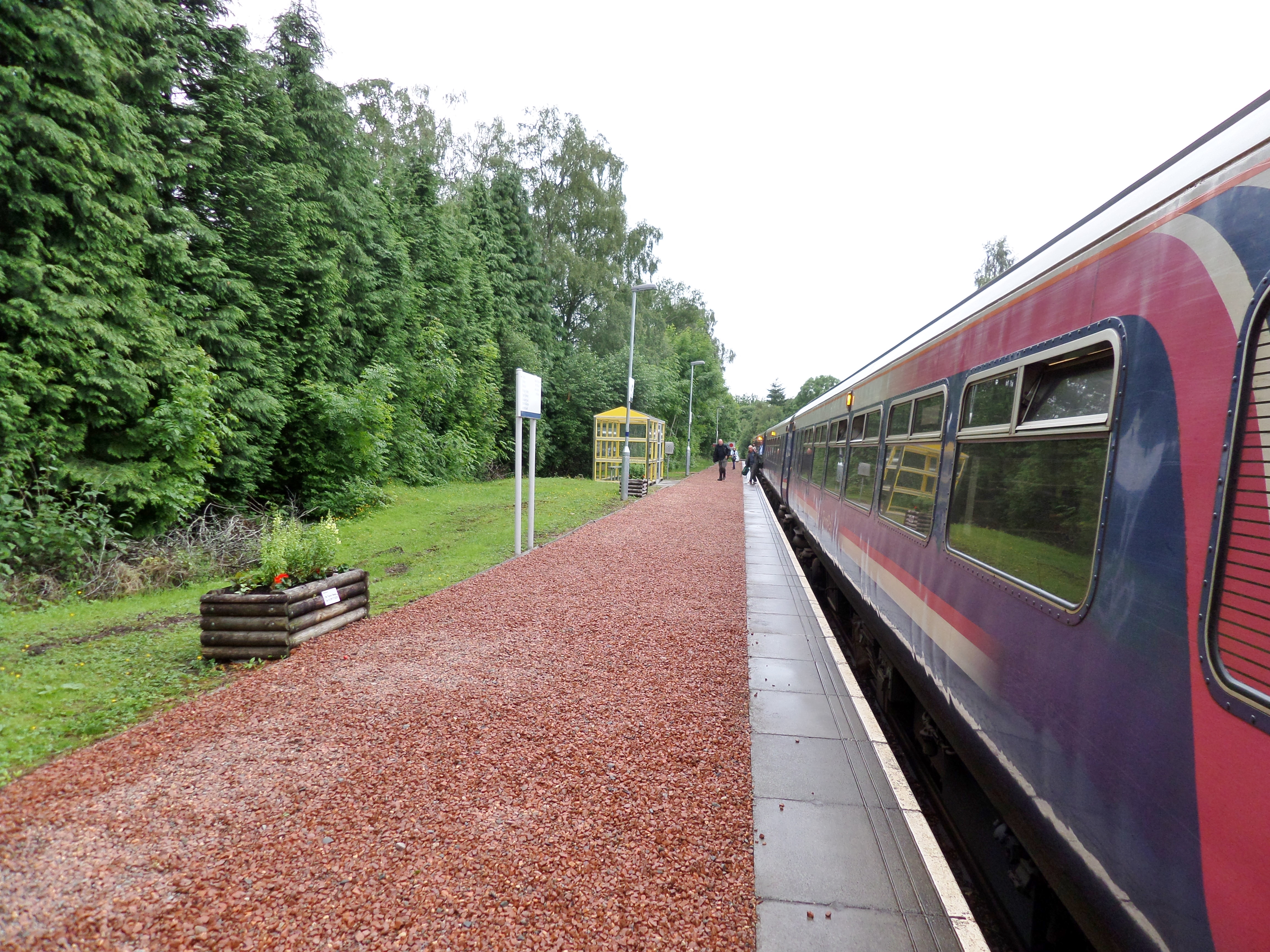
Roy Bridge railway station
Roy Bridge railway station is a railway station serving the village of Roybridge in the Highland region of Scotland. This station is on the West Highland...
Nearby Amenities
Located within 500m of 56.887549,-4.7924207Have you been to Eilean Achluachrach?
Leave your review of Eilean Achluachrach below (or comments, questions and feedback).